Mapping for Climate Ready Cities - Liberia and Sierra Leone
Through our Mapping for Climate Ready Cities program, HOT is supporting the development of a thriving ecosystem focused on the creation, interpretation, and use of maps to respond to and reduce climate risks in urban areas across four priority regions. This project page highlights our work in Liberia and Sierra Leone.
Summary
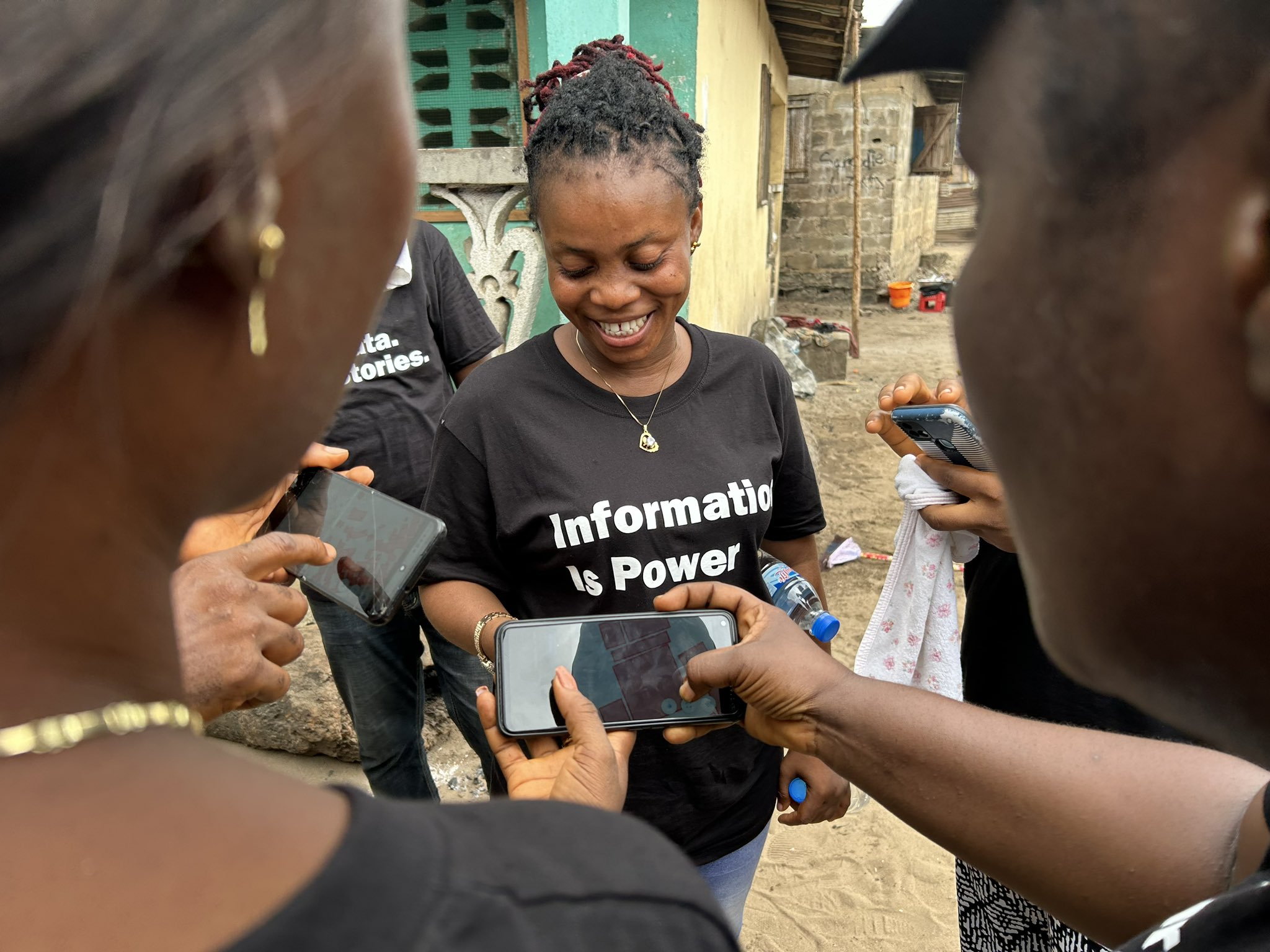
The Know Your City (KYC) initiative aims to support slum communities in Liberia and Sierra Leone to digitally map their neighborhoods, providing detailed information about infrastructure, services, amenities, and communities to ensure that urban development and climate adaptation are contextualized and community-centered. HOT brings open mapping tools, knowledge, and collaboration to the KYC coalition (led by Slum Dwellers International) to accelerate and improve this community-based adaptation approach and ensure that high quality open geospatial data is a tool that vulnerable and underrepresented communities can leverage for positive change.
Background
The West and Northern Africa region is currently undergoing unprecedented population growth and urbanization, primarily fueled by rural-to-urban migration and natural population increase. While this demographic shift brings about economic opportunities, it also presents significant environmental, social, and financial challenges.
The fast-paced urbanization is putting tremendous pressure on the current infrastructure, which has led to insufficient housing and transportation, poor air quality, inadequate healthcare, and subpar management of solid waste. This, in turn, has resulted in negative consequences, such as inadequate city planning, public service delivery, and infrastructure development. The unchecked growth of cities has also led to environmental degradation, which continues to impact the quality of life for urban dwellers.
City authorities have struggled to address various challenges due to limited resources, skills, and tools. With this in mind, the Eco-Smart Cities and KYC projects aims to tackle these issues by offering reliable open data and visual analysis to city authorities, community groups, and other stakeholders. They will also provide capacity building and follow an open and participatory approach to collaborate with the private sector for sustainable urban development.
Approach
Methodology
- Align on specific campaign objectives (with slum communities).
- Develop a data model.
- Conduct data protection and ethics analysis.
- Acquire high resolution imagery (drones or other sources).
- Digitize imagery to produce a basemap (crowdsourced and AI-assisted mapping).
- Conduct field mapping campaigns.
- Manage data.
Datasets Collected
The projects will generate datasets on building footprints and attributes, roads, waterways, zone names, air quality data, population, infrastructure, services, land use, health, and public facilities. KYC will also include household survey enumeration, but this data is sensitive and will not be made available through open platforms.
Expected Outcomes
- High quality, comprehensive open data in OpenStreetMap (vector) and OpenAerialMap (raster) covering >70 informal settlements across Liberia and Sierra Leone.
- Slum communities and NGO partners with skills and experience of using open mapping software to accelerate and improve mapping / data collection for local impact.
Expected Impact
- Liberia: Integration of community data and perspectives in climate adaptation planning and implementation in Monrovia.
- Sierra Leone: Establishment of Sierra Leone’s first three Special Planning Areas, formally establishing residency for communities in these settlements and catalyzing a community-led urban development plan (known as an Area Development Plan).