Mapping for Climate Ready Cities - Nigeria and Ivory Coast
Through our Mapping for Climate Ready Cities program, HOT is supporting the development of a thriving ecosystem focused on the creation, interpretation, and use of maps to respond to and reduce climate risks in urban areas across four priority regions. This project page highlights our work in Nigeria and Ivory Coast.
Summary
The Eco-Smart Cities project aims to tackle the challenges of urbanization in underdeveloped secondary cities with large populations in Nigeria and Côte d’Ivoire. In Nigeria, the project is focused on improving several cities, including Mushin in Lagos State, Iseyin and Ogbomosho in Oyo State, North and South Kaduna in Kaduna State, and Agbara and Sango Otta in Ogun State. In Côte d’Ivoire, the project is being implemented in Yamoussoukro city in the Central and Gagnoa city in the Western regions.
Employing open data and participatory mapping, the project aims to tackle a range of issues, such as environmental degradation, inadequate infrastructure, transportation, waste management, population, air quality, and urbanization. By systematically working with city authorities to collect, analyze, and present reliable data on these challenges, the project seeks to foster sustainable urban growth and offer valuable insights to city authorities and the public.
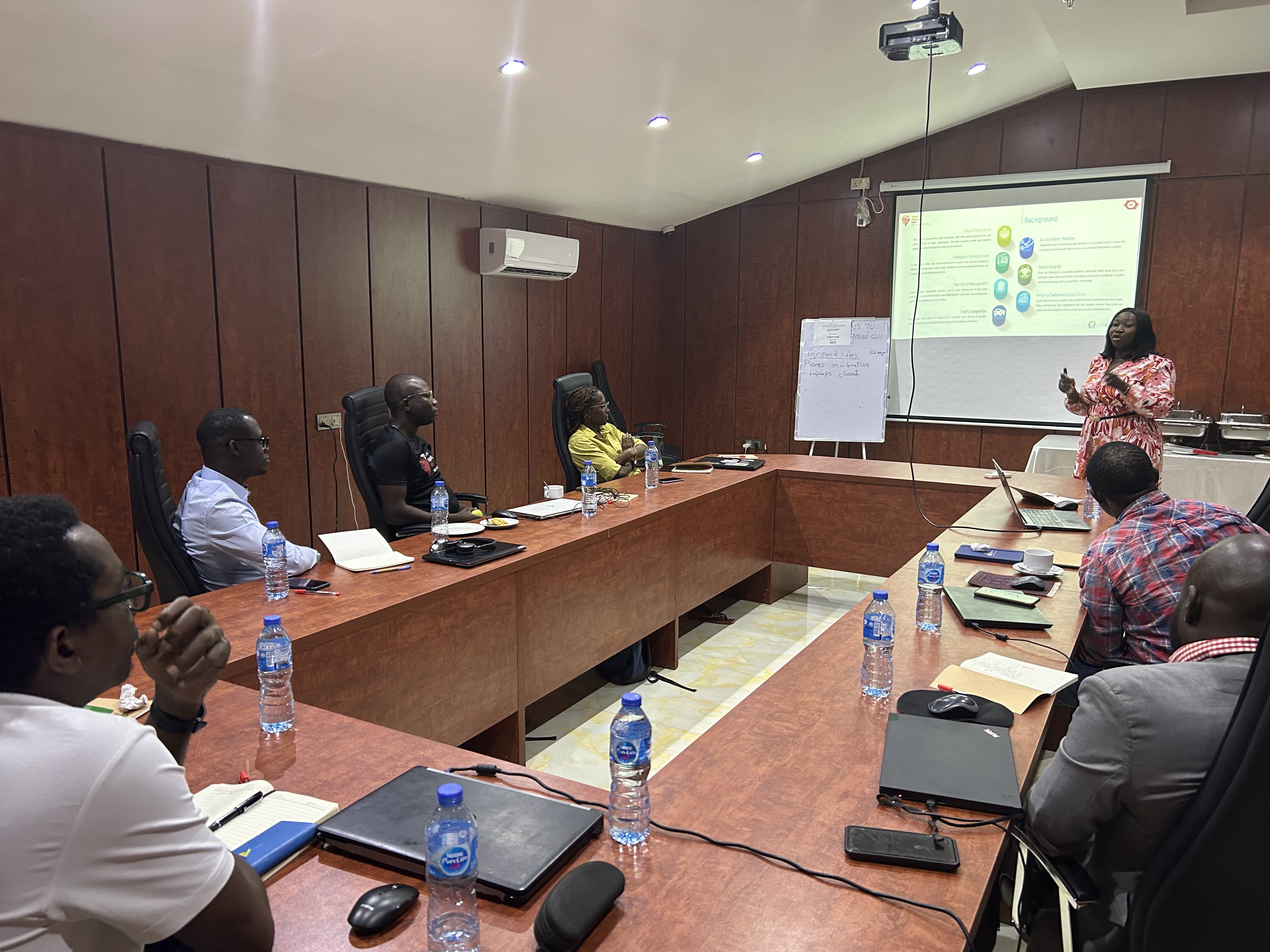
Background
The West and Northern Africa region is currently undergoing unprecedented population growth and urbanization, primarily fueled by rural-to-urban migration and natural population increase. While this demographic shift brings about economic opportunities, it also presents significant environmental, social, and financial challenges.
The fast-paced urbanization is putting tremendous pressure on the current infrastructure, which has led to insufficient housing and transportation, poor air quality, inadequate healthcare, and subpar management of solid waste. This, in turn, has resulted in negative consequences, such as inadequate city planning, public service delivery, and infrastructure development. The unchecked growth of cities has also led to environmental degradation, which continues to impact the quality of life for urban dwellers.
City authorities have struggled to address various challenges due to limited resources, skills, and tools. With this in mind, the Eco-Smart Cities and Know Your City (KYC) projects aims to tackle these issues by offering reliable open data and visual analysis to city authorities, community groups, and other stakeholders. They will also provide capacity building and follow an open and participatory approach to collaborate with the private sector for sustainable urban development.
Approach
Methodology
- Engage with stakeholder’s and local partner’s input in selecting project cities.
- Conduct a master training in Abuja, bringing partners together to align the project’s approach, tools, knowledge sharing, and contextualization.
- Train local mappers, including technical stakeholders, from city authorities.
- Engage stakeholders through data use case survey desk review and capacity building.
- Conduct remote mapping activities.
- Analyze data, develop a product web map, and package open data for stakeholders.
- Host a regional workshop bringing together city authorities and experts from the region to present project findings, recommendations, and data products.
- In Nigeria, combine remote mapping data with relevant existing data from critical stakeholders and use sensors to generate air quality data for five months.
Datasets Collected
The projects will generate datasets on building footprints and attributes, roads, waterways, zone names, air quality data, population, infrastructure, services, land use, health, and public facilities.
Expected Outcomes
- A minimum of eight (8) secondary and populated cities across two countries are mapped, and data is publicly available to city authorities and added to OSM for development purposes.
- New partnerships are established with city authorities in eight or more cities in two countries.
- Over five (5) million buildings’ footprints are reflected on OpenStreetMap.
- Over 5,000 kilometers of roads and waterways are added to OSM.
- An interactive web map is developed to house data layers for stakeholders and the general public to access and download.
- Map an area home to over 10 million people.
- Over 100 Communities, zones, and town names across several cities are added to the OpenStreetMap geospatial database.
- Map contributors are trained using AI tools for improved and accurate remote mapping activities.
- Existing datasets are combined with remote mapping datasets to provide maps of cities with an emphasis on air quality-impacted areas.
- Analysis of air quality, population, and causes will be presented in visualized formats.
Expected Impact
- The project outcomes will pave the way for accurate ground-truthing activities leading to amenities and street view mapping.
- Upgraded and expanded spatial data on urban infrastructure, including building layouts and footprints, road networks, waterways, land use, and settlement names on public maps, are available, leading to better service delivery and quality of life for residents and commuters to city authorities.
- The project will combine satellite data, ground-based sensor data, and OSM data to identify pollution hotspots and at-risk communities. This data will be critical for stakeholders to make data-driven decisions for air quality management that promotes public health.