Disaster Services — 10 February, 2022
Cyclones Ana & Batsirai 2022 Response
Cyclones Ana & Batsirai 2022 Activation Stats:
Community Mappersⓘ Total number of Mappers from Missing Maps
Total Map Editsⓘ Total number of edits from Missing Maps
Buildings Mappedⓘ Total number of buildings mapped from Missing Maps
Roads Mapped (KM)ⓘ Total length of roads mapped from Missing Maps
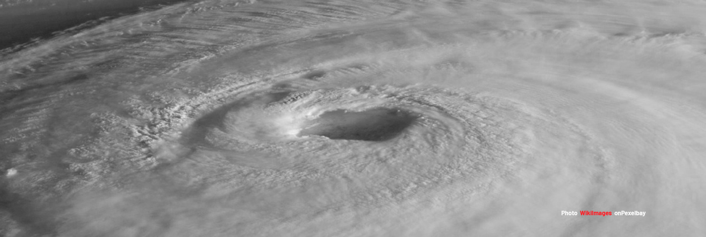
This in activation to support OSM Madagascar for the Cyclones Ana & Batsirai.
Context: “Cyclones ANA and BATSIRAI caused considerable damage in Madagascar in January and early February. The “Bureau National de la Gestion des Risques et des Catastrophes (BNGRC)” estimated that cyclone Batsirai threatened more than 600,000 people. As part of the emergency response, this mapping project is being implemented to assist emergency actors in the field”
- OSM Madagascar
Hot is supporting OSM Madagascar on their effort to map the following areas:
12080, CAMARINES SUR AND NORTE - LAND USE
12081, IMPACT OF ANA & BATSIRAI CYCLONES - AMBOSITRA, FIANARANTSOA, MADAGASCA
12082, IMPACT OF ANA & BATSIRAI CYCLONES - AMBALAVAO, FIANARANTSOA, MADAGASCAR
12083, IMPACT OF ANA & BATSIRAI CYCLONES - FANDRIANA, FIANARANTSOA, MADAGASCAR
12084, IMPACT OF ANA & BATSIRAI CYCLONES - AMBOHIMAHASOA, FIANARANTSOA, MADAGASCAR
12085, IMPACT OF ANA & BATSIRAI - MIDONGY, ATSIMO-ATSINANANA, MADAGASCAR
Also, MSF is mapping for this event in Zimbabwe with the following flood resilience project:
12046, TROPICAL STORM ANA : MUTASA DISTRICT, ZIMBABWE - BUILDINGS