OSM Colombia: mitigating rural landslides
Building resilience of agricultural communities to disasters
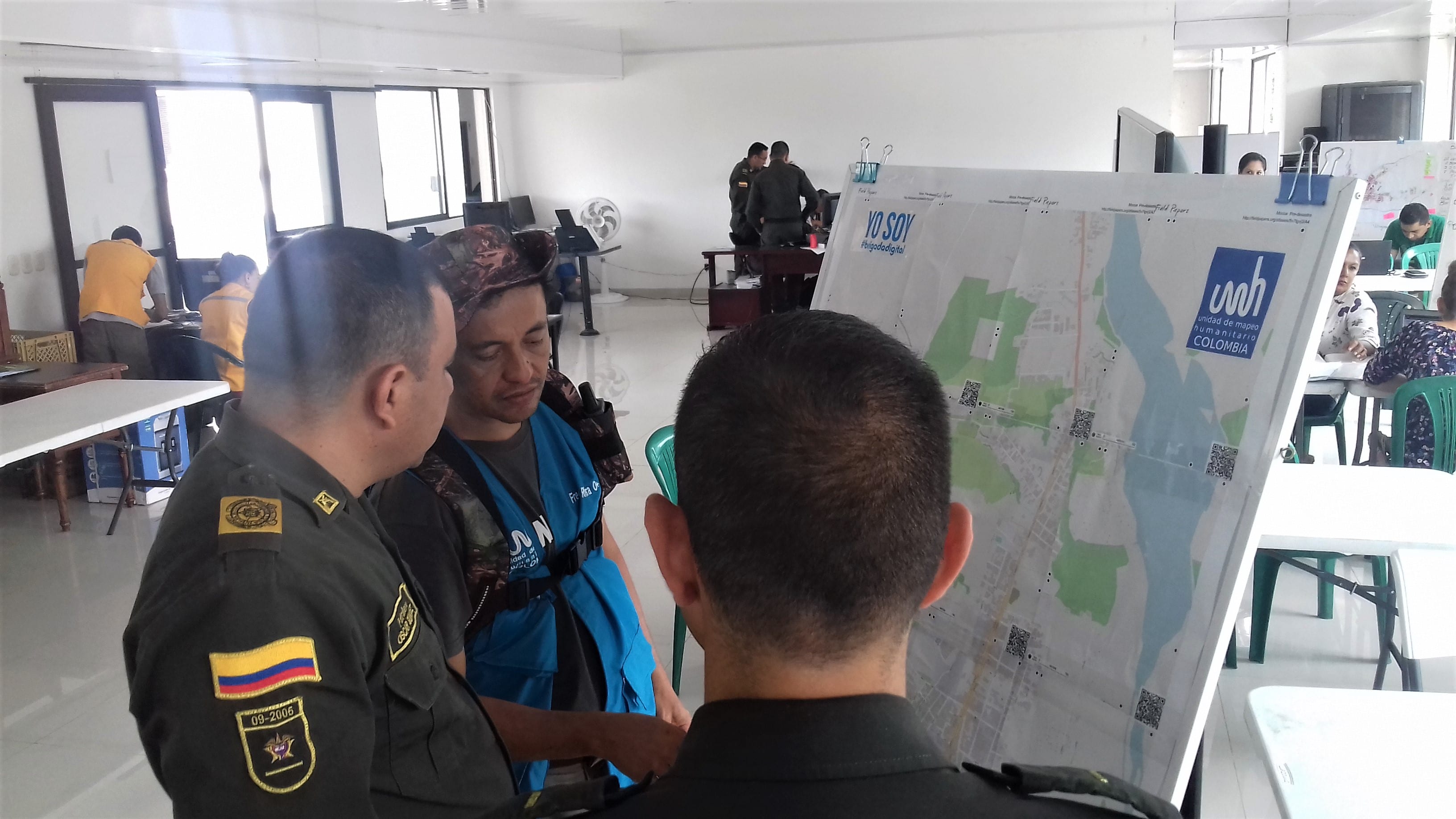
Fundación OpenStreetMap Colombia are collaborating with local government and local organisations on the Countryside Mappers Program. This empowers people, associations, and communities for territorial management, particularly within times of crisis.
Recently, agricultural communities in Colombia have suffered due to devastating earthquakes and high volumes of landslides during rainy seasons.
The updated maps the project is creating will be used with local government to create Territorial Arrangement Planning maps.