OSM Zambia: Mapping Peri-Urban Areas

Improving basemaps of peri-urban areas in Zambia
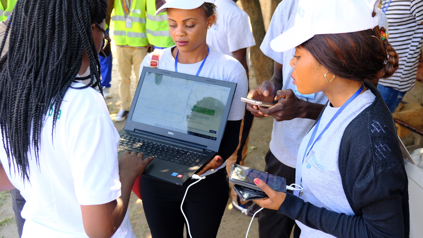
Since 2016, OSM Zambia has been introducing communities to OSM and tools used for mapping and data collection through community building activities and trainings. The objective is for local people to be able to map peri-urban areas which are facing challenges like flooding, cholera and poor delivery of services such as Water and Sanitation.
So far, the OSM Zambia community have mapped the capital Lusaka, Misisi, Chaisa, Emmasdale, and Kawama settlement in Mufulira in the copper-belt province of Zambia. OSM Zambia has gone further to conduct a socio-economic survey during field mapping in Kawama settlement. Over 70,000 buildings have been added to the map. The open geospatial data created is being freely-accessed by the Ministry of Local Government and various local authorities that are using OSM data for town planning and development initiatives.