Disaster Activation: Cyclones, Flooding, Volcanic Eruption, Ebola outbreak 2018
Since the beginning of May 2018, HOT has been called upon to respond to, or assist, a handful of disasters across the globe. Details on the projects, and how you can get involved are below. Maps can play a critical role in potentially saving the lives of millions of people worldwide, a big thank you to the mappers volunteering to create them.
Somalia and Cyclone Sagar
Context
Our first request came from the United Nations Institute for Training and Research (UNITAR) regarding flooding in Somalia. After delivering building data for the requested area we were asked to monitor any needs for Cyclone Sagar.
Progress made
We were able to quickly map the areas of interest in Somalia adding over 18,000 buildings to the impacted area.
Results of the mapping
UNITAR was able to conduct analysis and produce maps using OpenStreetMap data: http://www.unitar.org/unosat/node/44/2806
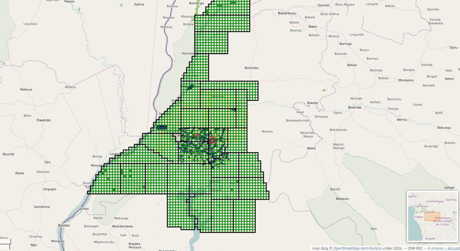
Ebola in the DRC
Context
Ebola has made a resurgence in the Democratic Republic of Congo. A well prepared local OpenStreetMap community has been working with the Congolese Ministry of Public Health, local aid organizations as well as Missing Maps partners such as Médecins Sans Frontières (MSF) to coordinate the mapping effort. HOT is supporting this locally led response to help with mapping and validation as well as communications and coordination between stakeholders.
Progress made
From May 8 until July 2, ~850 mappers added over 250,000 buildings and thousands of kilometers of roads and waterways to the map in support of relief efforts led by organisations including MSF.
Use the data
Data made available via HDX (generated by the HOT Export Tool) https://data.humdata.org/group/cod?organization=hot#dataset-filter-start
Osaka, Japan Earthquake
Context
CrisisMappers - Japan and OpenStreetMap - Japan, quickly put together projects to map infrastructure in the most heavily impacted areas around the earthquake near Osaka. HOT Coordinators have been assisting with communications and managing the response.
Progress so far
As of June 30, 435 mappers have made over one-million changes to OpenStreetMap in response to the earthquake.
Get Involved
Mapping projects for the Osaka Earthqauke can be found here: https://tasks.hotosm.org/contribute?difficulty=ALL&campaign=DRONEBIRD
Colombia Flooding and Dam Failure
Context
We were alerted that the OSM-Colombia community had immediately put together a project when word came that the Hidroituango dam could potentially fail. HOT has helped promote their effort and are standing by for any further needs.
Progress made
Around 150 mappers have mapped over 50,000 buildings around the Hidroituango dam in preparation.
Mapswipe
A larger area around the dam was mapped with the Mapswipe app: https://mapswipe.org
Flooding in Sri Lanka
Context
In late May, HOT was contacted with a request on behalf of the Disaster Management Centre of Sri Lanka for building data in the most heavily affected areas experiencing flooding. This is seasonal, monsoon rain and just two years ago we coordinated a similar response. The area is quite large with many buildings, so we have Activated a team to coordinate the mapping response.
Progress so far
In just the first hours of mapping, 37 mappers added over three thousand buildings to the area experiencing the worst of the flooding. As of June 10, almost 600 mappers have joined the effort and have digitized almost 100,000 buildings to the map of Sri Lanka.
Get involved
Mapping tasks can be found here: https://tasks.hotosm.org/contribute?difficulty=ALL&campaign=Disaster%20Response
Data made available via HDX (generated by the HOT Export Tool): https://data.humdata.org/group/lka?organization=hot&q=&ext_page_size=25
Kilauea Volcano, Hawaii
Context
HOT monitored the eruption of Mount Kilauea from early on. Being, so far, a relatively slow progression event there has not been much need for our help except to set up a project for the local mappers. We continue to monitor and stay in contact in case things get worse.
Progress so far
About 70 mappers have made almost 60,000 changes to the map of Hawai’i including where the fissures and lava flows are.
View the map
The area around Leilani Estates has been heavily impacted, the mapping results can be viewed here: https://osm.org/go/Q0fnIqxI-?relation=6526869
Fuego Volcano, Guatemala
Context
Just after the eruption of the Fuego Volcano in Guatemala, OpenStreetMap contributors began filling in the impacted area’s buildings. HOT has been monitoring the needs of response agencies and are publishing targeted projects to fulfill those requests. Just over 17,000 buildings have been added in the area surrounding the Fuego Volcano, see also the additional resources described below.
Use the data
We have increased the frequency of data exports to HDX, now Guatemala is updated daily: https://data.humdata.org/search?q=HOTOSM+Guatemala&ext_search_source=main-nav
View the newly released imagery
DigitalGlobe has released more recent imagery of Fuego Volcano area, which we have uploaded to OpenAerialMap
More resources:
-
Learn to Map, or brush up on your mapping skills: the more people that contribute, the quicker we can provide the maps needed to response teams. High quality data is important, and we have a lot of materials online to help create this, visit http://learnosm.org/ and http://www.missingmaps.org/learn/#beginner
-
Want to help with or watch the activation coordination? Join us on Slack (https://slack.hotosm.org/) and then join #disaster-mapping
-
Want to become an HOT Activator, start with the Activation Essentials course here: http://courses.hotosm.org/ Got questions? Ask us via Slack, or email info@hotosm.org
-
Can you spare some financial support? All donations help HOT to support and maintain our infrastructure ongoing so we can always be ready to respond to disasters: https://www.hotosm.org/donate
-
Spread the word via social media so more people can join the mapping: we’re posting regularly on https://twitter.com/hotosm and https://www.facebook.com/hotosm/
We cannot thank HOT Community enough for their contributions, and for anyone affected by these disasters, we’re wishing the best possible outcome for you and your families.