UAV Imagery for Disaster Response: Pacific Drone Imagery Dashboard (PacDID)

HOT deployed OpenAerialMap for use by the Pacific Community (SPC) as part of the Pacific Humanitarian Innovation Challenge.
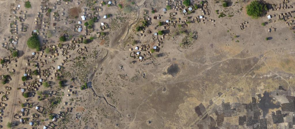
In places like Fiji and Vanuatu, which have experienced significant typhoon damage in recent years, the “view from above” provided by satellites, aircraft and more recently by drones, is a crucial resource needed in any phase of disaster risk management, from preparedness, to response, to recovery. The PacDID project was formed out of the need to further enable imagery as a resource within Pacific island communities through the Pacific Humanitarian Challenge (PHC), and built on the work we’ve done with OpenAerialMap.
The Pacific Drone Imagery Dashboard (PacDID) is a platform that leverages the OpenAerialMap (OAM) concept to making open imagery collected by satellites and drones easily available to humanitarian actors across all Pacific Island Countries (PICs). OpenAerialMap has become the reference platform for finding and sharing openly licensed imagery made available for preparing, responding and recovering from natural disasters.
Over the last 18 months, HOT collaborated with disaster specialists at the GeoScience Division of the Pacific Community (SPC) to implement a customized version of OAM that addresses the specific needs of working with imagery in the challenging PIC environment. This platform, called PacDID, provides some key innovative features:
- A single entry point to finding aerial and satellite imagery which is otherwise traditionally stored in disconnected spaces and disparate formats;
- An easy mechanism for drone pilots to upload and rapidly share imagery they collected with decision makers, analysts and responders;
- A visual map tool for DRM managers to requests new imagery for specific areas and for drone pilots to coordinate surveys on the ground; and
- Scalable imagery web services for integration with GIS and mapping software.
OpenAerialMap was launched less than two years ago, but already allows easy access to thousands of openly licensed images that are provided by over 160 providers. OAM is built using open source software and common data standards that enable fast indexing and interoperability with other mapping systems.