News — 19 September, 2018
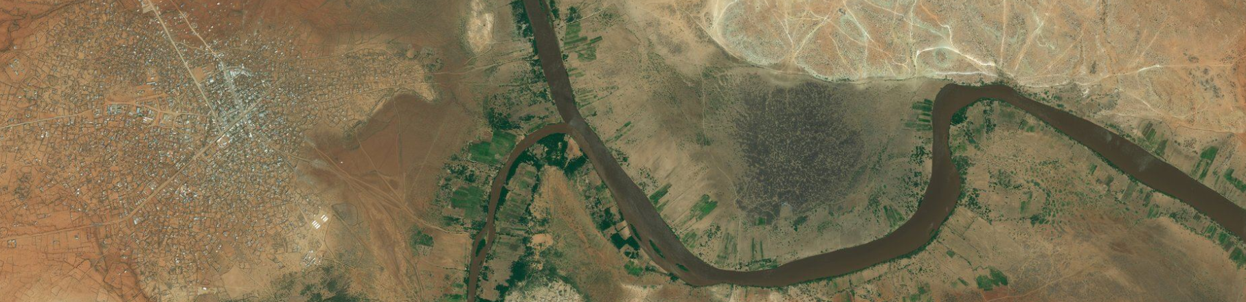
Open Imagery for Humanitarian Mapping
Analysis of imagery source use within the Tasking Manager
Today is SatSummit and we want to give a shout out to imagery providers and the layers they provide to the OpenStreetMap (OSM) community. As discussions about all aspects of processing and using satellite imagery, one aspect continues to make a huge impact – access to imagery for OpenStreetMap. Microsoft Bing, DigitalGlobe, Mapbox, and ESRI all provide global layers that make humanitarian mapping in OpenStreetMap possible.
We’ve been exploring the metadata of our Tasking Manager projects to gain insights about different project parameters and how we can improve data quality in our mapping. Today we’ve taken a look at the imagery source used across projects in the recent years. The HOT community continues to use the global layers and open imagery made available for OpenStreetMap and we see the impact of the open access through the Tasking Manager.
In 2017 and 2018 there were 2,253 projects created within the Tasking Manager. Within those projects:
-
64% used Bing imagery
-
49% used DigitalGlobe imagery
-
34% used Mapbox imagery
-
17% used ESRI imagery
-
1% used OpenAerialMap imagery
Note: Many projects reference multiple imagery sources, so totals add up beyond 100%. Keep reading for caveats and limitations.
Thank you imagery providers for enabling OpenStreetMap mapping with open imagery!
Clear image for better data
The choice of imagery provider for any project depends on the clarity and recency of the images. Bing & DigitalGlobe are the most preferred imagery layers for mapping in a majority of projects because of wide coverage & availability of imagery resolutions that make it ideal for mapping. Since mid-2017, both ESRI and DigitalGlobe made their global layers available for OpenStreetMap use. When looking at 2018 only, use of ESRI imagery jumps up to one-third of all projects.
Dig into the outputs of the data here.
Caveats and a note on improving metadata tracking within the Tasking Manager
Our analysis only goes as far as the data allows us. We’re limited to key word searching across several aspects of project metadata that isn’t perfectly standardized. We can’t identify the sole imagery provider for all projects because many projects rely on multiple sources. For example in larger projects if there is an area where there is cloud cover, the standard procedure is to fall back on an alternative source where there is clear imagery. Project instructions note both sources and not all projects fill in the required metadata. So for our analysis, we can only discuss about imagery usage in general. We’d like to improve our data points to accurately pinpoint a particular source as a sole imagery provider for larger HOT projects or geographies.
These limitations point us to improved metadata tracking. We’ve just scratched the surface with imagery source. There’s a lot more we could learn while working on the metadata, but it’s clear there is a need to improve the standardization of metadata across projects.
Let us know your thoughts on how well we could dig into project fields and enrich the Tasking Manager design. You can also reach out to us on Slack & Twitter.
If you’re at SatSummit today, say hello to Tyler, Rebecca, Cristiano, and Dakota.