




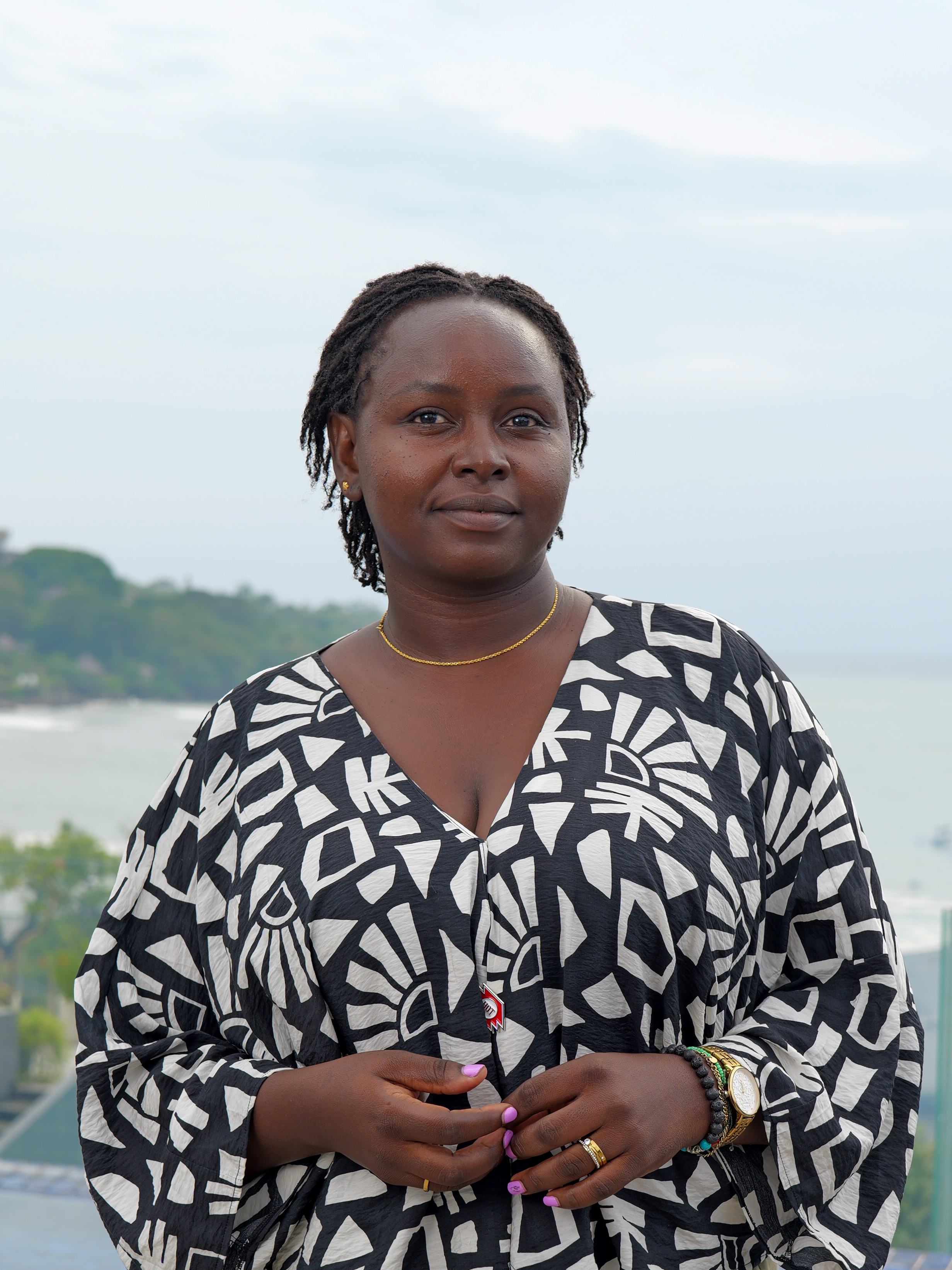
Pauline Omagwa
Communications and Fundrainsing / Eastern & Southern Africa / Kenya
Pauline Kwamboka is a Communications and Fundraising Specialist at the Humanitarian OpenStreetMap Team (HOT) ESA Hub. In her role, Pauline leads external communications and impact storytelling across HOT's Eastern and Southern Africa Hub, spanning seven countries.
She brings experience in humanitarian response, human rights, and security communication, having worked with UNHCR, the Lutheran World Federation, and civil society organisations in Kenya and across the region. Beyond her professional work, Pauline is deeply committed to community and localisation. She is passionate about humanitarian causes, minority representation and has volunteered in support of education and women's and girls' rights.
Posts
April 16, 2024
Climate Mapping Campaign: Help map Eastern & Southern Africa to fight climate change!
The devastating impacts of climate change, from intense cyclones to prolonged droughts, are threatening the lives and livelihoods of millions in Eastern and Southern Africa. At HOT's Open Mapping Hub (OMH-ESA), we are dedicated to advancing open mapping solutions for community development and social impact.
April 24, 2026
Invisible No More: Closing the Gender Data Gap in Humanitarian Emergencies
Oct. 14, 2026
The Missing Ingredient in Early Warning is People and Maps
Oct. 20, 2026
Building Africa's Next Drone Workforce: A Q&A with Palesa Thetele.
Africa has fewer than 5,000 certified drone pilots. Palesa Thetele, a computing graduate from Botswana, is now one of them.
Palesa joined an intensive residency at the African Drone and Data Academy, based at the Malawi University of Science and Technology. She started with zero flight hours. She finished with three remote pilot certifications after using drone mapping, GIS, and AI to tackle public health challenges.
Her training is part of Design Thinking for Drone and Data Technology for the Youth Force. The initiative is building a new generation of certified youth drone mappers. It brings together the Humanitarian OpenStreetMap Team (HOT), UNICEF, the African Drone and Data Academy, Generation Unlimited, the Lesotho Aviation Authority, and Yoma.
We spoke to Palesa about her background, the training, and how she plans to use spatial data to solve problems at home.