



Equal Earth vs. Mercator: The Newer Projection Trying to Fix an Old Distortion
Posted by Saïd Abou Kharroub • Sept. 8, 2026
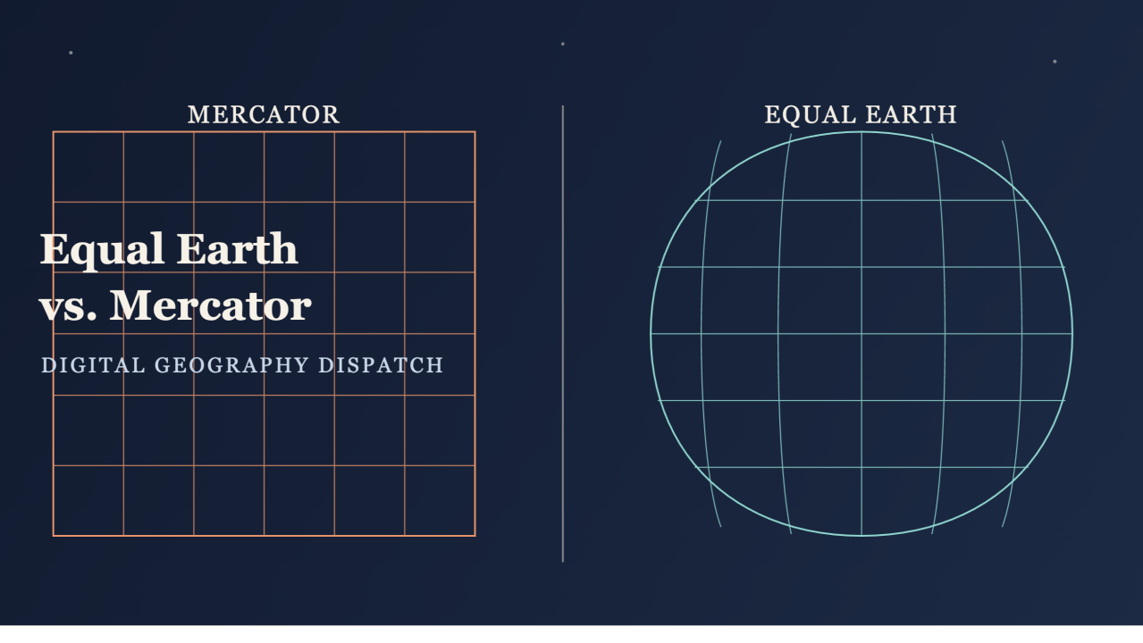
Most people have only ever seen one shape of the world —the familiar rectangular map with Greenland looking almost as big as Africa. That's the Mercator projection, and it's nearly 500 years old. In 2018, three cartographers introduced a genuine alternative: the Equal Earth projection. Here's what it actually changes, and why it matters.
Why Mercator distorts the world in the first place
The Mercator projection was invented in 1569, designed for a specific job: preserving accurate compass bearings for ocean navigation. It does that well. What it sacrifices is area —the projection inflates landmasses further from the equator and shrinks those near it, which is why Greenland appears comparable in size to Africa on a Mercator map despite being roughly 14 times smaller in reality. That trade-off made sense for 16th-century sailors. It's less defensible as the default mental image of the world most people carry today.
A newer, purpose-built alternative
The Equal Earth map projection is an equal-area pseudocylindrical global map projection, invented by Bojan Šavrič, Bernhard Jenny, and Tom Patterson in 2018. Unlike Mercator, it's explicitly designed to preserve the relative size of landmasses —an equatorial country and a similarly-sized country near the poles will actually look similarly sized on the map, which is not true of Mercator.
What's notable is why they built it. The projection was created in response to Boston Public Schools' 2017 decision to adopt the Gall-Peters projection for its classrooms, specifically to more accurately show the relative sizes of equatorial and non-equatorial regions. That decision was controversial in cartography circles —Gall-Peters accurately preserves area but distorts shape heavily near the poles, and mapmakers Šavrič, Jenny, and Patterson felt the available equal-area alternatives were all visually unappealing. So they built a new one that tried to solve both problems at once: real area accuracy, without ugly distortion.
What Equal Earth actually preserves —and what it still trades away
Equal Earth keeps curved sides that suggest the spherical form of Earth, straight parallels that make it easy to compare how far north or south places are from the equator, and evenly spaced meridians along any line of latitude —while critically maintaining true relative area throughout. It borrows its general visual appeal from the older Robinson projection, but where Robinson is a compromise projection that doesn't preserve area, Equal Earth actually holds onto that property while still looking similar in overall shape.
That said, no projection escapes the fundamental limit: flattening a sphere always means sacrificing something. Equal Earth accepts some shape and angle distortion, particularly in polar and far-longitude regions, in exchange for accurate area everywhere. It's a different trade-off than Mercator's, not a projection with no trade-off at all.
Who's actually using it
This isn't just an academic proposal. Equal Earth was quickly adopted by NASA's Goddard Institute for Space Studies, and one of its earliest real-world applications was a map of global mean temperature anomalies for July 2018 —exactly the kind of scientific data visualization where accurate relative area matters more than preserved navigation angles. It's now built into major GIS software, including ArcGIS Pro and the open-source PROJ library used across countless mapping tools.
The bigger pattern here
Equal Earth is a good case study for something this newsletter keeps returning to: projection choice is never neutral, and it's increasingly something organizations choose deliberately rather than inherit by default. The same instinct that pushed Boston's schools toward Gall-Peters, and then pushed three cartographers to build something better than Gall-Peters, reflects a broader shift — institutions are starting to treat "what world map should we show people" as a real design decision with real consequences, not a solved problem from 1569.
The takeaway
Equal Earth doesn't claim to be a perfect, distortion-free map —no flat projection can be. What it offers is a genuine, purpose-built alternative to a 500-year-old default, one that keeps relative size honest without the visual ugliness that made earlier equal-area projections unpopular. Worth knowing the name next time you're picking a base map for anything where accurate scale actually matters.
Share




