



From resilience building to earthquake response: how HOT remains committed to Colombia
Posted by Mar Marín Villagrana, Céline Jacquin, Karla Picado • Sept. 2, 2026
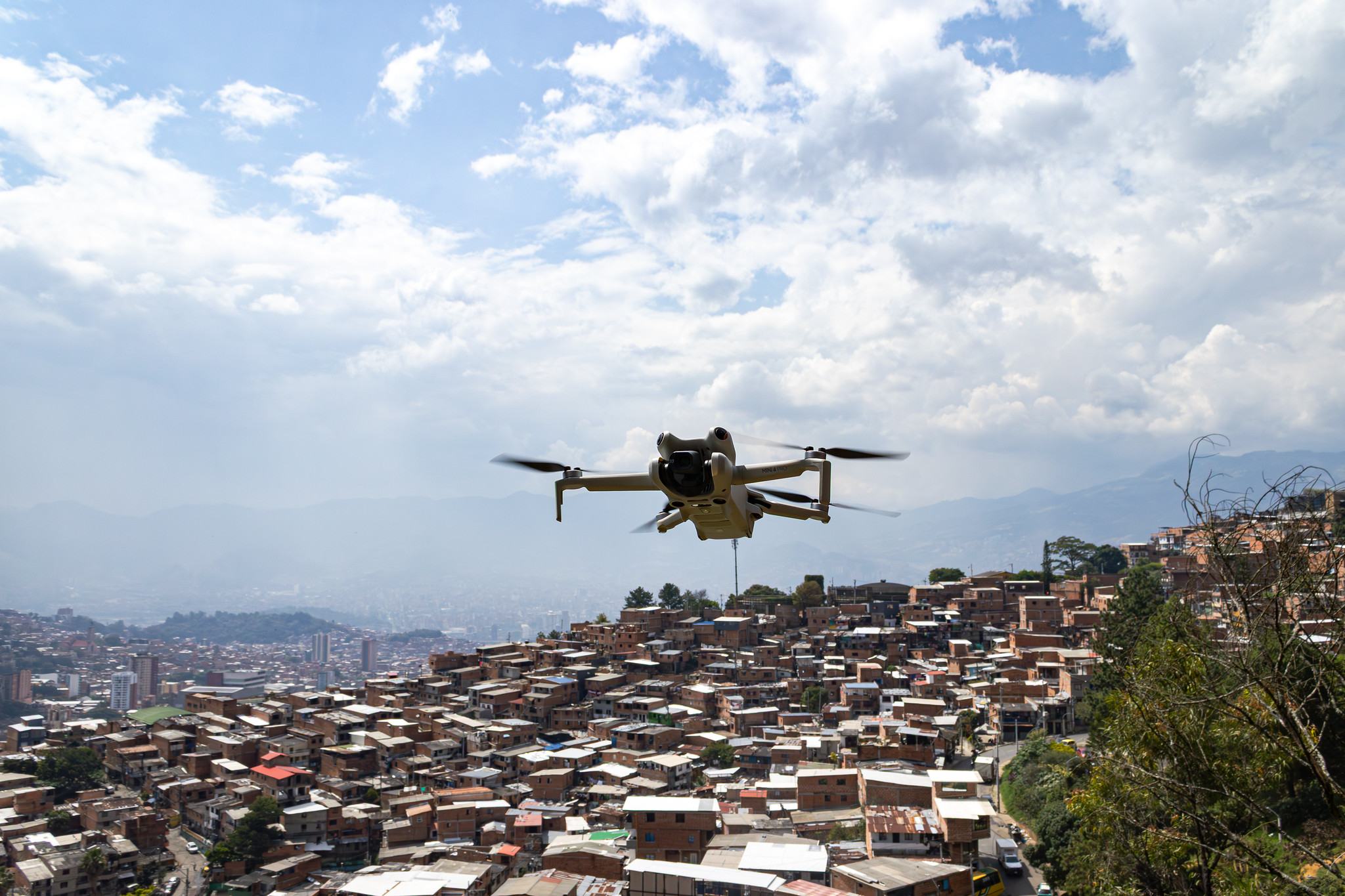
The magnitude 7.4 earthquake struck western Colombia on August 10, centered in Chocó, with severe damage in Quibdó, Cali, Manizales, Pereira, and Armenia. For years, we've been building local capacity in the country, forming community and institutional alliances, and championing the value of anticipation in the face of risk, together with the people who know these territories best. So when the earthquake hit, we were able to answer the call by standing alongside the communities and partners we've long worked to strengthen, putting shared tools, knowledge, and trust to work.
A snapshot of what that shared work looks like so far:
404 people trained since 2023
Mapping projects (both remote and in-person) carried out in 31 municipalities across 15 departments of Colombia.
798 reports on ChatMap
Across 52 municipalities, with at least 137 people reporting actively since the August 10, 2026 earthquake emergency in Chocó.
How ChatMap began mobilizing Colombia to identify damaged buildings
Andrés Gómez Casanova, legal representative of the OSM Colombia Volunteer and Legal Representative and Board Member of AC3, already knew ChatMap from HOT conferences; he'd seen it as a prototype since State of the Map LATAM 2023, but had never seen it in action until now. As soon as the Colombian Geological Service confirmed the 7.4 magnitude centered in Chocó, the OSM Colombia community moved quickly to open a reporting channel in a couple of hours.
The initial goal was simple: massively map collapsed buildings from the population itself, since those are the ones that change the map the most. But other purposes emerged naturally along the way, surfacing damage in areas that media coverage tends to overlook, and making that public-domain data available to institutions now cross-checking it with their own reports.
Today, there are 798 verified reports across 52 municipalities. The usual challenge remains, of course: the mapping effort varies across the whole territory. San José del Palmar, the epicenter, hasn’t received a single report, since the earthquake also knocked out the internet there.
This wasn't the first time ChatMap supported an emergency response. By the time the earthquake struck Colombia, the tool had already proven itself twice. Last June in Venezuela, it helped map emergency shelter camps and assess damage building by building. IOM and MapAction used the data just nine hours after the quake to help direct food aid, to cross-validate and improve their geographical precision, in support of the government and organizations, synced into several geovisualization platforms. In Jamaica, during Hurricane Melissa, two WhatsApp groups brought together more than 3,500 people to report flooding, downed power lines, and road washouts, reports that fed the National Emergency Operations Centre's dashboards in near real time and helped agencies like NERGIST and Jamaica's National Spatial Data Management Branch direct rescue teams and relief supplies to the hardest-hit communities within the first 48 hours, before being folded into the country's official ESRI-based spatial data systems. You can check the map here.
ChatMap exists precisely so that any person, institution, or community can make it their own, and that's exactly what OSM Colombia did. UN Mappers and HOT's technical team, in turn, help strengthen the process and the quality of the data that ultimately reaches UNGRD as a preliminary reference within its own official mapping.
A commitment that started in Colombia before the earthquake
At HOT, we've spent years working on anticipation, both in Colombia and across the rest of the region. The actions presented here for this response build on work underway since 2023, across different themes and sectors, aimed at achieving a faster, more efficient reading of the territory in times of crisis and enabling genuine preparedness policies. Below are a few brief examples of that anticipatory work and the community capacity it has helped build.
Through repeated initiatives, we've trained vulnerable communities and local governments hand in hand with UNGRD. Open Data for Community and Anticipatory Risk Management brought in-person workshops to nine territories between April and July 2026, from Tarapacá (Amazonas) to Medio Atrato (Chocó). 145 people and more than 35 institutions took part, learning to use drones, ChatMap, and OpenStreetMap to map their own territory. In El Castillo, Meta, the community already uses ChatMap to log flood points; in Tarapacá, it now flies the drone autonomously to monitor the Putumayo river.
Further south on the Chocó coast, the community of Siviru has taken ChatMap a step further, turning it into an early warning system. Facing coastal erosion and tsunami risk, community leader Faider Moreno Asprilla and the Siviru Consejo Comunal have kept a WhatsApp reporting chat running for over a year, feeding each new event straight to the municipal government and into a joint mitigation project with UNGRD. It's a clear example of the model working as intended: local knowledge, low-barrier tools, and sustained institutional partnership combining to put risk information back in the hands of the people who live with it.
A similar approach is underway in Amazonian communities: through our project, Participatory Mapping for a Sustainable Amazon, we have developed recurring trainings led by Universidad Autónoma Latinoamericana (UNAULA) with the Cabildo Wairari Atún Sacha, the Inga people, in Santa Rosa, Cauca. It combines drones and OpenStreetMap to strengthen indigenous territorial autonomy against deforestation and illegal mining, a regional effort also active in Bolivia and Guatemala.
The same logic carries into dense urban settings like Medellín, where we've focused on hillsides facing constant landslide risk, compounded by the invisibility of self-built territories. Informal Settlements Mapping in Medellín, a collaboration between HOT and UNAULA's Hillside Mapping School (Escuela de Mapeo de Laderas), run through their Centro de Estudios con Poblaciones, Movilizaciones y Territorios (POMOTE) research center, builds the capacity of self-built neighborhoods in high landslide-risk areas, training local leaders in open cartography. It covers 20 mapping projects, 10 orthophotos, and a roundtable bringing together community, academia, and government. It's also where ChatMap had its first real pilot, back in 2024. You can explore more of it on POMOTE's website.

ChatMap being used to identify risks by communities in Medellín
Detailed mapping of road networks and their conditions is another way of preparing for the effects of climate change, improving the planning that crisis response requires and helping communities recover afterward. It's a further, in-depth capacity-building effort with communities and local governments that we've carried out across multiple locations: Road Network Characterization combines AI, remote mapping, drones, and fieldwork to document rural roads and update aerial imagery historically missing from open data, with support from NASA Lifelines and Twilio. Drone imagery and elevation models help prioritize public investment in roads to manage risk and reduce vulnerability in municipalities across North Cauca, Chocó, and more in progress. All data is published openly on OSM, Mapillary, and OpenAerialMap.
Annual and Regional Mapathons, run with UNGRD and IGAC since 2024, have now had three editions and mapped more than 363,218 buildings. The first edition ended up folding in, unplanned, the response to that year's flooding in Chocó, two years before this earthquake, we'd already faced an emergency there together, with the same people and the same infrastructure. Across three annual mapathons, we've aimed to progressively map the entire Chocó region, along with other highly vulnerable territories.
The new alliance with local organizations, to strengthen them through ChatMap
Through an alliance with Luminate and Imaginarius, the implementing partner of Potencia, Luminate’s institutional resilience program for organizations in Latin America, we're looking to support Colombian organizations to learn ChatMap, contribute to the current damage mapping, and, above all, make the tool their own for their own needs.
Effectively responding to emergencies means strategically coordinating with preparedness efforts. It is essential to understand that advance baseline mapping is a key element that enables rapid action on the day a disaster strikes. There are many ways to identify these areas: through the patterns of recurring disasters; and the multiple vulnerabilities of their populations and geographies.
In addition to base maps, a way to prepare in advance is to ensure that the general public, and the humanitarian sector in the broadest sense as well, is familiar with useful tools beforehand, can adopt them widely, and share their results: doing this together, for everyone, thereby significantly increasing the efficiency of all aid and recovery efforts.
This is what we aim to achieve through ongoing, repeated training in all communities known for their vulnerabilities: how to map their risks and do so regularly, but also to respond immediately by generating crucial data for the response and reconstruction efforts in the wake of an earthquake like the one Colombia recently experienced.
Highly adaptable, easy-to-use tools that can be deployed on a massive scale in the immediate aftermath of the “day after” are the critical way to achieve real crowdsourcing. Finally, coordination among humanitarian actors is key: bring and share!
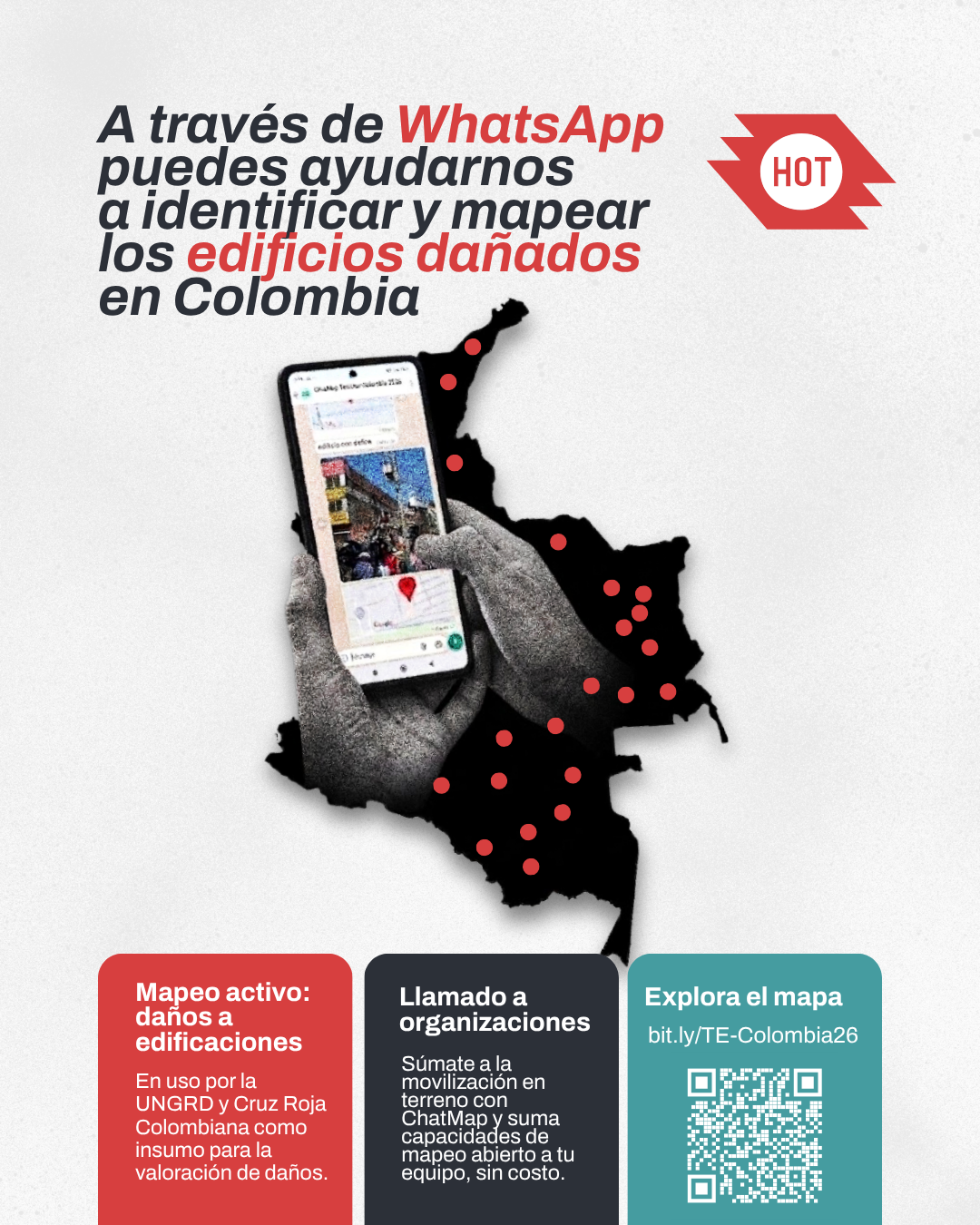
Every report helps build a clearer picture of the damage. Join Colombia's ChatMap group on WhatsApp and help keep the map current for the communities and responders who rely on it.
How to support!
Map on the Tasking Manager
Join the remote mapping effort and help fill in the areas affected by the earthquake.
Map on the Tasking Manager →Report on ChatMap Colombia
Send on-the-ground reports directly from WhatsApp to help track damage in real time.
Report on ChatMap Colombia →Contribute your orthophotos
Have drone imagery of an affected area? Join the Ortofotatón and share it to speed up damage assessment.
Contribute your orthophotos →Spread the word
Share this call with your networks and communities so the damage-mapping effort reaches as many people as possible.
Share




