



More Than Maps: Building Community Through ReMapping Syria
Posted by Sana Alorfahle • Sept. 24, 2026
Every Journey Begins with a Single Opportunity
There are moments in every career that quietly change everything—ones where, only when you look back, you realize that they marked the beginning of a journey you wouldn’t have imagined at the time.
For me, that moment arrived when I joined the ReMapping Syria Project.
One evening, I came across a Facebook post inviting people to join the newly forming OpenStreetMap (OSM) Syria community as a volunteer. Soon after joining, HOT was recruiting Lead Coordinators for its ReMapping Syria initiative. I submitted my application with hope, but also with realistic expectations.
When I received an invitation to an online interview, excitement quickly mixed with nervousness. The interview, however, felt less like an evaluation and more like a conversation. For the first time, I felt that everything I had spent years learning and every challenge I had overcome had prepared me for this.
A few days later, an email arrived with something I had quietly hoped for: an offer to work with HOT on the ReMapping Syria Project. Opening that contract remains one of the happiest moments of my professional life. Not simply because I had found a new role. But because I had been given the opportunity to contribute to something I genuinely believed in.
At the time, I thought I was joining a humanitarian mapping project. Looking back today, I realize I was joining something much larger—an initiative that would grow beyond maps and technology and become the beginning of a community.
And that community would change not only the map of Syria, but also the people who came together to build it.
When a Community Became the Mission
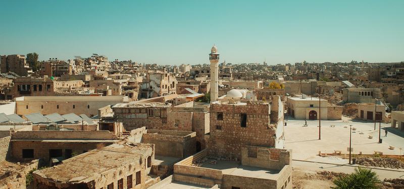
View of Aleppo City, Syria | Photo: mori dad, from Pexels
Over the past few years, Syria has witnessed significant changes in its infrastructure and urban environment. Some areas have expanded, while others have experienced varying degrees of damage. As a result, much of the geographic data available no longer fully reflects the current reality.
Access to up-to-date geospatial data is especially important as Syria moves toward a period of recovery and development, where reliable information will be needed to support these efforts.
In many parts of the world, OSM communities play an important role in continuously updating and improving geographic information through local contributions. Unlike countries where OSM communities have grown over many years, however, Syria was taking some of its early steps toward establishing a sustainable open mapping ecosystem.
Within OSM Syria, people came from different cities and professional backgrounds. Some were humanitarian workers searching for practical tools to support their organizations. Others were students eager to learn something completely new. Some had years of experience in Geographic Information Systems. Others had never edited OpenStreetMap before.
With our diverse backgrounds, from the beginning, we agreed on something that shaped the entire project: this would never become a community where only experts belonged. Everyone had a place.
Instead of creating a traditional training environment where knowledge flowed in only one direction, we wanted to build a space where everyone could contribute. Questions were encouraged. Mistakes were welcomed. Learning was celebrated.
Sometimes participants asked questions that opened new discussions or shared ideas that improved the way we organized future activities. Sometimes the newest member of the community offered a perspective that experienced contributors had never considered. That openness slowly became part of OSM Syria's identity.
Every online meeting, mapathon, and webinar became opportunities for people to know one another, exchange experiences, and perhaps most importantly, to realize they were contributing to something much larger than a single project.
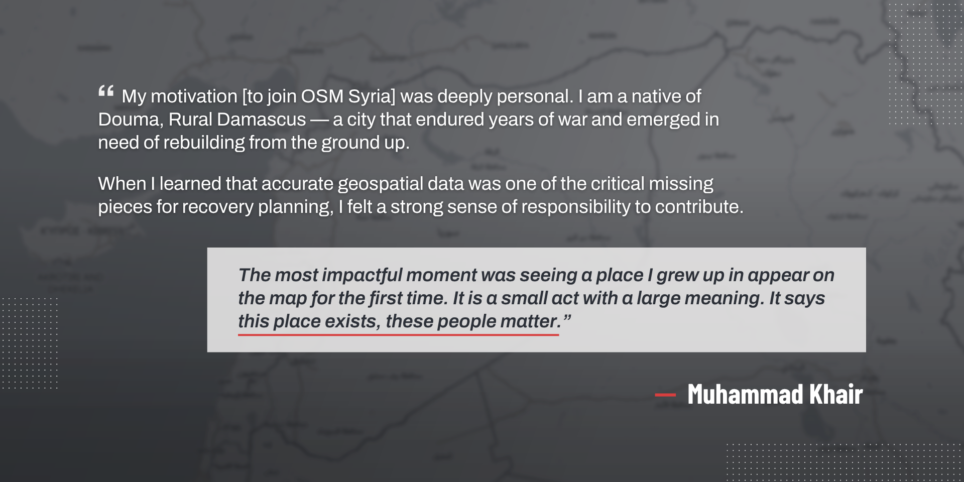
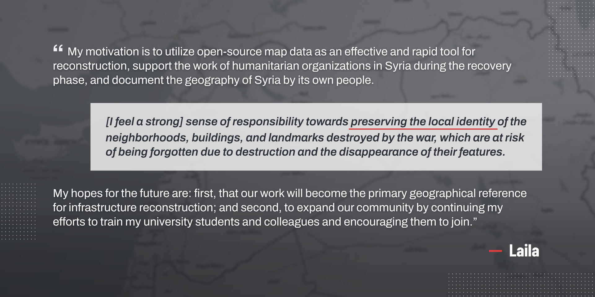
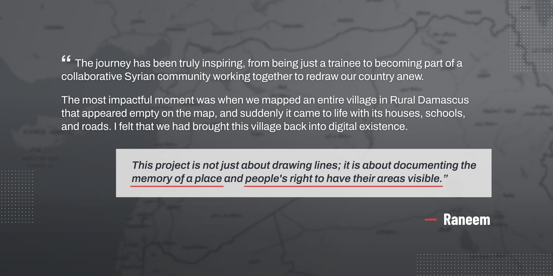
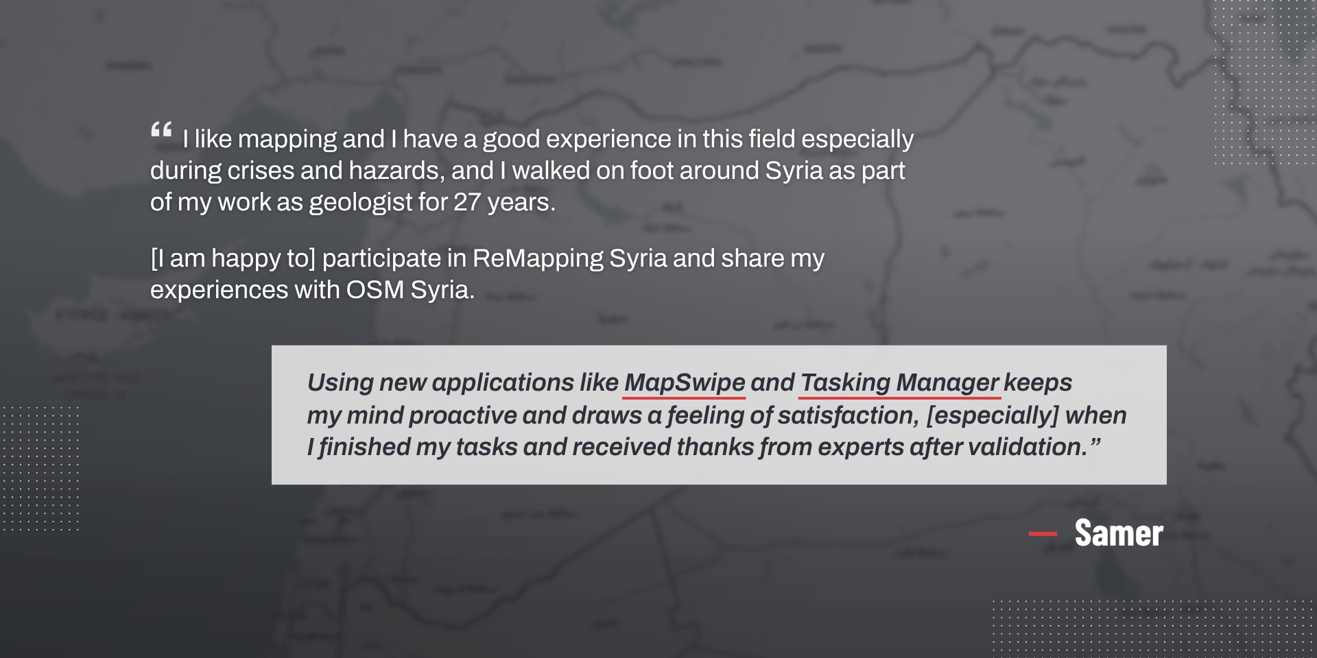
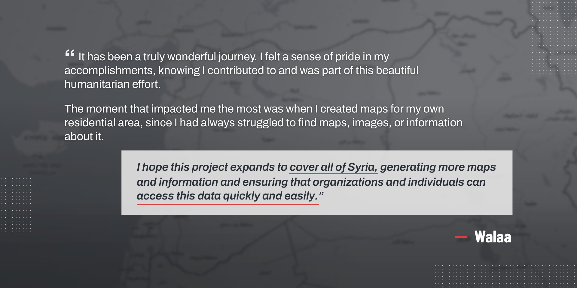
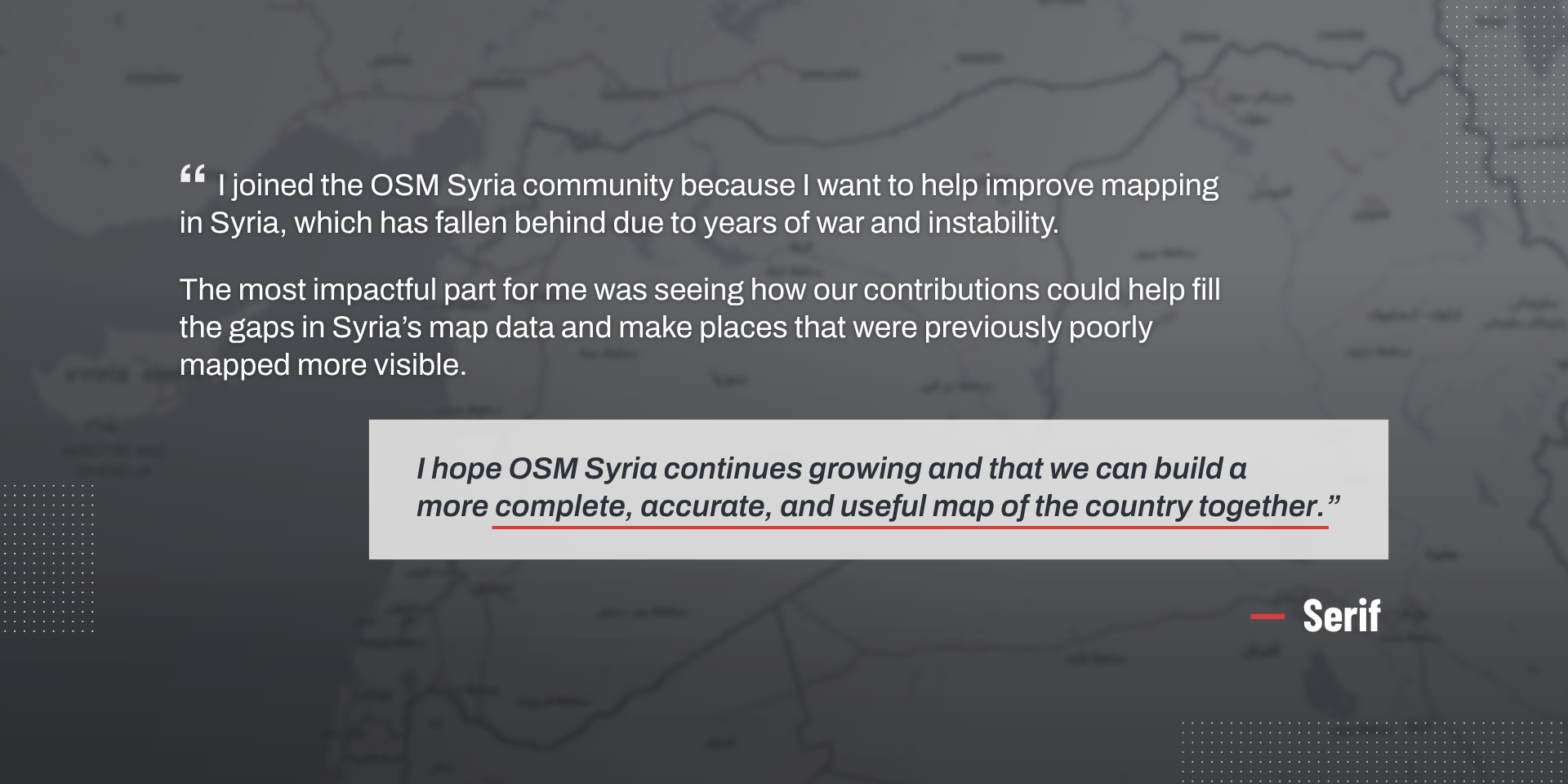
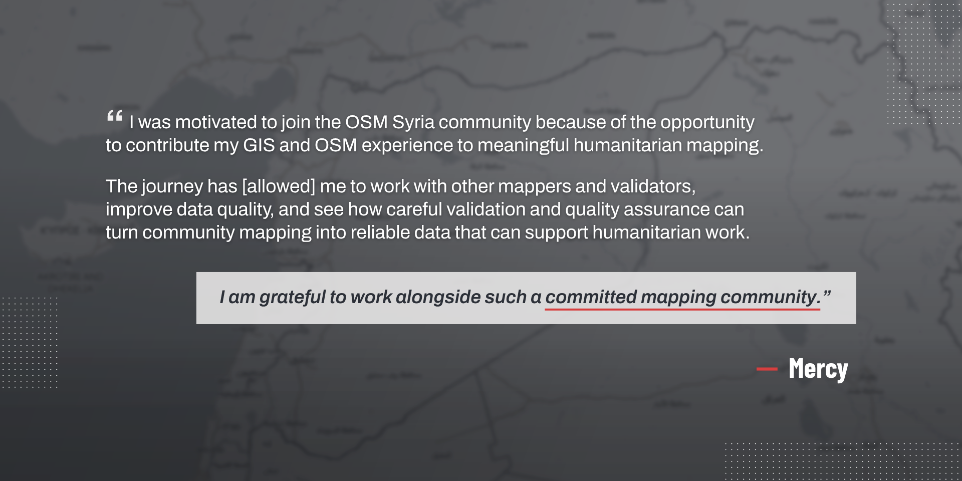
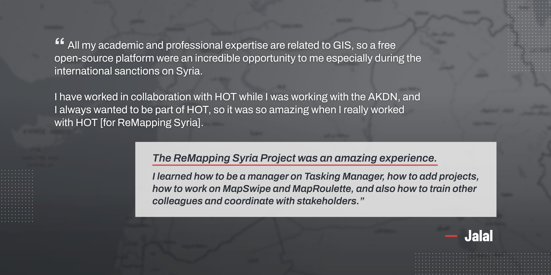
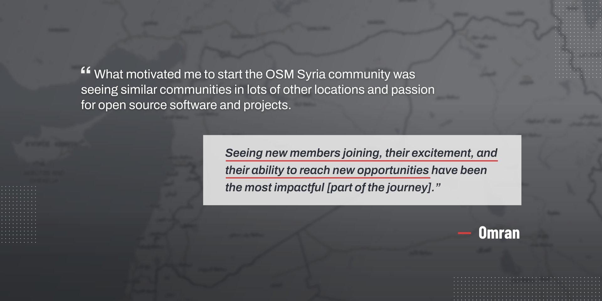
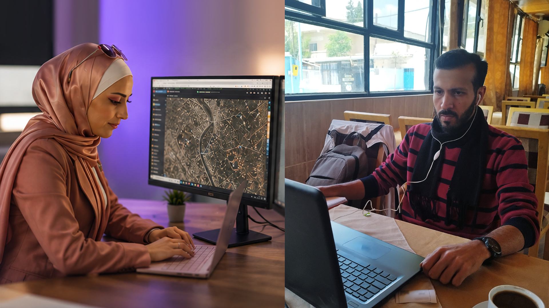
OSM Syria members share their experiences throughout the ReMapping Syria Project.
As the months passed, the community developed its own rhythm. People returned because they wanted to. Volunteers began helping one another without being asked. Knowledge moved freely across the community.
Slowly, OSM Syria began to feel like a home for people who believed that open knowledge could contribute to Syria's future.
The Moment the Maps Became More Than Data
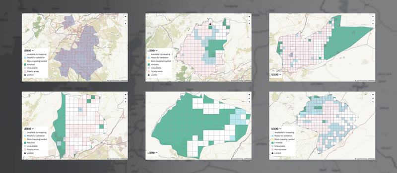
Mapping projects launched through the HOT Tasking Manager, covering Rural Damascus and Aleppo City. Behind every completed tile are volunteers who dedicated their time and skills to improving open geospatial data in Syria.
There is a common assumption about mapping. People often imagine someone sitting quietly behind a computer screen, tracing roads, outlining buildings, and validating satellite imagery.
That assumption is not entirely wrong. We did spend countless hours mapping. We traced roads that had never existed on digital maps. We updated buildings, public facilities, neighbourhoods, and infrastructure. We improved data quality, validated contributions, and solved technical challenges.
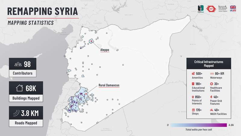
Map visualization: Claudio de los Reyes / Humanitarian OpenStreetMap Team | Layout: Tony Liong / Open Mapping Hub - Asia-Pacific
Yet none of those tasks explains what the project truly became. Because every map we created represented something far greater than geographic information. It represented people.
Behind every school added to OpenStreetMap was a child who would one day return to education. Behind every health facility was a community depending on access to essential services. Behind every road was the possibility of improving humanitarian logistics, emergency response, recovery planning, or simply helping someone better understand the place they call home.
That perspective transformed mapping from a technical activity into something deeply human. It also transformed the volunteers.
Many participants joined the project believing they would simply learn a new digital skill. Instead, they discovered that every contribution carried purpose. One mapped building might seem insignificant on its own. Thousands of carefully mapped features, created collectively by an entire community, could become part of humanitarian decision-making.
At the beginning of the project, many volunteers hesitated before making their first edit. They worried about making mistakes. They checked every small change before pressing "save." Some even questioned whether their contribution would matter.
Months later, those same individuals were helping newcomers, explaining mapping techniques, sharing resources, and encouraging others to participate. Some had evolved into community leaders without ever being formally given that title.
Throughout the project, we invested time in teaching technical skills. Along the way, the community developed something much more valuable: confidence, ownership, and responsibility.
Moments like these reminded me that the true measure of a successful project is not how much work a team completes. It is how many people leave believing they can continue making a difference.
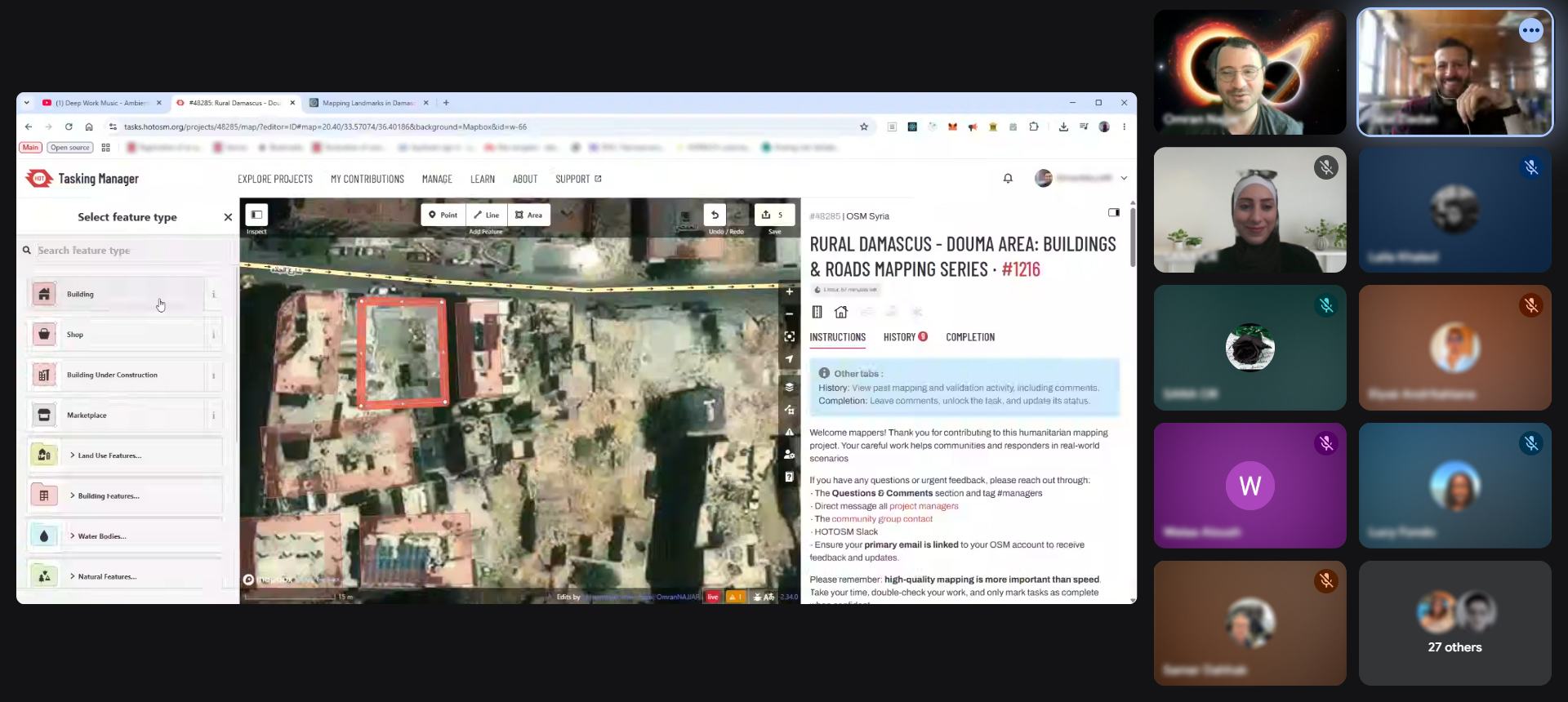
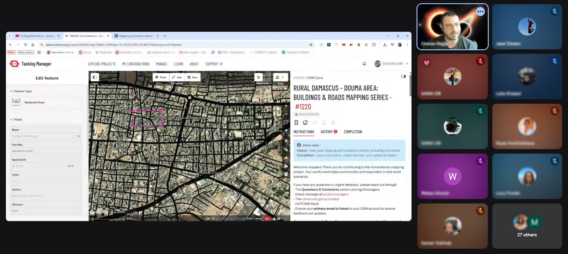
Community members collaborating during one of the ReMapping Syria mapathons, demonstrating how open mapping brings people together across borders.
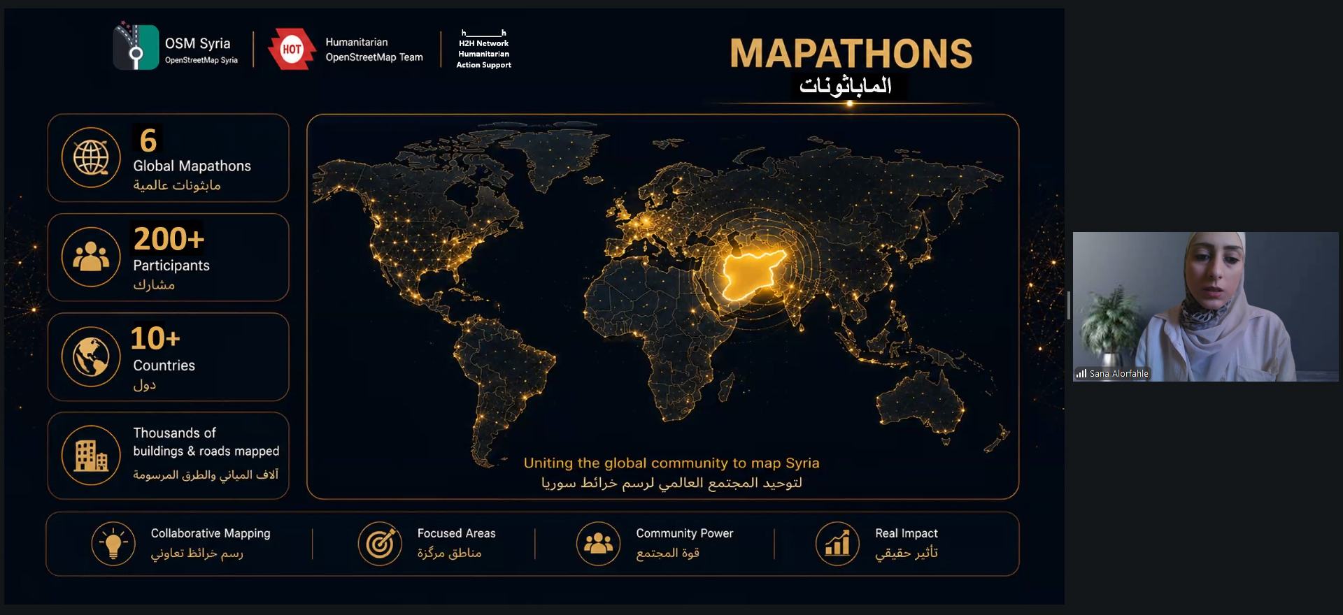
As the community became stronger, our activities also began reaching beyond our own network. We organized webinars that connected local experiences with global humanitarian mapping practices. We hosted both local and international mapathons, bringing together volunteers from different countries around a shared purpose.
A volunteer mapping from another country could contribute to supporting Syrian communities. Likewise, Syrian volunteers became active participants in conversations about humanitarian mapping taking place across the world. For some, this was their first experience being part of an international community united by a shared commitment to humanitarian action.
That sense of belonging mattered. It reminded everyone involved that they were contributing to a movement much larger than a single project or country.
Another important part of our journey involved opening conversations with organizations in Syria working across humanitarian response, recovery, cultural heritage, education, public services, and broader community development efforts. Although different organizations faced different challenges, many shared one common need: reliable, accessible, and openly available geographic information.
Seeing organizations recognize the value of open geographic data was one of the clearest signs that the community we were building had begun extending its impact beyond OpenStreetMap itself.
Beyond the Project: The Legacy We Began to Build
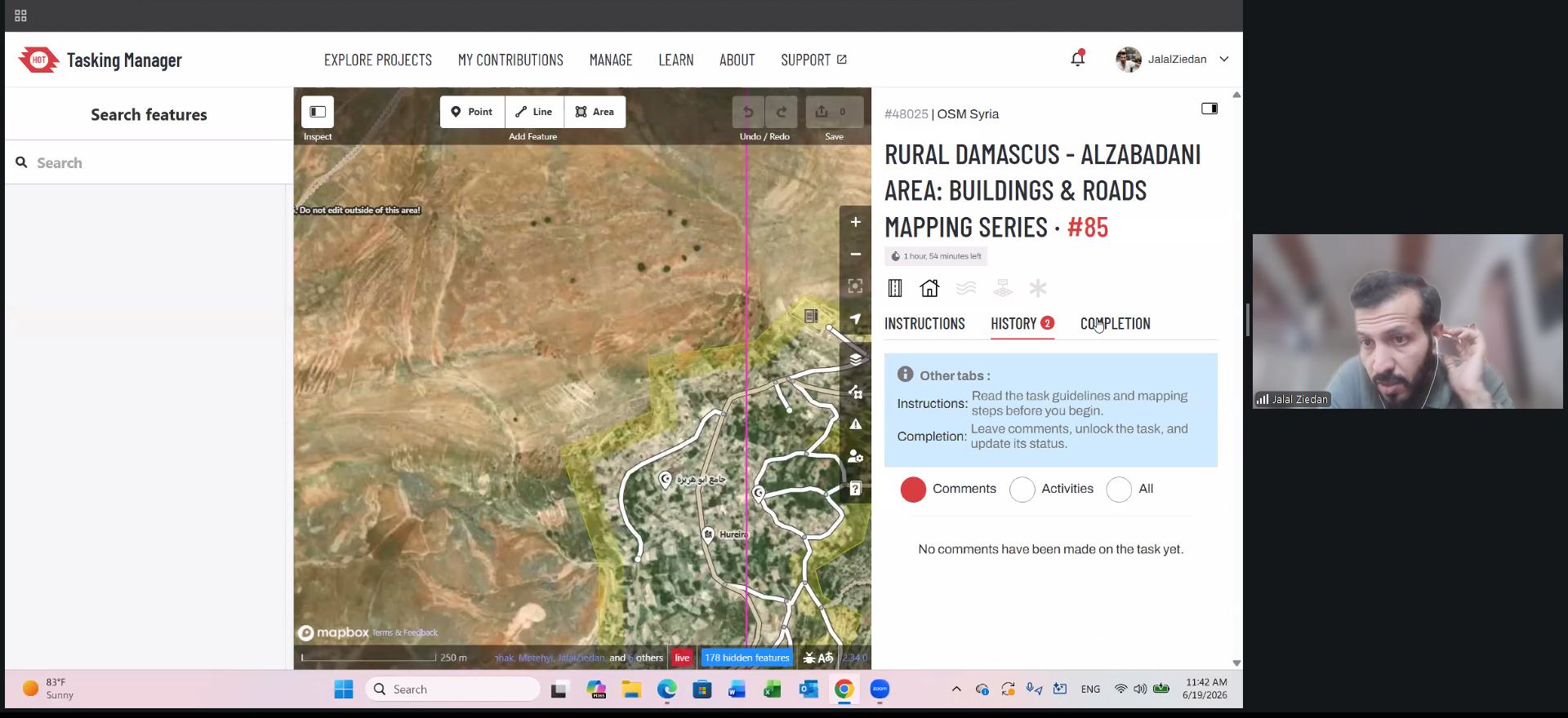
As the project approached its conclusion, we celebrated and reflected on everything we had accomplished together. Although the project was ending, for OSM Syria, it was only the beginning.
During the final weeks of ReMapping Syria, volunteers continued mapping, community discussions continued, and ideas for future initiatives continued emerging. People no longer participated because the project asked them to. They participated because they believed the community was worth sustaining.
One of the greatest lessons this experience taught me is that meaningful humanitarian work is rarely measured only by what is delivered during the lifetime of a project. Its real value becomes visible afterwards.
It appears in the confidence people carry forward, the knowledge that keeps circulating, and the relationships and community that continue growing without waiting for another project to begin.
Maps are never truly finished. Cities continue changing. Communities evolve. New roads appear. Schools reopen. Health facilities expand. Neighbourhoods recover.
OpenStreetMap reflects that reality. It is a living map because it is maintained by living communities. That is why building a community of contributors will always matter more than completing datasets. Datasets become outdated. Communities keep improving them.
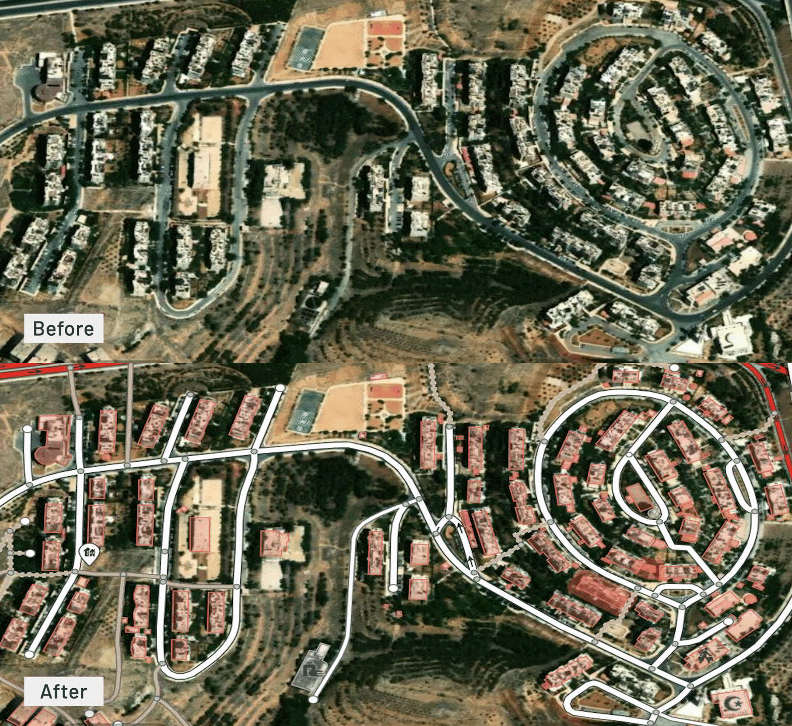
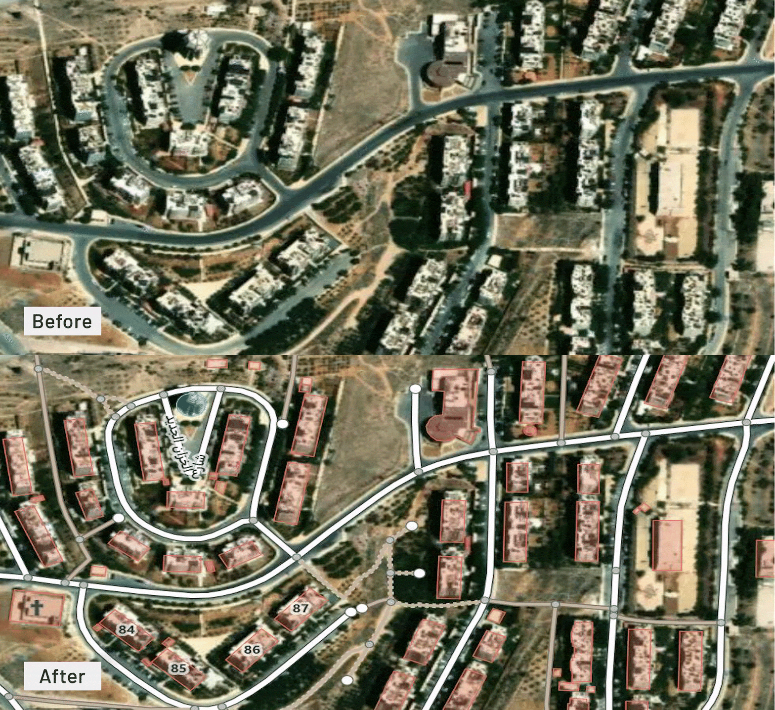
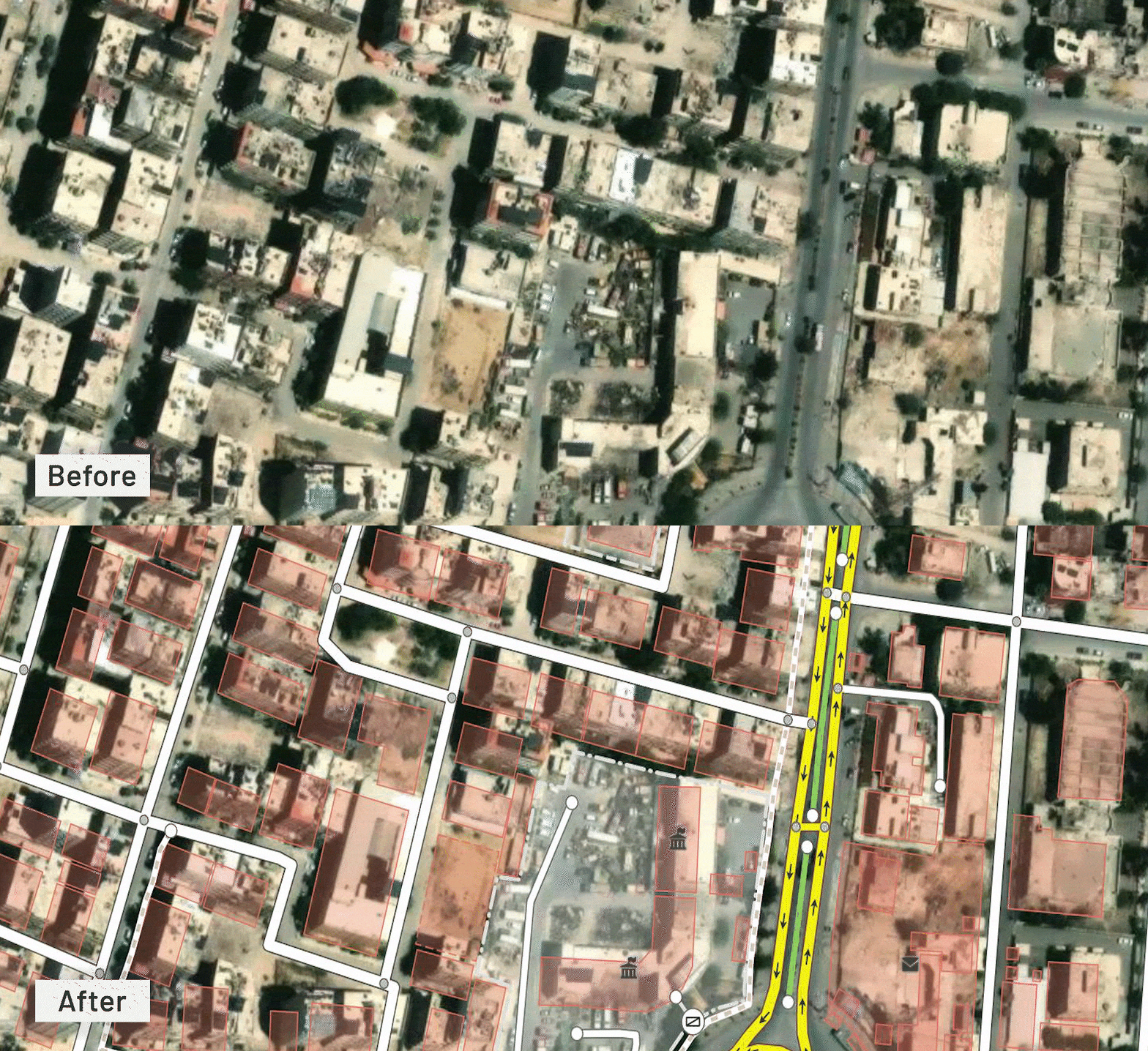
Comparison of buildings and roads mapped in OpenStreetMap before and after the ReMapping Syria Project
The First Chapter of a Much Bigger Story
When people ask me today what the ReMapping Syria Project achieved, I could answer with the number of mapping activities we completed or the thousands of edits made to OpenStreetMap. All of these matter and tell an important part of the story. But they are not the story I remember most.
When I look back, I remember volunteers who arrived at their first training session uncertain whether they could contribute—and who later became confident members. I remember the excitement of participants proudly sharing their first validated contributions. I remember those who stayed behind simply to help someone else.
I remember local organizations discovering that open mapping could become part of their own work. I remember the shift in people’s belief that geographic information is not only something professionals produce, but something that communities can create together.
Those are the moments that stay with me.
This journey also changed me. When I first accepted the role of Lead Coordinator, I believed that my responsibility would revolve around maps and project coordination. By the end of the project, I realized that maps were only the visible outcome of something much deeper.
The real work was building a community where people trusted one another to learn and lead together.
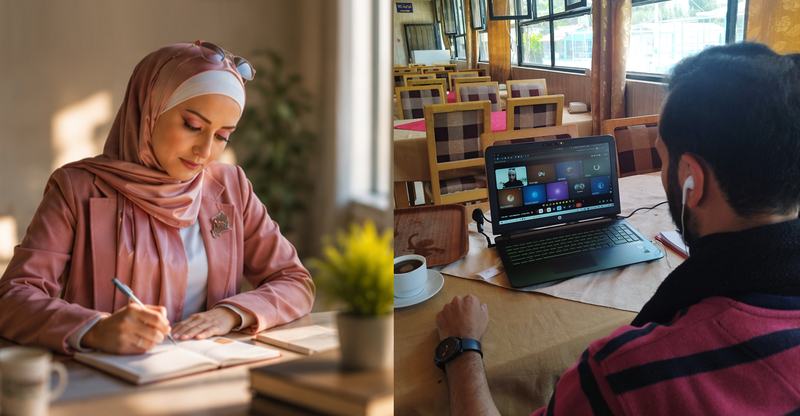
Through the ReMapping Syria Project, the OSM Syria community contributed to strengthening Syria’s open mapping ecosystem through collaborative mapping, learning, and community engagement. | Photo: Jalal Ziedan and Sana Alorfahle; photo on left is enhanced with AI prior to submission
I have always believed that maps can help us better understand our world. This project showed me something even more important: maps also help people understand one another.
Some of the project's most important achievements lived in people rather than reports. You cannot easily measure confidence, calculate trust, or summarize hope in a spreadsheet. Yet these are often the outcomes that create the greatest and most lasting impact.
Looking back, I think about ReMapping Syria as the beginning of a much longer story, shaped by volunteers, local leaders, and every individual who chose to contribute, no matter how small they believed their contribution might be.
We were not simply creating better maps. We were building a stronger community and a generation of contributors that would continue the journey of improving open geospatial data and shaping a more resilient future.
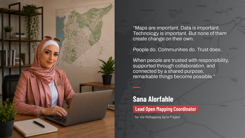
Photo: Jalal Ziedan; enhanced with AI prior to submission
For me, this is not a farewell. It is an invitation to continue learning, mapping, building partnerships, and believing in the value of open knowledge. Most importantly, it is an invitation to continue building a community that belongs to everyone.
Because projects have endings. Communities do not.
Years from now, I hope many will remember that, in a country rebuilding its future, a group of people came together around a simple idea: that knowledge should be open, that maps should serve people, and that communities become stronger when everyone has the opportunity to contribute.
If this project leaves behind that belief, then I believe its greatest achievement was never the map itself. It was the community that chose to keep drawing it.
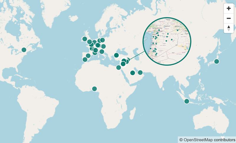
Map showing members of the OSM Syria community around the world
This journey would not have been possible without the dedication of every volunteer, fellow, validator, trainer, and community member who contributed their time, knowledge, and enthusiasm.
I am deeply grateful to HOT for believing in local leadership and for the opportunity to contribute to their humanitarian open mapping initiative in Syria. My sincere appreciation also goes to every organization, institution, and community partner who shared ideas, explored collaboration, and recognized the value of open geospatial data for humanitarian action.
Most importantly, thank you to the OSM Syria community. Your curiosity, generosity, commitment, and willingness to learn from one another transformed this project into something far greater than any workplan could have imagined.
The maps we created will continue evolving. I hope this community will too.
"Every map tells a story. The greatest story of ReMapping Syria was the community that came together to create it."
About the Author
Sana Alorfahle is a GIS and humanitarian mapping professional and the Lead Coordinator for the ReMapping Syria Project. With a background in cartography, geographic information systems, and remote sensing, she has experience in geospatial data management, mapping, training, and community coordination. Through her work with HOT, Sana leads OSM Syria initiatives, supports and trains local contributors, and helps strengthen the use of open geospatial data to support humanitarian mapping and build sustainable local mapping capacity in Syria.
 The ReMapping Syria Project was funded by the H2H Network’s H2H Fund, which was supported by UK aid - from the British people.
Share




