





Portal
Your gateway to all of HOT's tech suite and more!
The Portal is the place where all of HOT's tools converge. Users can bring all their mapping projects together in one place to create & share geospatial data.
A centralized platform
Use the same account to connect projects between DroneTM, OAM, Tasking Manager, and more!
Follow the full workflow
Follow the data cycle: imagery acquisition, manual and AI tracing, field mapping, visualization, exports and more.
Create a mapping plan
Set your goals and organize projects around them.
How does it work?
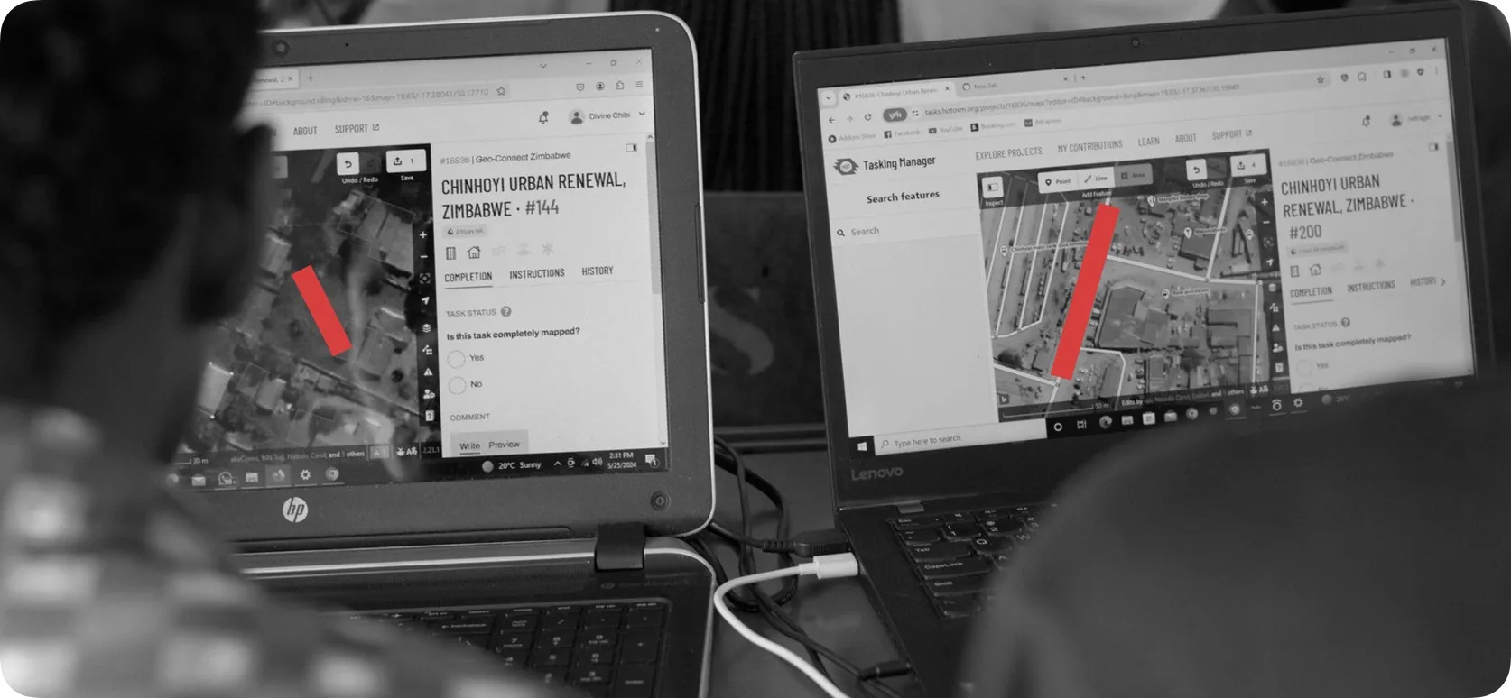
Create an account or log in to organize and manage all of our mapping projects connected to HOT's tech suite.
Create & publish imagery:
- Drone image capture with DroneTM
- Image publishing with OpenAerialMap
Remote mapping:
- Collaborative mapping with Tasking Manager
- AI-assisted mapping with fAIr
Field mapping:
- Chat mapping with ChatMap
- Organized form mapping with Field Tasking Manager
Data:
- Create maps and visualizations with uMap
- Export OSM Data with Export Tool
+ Create a mapping plan or take a course!


