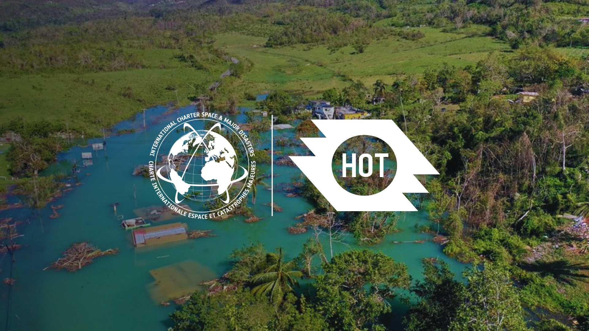
HOT Joins The International Charter ‘Space and Major Disasters’ as a value added provider
Posted by Sam Colchester, Pete Masters, Céline Jacquin, Omowonuola Akintola • June 17, 2026
The Humanitarian OpenStreetMap Team (HOT) is now able to package and share highly relevant OpenStreetMap data with disaster management authorities and humanitarian organizations that make up The International Charter ‘Space and Major Disasters’ (The Charter), furthering the case for open data use in disaster response.
In 2024, HOT joined The Charter as a Value Adding organization. ‘Value Adding’ relates to HOT’s role in sharing products with The Charter which are derived from aerial imagery, such as building footprints or digitized roads.
The Charter is an international collaboration among space agencies and space operators founded in 2000. It enables satellite-based information to be provided to disaster management authorities and humanitarian organizations in order to support immediate responses to major disasters. It also provides a mechanism for rapid satellite tasking (i.e. targeted image requests) for sudden emergencies. It has gained recognition as an essential tool for global disaster response and has been widely utilized in various crisis situations.
Since becoming a value-adder of the Charter, HOT has been involved in two activations, Mokwa Floods in Nigeria and Hurricane Melissa in Cuba. In both instances, HOT shared OpenStreetMap vector datasets with the actors involved in each activation. The datasets were also directly available on OpenStreetMap; however, Charter access allowed HOT to package and easily share specific features clipped to the disaster area of interest, allowing for easy access by the disaster management teams involved in the response effort.
The OSM building footprints with damage tags from the Nigeria Mokwa Floods activation are also viewable and available via uMap (see below).
National disaster management teams, universities, humanitarian organizations, United Nations organizations, and other value added providers involved in Charter activations generate and share satellite-derived disaster extents to the Charter portal, such a flood or fire extents, which can support HOT in better defining disaster areas of interest in which to focus coordinated mapping efforts via Tasking Manager or MapSwipe. Actors in Charter activations gain access to disaster-specific satellite imagery, however, its licensing currently prohibits generation of OSM data unless the imagery is also released elsewhere under a compatible license — such as Vantor imagery through its Open Data Program.
Through ongoing engagement with The Charter, HOT aims to continue to promote the use of open collaborative data among government actors and humanitarian organizations in order to:
- Deepen the impact of the efforts of the humanitarian mapping community
- Strengthen uptake and recognition of rapidly generated open data within The Charter membership
If you are interested in hearing more about this please feel free to contact: sam.colchester@hotosm.org
Share
