MapEdu Contest 2025: Anyone Can Be Part of Change
Posted by Emilia Hernández • Jan. 13, 2026
Origins
The Latin America Open Mapping Educational Projects Competition is part of the Open Mapping for All program led by the Humanitarian OpenStreetMap Team. The program promotes the use of open mapping tools in schools to foster active learning, community participation, and the training of students and teachers in creating and contributing open geospatial data to address real-world problems. One of the guiding principles of the initiative remains that no prior knowledge or experience is required. Anyone with curiosity and commitment can learn and actively contribute through open mapping.
In its first edition, MapEdu 2024 brought together participants from five Latin American countries, with projects that are transforming their communities, inspiring other students, and generating tangible impact. The initiative has positioned children and adolescents as active contributors to citizen science and as protagonists of change in their own communities.
MapEdu 2025
This year, 38 school projects from Brazil, Colombia, Peru, Ecuador, and Argentina took part in the competition, with notable participation from schools in rural areas. The 2025 edition featured three main categories: Science and Technology, Social Development, and Climate Change, as well as two special awards for Creativity and Social Impact.
Each category recognized three winners: First Place ($1,000 USD), Second Place ($500 USD), and Third Place ($250 USD).
Based on feedback from previous editions, the 2025 process offered participants more time to develop their projects, a virtual platform with learning resources on open mapping tools, clearer guidelines, and ongoing support to address questions throughout the process.
The HOT Learning Center is a training space that provides capacity development, skills strengthening, and an accreditation pathway for individuals and organizations.
Foundational knowledge in open mapping can be acquired online, in line with HOT’s values, freeing up in-person time for hands-on activities and collaborative problem-solving tailored to each context and project.
Through a wide range of courses and learning pathways, the Center aims to attract new people to mapping and expand the skills of those with prior experience, offering training from introductory to advanced levels and consistently connecting mapping with real-world outcomes and impact.

Winners
Science and Technology
First Place
First place was awarded to “Heatmaps of Environmental Variables in Bogotá’s Peri-urban Ecosystems” by KAI-LAB from Gimnasio Kaiporé in Colombia. In this project, students collected and processed relative humidity data to produce heatmaps that reveal environmental patterns in peri-urban ecosystems.
Second Place
“Mapping Access to Safe Drinking Water” by Institución Educativa Rafael Uribe Uribe in Pore, Casanare, Colombia, is a map that analyzes students’ access to drinking water by visualizing households without in-home water treatment, supporting strategies for healthy hydration habits and disease prevention.
Third Place
Third place was awarded to “Participatory Mapping of Lichens in Protected Areas of Jujuy” by WIKI Ecology in Argentina. Students developed a participatory monitoring system using lichens as bioindicators of climate change across different ecoregions of the province. The presence, absence, or alteration of lichens provides critical insights into air quality and environmental changes driven by global warming.
Social Development
First Place
First place in this category was awarded to Unidad Educativa Jaime Roldós Aguilera in Santa Isabel, Ecuador. Through a “Mapping of Social Needs and Challenges”, students identified, documented, and analyzed issues affecting their community, highlighting situations of exclusion such as elderly abandonment. The project prompted an institutional response that is already improving local living conditions.
Second Place
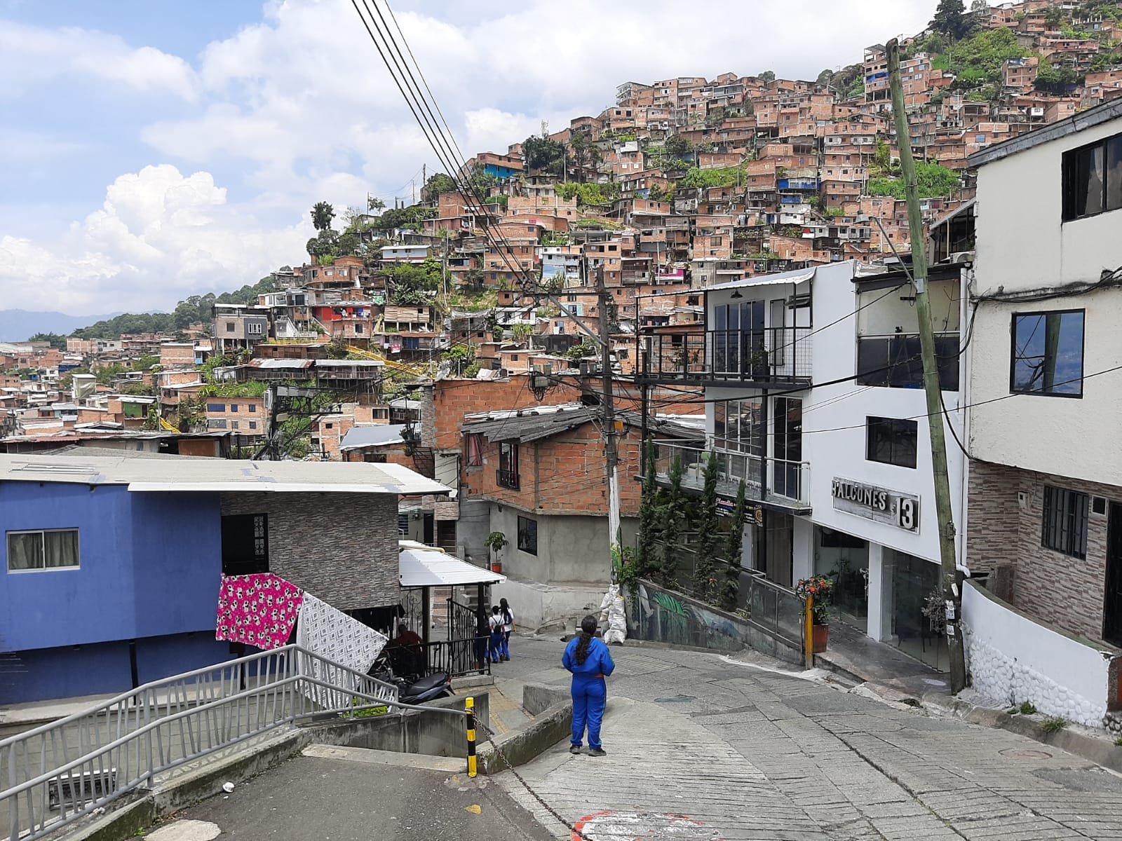
Second place went to “School and Territory: Urban–Rural Borders, Inequality, and Possibilities” by Institución Educativa Joaquín Vallejo Arbelaez in Medellín, Colombia. Students mapped neighborhoods in the upper areas of Comuna 8, identifying issues such as inadequate waste management, limited accessibility, lack of spaces for children and youth, poor road conditions, and climate risk factors that expose structural inequalities within the city.
Third Place
Students from GAL School in Cusco, Peru were awarded with their project “Mapping Quillahuata: Paths, Culture, and the Future”. This map documents pathways, services, natural resources, cultural heritage, and territorial needs, creating a strategic tool to support road improvements, optimize basic services, and design preventive measures for natural hazards.
Climate Change
First Place
First place in this category was awarded to “Application of the Natural Hazards Risk Map” by Unidad Educativa Jaime Roldós Aguilera in Santa Isabel, Ecuador. This initiative identifies areas at risk from floods, landslides, and earthquakes, generating life-saving information for the community.
Second Place
The project “Two Sides of the Same Coin” by GAL School in Cusco, Peru, presents a dual perspective through two initiatives: one mapping areas affected by forest fires, and another establishing a network of observation points for hummingbirds in Cusco and the Sacred Valley. This dual approach helps communities understand the scale of environmental threats while also recognizing opportunities for conservation and regenerative development.
Third Place
“Cooking with Science: Sustainable Recipes for a Better Future” by the students from Centro Provisional de Enseñanza Media N°57 in Neuquén, Argentina, is a recipe book that promotes sustainable and environmentally friendly cooking practices, alongside a map of local producers and an analysis of emissions generated by food transportation in their community.
Special Awards
Creativity Award
The Creativity Award was presented to “Chronos Graphei. Georeferencing Urban Tribes and Political Art in Central Bogotá” by KAI-LAB from Gimnasio Kaiporé in Colombia. This project documents and preserves the visual and social memory represented in graffiti and murals in La Candelaria, recognized for their cultural, political, and ancestral value. The resulting map amplifies the voices of youth, ethnic communities, and social movements that safeguard Bogotá’s street art heritage.
Impact Award
The Impact Award was granted to “Collaborative Mapping of the Water Crisis in the Vereda Granizal” by Tecnológico de Antioquia in Colombia. The project addresses the water crisis in Granizal–Altos de Oriente by documenting community demands through an assessment of impacts, availability, and risks related to water access. The resulting map serves as a strategic tool for policy advocacy, solution planning, and resource mobilization to respond to an urgent public health and social emergency affecting more than 30,000 people.
Children and Youth as Social Actors
After its second edition, MapEdu has succeeded in empowering young people as agents of change; capable of critically interpreting their realities, responding to community needs, and contributing to the conservation of their environments.
We extend our congratulations to all coordinators, teachers, and students who took part in the initiative. Through their engagement with open mapping tools, they are helping transform the places they inhabit into more sustainable, possible, and hopeful futures.
Through open mapping, children and adolescents move beyond learning technical skills to actively shaping decisions about their own territories.
Share
