From Local Knowledge to Replicable Models: The IAI-Supported Community Forest Monitoring Project in San José Poaquil
Posted by Carlos Duarte, Juan Arellano Valdivia, Emilia Hernández, Mar Marín Villagrana • Feb. 5, 2026
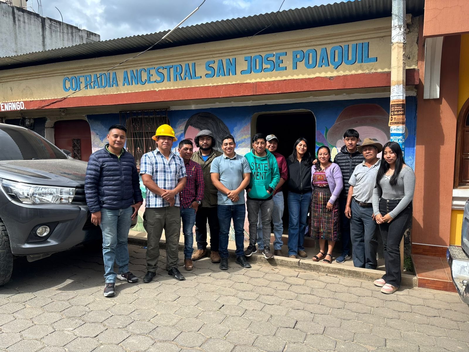
A project rooted in the territory
This effort originates from the OpenCities Guatemala project in San José Poaquil, a mapping and capacity-building initiative that supported Indigenous communities in generating and using their own geographic data for forest conservation and sustainable management. Building on this community-strengthening process, and with support from the Inter-American Institute for Global Change Research (IAI) under the Participatory Mapping for a Sustainable Amazon program, HOT’s Open Mapping Network, supported the community leaders and residents of the Chimaltenango community in developing skills to produce comprehensive data about their own territory. As a result, the community formulated plans for community-level forest conservation and sustainable restoration.
The central objective of the Forest Monitoring Project is to consolidate, strengthen, and scale the results previously achieved by the OpenCities Project by establishing a replicable model of community forest management supported by geographic data. Specifically, the project seeks to:
Project Goals
- Reorganize the community of practice, encouraging more community members to join efforts to use open mapping technologies for the management and conservation of the community forest, thereby promoting long-term sustainability.
- Strengthen and renew the commitment and empowerment of the ancestral authorities of San José Poaquil, ensuring their support and engagement with the established community of practice, which facilitates the co-creation of data, information, and knowledge, as well as the preservation of forest-related knowledge and ancestral management systems.
- Strengthen the concept of community-level sustainable forest management supported by geographic data, establishing it as a replicable model for other Indigenous communities in Guatemala responsible for managing and conserving communal forests.
Building on what the community has already created
In conversation with Carlos Duarte, the project lead, it is noted that since the first field visit, significant progress has been made in the conservation of San José Poaquil’s forests, driven by strong community commitment and sustained technical support.
We secured approval to implement the project and the full commitment and participation of the ancestral authorities of San José Poaquil, the Indigenous Mayor’s Office and the Ancestral Brotherhood. This ensures long-term sustainability and the co-creation of knowledge about the forest and its ancestral management systems.
Since the beginning of the project, a series of essential technical workshops have been delivered, strengthening a Community of Practice led by local youth, who are learning to:
- use drones for monitoring community forests
- process drone imagery to create digital maps, using tools such as Drone Deploy
- analyze maps to identify threats to forests
- use open mapping technologies, including mobile applications, satellite imagery, and the global map known as OpenStreetMap.

The Mapping Continues...
Collaboratively, two key mapping campaigns were designed: a remote campaign focused on collecting Points of Interest (POIs) to improve the map of the municipal center of San José Poaquil, and a field mapping campaign to georeference the communal land known as “Motagua” and document its conservation values.
In addition, communities in San José Poaquil have been strengthened through the provision of technological equipment, with the aim of permanently enhancing the monitoring capacities of the Ancestral Brotherhood.
Progress continues, and in the coming months a new mapping phase will begin. We expect that, as collaborative forest management, supported by open geographic data and community ancestral knowledge, continues to consolidate, these mechanisms will be strengthened as a replicable model for other Indigenous communities in Guatemala responsible for forest management and conservation.
Share
