Strengthening Disaster Preparedness In Muzarabani Region, Zimbabwe Through Open Mapping
Posted by Tabby Nyanjui, Pauline Omagwa • April 2, 2026
This initiative impact story is part of the this Case Studies Collection on Open Mapping for Disaster Risk Reduction, which is the third Collection covering the Humanitarian OpenStreetMap Team's (HOT) Program. Read more about the case studies here
The Lower Muzarabani District in Zimbabwe is highly vulnerable to recurring floods. The district's basaltic cracking soils and alluvial terrain with poor drainage cause flooding during the rainy season. Zimbabwe has experienced multiple severe cyclones in recent years. Cyclone Idai in March 2019 left a lasting impact on livelihoods and infrastructure across the country (M. Sibanda, 2019).
When floods arrive, residents have limited ways to protect themselves. Surveys found that 67% of residents were sometimes unable to get help during floods because their communities became inaccessible (Ncube-Phiri, Mudavanhu & Mucherera, 2014).()
Local government units and NGOs working on disaster preparedness connected these challenges to the lack of geodata for planning and implementing disaster risk reduction before, during, and after crises. One of the NGOs working on disaster preparedness is , Caritas Zimbabwe. They partner with District-level, ward-level, and village Civil Protection Committees to work on disaster preparedness across the country.
Recognizing the need for reliable and up-to-date maps to support disaster preparedness work, Caritas and district officials, with support of HOT, set out to train stakeholders on open mapping tools and produce interactive maps that would help the district identify vulnerable areas and implement targeted disaster preparations (Zimbabwe Anticipatory Response Report, 2023).
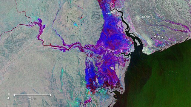
Copernicus Sentinel-1 satellite image showing flood waters beginning to recede in Zimbabwe during Cyclone Idai, March 2019. Photo: European Space Agency
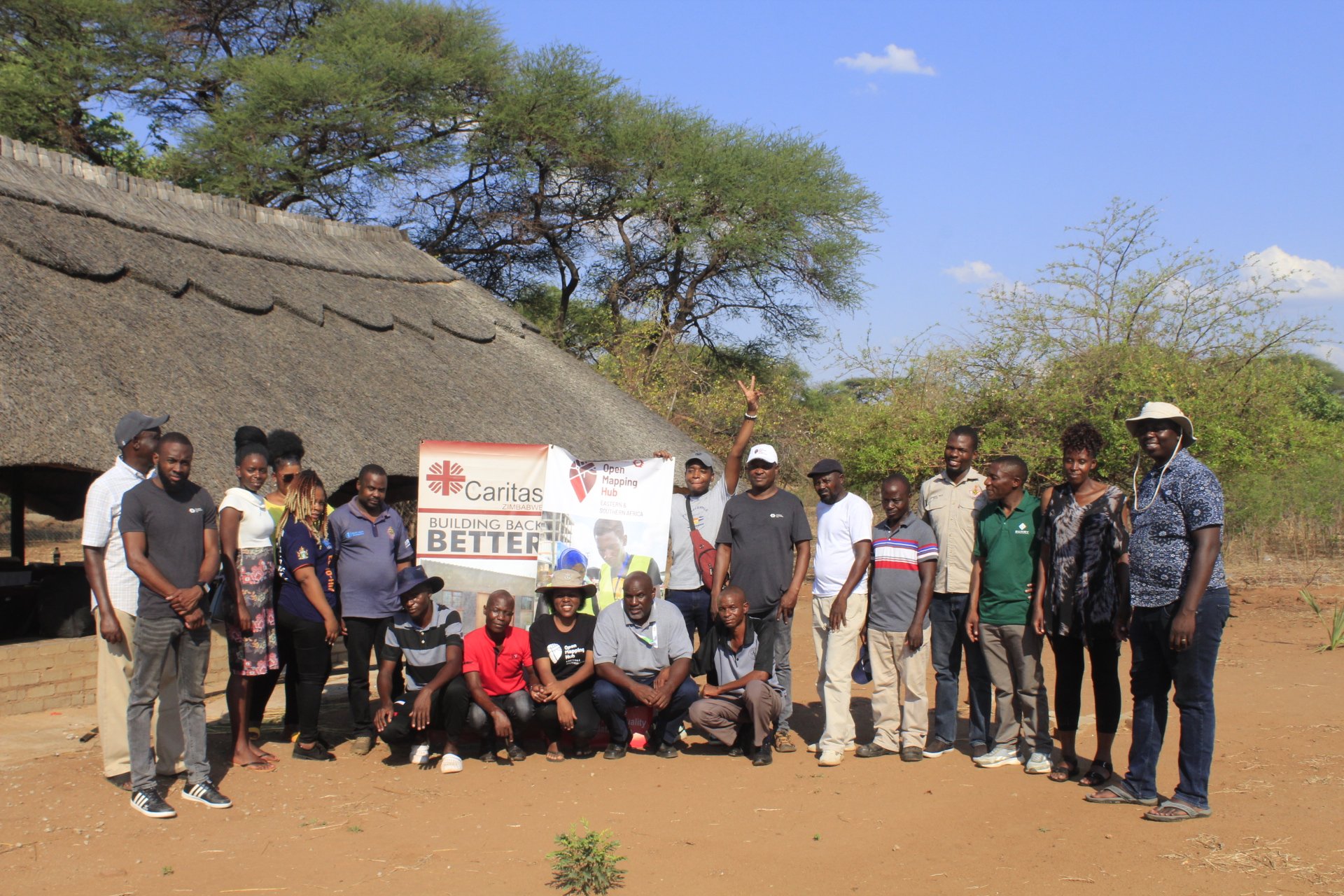
The Humanitarian OpenStreetMap Team (HOT) and Caritas Zimbabwe partnered together to implement the Zimbabwe Anticipatory Response Mapping project in November 2022.
The project began with stakeholder consultation, during which HOT convened a workshop with 28 participants from disaster organizations, government departments, and humanitarian agencies. The workshop identified gaps in geospatial data and disaster preparedness. Following consultations and scoping, HOT and Caritas Zimbabwe launched the Zimbabwe Anticipatory Response mapping project in Muzarabani District, the most flood-prone district in the country. HOT and Caritas developed a schema outlining what data mattered most for disaster response, how to collect it, and how to assess it. This included data in schools, health facilities, water sources, sanitation facilities, evacuation routes, and flood-prone roads.
For each location, they developed specific questions to assess its condition and capacity. They asked about the roof type, wall type, and toilet elevations for the sanitation facilities. They asked how many toilet stances each facility had. These details would answer questions such as whether a school could function as an evacuation center.
ODK served as the primary data collection tool, and Mapillary 360° cameras were used to document flood-prone road sections.
In early 2023, a one-day training workshop was held for 12 participants from Caritas, including representatives from district development offices, the Ministry of Agriculture, the Ministry of Public Works, the Ministry of Health, and the Zimbabwe Red Cross. Over five days, this group mapped five wards, Chadereka, Chiwenga, Dambakurima, Hoya, and Kaerezi, using motorbikes to reach remote areas. They used 360° cameras to document road conditions in Chadereka ward and the major river confluence in Chiwenga ward.
"The mapping project is an eye-opener. The application of technology in fieldwork lessens the job, and actual information is harvested as the field officer is being tracked and pictures are taken as evidence of work done. This project trained us on disaster management. As a department, we are now able to prepare for disaster management.” - Whisper Mandota, Ministry of Health and Child Care
In August 2023, the team of 12 completed mapping of five wards in Muzarabani District, documenting geospatial data across 14 flood-prone communities: Muringazuva, Rudziva, Madondo, Marara, Bere, Piano, Gorobha, Kabaira, Chinyoka, Chamakore, Chareka, Bananga, and Mutero.
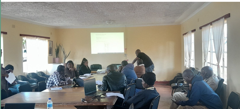
A map data dissemination workshop sharing project findings with in Muzambarani, Zimbabwe.
How can Change Last
Kairezi Ward's Multi-Hazard Contingency Plan anchors the sustainability of the mapping work. Deputy District Development Coordinator Patience Chipomho and Caritas Zimbabwe have embedded the geospatial data into official disaster preparedness plans that guide planning decisions. The plan identifies the mapped facilities, hazard zones, and how Ward Civil Protection Committees, village committees, and government departments coordinate before, during, and after floods. By integrating the maps into an institutional document rather than a standalone project, the work becomes part of the ward's ongoing disaster risk management.
Caritas Zimbabwe plans to expand this approach beyond Kairezi Ward. Staff trained on ODK and OsmAnd have the skills to conduct participatory GIS workshops in communities, return during the rainy season to update flood-prone road data with 360° cameras, and lead new mapping exercises as conditions change.
The contingency plan is designed for annual review and updates, which require Caritas to remain in Muzarabani and for district authorities to commit resources to implementation. With continued institutional support from Caritas and funding partnerships, the mapped data will be updated as the ward experiences new hazards and undertakes infrastructure improvements.

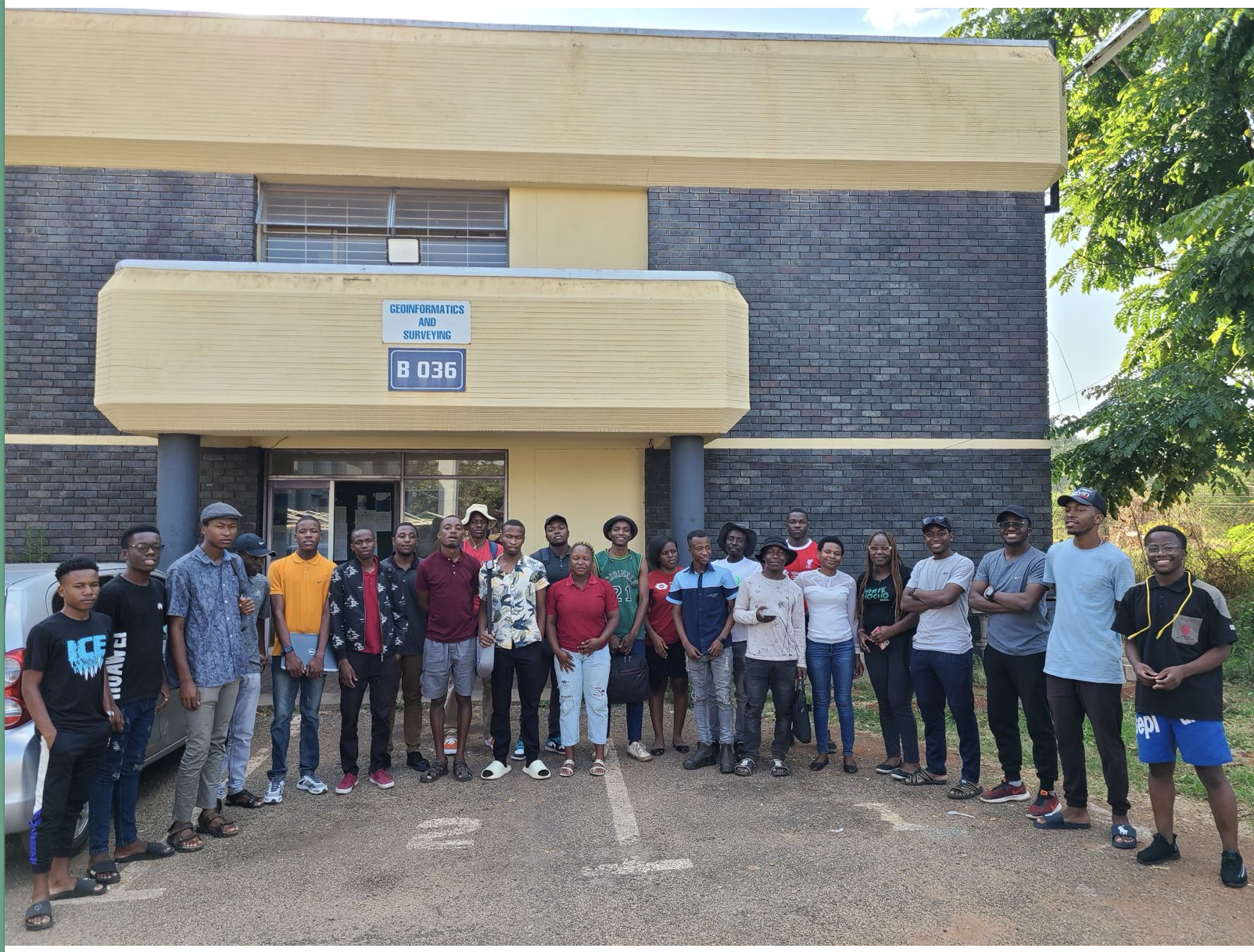
Mappers from the University of Zimbabwe who supported the project through remote mapping
Insights for the Future
The Zimbabwe Anticipatory Response mapping project in Muzarabani demonstrates that participatory geospatial data, when embedded into official planning documents, can anchor disaster preparedness work across government agencies and communities. The project revealed an important assumption: communities require official government endorsement to build trust. Rather than being created intermittently from standalone mapping exercises, data upkeep and use becomes a core part of institutional processes. This integration, in which maps are referenced in official contingency plans and guide how government and humanitarian organizations coordinate, enables mapping to influence preparedness decisions.
Success depends on institutional adoption and resource commitment to implementation. The critical gap between mapping and impact is resources. Translating that data into behavior change, where communities know evacuation routes, officials prioritize repairs based on documented gaps, and early warning systems operate from mapped locations, requires sustained funding beyond the initial mapping phase. With continued investment, Kairezi Ward's foundation can strengthen disaster preparedness and build community-informed governance. Without it, the maps risk becoming an accurate but unused documentation of what could have been addressed.
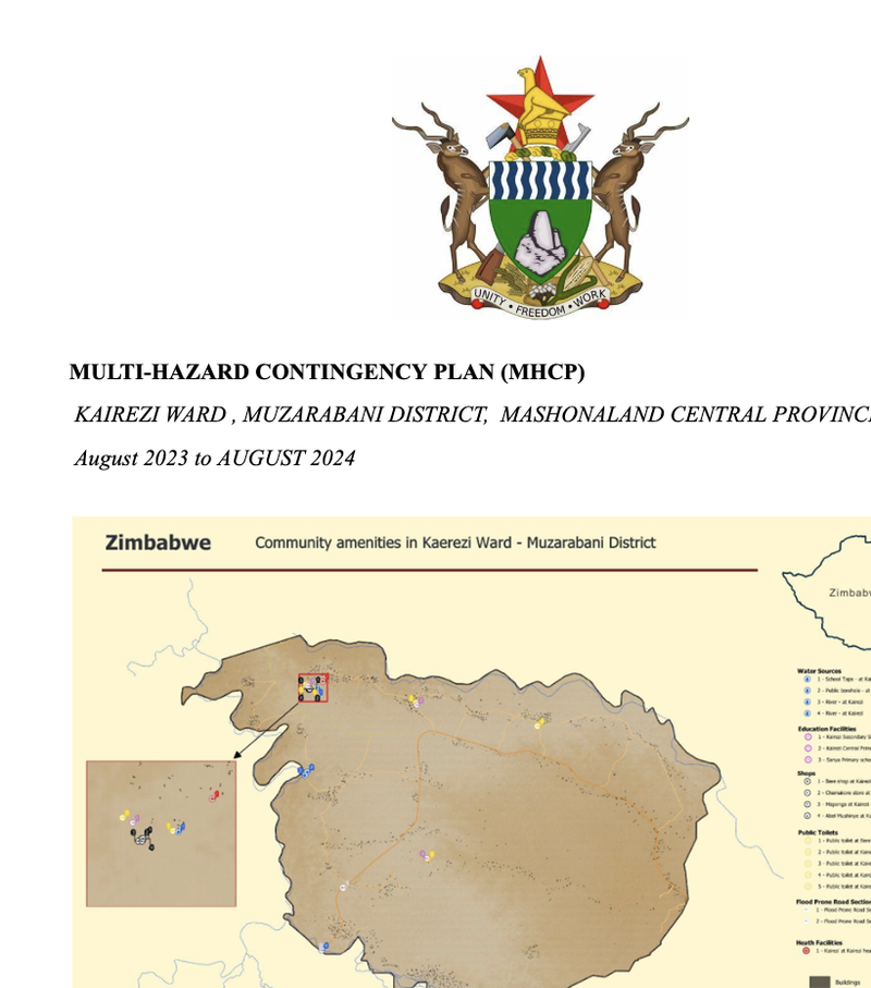
An excerpt from the Kariezi Ward contingency plan in Muzambarani, illustrating how community maps informed local disaster preparedness..
Share
