Crowdsource Mapping for Disaster Management - Timor-Leste
Timor-Leste
In municipalities like Bobonaro, Timor-Leste, communities face rising threats from natural disasters such as flooding and drought.
This collaboration project helped equip local actors and communities with the skills to leverage open mapping for disaster management, leading to ripple effects and ongoing outcomes as communities continue to apply their newfound skills for impact.
Note: This page is under construction to reflect the project's impact beyond the initial training and field activities. In the meantime, you can read more about these impacts in HOT's Climate Resilience Case Studies collection.
As part of the Open Mapping Hub - Asia-Pacific (AP Hub)'s dedication to strengthening data usage and promoting disaster resilience throughout the Asia-Pacific region, we are collaborating with local communities and partners in Timor-Leste to provide training on OSM for disaster management.
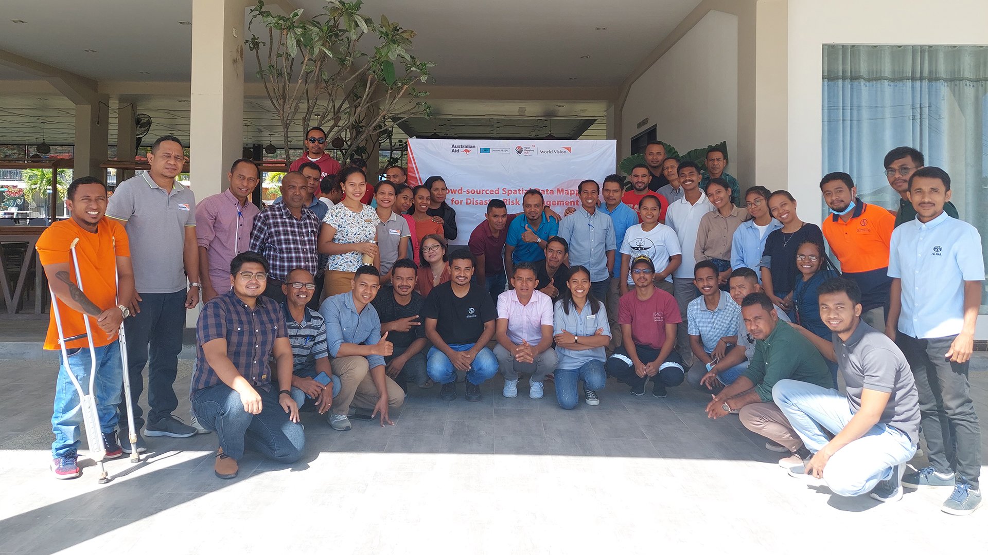
In collaboration with World Vision Timor-Leste, Similie Timor-Leste, and other local agencies, the training program was launched with a virtual session, followed by an in-person session where several community members and INGOs participated.
AP Hub launched the virtual introductory session on 15 July 2022, and the in-person training on remote mapping from 2-4 August, field mapping on 6-9 August, and concluded the training on 11 August with data analysis with InaSAFE, a free software that uses spatial data to produce post-disaster scenarios for better planning, preparedness and response activities.
The training started with an introduction to OSM, where participants started their OSM mapping journey, and also included intensive discussion among participants about data protection and privacy as well as defining form questions for the field survey in those areas. They also activated three tasking manager projects) to complete the mapping of building footprints and road networks.
The training also included a mapathon and field mapping of amenities and building information for disaster risk reduction.


During the mapathon and field-mapping, participants successfully mapped more than 10,000 buildings and 300 km of road networks. Similarly, during this field survey, they mapped hundreds of critical infrastructures in the survey areas (Baucau, Bobonaro, and Aileu) as well as continued the mapathon to complete the building footprints and road networks in those areas. At the end of the field survey, they mapped more than 47,000 buildings, 350 km of road networks, and 700 amenities.
The training was concluded with a session on data analysis using InaSAFE. Using Seroja Flood 2021 as a reference, the training aimed to introduce participants to other free and open-source tools for disaster impact scenarios and combine them with OpenStreetData in the analysis area.

Participants also tried to create the map for the analysis results from InaSAFE using the QGIS print layout.
Impact of the training


This project has not only improved the database and the baseline of OSM map data in Timor-Leste, which will benefit the local community in the country, especially those who need spatial data to support their work but also established a local OSM community. The local community is formed of diverse institutions and organizations that can support the sustainability of mapping activities and OSM data use in Timor-Leste by networking with each other and sharing their learnings and knowledge.
Moreover, the community and government have increased awareness and knowledge of using OSM data. Therefore, we hope that they will now be able to use their knowledge and skills in open mapping by generating data to implement and advocate for socio-economic change.
With the establishment of the OSM Timor-Leste Community after this project, we expect that OSM contributors will arise from this project who will conduct regular OSM mapping activities and that the data generated by OSM will be used by various stakeholders and organizations for decision-making in the country.
In our ongoing mission to support communities and organizations in the region in getting high-quality OSM map data for humanitarian response in the region, we are committed to developing their capacity through workshops, training, and field surveys using free and mapping tools which not only provide the baseline information on the map but also increasing their situational awareness and improving decision-making in disaster management.
Cover photo credit: Harry Mahardhika / Open Mapping Hub - Asia-Pacific
Explore the project's case story
Read more about the project and its continued impact years after implementation.
