




How Can Open Mapping Drive Better Climate-Health Work?
Publicado por Pete Masters, Melodee Okigbo, Omowonuola Akintola • 16 de noviembre de 2026
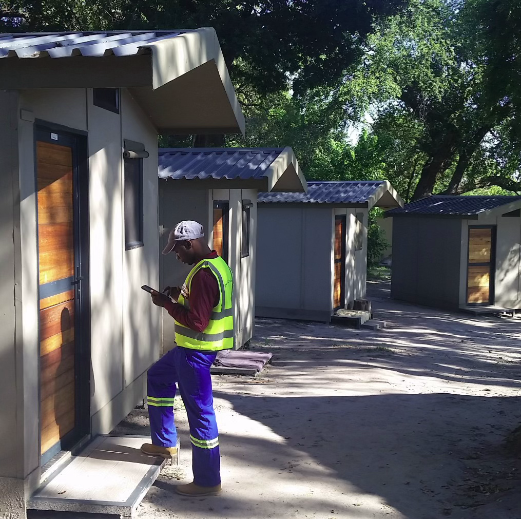
Last we left off in these updates, we were having conversations with practitioners within the realms of climate, health, humanitarian response, population data, mobility, geospatial systems, and community-led development to ask:
Where can open and community mapping make the most useful and distinctive contribution to climate-health action?
Catch up on the previous conversation - here
Now, we’ve concluded this crucial first phase. These conversations, along with our existing open-mapping and public-health activities, have helped us identify six challenges and opportunity areas, ones where new approaches need to be developed, where more research is needed, and ones where partnership is the right route.
Pulling six key challenges from many, many insights.
If our conversations revealed anything, it’s that there’s an awareness of a need to improve how we think about, interact with, and treat geospatial data as it relates to climate health.
After manual and coded sorting of insights from conversations with practitioners at the intersection of climate, health, and data in different regional and professional contexts, six challenges emerged as the most recurring across them all. They are:
1. Settlement gazetteers: Knowing where communities are
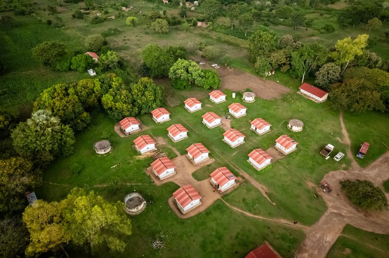
Across much of sub-Saharan Africa, there is no reliable reference for settlements: that is, what they're called (named), where they're located, alternative spellings, administrative relationships, and links to service areas.
Think about it. If the same village appears under different names across health, census, and administrative datasets, or does not appear at all, it becomes harder to link disease cases to places, estimate populations, or plan interventions. And some of our strongest signals of this came from epidemiology and infectious-disease practitioners, for whom reliably locating cases is fundamental.
Dorothy Watters, Research at the London School of Hygiene and Tropical Medicine, while speaking on not being able to geolocate patients:
“A lot of neighborhoods aren’t clearly defined. Names are often repeated across the country, and descriptions of where a neighborhood begins and ends vary from person to person.
I’ve been in the car with our field team, unsure where someone lived. Sometimes, even after reaching the village, we still couldn’t find their home. On one occasion, we had to pick up someone’s sister so she could guide us to the household. That makes it very hard to pinpoint where people live.”
“Even data sets across different responses, it's super hard to standardize those because no one's using the same name and they don't have the same tags, and then you can't scale that either.”
— Alex Spina, Scientific Director & Co-founder at Applied Epi
We think the opportunity for open mapping here is not simply to map every village, but to establish how open settlement reference data can become shared national infrastructure.
Watch this short explainer on why reliable settlement data matters for public health.
2. Extreme heat and disaster-management decision support
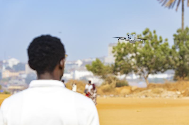
Although extreme heat is increasingly posing serious health risks, the spatial data and decision-support systems available to local governments, health actors and communities still remain less mature, especially compared to many other hazards.
Heat risk is also profoundly local and contextual. Buildings, shade, water, occupation, health, power supply and the urban environment shape exposure in ways outdoor temperature alone cannot capture.
“When I moved from Jataí to Cáceres, I was completely unprepared for the heat. I struggled with skin problems, sinusitis, and difficulty breathing. My hair was falling out, and I was gaining weight. There was so little research documenting local climate conditions that I only understood what living with this heat meant once I was there.
“And it goes beyond what happens to our bodies. Solar installations have overheated and caught fire, burning houses down. Years of intense heat have dried the soil until it can no longer absorb the rain. When the rain finally comes, it washes away the fertile soil.”
— Respondent
“When working to move from data to decisions, we must remember a simple fact: a map of temperature is not the same as a map of human heat risk. People move through cities differently, and their bodies respond to heat differently. Land-surface temperature and building footprints alone cannot tell the whole story of what heat is doing to people. We also need to understand airflow, shade, building height, trees, and other green infrastructure. All these layers must come together with residents’ lived knowledge of their communities. That is where participatory mapping combined with scientific knowledge becomes essential. It helps us see how people actually experience heat in their daily lives and where action can make the greatest difference.”
— Patricia Solis, Executive Director, Center for Heat Preparedness at Arizona State University.
Unlike settlement gazetteers, this is not yet a question of scaling a known intervention. The opportunity is to work with actors already developing heat anticipation, preparedness, and response strategies and test where open mapping can drive impactful interventions.
Watch this short explainer on how open mapping can help shift we respond to extreme heat.
3. Climate-sensitive access and mobility
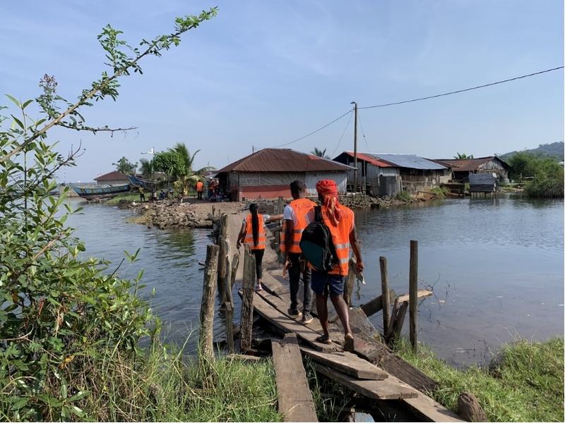
A health facility can exist on a map and still be inaccessible (or simply not accessed). Road conditions, flooding, transport availability, displacement, demographics, and changing population movement all influence what services people can actually reach.
Speaking to this, a program manager in health sector planning shared,
“When there's longer-term flood mapping and flood risk data, it can inform where health centers should be built. The same applies to roads: where might flooding block access? Some health centers can be isolated for periods of time because of floods. This is where complete road network data, village and settlement locations, and building outlines become particularly useful”
Open mapping can contribute, but deep specialist expertise in mobility and accessibility already exists. HOT’s role is more likely to be through partnership and support, contributing open data and community-mapping capabilities where they add value.
Watch this short explainer on why mapping a health facility is only part of understanding whether people can reach it.
4. Alternatives and complements to declining household surveys
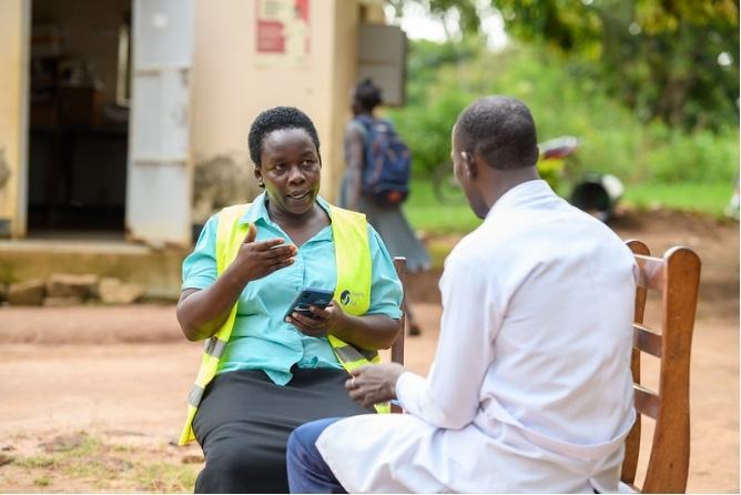
Standardised household surveys have underpinned public-health and demographic decision-making for decades, but they are expensive and increasingly difficult to sustain at the frequency and resolution needed for fast-changing climate-health risks.
What role can open mapping play alongside official statistics, remote sensing, community-generated data and modelling and can communities take more leadership in designing and collecting the data that matters to them? This has significant potential, but requires new partnerships and coalitions to explore.
“Much of the funding that has made this monitoring possible is disappearing. So how can we sustain this valuable work, and could communities take it on?
I think there are all sorts of interesting ways to collect that data, but we need a clear path on how to make it more cost-effective.”
— Cathryn Tonne, on alternative methods for household survey data collection.
5. Community reporting as spatial intelligence
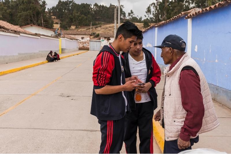
Communities often know first when water points fail, flooding cuts off a route or health risks emerge locally. The challenge is turning those observations into usable, trusted, and systematised information without stripping communities of ownership.
During conversations, Nicolas Dominguez Carrero, a climate-health researcher and humanitarian, explained that
“Institutional health data [health data coming through health centers] has inherent underreporting. A mapping tool could help verify and supplement these larger datasets at a more granular level.
Communities bring lived experience, and any good climate health tool needs to create space for communities to shape what the solutions look like, not just provide data inputs.”
The climate-health proposition is not yet specific enough to develop directly. HOT also has relevant community-reporting work underway, particularly in disaster response, from which we expect to learn over the next six to twelve months.
Watch this short explainer on how community knowledge can help fill gaps in climate-health data.
6. The contextual spatial data needed to make climate-health information actionable
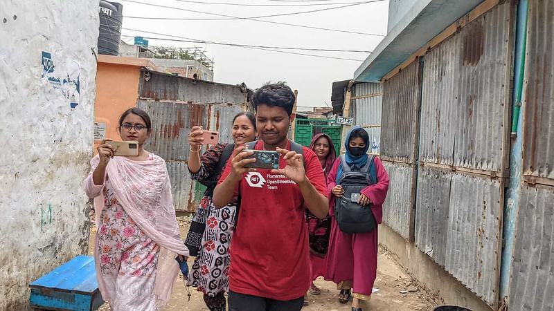
Health and climate datasets often need local context before they can support decisions: settlements, population, roads, buildings, health facilities, water points, drainage, land use and other conditions. Unfortunately, in many places, the necessary relevant and high-quality data does not exist or is partial or fragmented.
“We're really focusing on people having access to accurate climate information at the local level. This kind of climate information has an impact on people's day-to-day planning and livelihoods, for example around crops and harvest and failure.”
— Researcher
“Impact-based forecasting is not just about what the weather will be, but what the weather will do. It needs high-quality local spatial data, including: where people are; where the health infrastructure and services are; and what the roads look like that connect the people to the infrastructure and services.”
Erin Coughlan de Perez — Tufts University
The importance of this challenge is clear. The intervention is not. “Improving contextual spatial data” is too broad to be useful in itself at this stage of the work.
Watch this short explainer on why local spatial data matters for climate and health decisions.
Prioritisation means making different choices
Six important challenges do not necessarily mean six new research and experimentation directions. These challenges are all currently at different stages, when it comes to a clear scope of what the root of the problem is, what addressing it might look like, and how to map data figures into this.
For settlement gazetteers, the problem is well evidenced; the next questions are scale, feasibility, economics, and implementation.
For extreme heat, we see a strong potential role for open mapping, but it needs to be demonstrated alongside actors already building practical responses.
For community reporting and contextual spatial data, the research validated their importance but not yet with enough specificity to define a useful intervention.
For access and mobility and alternatives to household surveys, HOT’s strongest contribution is likely to be through partnership, coalition-building, and targeted experimentation.
Next steps, two paths
1. Making the case for settlement data at national and continental scale
When it comes to addressing missing data in settlement gazetteers, it’s about making the case for action and creating a methodology for solving the problem at scale.
The key questions are: how large is the problem, what would it take to address nationally or across multiple countries in Africa, what would it cost, and how do we demonstrate the return on that investment?
Epidemiology and infectious-disease surveillance provide one of the clearest starting points. Reliable settlement data can improve case geolocation, hotspot identification and intervention planning, with wider benefits for vaccination, health-service catchments, disaster preparedness, population estimation and climate-risk analysis.
We will investigate both the value proposition and delivery model: estimating the scale of the task and testing how machine learning, remote sensing, administrative records and community knowledge could make high-quality settlement data achievable at national and potentially continental scales.
The goal is to move from saying “this is an important data gap” to demonstrating what solving it would cost, what value it could unlock, and how it could realistically be done.
2. Demonstrating how open mapping can drive extreme heat action
For extreme heat, the opportunity is different.
Municipalities, public health agencies, community organisations, NGOs and researchers are increasingly developing new approaches to heat. So the aim is to work alongside them in places where this is happening and demonstrate where open and community mapping can help drive high-quality and localised solutions.
A central shift is emerging: from treating heat impacts primarily through the health system, one patient at a time, towards anticipating, preparing for and responding to heat as a wider systemic risk, more akin to the way other disasters are managed.
Can locally generated spatial data identify populations that broad heat models miss? Can mapping buildings, shade, water, health services, cooling spaces and other local conditions improve targeting? Can community-generated information strengthen preparedness and early action?
The next phase will focus on working with partners where tangible heat work is already planned or underway, demonstrating through practical collaboration where open mapping can provide useful data infrastructure.
The aim is not for HOT to define how extreme heat should be managed, but to establish how open data and community mapping can power approaches that municipalities, health systems, researchers and communities are already designing and testing for their own contexts.
Building the next phase with others
This research has always depended on people beyond HOT. Our key informants have provided us with a wealth of knowledge and experience, and we hope that they will become the core of a wider community of practice able to develop and challenge ideas, connect expertise and identify opportunities.
Our Wellcome-supported fieldwork in Zimbabwe, Malawi and Bangladesh will help ground the research in real climate-health decisions. We’ll be in different spaces that offer opportunities to build partnerships around extreme heat, adaptation and locally led action. Forums that foster intentional conversation around climate health, settlement data, population data, official statistics, household surveys, and community-generated information.
During our next phase of this research, we’ll go deeper into these priorities through further analysis and experimentation, with the aim of developing clearer roadmaps for future work.
If you are working on settlement data, infectious-disease surveillance, extreme heat, disaster management, community-generated information, climate-sensitive mobility, population data, or the spatial foundations of climate-health decision-making, we would like to hear from you.
If you’d like to join the conversation, fill out this form, and we’ll reach out to you to set up a meeting with you.
 Funded by Wellcome
About Wellcome: Wellcome supports science to solve the urgent health challenges facing everyone. We support discovery research into life, health and wellbeing, and we’re taking on three worldwide health challenges: mental health, infectious disease and climate and health.
Share