Map4Mangrove: Collaborative Mapping for Mangrove Conservation and Climate Action - Indonesia
Indonesia
Mangroves play a crucial role in coastal protection, biodiversity conservation, and carbon sequestration. To enhance mangrove monitoring, the Map4Mangrove project partners with organizations working in mangrove conservation to integrate open geospatial tools and approaches into their work.
Monitoring Gaps in Mangrove Conservation
In 2018, a tsunami struck the Panimbang and Sumur Subdistricts in Pandeglang, Banten, Indonesia, causing severe damage to several mangrove areas and underscoring the urgent need for rehabilitation.
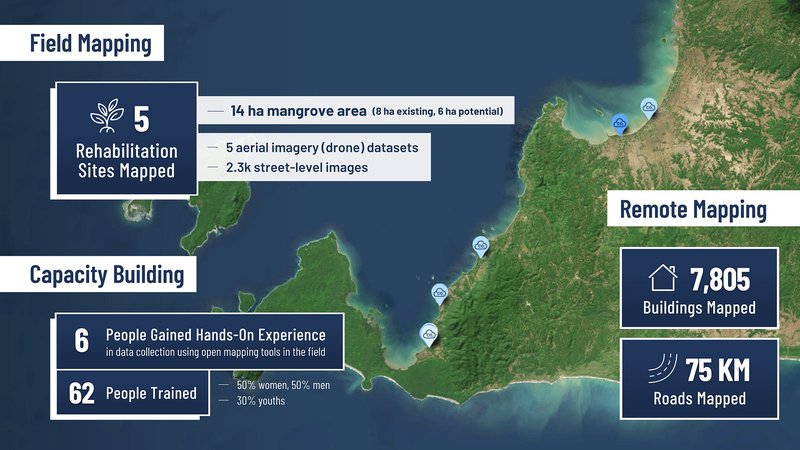
In response, the Indonesian Biodiversity Foundation (KEHATI) and Yayasan Lestari Alam Kita (SALAKA) are implementing the Blue Carbon Program – a mangrove rehabilitation initiative funded by PT Asahimas Chemical and supported by the Banten Provincial Government. Launched in 2021, it covers 14 hectares across five locations, each with its own diverse landscapes and characteristics.
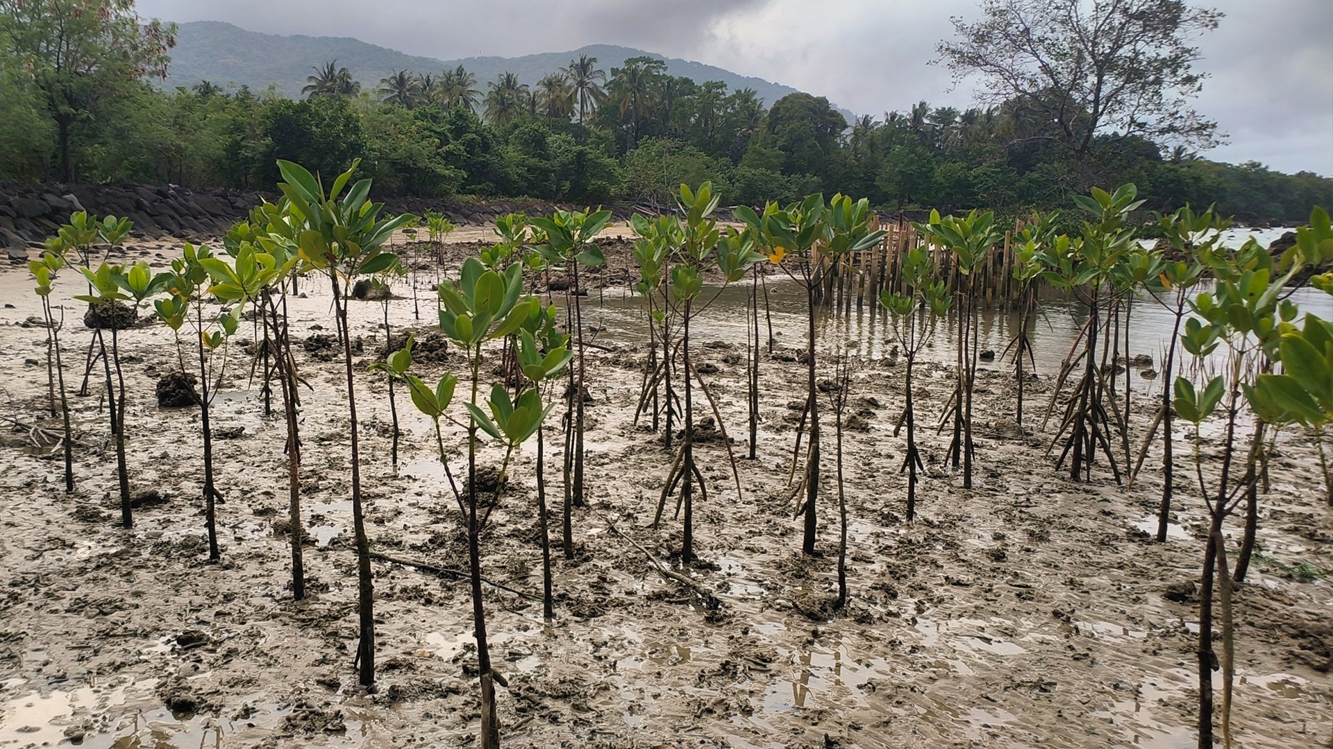
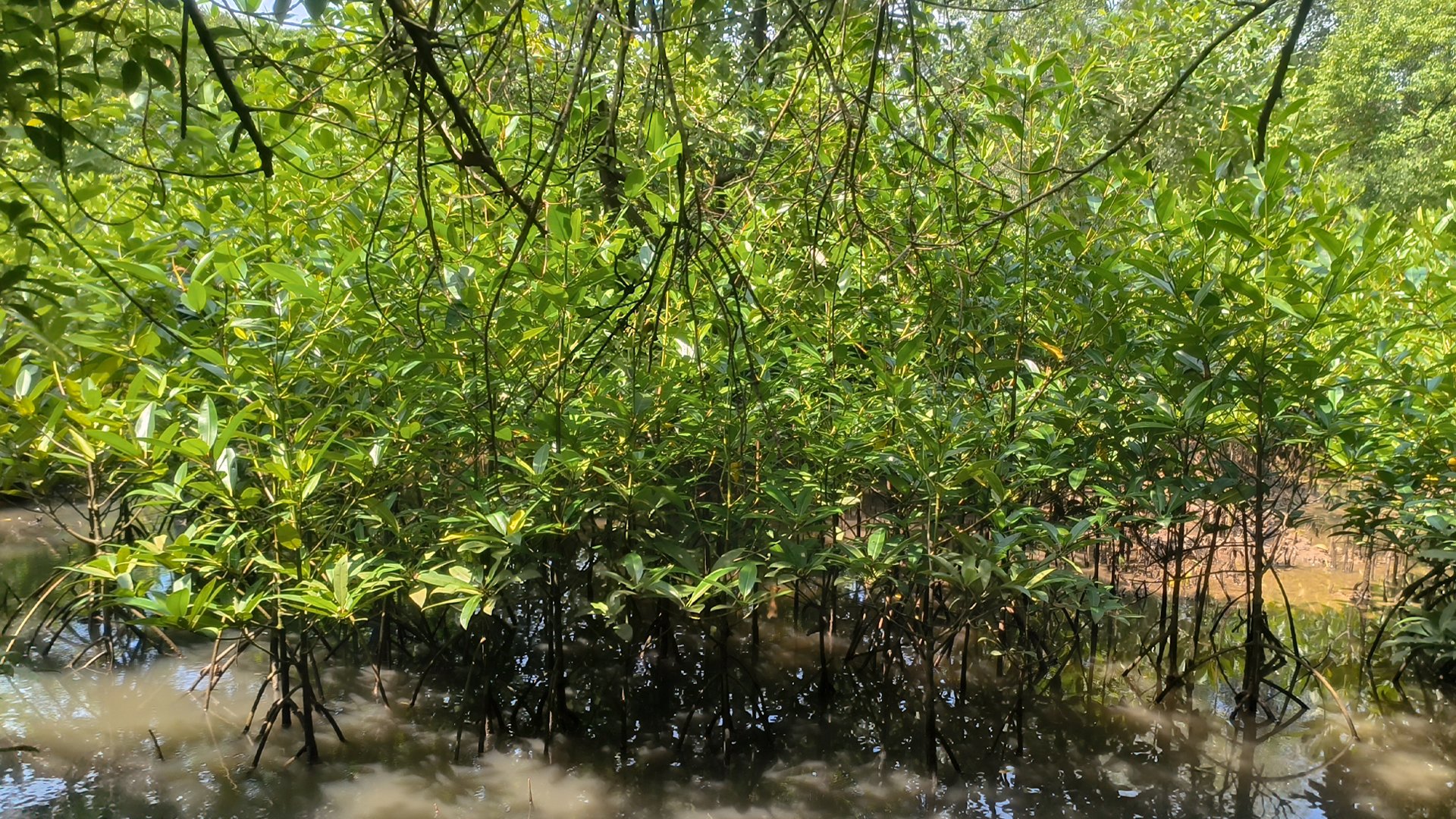
The Blue Carbon Program's mangrove rehabilitation sites, each managed by local community groups | Photo: Tony Liong / Open Mapping Hub - Asia-Pacific
Despite ongoing restoration efforts, there is still limitation in monitoring, reporting, and decision-making. Without a data-driven approach, achieving long-term mangrove ecosystem resilience and maximizing biodiversity and disaster mitigation benefits remain a challenge.
Open Mapping to Transform Mangrove Monitoring Efforts
Through the Map4Mangrove project, HOT's Open Mapping Hub - Asia-Pacific (AP Hub) collaborates with KEHATI and SALAKA to bridge gaps in mangrove monitoring by integrating open mapping technology, tools, and data into the Blue Carbon Program.
A key output of the project is a centralized, interactive digital dashboard that visualizes essential conservation data. The dashboard is used by KEHATI and SALAKA to strengthen conservation strategies through effective monitoring and impactful reporting.
Collaborative, Multi-Stakeholder Approach for Sustainable Monitoring
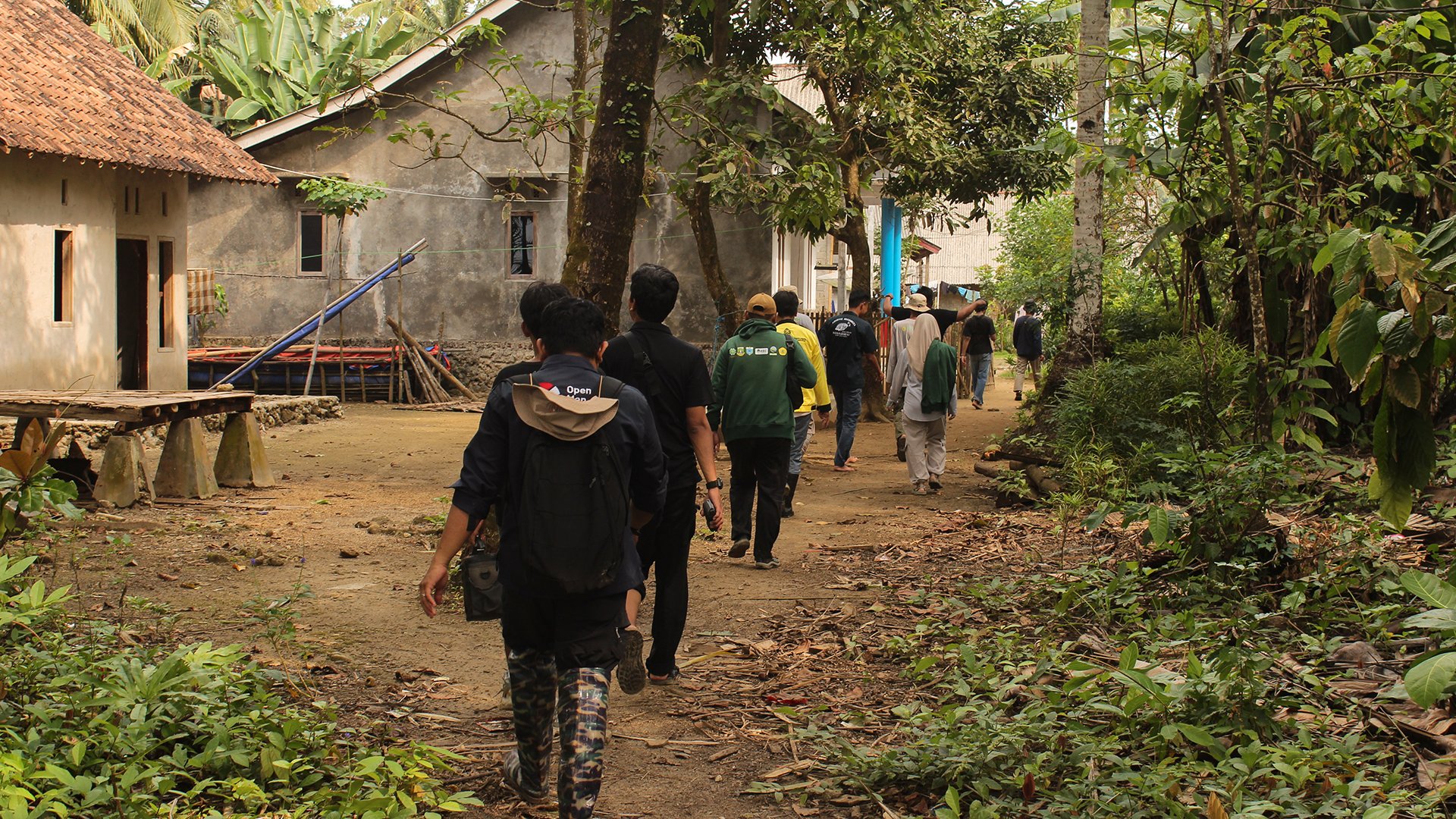
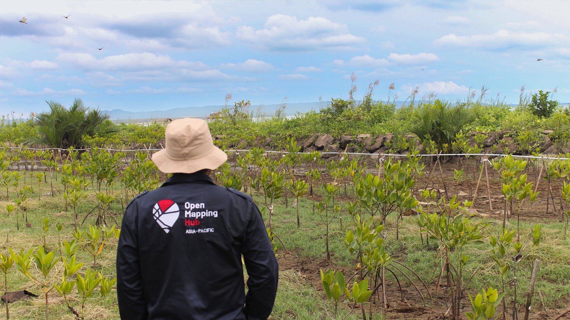
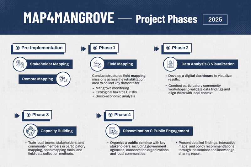
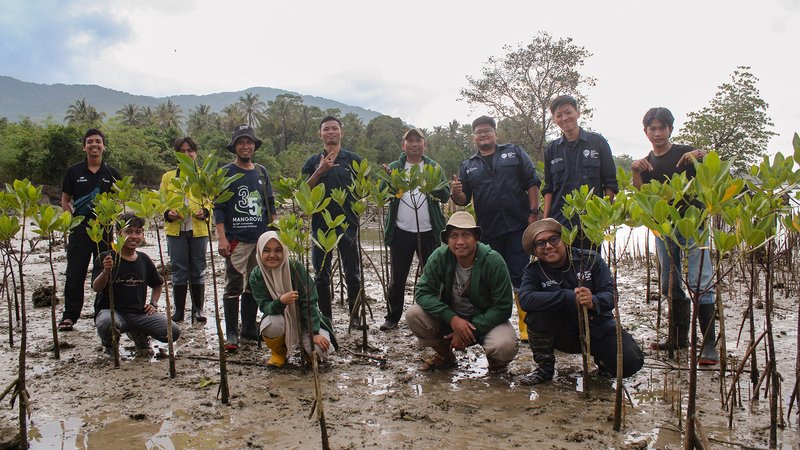
Field mapping with KEHATI, SALAKA, university students, and local community representatives (July 2025) | Photo: Tony Liong / Open Mapping Hub - Asia-Pacific
Built on the principles of open mapping, Map4Mangrove applies a participatory approach, where involvement of partners, stakeholders, and local communities are key throughout all of its phases.
This inclusive process is essential to the long-term sustainability of the monitoring system. In addition to fostering hands-on experience and building technical capacity, it strengthens local ownership and ensures relevance to local contexts and community needs.
Project Phases
The project began with stakeholder engagement and remote mapping for buildings and roads around the project area. These pre-implementation activities helped establish stronger connections with partners and essential baseline data foundation.
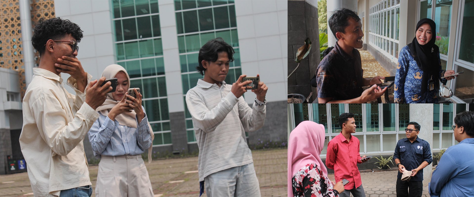
– Phase 1: Field mapping
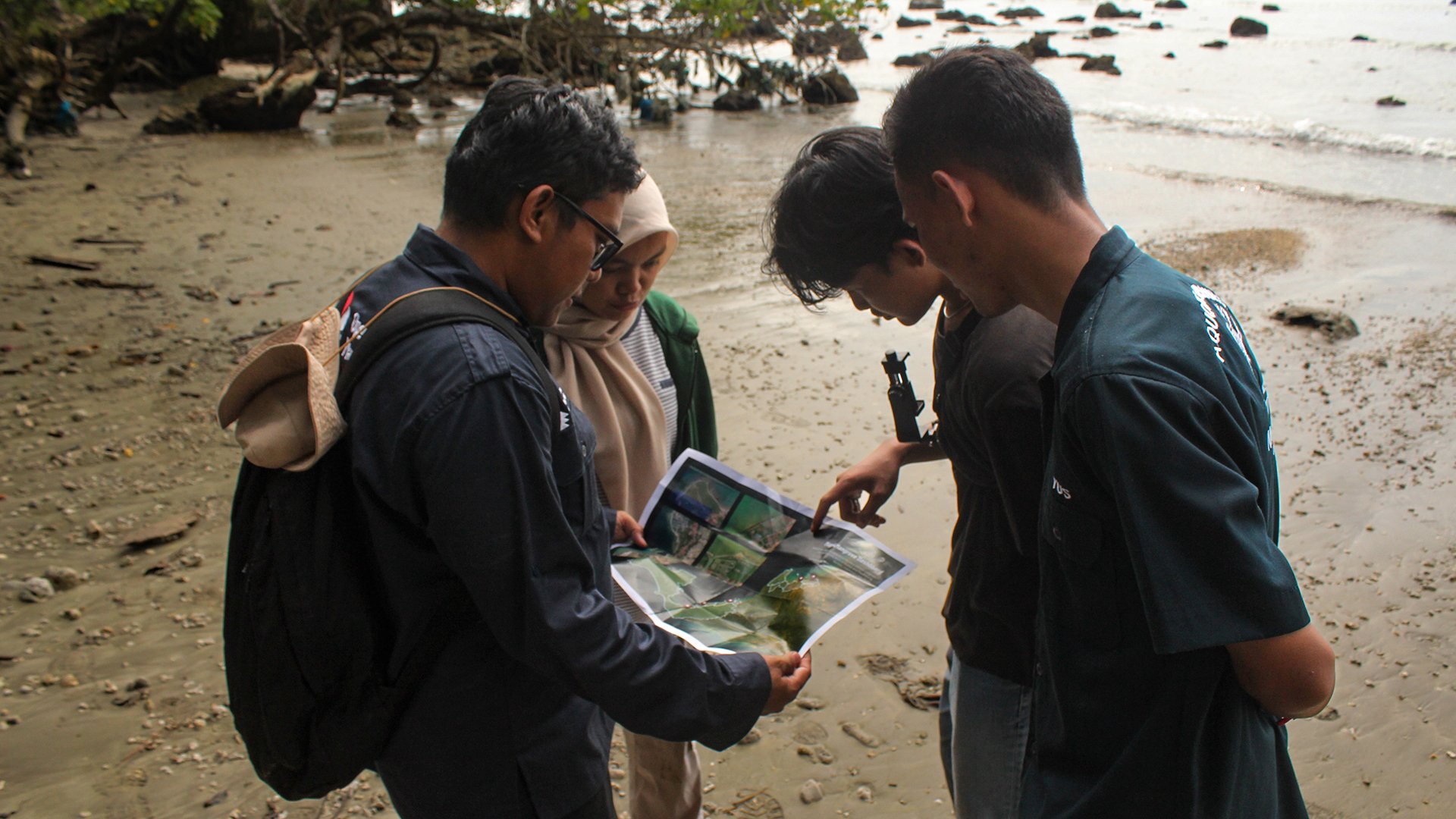
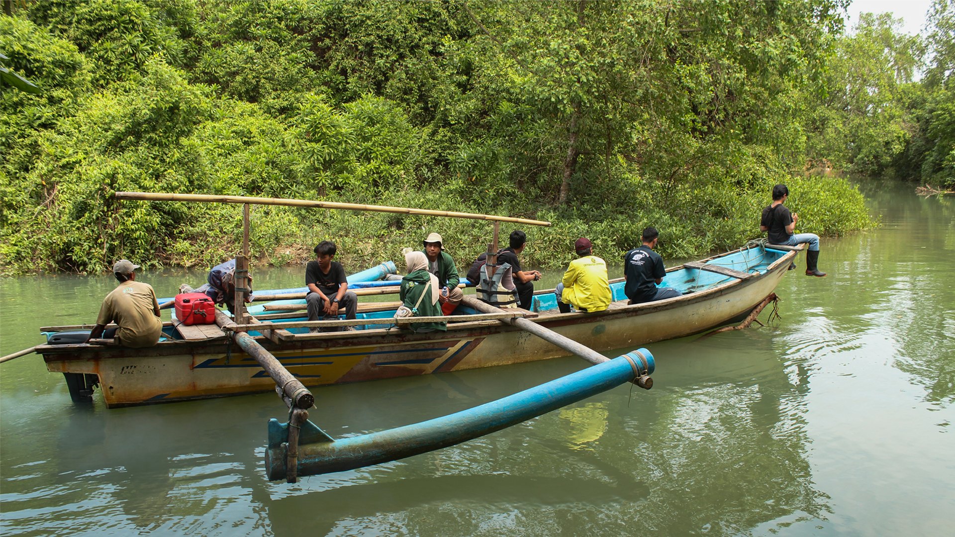
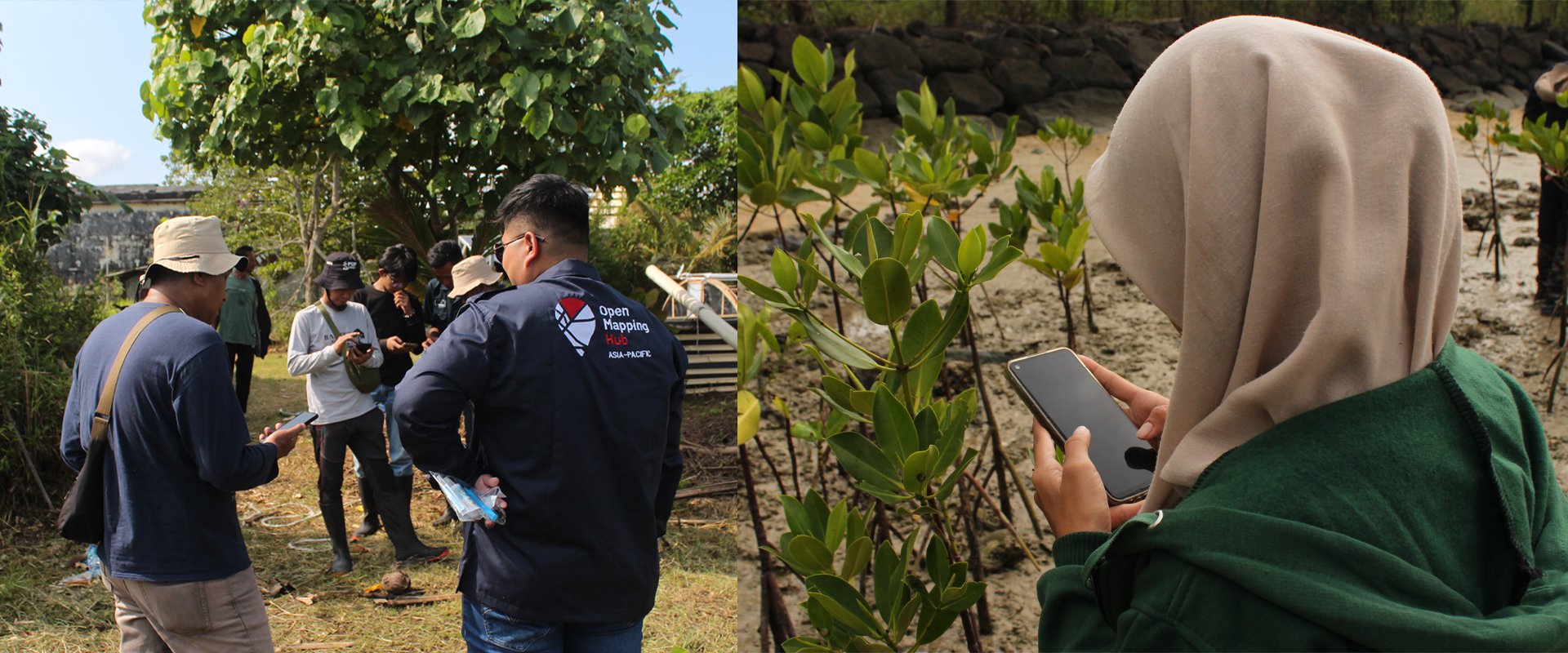
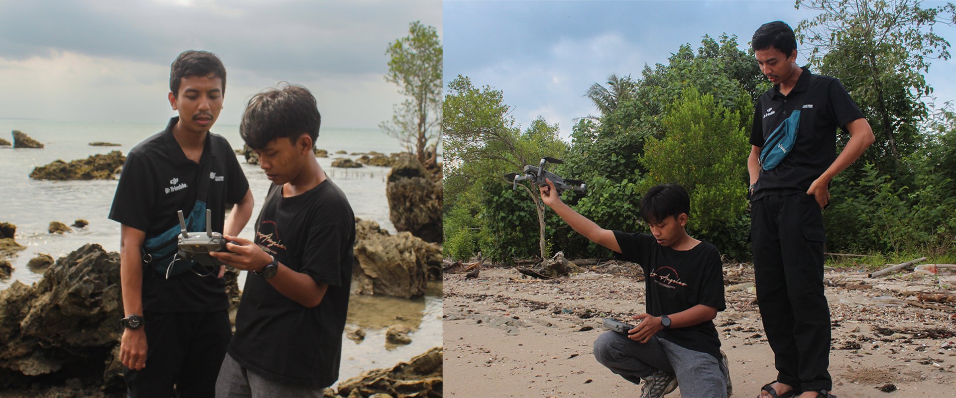
At the end of July 2025, the AP Hub team worked together with partners and local university students to map and document five mangrove rehabilitation sites. Activities included survey-based data collection, capturing street level imagery, and aerial mapping using drone.
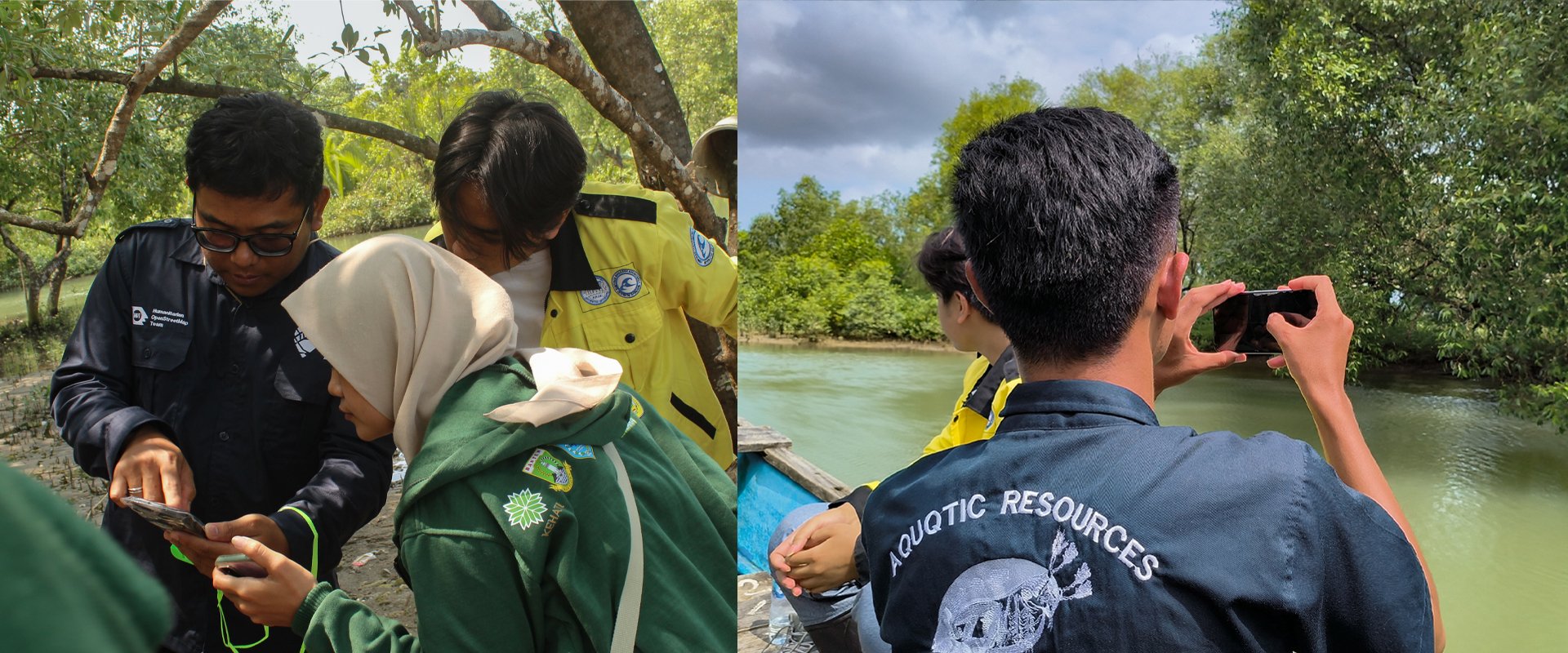
The data collection questionnaire was developed in close collaboration with SALAKA to ensure direct relevance to identified needs and local context. In addition to mangrove growth and condition, land administration, and tidal information, the team collected additional data for internal reporting such as socio-economic analysis, village profiles, and local economic potential.
– Phase 2: Data analysis and visualization
Field data was analyzed and visualized through the Map4Mangrove Dashboard, developed with ongoing consultation and collaboration with KEHATI and SALAKA.
– Phase 3: Capacity building
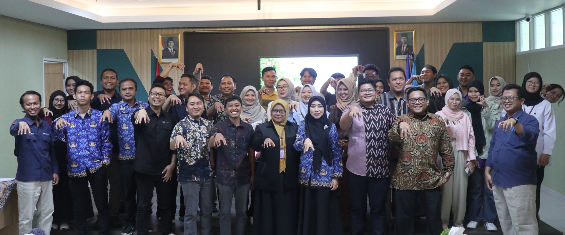
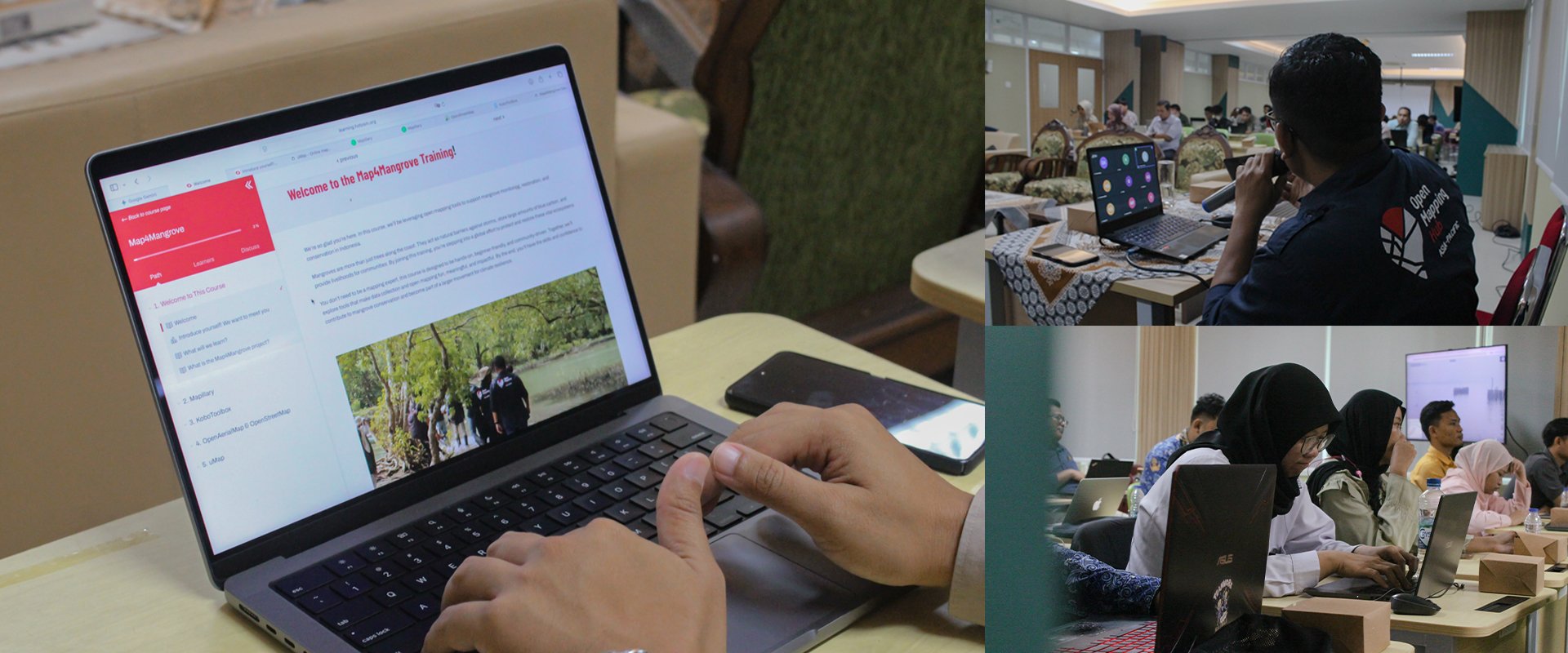
As a key effort to ensure long-term sustainability, a two-day training of trainers was held for local stakeholders, including partners, government officials, university lecturers, and students. The training was designed with a hands-on, context-based approach, using real field data and examples.
Through this knowledge transfer, local stakeholders equipped themselves with the necessary skills to maintain, update, and actively use the dashboard. It also opened doors for them to apply these skills into other projects or research beyond mangrove conservation.
Outcomes and Impact
Explore the Map4Mangrove Dashboard
The dashboard features key information from all five sites, presented through intuitive, accessible visualizations. With site photos, aerial imagery, and links to street-level imagery, users can clearly see the condition and progress of the rehabilitation – something numbers and words alone cannot fully capture.
By integrating carbon sequestration estimates, the dashboard also supports more impactful reporting and advocacy by showcasing the program’s projected environmental benefits over the next five years.
Local Teams Driving Transformation Through Data-Driven Conservation
Through Map4Mangrove, AP Hub, KEHATI, and SALAKA teamed up to advance mangrove conservation, bringing together community-based conservation expertise and open mapping technology to drive actionable impact. | Photo: Tony Liong / Open Mapping Hub - Asia-Pacific
Behind every successful conservation initiative is the dedication and collaboration of many people, guided by local insights and ownership. Thanks to Map4Mangrove’s participatory approach, where local partners actively helped shape the process, the collected data and dashboard truly reflect on-the-ground realities and needs – fostering long-term sustainability and use.
By the end of the project, SALAKA had integrated open mapping tools into their regular monitoring process, moving from manual methods to more efficient, data-driven digital workflows. Through hands-on experience, SALAKA can now independently manage these workflows to strengthen their conservation work.
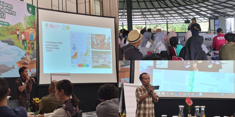
During KEHATI’s Share Learning and Grantee Networks Strengthening event (January 2026), SALAKA showcased how open mapping has enhanced their mangrove conservation efforts and led training sessions on KoboToolbox and Mapillary. | Photo: Toufik Alansar and Akhmad Zainal Mubarak / Yayasan KEHATI
In addition to advancing their own work, SALAKA also shared knowledge on open mapping with others. During an engagement with KEHATI’s grantee networks, they led sessions to share project insights and provide hands-on training with the tools they used.
Through this ripple of knowledge and learning, capacity building truly becomes the key driver for lasting waves of impact, extending beyond the project.
Upcoming Horizons
Strong partnerships built through the project will continue to support environmental stewardship and local mangrove conservation, as SALAKA carries forward the use of open mapping tools in their monitoring and reporting.
Over time, the project team will follow up with KEHATI and SALAKA to evaluate the impact of the open mapping approaches and tools introduced through Map4Mangrove in strengthening conservation outcomes, helping establish a framework for other conservation and biodiversity programs across Asia-Pacific.
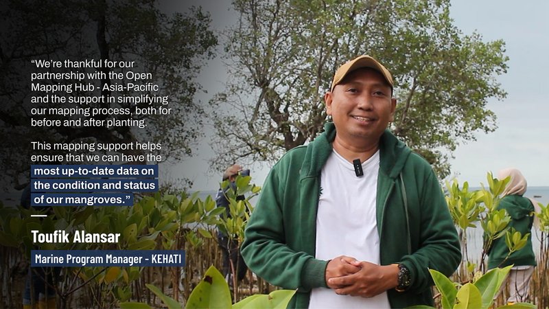
Toufik Alansar, KEHATI’s Marine Program Manager, highlights the importance of mapping in mangrove conservation. He hopes the collaboration established through Map4Mangrove will bring many lasting benefits to mangrove ecosystems and the local communities around them. | Photo: Tony Liong / Open Mapping Hub - Asia-Pacific
More from Map4Mangrove: Video, Photos, Resources
1) Explore photos from the project here.
2) Learn about the tools used in the project through our self-paced course.
3) Take a virtual tour of the rehabilitation sites on Mapillary, captured during field mapping.
Connect with Us
If you're interested in learning more about the project and exploring how to apply these approaches in your own conservation work, please reach out to us at openmappinghub.ap@hotosm.org.
Cover photo credit: Tony Liong / Open Mapping Hub - Asia-Pacific
