


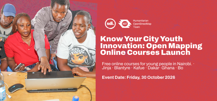
Know Your City Youth Innovation: Open Mapping Online Courses Launch
21 octobre 2026 16:03 UTC – 16:03 UTC
Four free online courses. Seven African cities. Over 1,000 young people.
- Date: Friday 30 October 2026
- Time: 3:00 PM EAT · 2:00 PM CAT · 12:00 PM GMT
- Where: Online, on Google Meet (90 minutes)
- Cost: Free
- Register by: Thursday 29 October
About the project
The Know Your City (KYC) Youth Innovation Project is a collaborative initiative focused on empowering young people across African cities with open mapping tools and digital spatial skills. By equipping youth in cities such as Nairobi, Jinja, Blantyre, Kafue, Dakar, Tamale, and Bo, the project enables local communities to map their surrounding environments, analyze spatial data, and drive community-led development. Participants gain hands-on expertise across four essential skill areas: editing OpenStreetMap, creating interactive web maps using ChatMap and uMap, performing spatial analysis in QGIS, and planning safe, ethical drone mapping operations. Through these open data tools, young mappers move from being passive subjects of urban research to active innovators who generate actionable insights for climate resilience, urban planning, and local advocacy.
About the launch
To launch these practical learning opportunities, a live virtual launch event will take place on Friday, 30 October 2026, from 3:00 PM EAT (2:00 PM CAT / 12:00 PM GMT) on Google Meet. The 90-minute online session brings together over 1,000 young leaders, urban mappers, and partner organizations across the seven target cities to mark the official opening of four free online courses. Attendees will get a complete walkthrough of the curriculum, learn how to earn a certificate of completion by demonstrating practical mapping work, and connect with a regional network of spatial data advocates.
How it works
- Join the launch. In a 90-minute online session, we introduce the four courses, explain how to earn a certificate, and show you how to sign up and start.
- Take the courses online. After the launch, you learn at your pace on the HOT learning platform.
The four courses
- Introduction to Open Mapping Learn OpenStreetMap, use the iD Editor to create and edit map features, avoid common mistakes, and join mapping projects on the HOT Tasking Manager.
- Create Interactive Maps Collect and share location information with ChatMap, and make interactive maps with uMap to show community priorities.
- QGIS Fundamentals to Analyse Spatial Information Work with OpenStreetMap data in QGIS, do basic spatial analysis, combine datasets and make maps that tell people something useful.
- Introduction to Drone Tasking Manager Learn drone mapping basics, safe and ethical flying, key flight settings, and how Drone Tasking Manager helps plan aerial imagery collection.
Earn a certificate.
The certificate combines what you learn with what you can do. You show your skills through practical exercises and evidence of your work. For example, after Introduction to Open Mapping, you show you can make accurate, quality edits to OpenStreetMap.
Local start times
- 3:00 PM EAT: Nairobi, Kenya · Jinja, Uganda
- 2:00 PM CAT: Blantyre, Malawi · Kafue, Zambia
- 12:00 PM GMT: Bo, Sierra Leone · Tamale, Ghana · Dakar, Senegal
Register by Thursday 29 October. We'll send the joining link to your email.
Share