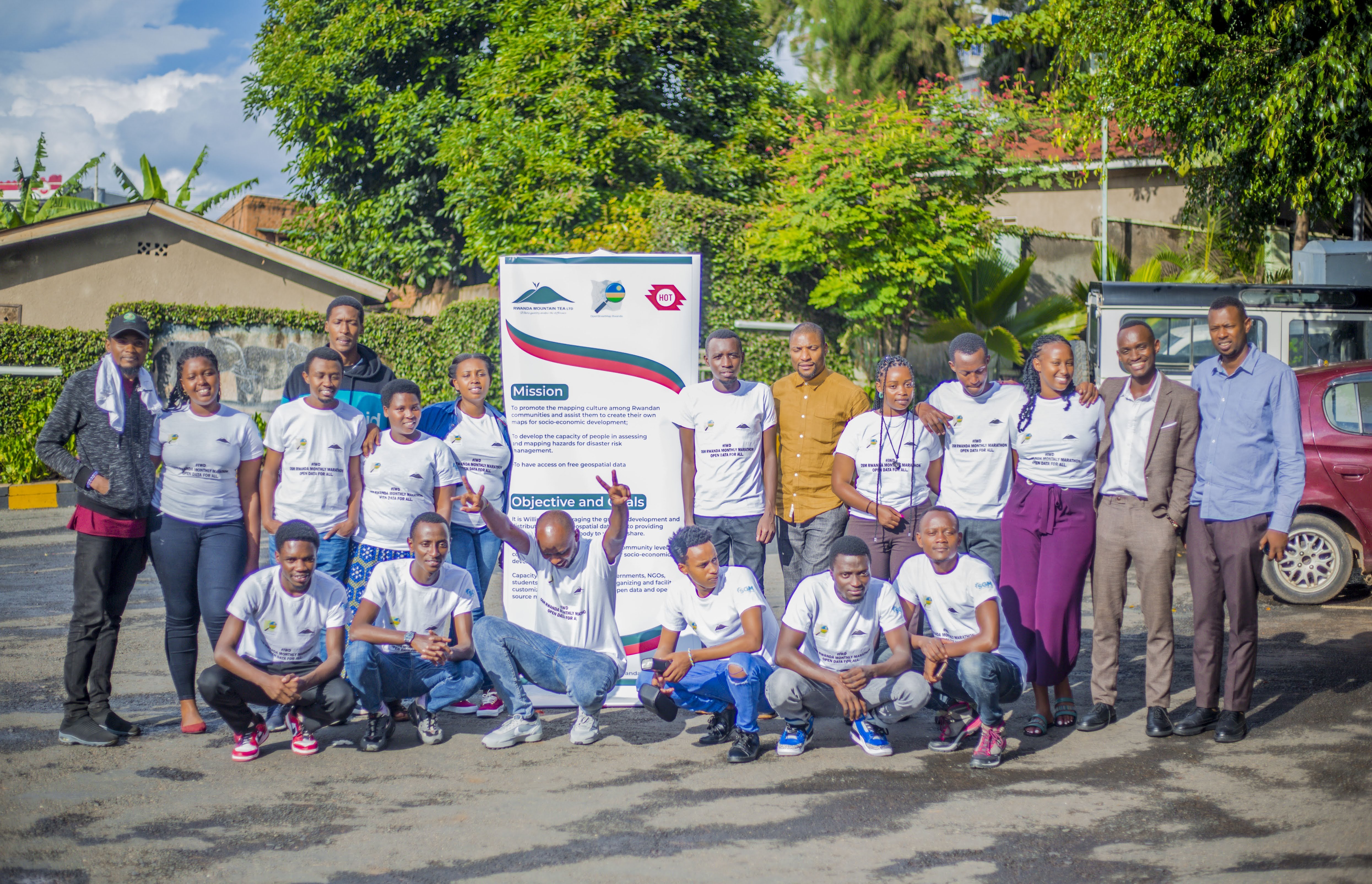
Open Mapping Grants Version 3 for Eastern and Southern Africa
In 2024-2025, the ESA Hub's Open Mapping Grants Programme funded 5 organizations across 5 countries to address critical mapping gaps in disaster preparedness, environmental governance, urban planning, and climate resilience. Together they mapped over 209,000 buildings, digitized nearly 2,900 kilometers of roads, and added more than 18,400 amenities to OpenStreetMap, expanding the geographic data available to communities and decision-makers across the region. Beyond the digital work, grantees planted over 500 trees for climate restoration and added 177 place names to improve local geographic representation. The program also generated five foundational hazard risk maps and trained 176 individual contributors across all projects, building lasting local capacity for mapping and community-led data work.
Funded Organisations
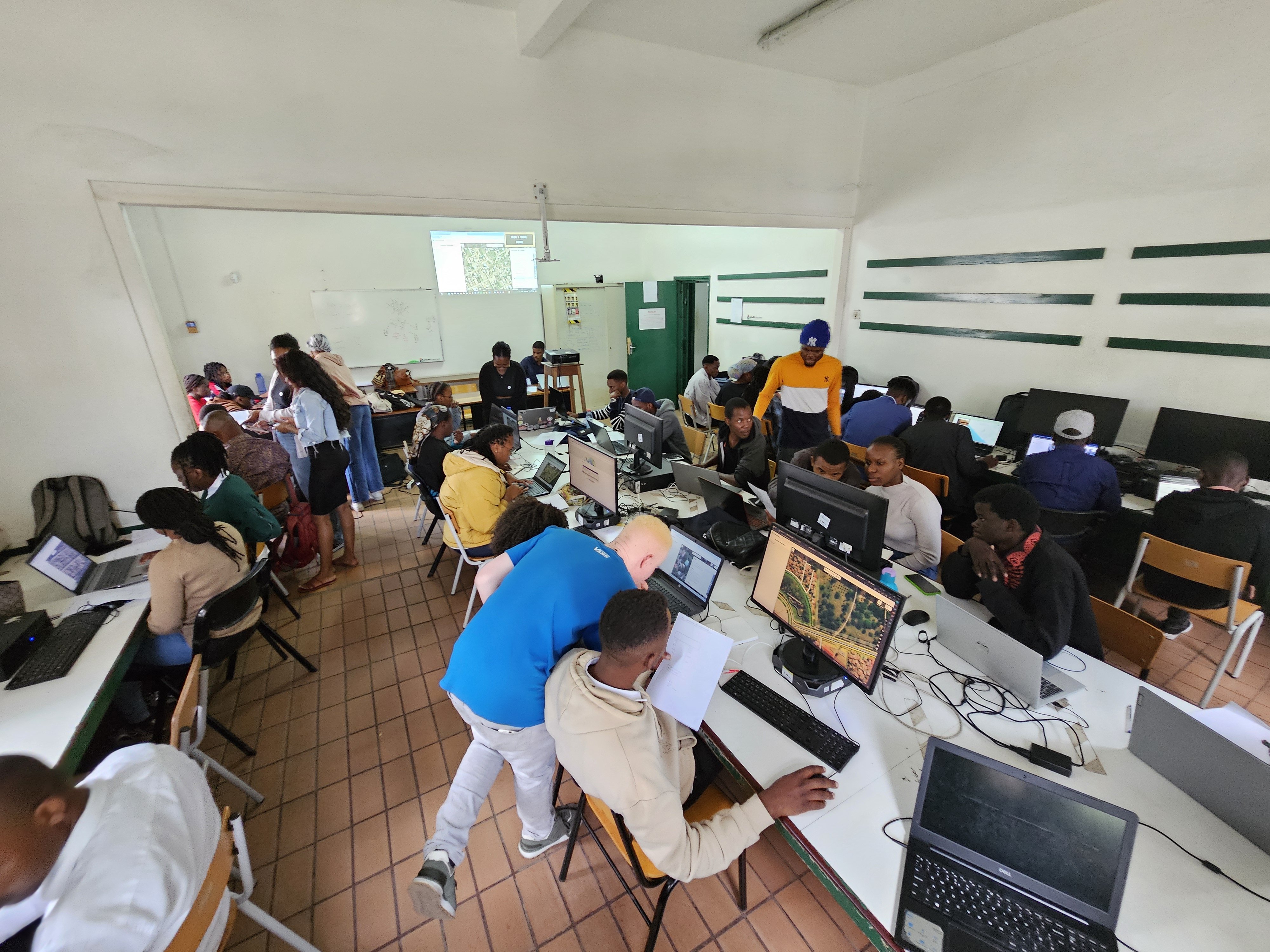
EcoMappers (OSM Rwanda) is a community-led initiative focused on environmental mapping and climate resilience through OpenStreetMap in Rwanda. From April through November 2024, the team mapped buildings, roads, and waterways across the Ngororero and Hindiro sectors—areas prone to landslides and flooding. The Red Cross and Rwanda Mountain Tea are now using this data in their early warning systems for early action and emergency response. Ngororero District Office is using the mapped slopes to identify high-risk areas and plan slope stabilization and tree-planting interventions. The project planted and digitized native trees on the most vulnerable slopes for ongoing monitoring and established a new EcoMappers district chapter so community members can continue this mapping work themselves.
#MapeandoMeuBairro (Mozambique) (Mapping My Neighborhood)** brings together residents and students to map their own communities in Mozambique. The team mapped buildings across flood-affected neighborhoods in the Maputo Metropolitan Area, producing roads and amenities data that planners and University of Lisbon researchers are now using for formal urban planning and infrastructure studies of Maputo's neighborhoods. High-resolution drone orthophotos were uploaded to OpenAerialMap for open access. Students and residents from the mapped neighborhoods were trained in OpenStreetMap tools so they could contribute to and understand the data being created about their own communities.
[Geo-Connect (Zimbabwe)](https://www.geo-connect.org/where-we-work/zimbabwe) ** works on spatial data and local governance. The project mapped buildings, roads, and amenities in Chinhoyi Municipality, and the municipality is now actively using the data for infrastructure management, tax collection based on actual mapped properties, housing regulation, and water and sanitation planning. Residents are referencing the updated maps for navigation, field volunteers have expressed interest in extending the mapping to new developments, and five other municipalities are already seeking to replicate the model.

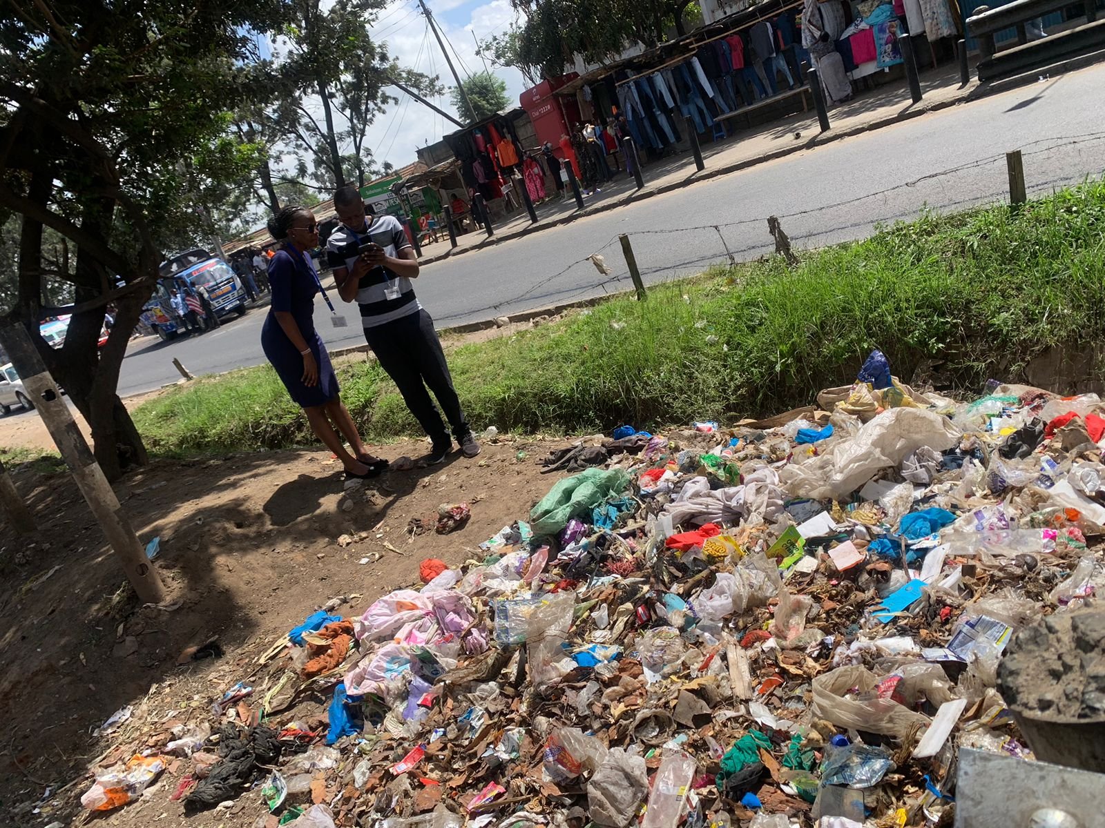
- *NEMA Kenya* is the National Environment Management Authority, responsible for environmental protection and pollution control across Kenya. The team mapped and categorized dumpsites across the Nairobi-Athi-Galana-Sabaki river catchment, documenting their proximity to schools, hospitals, water bodies, and riparian reserves. The Nairobi Rivers Commission is now using this data in pollution source tracking systems to guide river restoration programs. County Governments are using the maps for waste management strategies and route optimization, while NEMA uses the spatial intelligence to assess environmental risks and direct responses to high-impact areas.
- NDMA Eswatini is the National Disaster Management Authority, leading disaster risk reduction and emergency response in Eswatini. The project mapped buildings, roads, and amenities across eight priority towns and produced four hazard risk maps Flood Risk, Drought Risk, Fire Risk, and Landslide Risk that combine mapped infrastructure with hazard-specific data. All data is now imported into NDMA's GIS database for active disaster preparedness planning, emergency response coordination, and early warning systems. The hazard maps are already supporting evacuation planning for vulnerable settlements.
Key Learnings Across All Projects
- Put experienced mappers with new ones. EcoMappers got 97% accuracy when they paired experienced people with volunteers. Geo-Connect had to fix badly offset data—they split into two teams, one mapping new buildings and one fixing old geometry. That fixed the quality problem.
- Talk to communities before you map. #MapeandoMeuBairro trained residents in OSM tools and had them collect local data. They got accurate information because people knew their own area. Geo-Connect started without talking to people first residents resisted because of disputes with the municipality. Once they got clearance letters and explained what they were doing, people participated.
- Get written permission from the local government. Geo-Connect couldn't access sensitive areas until the Municipality issued authorization letters. NDMA Eswatini signed data-sharing agreements with municipalities and now they're using the maps for planning. The Nairobi Rivers Commission was given the dumpsite data and actually incorporated it into their tracking systems. Permission and formal partnerships make the difference between data sitting unused and data being used.
- Accept that parts of OSM are already mapped. NDMA Eswatini found some areas already had data. Instead of stopping, they validated and improved what was there. It was less new data but higher quality.
- When obstacles hit, change your approach. #MapeandoMeuBairro couldn't do fieldwork during political unrest—so they switched to drone mapping of larger areas. NEMA Kenya couldn't reach illegal dumpsites—CBOs took them there. These teams kept working instead of waiting.
