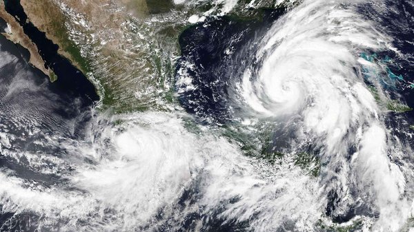
Enabling resilient communities through social impact mapping in Latin America and the Caribbean.
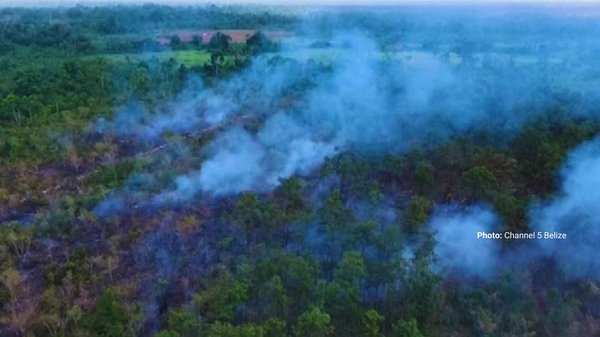
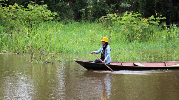
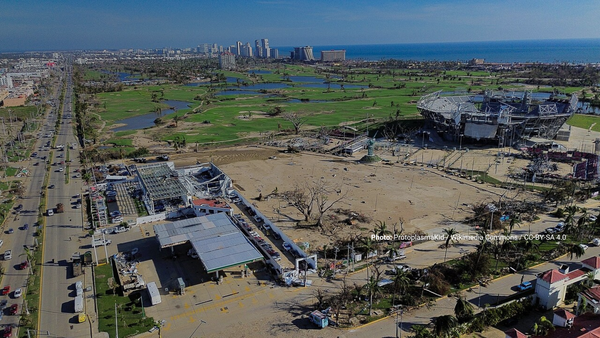
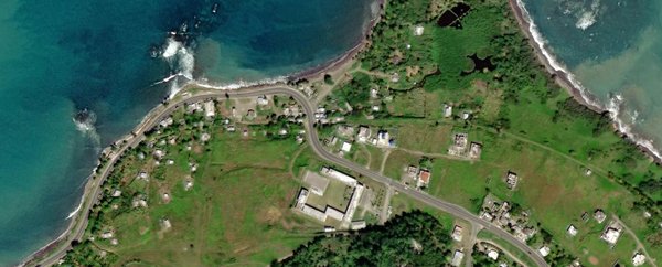
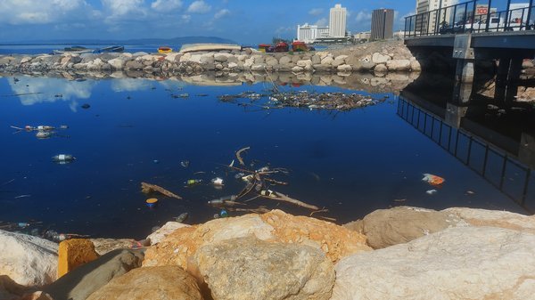
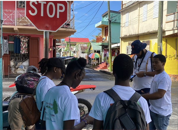
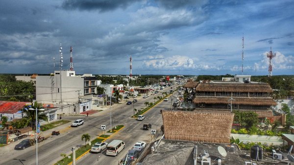
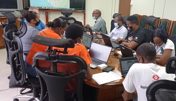
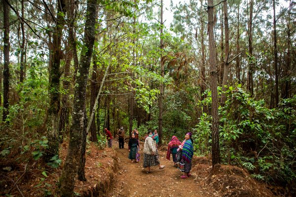
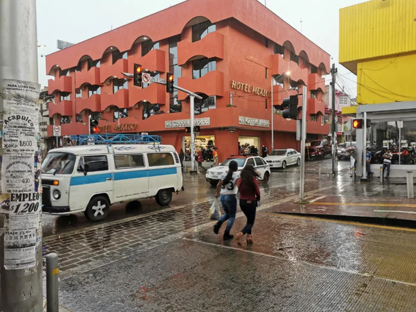
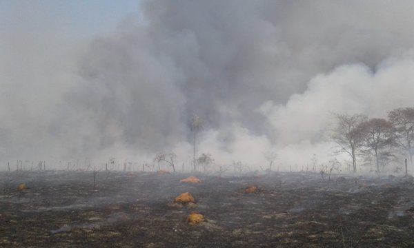
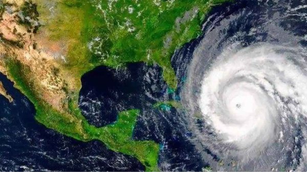
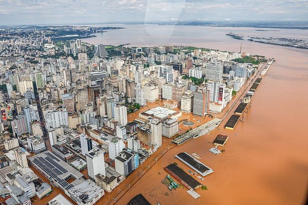
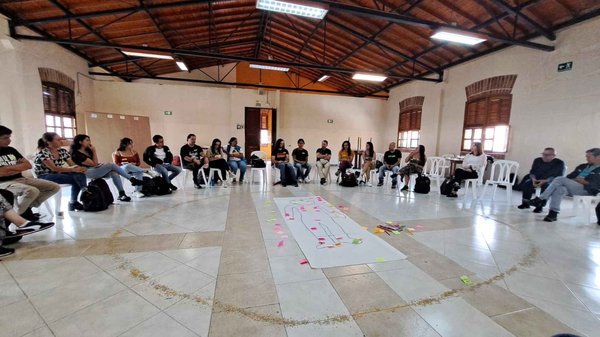
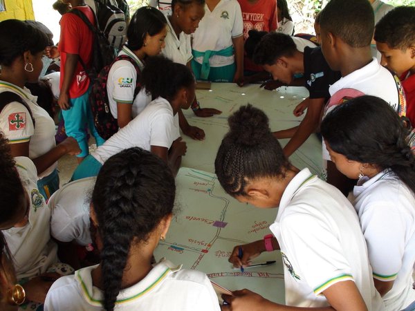
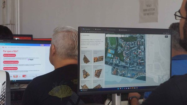
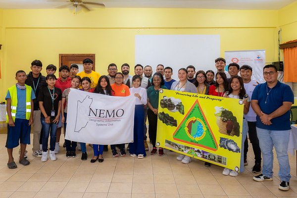
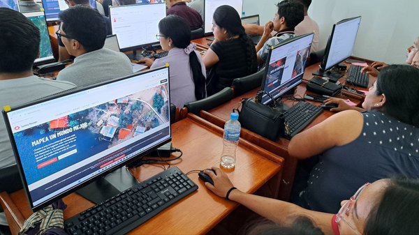
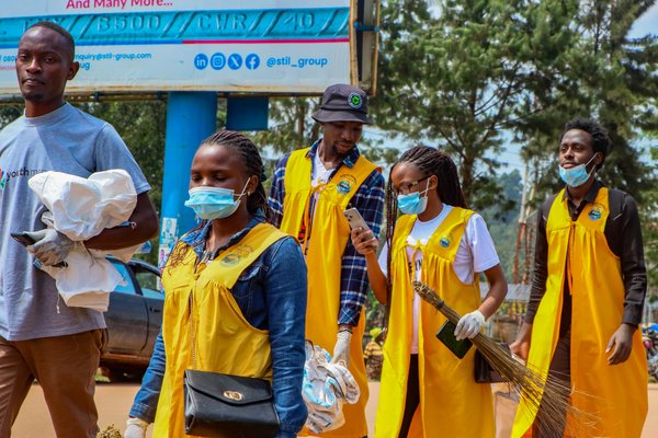
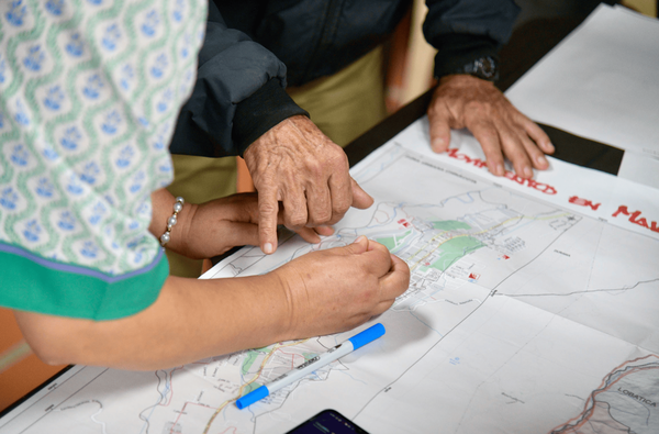
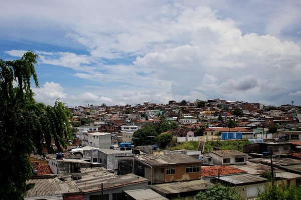
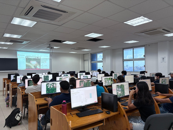
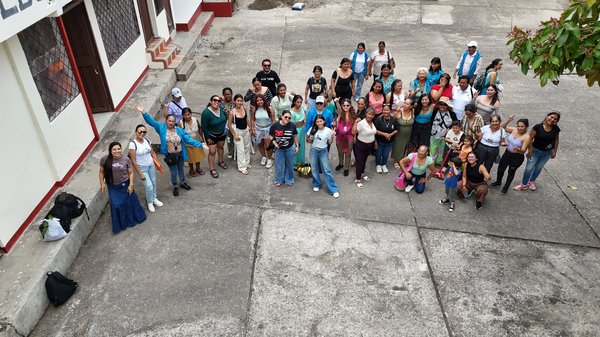
The Open Mapping Hub - Latin America and the Caribbean (LAC) was established in 2023 with the intention to locate actions advancing social impact mapping practices among diverse groups. We believe that social impact mapping can be a catalyst for social and economic change in the LAC region. Mapping isn’t solely about gathering data and plotting it on a map; it’s a collaborative journey involving local communities in every step, granting everyone the opportunity to access and contribute to the map. It’s about co-designing - deciding what and how to map, for what purpose, where and when, and with whom.
To learn more about HOT's work please check our Who We Are page.
Latin America and the Caribbean Projects


Latin America and the Caribbean News
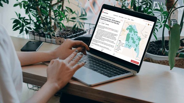
Keep up to date with our latest developments and impact stories from open mapping efforts in Latin America and the Caribbean.
Latin America and the Caribbean Events
Join us for dynamic events where communities and experts come together to share their voices and insights on open mapping and its impact in the region.
Meet Our Partners
Connect with us!
Let’s work together and let’s advance social impact mapping practices in the region.