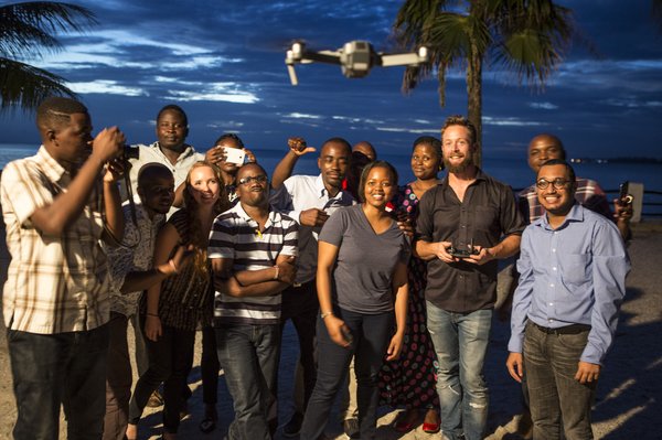
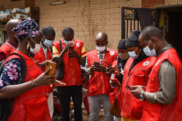
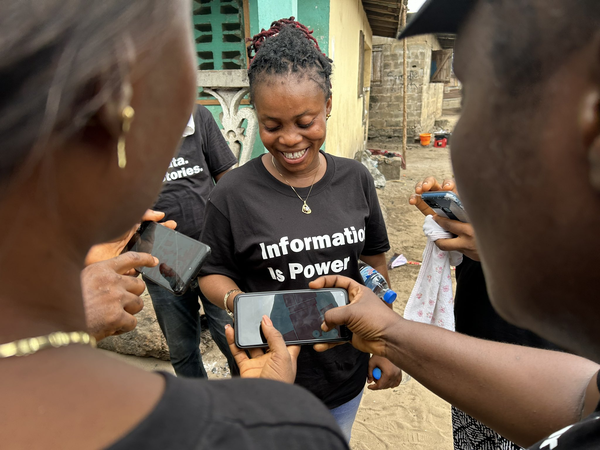
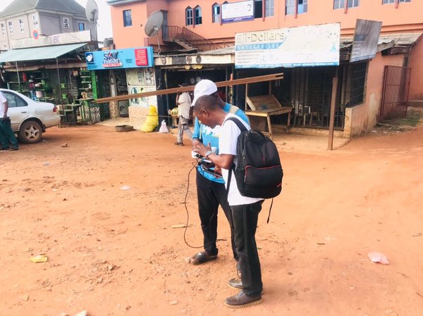
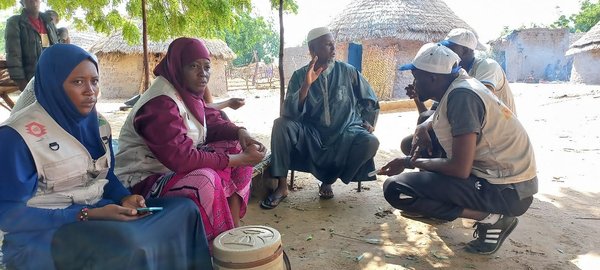
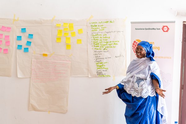
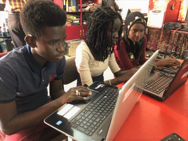
Close
    Search for HOT projects, news, people and jobs.

hot_omh_wna_english_logo_rev_colour_with_tagline-1-2240x1115.png

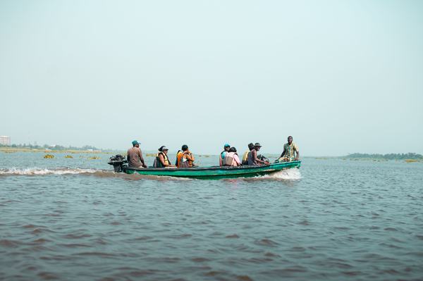
The Open Mapping Hub - West and Northern Africa (WNA Hub) engages open mapping organizations and communities in the region to facilitate the exchange of ideas and expertise across the region, and provide financial and technical support to massively scale local edits on OpenStreetMap. We stimulate and strengthen the leadership of communities to protect their livelihoods, improve their resilience, and preserve their way of life by promoting social justice in accessing open data and free software for their own purposes.

West and Northern Africa Hub Projects Highlights

RUWA - Rural Water Access

  • Niger

WNA-Ruwa.jpg

Projects targeting areas of impact identified by HOT were carried out in Niger to improve access to water in the Sahel region, The RUWA Niger project worked closely with the WASH Consortium, the Ministry of hydraulic, and the local authorities in the Dosso Region. Implemented by OSM Niger, local youth were recruited and trained the conduct Remote Mapping and ground-truthing activities. This project has contributed to add 22,086 buildings, 2210 amenities, and trained 334, and 12 thematic maps have been produced and recommendations have been given for solutions to improve water access in the target region.

Public Health

  • Senegal

WNA-PublicHealth.jpg

Access to quality healthcare for women and children remains a major challenge in the West Africa region, and Senegal is no exception. To promote access to women’s healthcare, the Sunnu Wer Gyi Yaram project targets the Matam Region as a hard-to-reach part of the country that also experiences limited health services. Through national and local authorities, OSM Senegal and Marie Stopes as critical partners implemented the project through consultations, workshops, remote mapping, and field data collection. The project promoted, enlightened, and provided reliable information on the situation of access, supply, maintenance, and overall infrastructure of the health facilities across the Matam Region in Senegal and 93,286 Buildings, 207 amenities have been added to OSM, 33 people have been trained and 10 thematics maps have been produced.

Flooding

  • Liberia

WNA-ClimateChange.jpg

WNAH hub is tracking the flood in Liberia to promote anticipation as the countries of the Gulf of Guinea are exposed to devastating floods and rains, WNAH has addressed data gaps for the preparedness and response efforts of critical stakeholders working on climate effects and sustainable communities. Partnerships between key stakeholders, including government officials and development actors, have been established. By documenting the vulnerability, risks, exposure, and hazards through focus group discussions and data collection, we identified the gaps hindering the effectiveness of Disaster Agencies and the Red Cross in designing awareness and response efforts. The project encompassed 38 towns spread across 4 clans in the Commonwealth district, covering a total land area of 391.377 square kilometers, with 30,000 inhabitants. We successfully trained 75 people, added 18,880 building footprints and 251 kilometers of unpaved roads to the OpenStreetMap (OSM), benefiting five districts. The Commonwealth district has over 2,992 essential facilities, including amenities, healthcare centers, water points, public restrooms, educational institutions, financial and commercial establishments, fish production and storage facilities, waste disposal sites, markets, and burial sites.

Sustainable Cities

  • Togo

WNA-SustainableCities.jpg

This project was developed through a co-creation process with policymakers, emphasizing capacity building and providing them with the tools and approaches to utilize the project’s data effectively. This capacity building enabled policymakers to analyze and interpret the data in various ways, including map creation, thereby enhancing their office operations and planning activities. OSM Togo, a strong partner, successfully executed the project involving remote mapping and ground-truthing data collection. As a result of these efforts, 3,490 amenities, 66,353 buildings and 127 people have been trained, and features have been added to OpenStreetMap (OSM), offering support not only to critical stakeholders but also to the inhabitants and visitors of these municipalities. Including these amenities on OSM is a valuable resource, contributing to improved service delivery and enhanced accessibility within the municipalities.

Follow us on:

WHALandingPage.jpeg Monrovia, Liberia. Photo by: Carter Draper