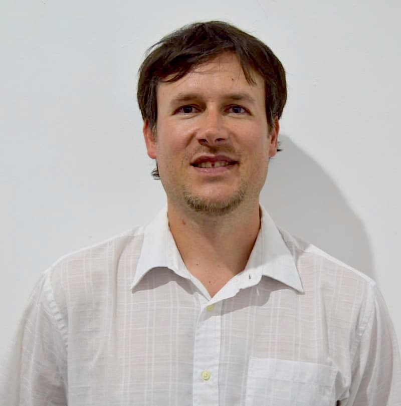
Cristiano Giovando
StaffVoting MemberSenior Technical Product Owner (Imagery Services)
Bio
Technical project manager leading the development of Open Aerial Map (OAM), an open source repository of aerial and satellite imagery.
Posts
OpenAerialMap v2: Acceso más rápido y mejorado a imágenes para el mapeo humanitario
OpenAerialMap está evolucionando para ofrecer un acceso más rápido y confiable a imágenes satelitales y de drones para el mapeo humanitario. Con una nueva infraestructura basada en STAC y herramientas modernas, HOT y Development Seed están reconstruyendo OAM para responder a las necesidades urgentes de mapeo actuales. Descubre cómo esta actualización mejorará la interoperabilidad, velocidad y usabilidad en los esfuerzos de respuesta y recuperación ante desastres.
OpenAerialMap v2: Faster, Better Imagery Access for Humanitarian Mapping
OpenAerialMap is evolving to provide faster, more reliable access to satellite and drone imagery for humanitarian mapping. With a new STAC-based infrastructure and modern tools, HOT and Development Seed are rebuilding OAM to meet today’s urgent mapping needs. Discover how this upgrade will improve interoperability, speed, and usability for disaster response and recovery efforts.
HOT Research Partnership on Crowdsourced Damage Assessment
HOT is partnering with the Stanford Urban Resilience Initiative (SURI), the World Bank’s Global Facility for Disaster Reduction and Recovery (GFDRR), Heidelberg University, and...
Improving Resilience with Aerial Imagery
Earlier this month Nate and I went to Suva to lead the kickoff meeting of the Pacific Drone Imagery Dashboard (PacDID) project funded by...
200 Kids Map Swaziland for Malaria Elimination
On Thursday, March 3rd 2016, a world-record humanitarian mapathon took place at Politecnico di Milano in northern Italy. Two-hundred and twelve 10-year old children from...