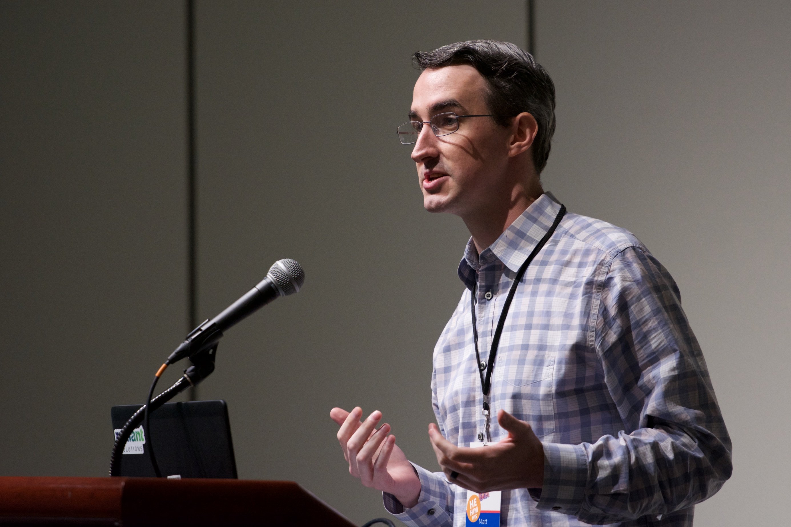
Matthew Gibb
United States
Matt is a GIS and remote sensing professional based in the Washington, DC area. He spends much of his time validating projects and figuring out new and useful workflows to empower more users to become validators. Formerly a GIS officer with the American Red Cross,he provided GIS services for the Haiti Assistance Program, wider International Department programs, and international disaster response, while also providing mobile data collection training as part of the Missing Maps project. Matt's interests include increasing the usage of remotely sensed imagery, both from satellite and UAS sources. He has a background in using GIS for emergency management, previously working as GIS reservist for the Federal Emergency Management Agency.
