Map4Mangrove - Collaborative Mapping for Mangrove Conservation and Climate Action - Indonesia
Mangroves play a crucial role in coastal protection, biodiversity conservation, and carbon sequestration. To enhance mangrove monitoring efforts, Open Mapping Hub - Asia Pacific is partnering with organizations working in biodiversity and conservation to integrate open geospatial data into their work.
Monitoring Gaps in Mangrove Conservation
In 2018, a tsunami struck the Sumur and Panimbang Subdistricts in Pandeglang, Banten, Indonesia. This caused severe damage in several mangrove areas, underscoring the urgent need for rehabilitation.
In response, Yayasan Lestari Alam Kita (SALAKA), through a grant from the Indonesian Biodiversity Foundation (Yayasan KEHATI) and funding support from PT Asahimas Chemical, is implementing the Blue Carbon program—a mangrove rehabilitation initiative launched in 2021, covering 14 hectares in the affected subdistricts.

Despite ongoing restoration efforts, there is still limited availability of integrated, open geospatial data to support monitoring, reporting, and decision-making. Without a data-driven approach, achieving long-term mangrove ecosystem resilience and maximizing biodiversity and disaster mitigation benefits remain a challenge.
Open Mapping to Transform Mangrove Monitoring Efforts
Through the Map4Mangrove project, Open Mapping Hub - Asia Pacific (AP Hub) collaborates with KEHATI to bridge gaps in mangrove monitoring by integrating open mapping technology, tools, and data. Specifically, it will support the Blue Carbon program through:
- Mangrove rehabilitation monitoring and reporting
- Disaster risk assessment in the project areas
- Socio-economic analysis
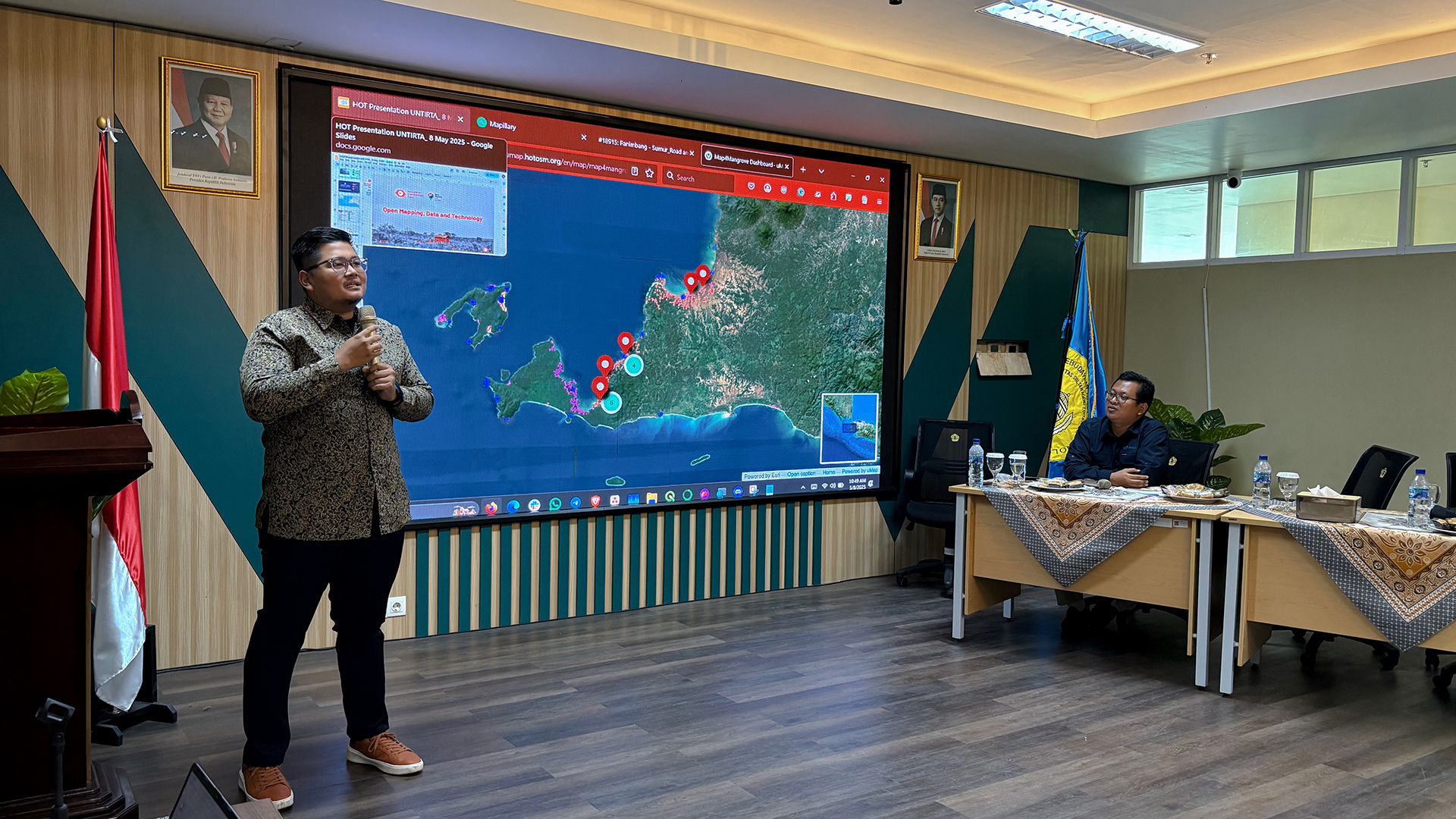
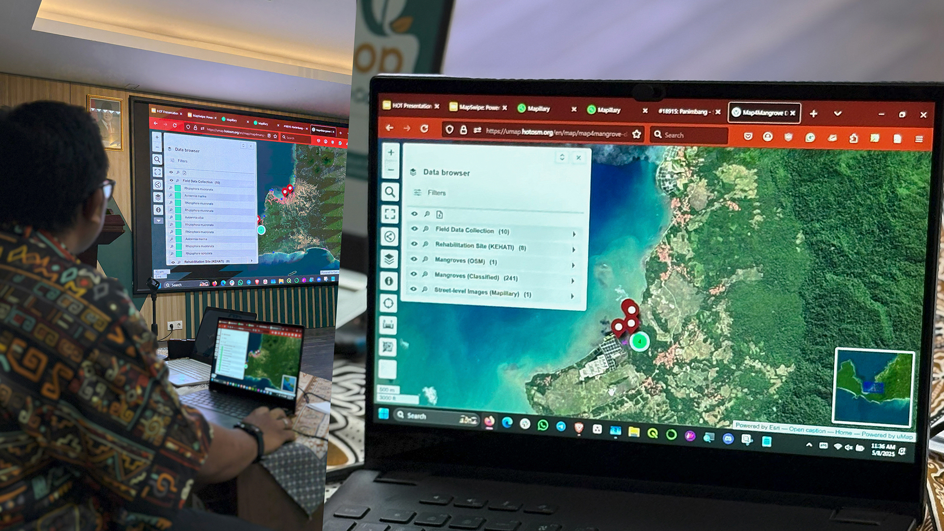
A key output of the project is a centralized, interactive digital dashboard that visualizes critical data. This data will be used by local stakeholders, including the Pandeglang District Government, to strengthen conservation strategies.
Improved geospatial insights will also aid collaboration among stakeholders, ensuring more efficient permitting, ecosystem recovery, and disaster resilience. Ultimately, integrating open mapping solutions empowers stakeholders with the necessary tools to sustain and scale mangrove restoration efforts across the region.
Collaborative, Multi-Stakeholder Approach for Sustainable Monitoring

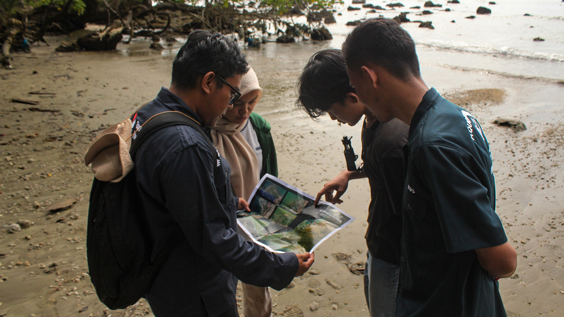
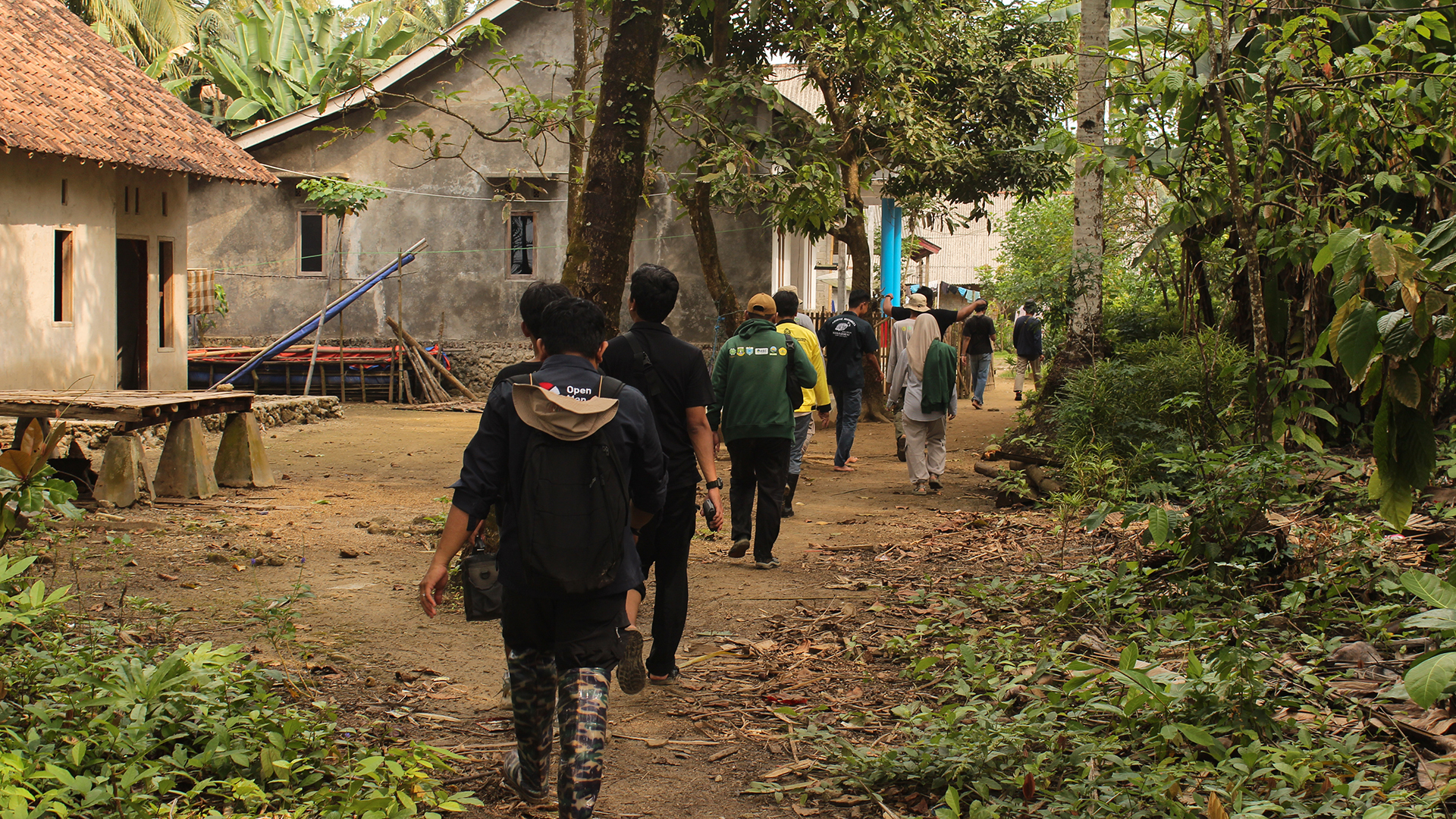
Built on the principles of open mapping, Map4Mangrove applies a participatory approach, where involvement of partners, stakeholders, and local communities are key throughout all of its phases.
This inclusive process is essential to the long-term sustainability of the monitoring system. In addition to fostering hands-on experience and building technical capacity, it strengthens local ownership and ensures relevance to local contexts and community needs.
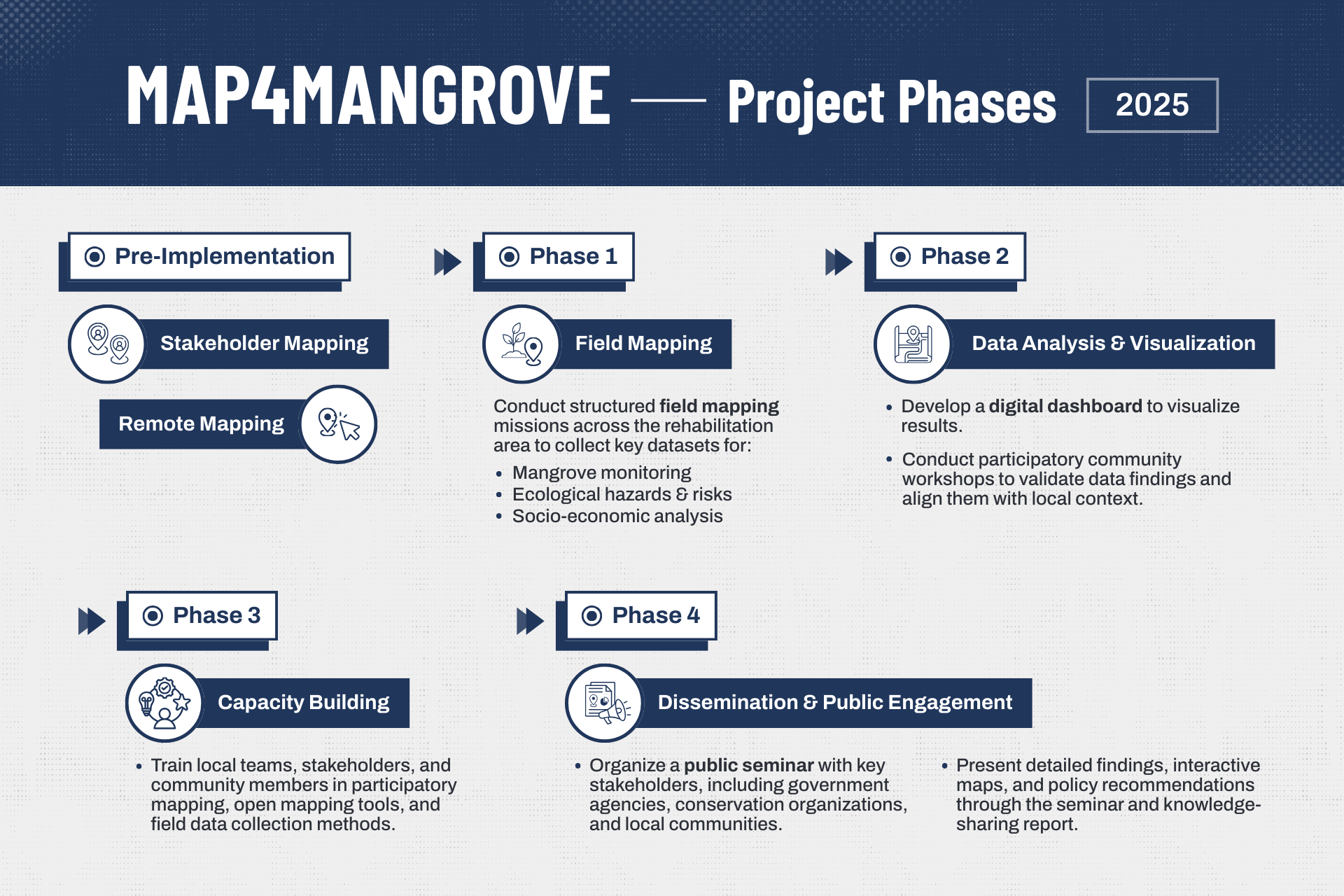
Project Phases
Current Output (July 2025)
1) Stakeholder mapping
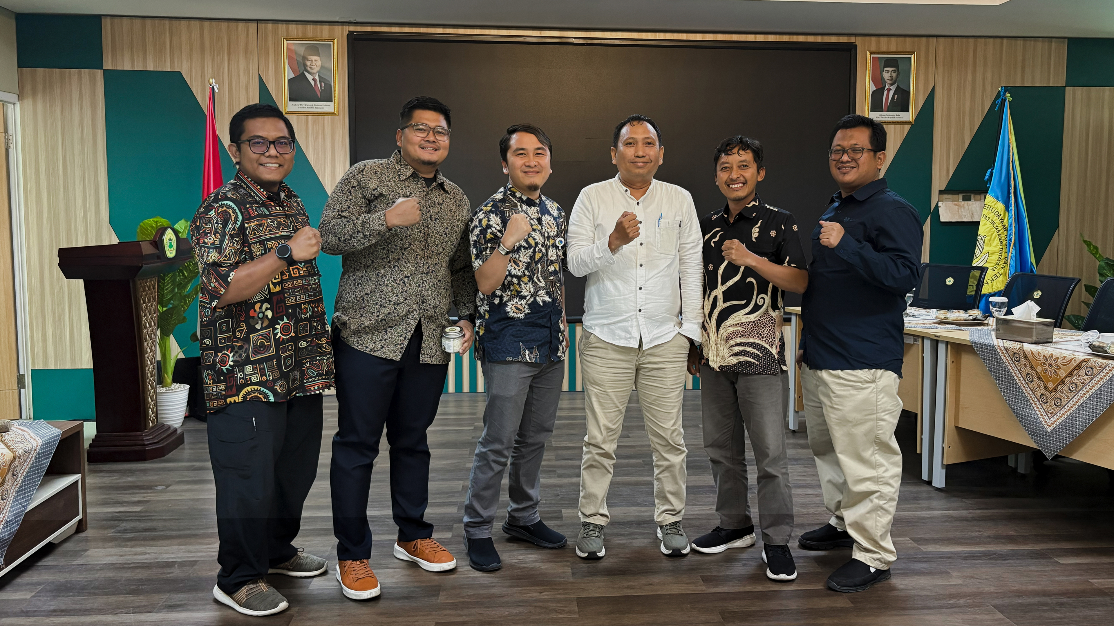
In May 2025, we shared how open mapping can transform the way we monitor mangrove conservation efforts at the Blue Carbon program stakeholder workshop. Read more in this article.
2) Completed remote mapping for buildings and roads around the project area.

3) Field mapping
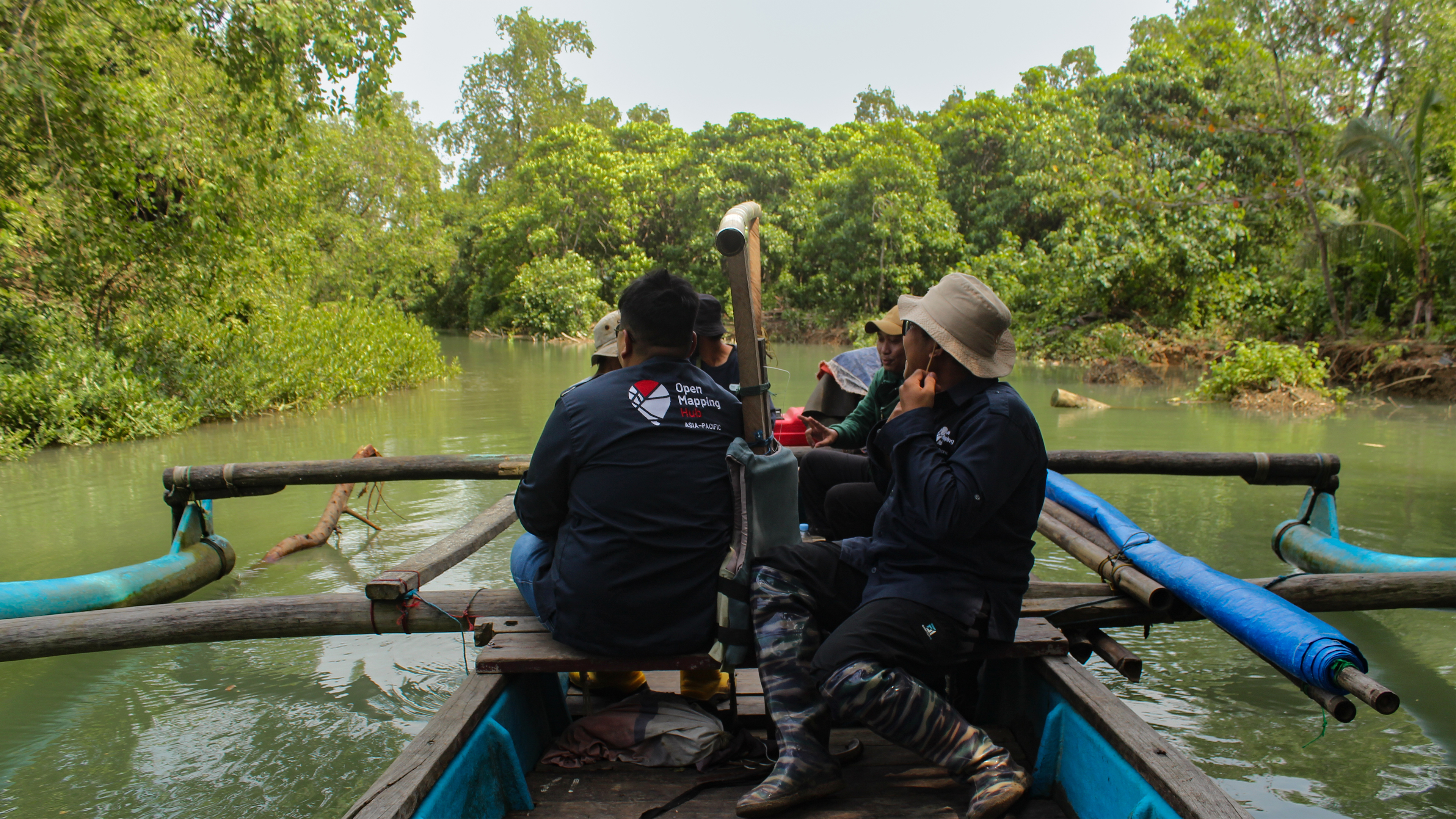
At the end of July 2025, we conducted a two-day field mapping activity with partners, university students, and local community representatives. Together, we explored, mapped, and documented five mangrove rehabilitation sites.
The activities included:
- Data collection using HOT Field Tasking Manager and KoboCollect
- Street-level imagery using Mapillary
- Aerial mapping using drone
The data collection questionnaire was developed with SALAKA to ensure its direct relevance to the identified needs and local context. In addition to information on mangrove growth and condition, the team gathered data on site accessibility, land administration, tidal information, socio-economic data, and village profiles and local potential.
Following this milestone and everyone’s collective work so far, we are now transforming the collected data into impactful visualization and analysis. Follow our journey and stay updated with the latest news from the project through our social media!
Take a virtual tour of the rehabilitation sites on Mapillary, captured during field mapping:
Explore photos from the project:
- Stakeholder mapping at the Blue Carbon program workshop (May 2025)
- Introduction to open mapping tools with university students at UNTIRTA (July 2025)
- Field mapping of mangrove sites in Panimbang and Sumur, Banten (July 2025)
Cover photo credit: Tony Liong / Open Mapping Hub - Asia Pacific
Recent news from Map4Mangrove - Collaborative Mapping for Mangrove Conservation and Climate Action - Indonesia (View all news)
Advancing Mangrove Monitoring in Indonesia Through Open Mapping and Collaboration
Effective conservation monitoring requires reliable, open spatial data. Through the Map4Mangrove project, Open Mapping Hub - Asia Pacific partners with organizations engaged in mangrove rehabilitation in Indonesia to strengthen their monitoring efforts through open mapping.


