Open Geospatial Technical Support for Humanitarian Organizations In Tanzania

The Humanitarian OpenStreetMap Team (HOT) Open Mapping Hub for Eastern and Southern Africa (ESA Hub) collaborated with Caribou to provide humanitarian organizations with hands-on support in integrating geospatial data and tools into the working processes.
Background and Context
The Humanitarian OpenStreetMap Team (HOT) Open Mapping Hub for Eastern and Southern Africa (ESA Hub) collaborated with Caribou to provide humanitarian organizations with hands-on support in integrating geospatial data and tools into the working processes. As part of their Tools for Data-Driven Humanitarian Action project, the main objective of the project was to improve contextual awareness so that organizations could be better prepared for crisis events triggered by weather events.
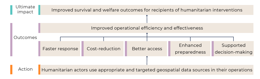
Hypothesised pathways through which geospatial data can contribute to operational efficiencies, ultimately leading to better outcomes for recipients of humanitarian interventions. Credit: Caribou. Read full report [here](https://caribou.global/publications/impact-synthesis-of-geospatial-data-on-humanitarian-operations-methodology/)
Addressing a Critical Need
The project was implemented in three phases. Phase one involved a group training session to introduce representatives from selected organizations to Earth Observation technologies and Geographic Information System (GIS). The session also facilitated peer-to-peer knowledge sharing about their work, objectives and data challenges.
The second phase was a scoping assessment. This involved a one-on-one walkthrough of each organization’s current processes to identify potential areas where geospatial technologies could support better decision-making for improved preparedness and address common needs during the response stage of the humanitarian cycle.
The final phase was to provide technical assistance. This included identifying open-access data and technologies and offering training and support to integrate them into the organization’s decision-making processes and systems
Partner Support: UNHCR Tanzania
Caribou launched an open call for humanitarian organizations. Among the applicants was UNHCR Tanzania, which operates refugee camps in the Kasulu and Kigoma regions.
UNHCR Tanzania, along with its partners, the Danish Refugee Council (DRC) and the Norwegian Refugee Council (NRC), identified a need to enhance their capacity to use geospatial data. Their goal was to improve Water Sanitation and Hygiene (WASH) initiatives, environmental management and resource optimization.
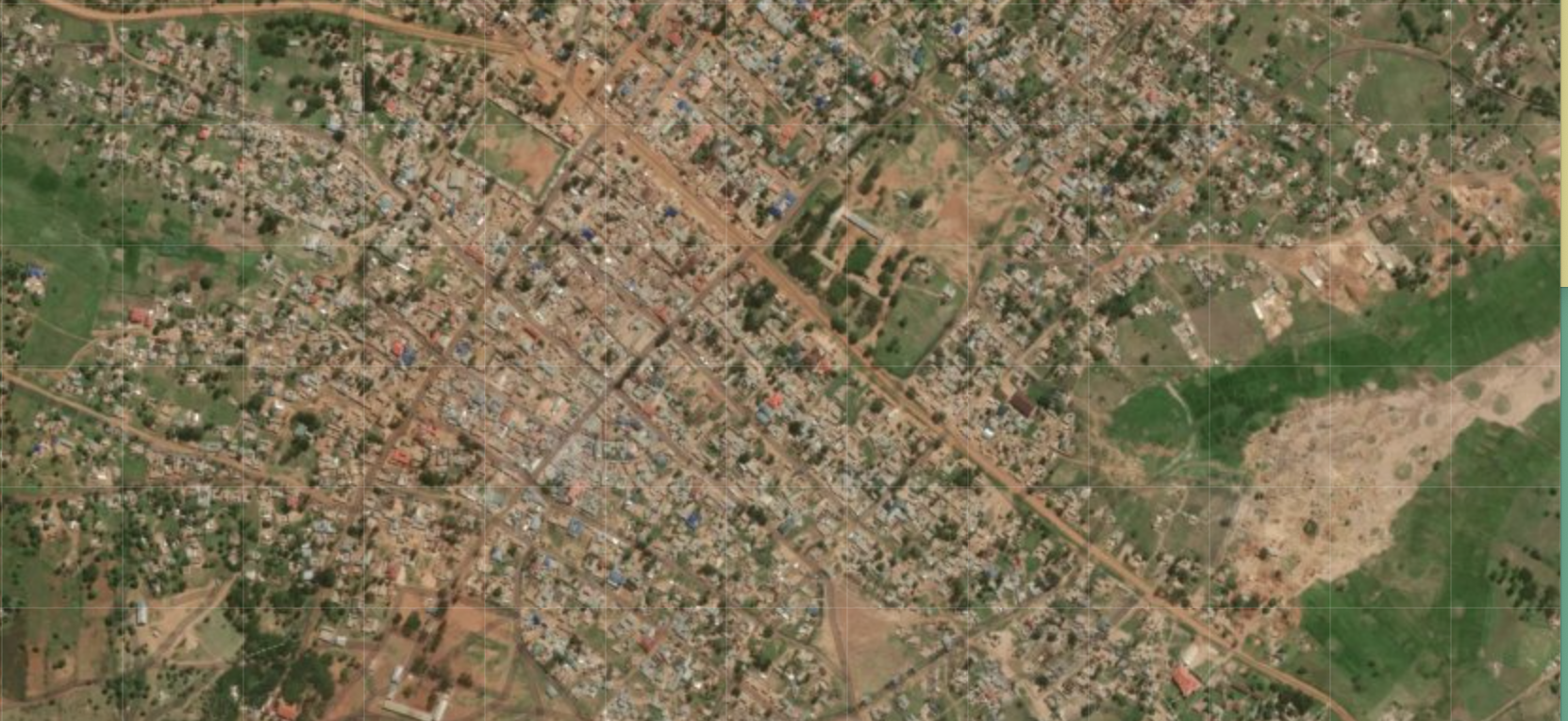 screenshot of Nyarugusu refugee camp from OpenAerialMap
Building Capacity Through Open Geospatial Tools
To address these needs, the ESA Hub, with support from OpenMap Development Tanzania (OMDTZ), developed a targeted training course for the team in Kasulu. The intensive two-week training brought together officials from various sectors, including WASH, livelihoods, camp management, environment, shelter and energy.
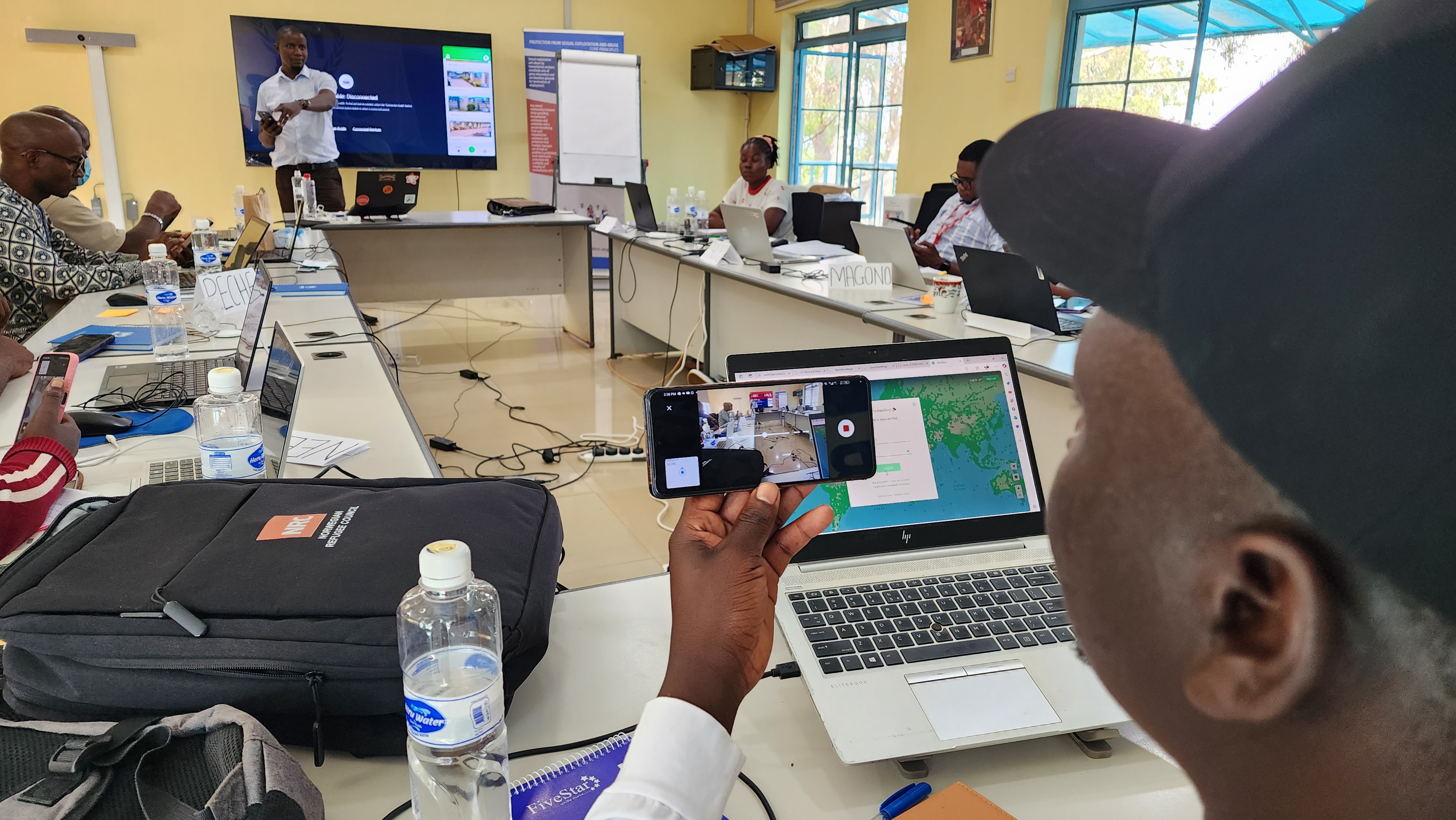 *A team of trainees from UNHCR, NRC and DRC during a 10-day intensive training session at the UNHCR HQ offices at Kasulu. Photo credit: Humanitarian OpenStreetMap Team *
The blended training was centred on equipping the team with practical skills on the use of openly available data and the use of geospatial tool such as
- OpenStreetMap (OSM), for collaborative mapping and data contribution.
- KoboToolbox & OpenDataKit (ODK), for field data collection and survey design.
- Quantum GIS (QGIS) & ArcGIS Pro for spatial analysis, visualisation, and map creation.
- OpenTopography & Mapillary, for accessing and utilising diverse open geospatial datasets.
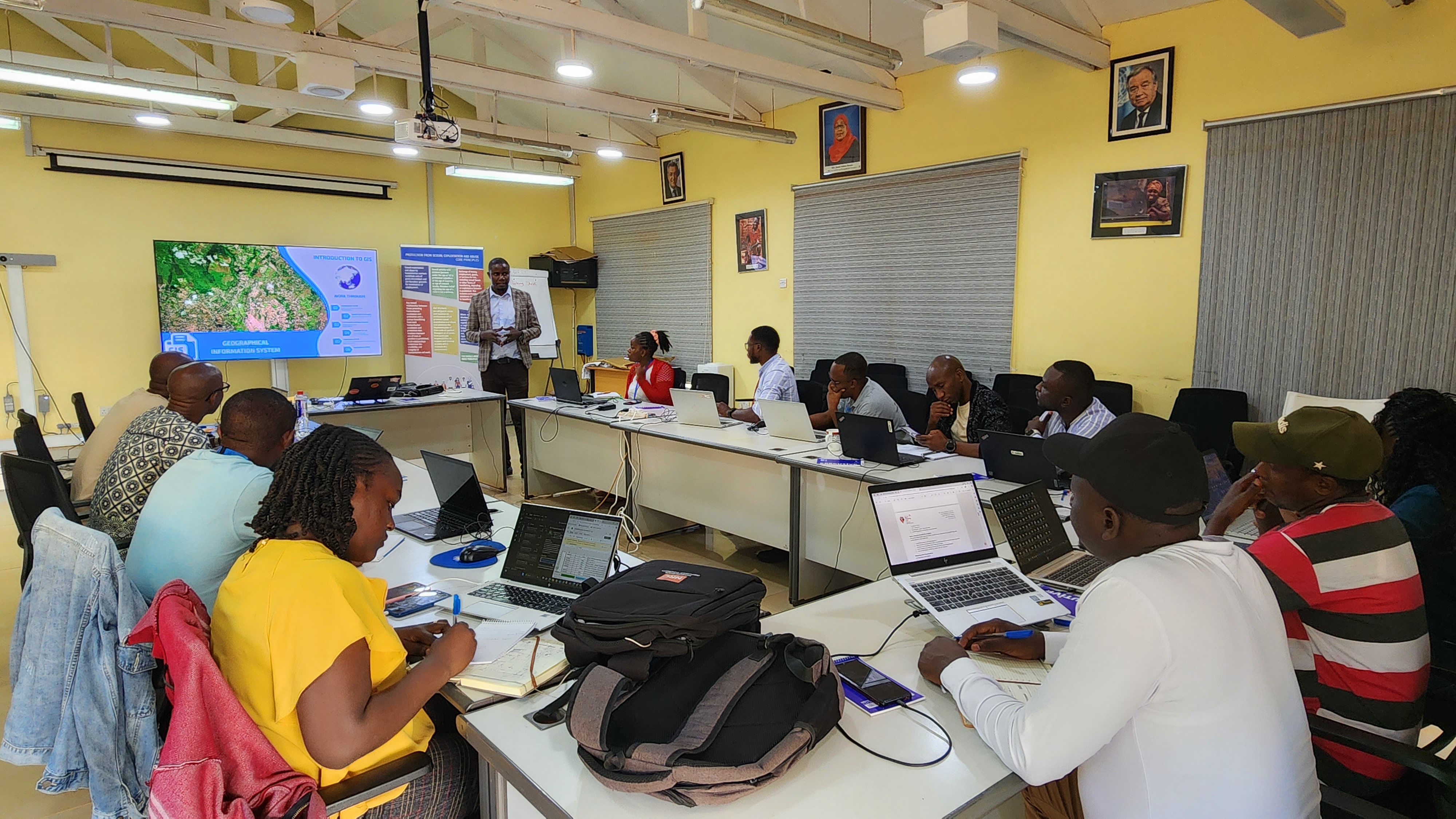
During the sessions, foundational topics such as acquiring and managing spatial data, remote sensing, and developing high-quality cartographic products were covered. As part of the training, the team mapped buildings and roads within the Nyarugusu refugee camp. The data was contributed directly to the OpenStreetMap (OSM) using HOT’s Tasking Manager tool alongside the iD Editor and JOSM editing tools.
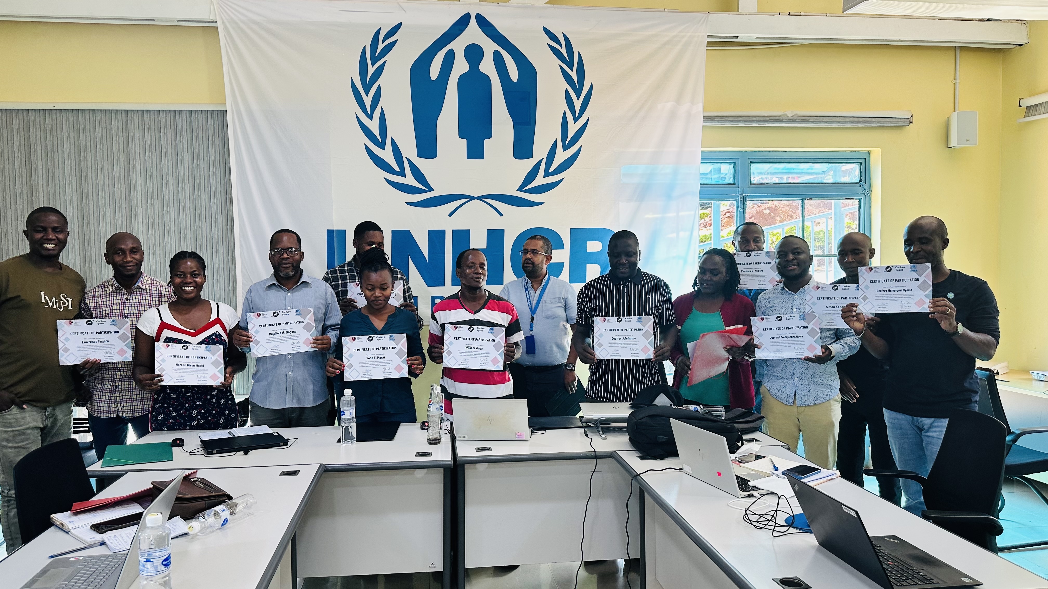
A group photo with successful participants displaying certificates of merit after a 10 day training session on geospatial technologies at UNHCR HQs Kasulu
.jpg)
The OSM data of Nyarugusa can be downloaded from the HOT Export Tool here.
.png)
Looking Ahead
ESA hub is making a significant step towards supporting humanitarian organizations in adopting the use of open geospatial technologies for decision-making and integrating it into their workflow and more effective humanitarian aid.
ESA Hub is committed to enhance its collaborations and partnerships for continued development of critical geospatial technologies and Earth Observation.