The First State of the Map Tanzania - 2017
Posted by Innocent Maholi • Dec. 13, 2017

On the 8th to 10th December Crowd2Map collaborated with Ramani Huria to host the first state of the map conference in Dar es Salaam, Tanzania. We initially expected 150 participants but the number of attendees exceeded our estimates and reached 170 attendees from across 10 countries: Malawi, Kenya, Uganda, Rwanda, Zambia, Germany, America, Canada, Italy and Tanzania itself. It was an event where people from diverse background came together to train, network and interact.
Participants
The great success of the conference came from the diverse background of the participants. The attendees ranged from University/college students, Youth Mappers, community mappers, researchers, Government officials, US Department of State (PEPFAR Program), organizations interested in using mapping to overcome different challenges, programmers and HOT personnel. All of these participants were very keen to learn from each other, network and understand how mapping can be a crucial part of their daily activities.

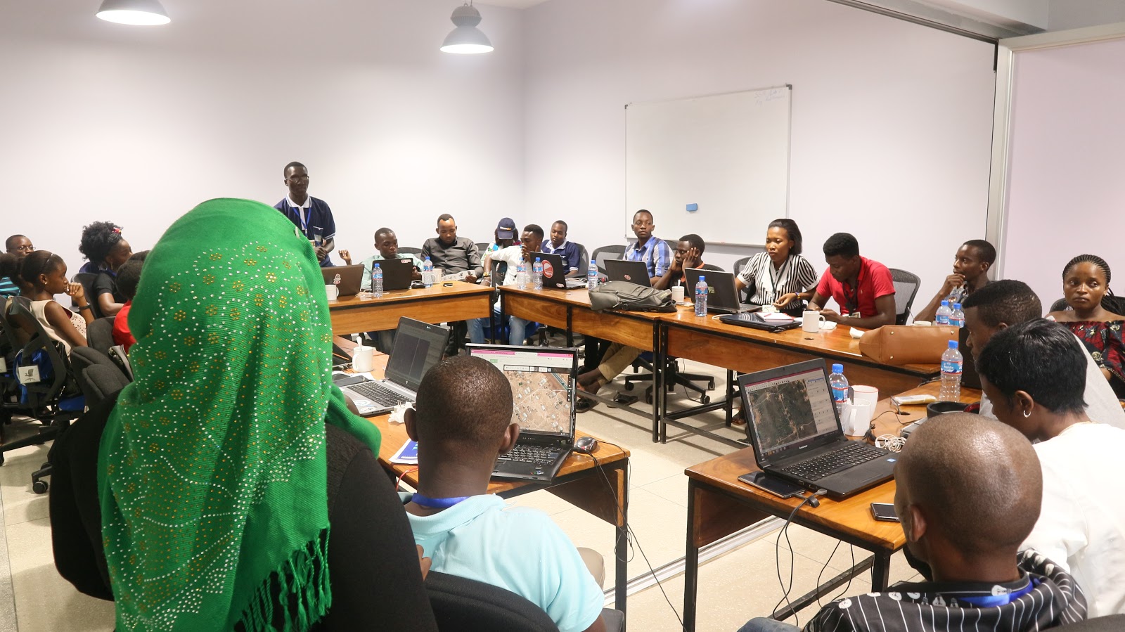
Presentation session
The Ramani Huria team did a great job in organising the conference and Youth Mappers from different chapters were keen in assisting the newbies to the mapping. It was good to see one of the Youth Mappers from Uganda act as a training lead for the attendees on how to use JOSM and iD Editor in mapping.
Lightning Talks
There was a series of presentations to demonstrate why maps are necessary and how they are helping across multiple countries and projects. There was a presentation from PEPFAR describing how mapping is helping with their HIV/AIDS eradication programme. Ramani Huria spoke about their ongoing mapping project on areas most vulnerable to flooding and how the maps will be utilised for resilience and decision making. Map Kibera from Kenya presented on how mapping is helping in the provision of social services such as security, sanitation, health and education. The Kigoma Regional Executive Director briefed on the WASH (Water Sanitation and Hygiene) programme and how mapping is helping in the provision of social services in Kigoma. Researchers from Heidelberg University in Germany who had participated in the development of the application Mapswipe also gave a brief talk on how this app is making mapping easier.

Country Manager- HOT Tanzania Mr Ivan Gayton gave a brief talk on the Mini-Grid project that is aiming at mapping villages viable for electrification by using solar power panels. This project is aiming to map villages that do not yet have electricity and help identify sites appropriate for renewable energy mini-grids. These maps can help solar operators move quickly to give access to renewable electricity to more Tanzanians. This is the power of what maps can do!
After these lightning talks there was discussions and networking among different Youth mapper chapters, who shared their experiences and discussed together what they can do as chapters.
Mapathon
A mapathon is a coordinated mapping event. The public is invited to make online map improvements in an area to improve coverage and to help disaster risk assessment. Mapathons use an online site for storing map data, i.e. OpenStreetMap. During the conference we conducted a mapathon to map Manyoni District- a task created to map female genital mutilation. Participants were introduced to the OSM Tasking Manager and then trained how to map using Id Editor and JOSM software.
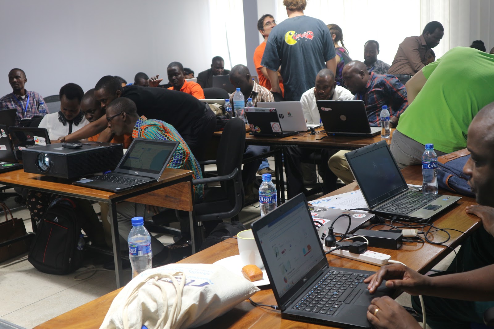
Workshops: QGIS, Map Swipe and Maps.Me
Participants were then introduced to the amazing open and free software that is used in mapping. People were very interested to learn about QGIS, but a day of training is not sufficient to make one able to produce a map in QGIS. What we were able to do, and which was a great success, was installation of the QGIS software to attendee’s computers, and making sure that they all know how to add shapefiles and the data that were used to make maps.
During QGIS session there was also a short presentation on drone mapping and the plan to map rural Tanzania using drones. The concept was presented very well by Mr Ivan Gayton where he highlighted the real need of the drone to help with emergency preparations. To have a complete and effective response cycle you need basemaps and the location of facilities. To build these basemaps you need to collect data from communities based on imagery that will be used for data collection. To have imagery you need a drone which helps complete the cycle by providing us with good imagery for data collection and hence these communities can better access help.
Share
