Activity Summary of PDC Indonesia 2020
Posted by Adhitya Dido Widyanto • Dec. 22, 2020
We are very close to the end of 2020. Pacific Disaster Center (PDC) Indonesia has many magnificent stories to share and activities that we have accomplished in 2020. We have categorized our activities into three different categories: Capacity Development, COVID-19 Response, Community Engagement.
Capacity Development
We had several activities that focus on capacity development for university students and government institutions as well.
1. University Training
OSM Training for Youthmappers Makassar
On 6-8 March, we went to Makassar, South Sulawesi, to hold three days of on-site training for the 17 students of Universitas Negeri Makassar. Our goals were increasing the students’ capacity in mapping using OpenStreetMap and increasing their mapping activity.
Therefore, we organized a mini mapping competition for the students to motivate them to add more OpenStreetMap data. Also, to celebrate International Women’s Day on March 8, we added the thematic hashtags #WomenMapIndonesia and #LetGirlsMap when uploading changesets on JOSM.

OSM Live Training for Five Universities
Since the COVID-19 outbreak in Indonesia, we shifted our training method to the online training platform using Odoo. We have been using this platform for live training events for five different universities in Indonesia: * Universitas Indonesia, 17-22 April * Universitas Gadjah Mada, 14-18 September * Universitas Muhammadiyah Surakarta, 28 September-2 Oktober * Universitas Negeri Padang, 12-16 Oktober * Institut Teknologi Sumatra 2-6 November
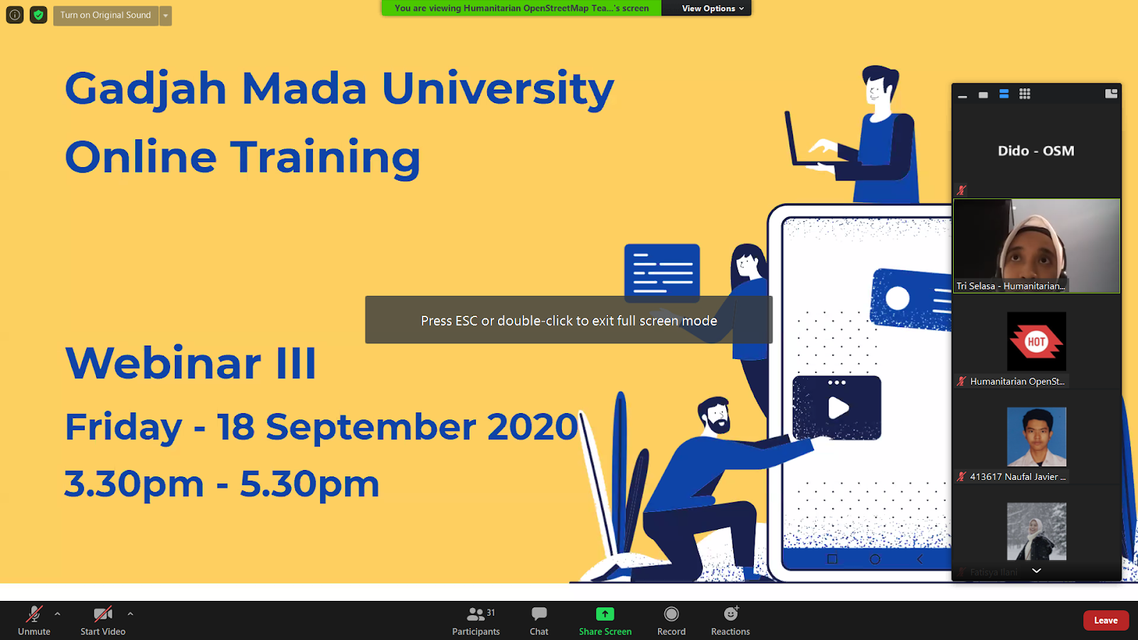
We had 50-70 participants on average for each training, which means that during the pandemic, we could still train more than 350 university students across the nation. The training itself was about OSM for Beginners, and also we have a special session where we can introduce a global university organization, Youthmappers.

We were delighted that one of the Youthmappers ambassadors from Bangladesh, Maliha Mohuidi, can present his talk at our training session on Universitas Gadjah Mada.

Government Training
Training for National Disaster Management Agency (BNPB)
In the past few years, HOT Indonesia has had a strong partnership with the BNPB, especially when it comes to disaster risk reduction and mapping using OpenStreetMap.

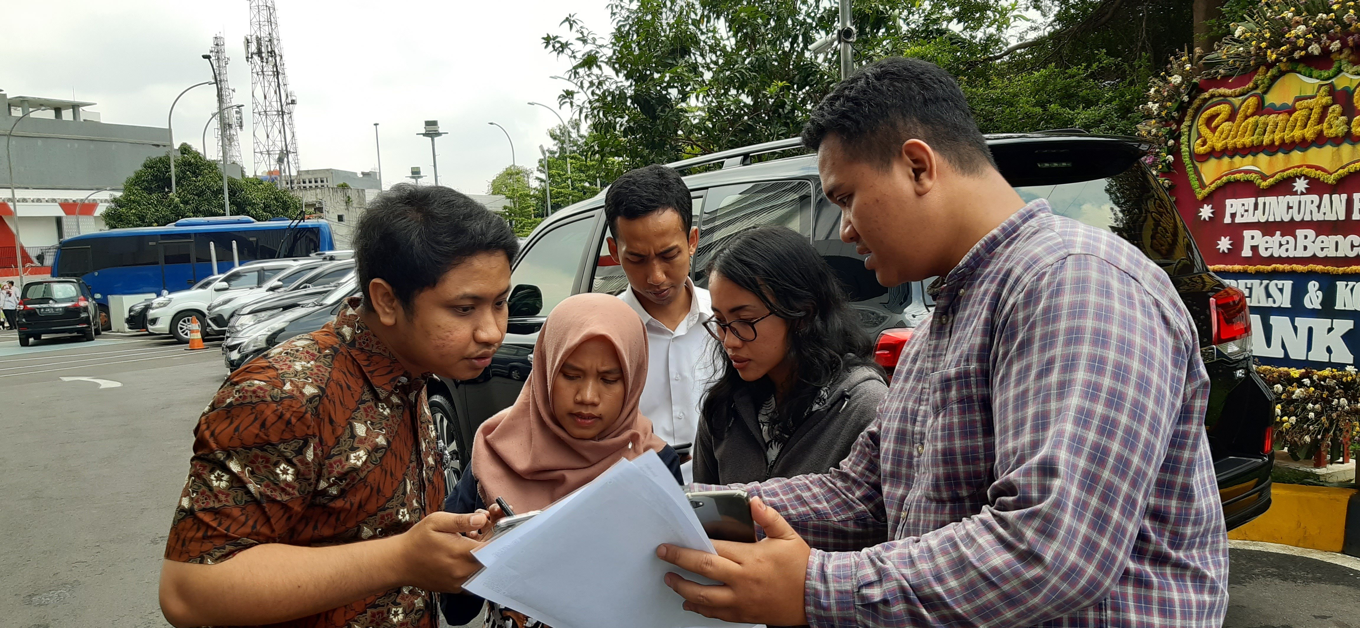
To maintain this strong relationship, we conducted a one-day training on 20 January to teach the BNPB staff how they can download and use the data from OpenStreetMap and OpenAerialMap (OAM). The training was held at the Graha BNPB (BNPB office) and was attended by 13 participants.

PDC InAWARE Training
BNPB collaborated with USAID through Pacific Disaster Center (PDC), and HOT conducted training to give the big picture on city-wide lifeline infrastructure mapping and planning. This needs to be done so that any city in Indonesia is able to conduct a city-wide mapping project and has detailed, complete, and updated spatial data.
PDC and HOT was the facilitator in transferring the training material, field data collection, InAWARE platform operation, and mapping methodology planning skills.

After successfully conducting the training in different cities including Padang, Medan, Pontianak, and Denpasar, Jakarta was the final city for training. This activity was divided into two different sessions. The first session was held on 17-19 February at Graha BNPB, and the second one was held on 11-12 March.

COVID-19 Response
Handwashing Station Mapping Platform
COVID-19 has changed everything. COVID has made us more concerned about our health. Washing our hands has become a new normal for everyone. Therefore, we needed a map where we could see the distribution of handwashing stations nearby.
USAID, in collaboration with Pacific Disaster Center (PDC) and Humanitarian OpenStreetMap Team (HOT), initiated the mapping of handwashing stations in DKI Jakarta for incorporation into BNPB's national hazard monitoring application, InAWARE, and other mapping applications.
The Ushahidi platform was selected as the tool to collect information using crowdsourcing due to the ease of reporting handwashing stations using only a smartphone or laptop.
The mapping activity aimed to identify locations and track the distribution of handwashing stations in Jakarta. Started on 20 May, this activity has succeeded in gathering more than 1,600 handwashing stations across the nation (updated in October 2020).

The data itself can be accessed by the public for free using the Humanitarian Data Exchange (HDX).

COVID-19 Mapathon
Public Mapathon
We successfully held our first virtual training event after the first COVID-19 outbreak in Indonesia. While we have been fully working from home, it hasn't stopped our spirit of sharing our knowledge about mapping using OpenStreetMap!
We organized two sessions of webinars for the public, and it was free so everyone could join. In these webinars, we wanted to give a message to the public that people can still help to fight against COVID-19 through mapping. Our target has been to add more information on health facilities in Indonesia so it can be used as a reliable source of information for the public.
The first webinar was held on 3 April, and we talked about MapRoullete. With MapRoullete, people can contribute to the map and complete the health facilities nearby.

The second webinar was held on 8-9 April. In this session, we explained another method to map using Healthsites.io.
From this event, we calculated around 21 users contributed to 142 changesets and 7,041 map changes, as we can see from resultmap.neis-one.org. These 142 changesets included: * 451 buildings mapped that consist of: * * 398 hospital buildings, * * 11 clinic buildings, and * * 42 general buildings * 51 km highways mapped
All of these edits happened across Indonesia as we can see in this map below:

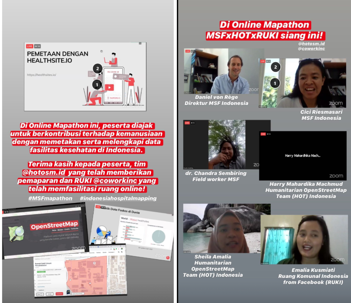
MSF Indonesia
We collaborated with Médecins Sans Frontières (MSF) Indonesia and Ruang Komunal Indonesia (RUKI) from Facebook to hold a Mapathon ‘Mapping Party’.
This event was held on 18 May virtually to support the campaign to #stayathome. This event was held as a humanitarian response to the fight against COVID-19.
The goal of this event was to map and complete the information on health facilities in Indonesia using Healthsites.io.
Community Engagement
Mapping Design Competition (LOKAVISTA)
Since 2014, HOT Indonesia has established a good and strong relationship with many universities in Indonesia. University students have an important role in supporting the growth and development of HOT Indonesia.
In 2017, we had a mapping competition called ‘University Battle Mapping,’ which focuses more on how the uni-students can add more data to OpenStreetMap.
This year, we had a similar competition, but with a different format. We tried to be more focused on the utilization of OpenStreetMap data. We created a mapping design competition called LOKAVISTA.
In LOKAVISTA, the participants needed to compete as a team. They had to choose one category for mapping, either desktop/offline map or web-GIS/online map. Then, they needed to create a map using OpenStreetMap data. They could add more data if they wanted, but the important thing was that they needed to use at least one OpenStreetMap dataset in their map.
As a result, we have six winners from web-GIS map and desktop map:
Web-GIS Map
- 1st winner: Sugar Daddy (Clean Energy)
- 2nd winner: Apren-GIS (Water & Sanitation)
- 3rd winner: JATEOTO (Public Health)
Desktop Map
- 1st winner: LAVAGAMA (Disaster Response)
- 2nd winner: Tim E-Zone (Environment)
- 3rd winner: TIM TIGA UGM (Disaster Response)

Share
