Call for Advanced Mappers: Post‑Disaster Mapping in Mokwa
Posted by Melodee Okigbo • June 13, 2025
A devastating flash flood recently tore through Mokwa, leaving homes destroyed and lives upended. We’re calling on advanced mappers to help tag building damage and update infrastructure using new satellite imagery to enhance analysis and impact.
What’s Happening In Mokwa?
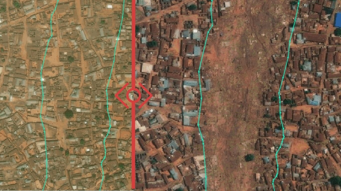
On 28 May 2025, a sudden flash flood struck Mokwa, a market town in Niger State, Nigeria. The deluge has wrought severe damage across the community:
- 2,000+ homes have been destroyed or inundated.
- Approximately 200 fatalities, 100 missing, and 3000 individuals displaced.
- Critical infrastructure, including homes, schools, bridges, electricity poles, and farmland, has been impacted.
Disaster response agencies for the region and international NGOs like the Nigerian Red Cross are on the ground delivering urgent relief.
Due to a previous project for disaster preparedness and response in collaboration with Médecins Sans Frontières (MSF), pre‑disaster building footprints, road networks, and more for Mokwa are already mapped and publicly available here: https://bit.ly/mokwatowndata
Having relevant data readily available in situations like these highlights the importance of anticipatory mapping, especially in disaster-prone regions.
How You Can Contribute
Now, with the availability of post‑disaster satellite imagery provided by Maxar, we’re launching a post‑disaster mapping campaign to support the Geohazards Risk Mapping Initiative. Your contributions will potentially enable:
- Impact assessment: Precise counts of damaged vs. intact structures.
- Risk modelling: Identifying areas that are most vulnerable to future flooding.
- Resilient rebuilding: Informing smarter, safer reconstruction plans.
Mapping will consist of: * Comparing pre- and post-disaster imagery to identify building damage. * Tagging damaged structures based on impact extent. * Adding new buildings.
Jump in now: Join project #mokwafloods2025 on the HOT Tasking Manager
Why Your Effort Matters
Your contributions could help inform analysis and impact reports used to strategize relief distribution and reconstruction strategies. Together, we can help Mokwa recover stronger and more resilient than before. Your contributions are invaluable to this critical effort.
Let’s map for a smarter, safer Mokwa!
Share
