News — 07 March, 2024
Mapping Our Community: Paula dos Santos Silva's Journey in the Amazon
Explore Paula dos Santos Silva's incredible journey in the Amazon, where she immerses herself in her passion for geography and dedicates herself to mapping the dynamics of riverside communities. From her academic trajectory in Tefé to her current research on 'fallen lands,' Paula shares her experience and highlights the importance of mapping to reveal the roots and traditions of these communities, ensuring their visibility and recognition.
Versión en español | Versão em português
The Amazon, with its vastness and complexity, often hides fascinating stories. One of these stories is the journey of Paula dos Santos Silva, a 35-year-old woman born in the riverside community of São Luis do Macari. Paula, a dedicated mother to a 13-year-old girl, immersed herself fully in her passion for geography and in the mission to understand and map out the dynamics of riverside communities in the Amazon region.
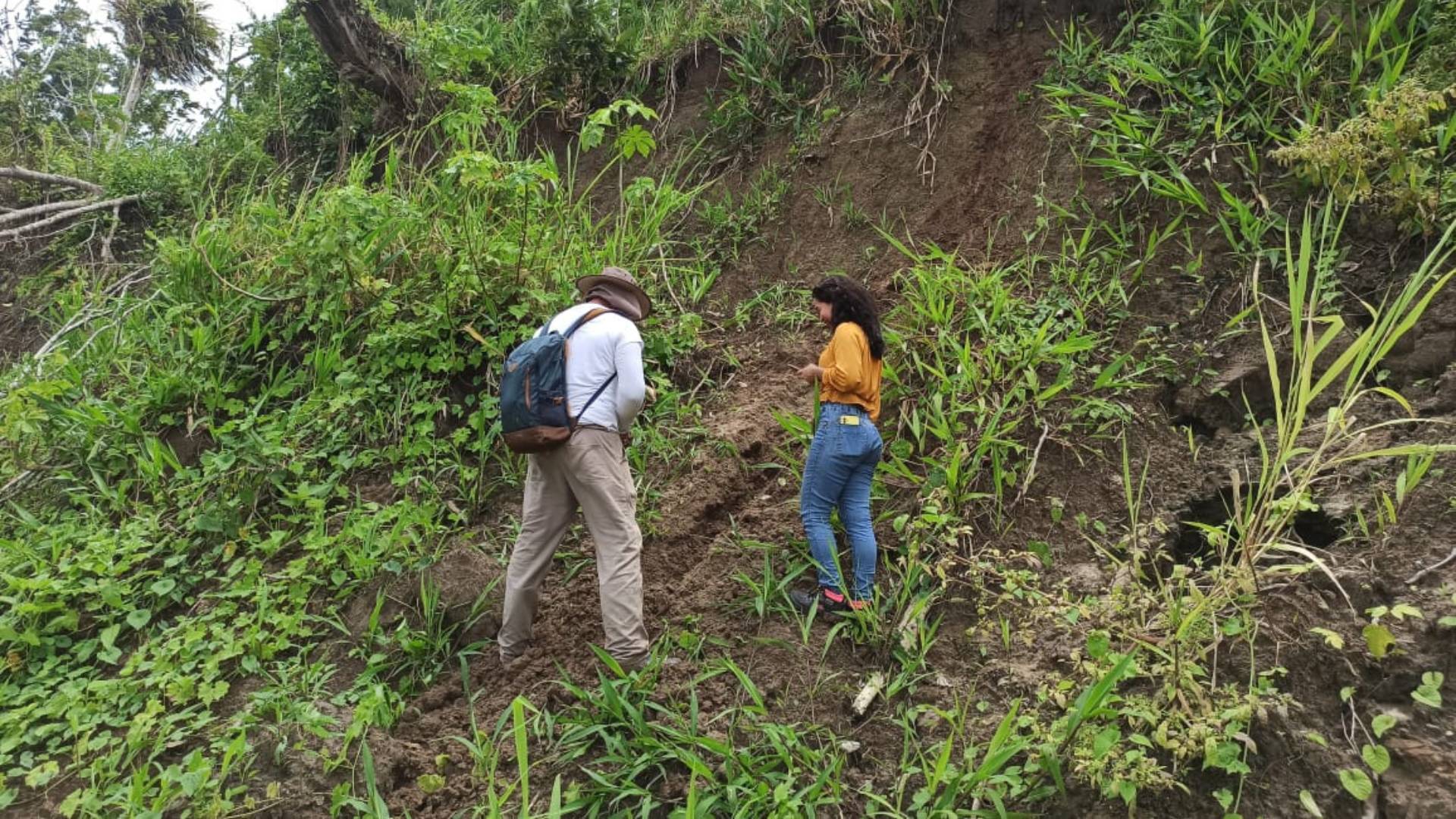
Paula’s academic journey began in Tefé, driven by the desire to enhance her knowledge in geography. Graduated and specialized by the Amazonas State University (UEA), Paula is currently involved in research for the Mamirauá Sustainable Development Institute (Mamirauá) on the impacts of the “Tierras Caídas” phenomenon, a process of erosion that has affected riverside communities.
For Paula, mapping goes beyond the four walls of the classroom. She shares her experience, highlighting the importance of the community’s vision in understanding her work. In her words, “Mapping is what I love to do; in geography, I didn’t have that foundation because there were no teachers at UEA. We were left without a teacher and had some difficulties. When the pandemic returned, my greatest support was Professor Dr. Francisco Davy Braz Rabelo. I had to learn almost everything by myself, relying on workshops from the Federal University of São João del Rei (UFSJ).”
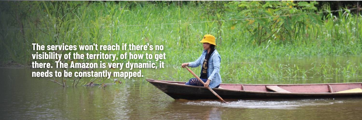
Paula’s mapping activities aim to give visibility to riverside communities, revealing their roots and traditions. She emphasizes the need for students to recognize themselves and acknowledge their existence. “The services won’t reach if there’s no visibility of the territory, of how to get there. The Amazon is very dynamic, it needs to be constantly mapped,” Paula stresses, aware of the vital importance of her work.
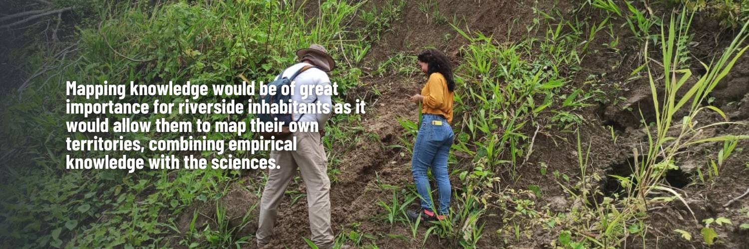
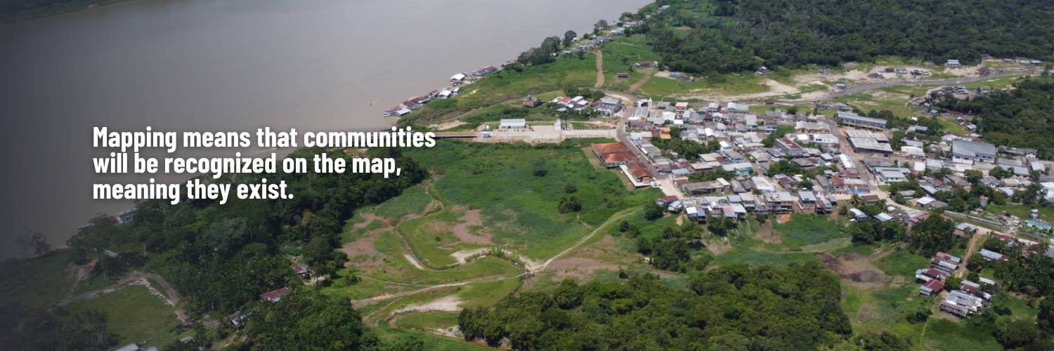
Active community participation is a central pillar for Paula. Elderly inhabitants share valuable knowledge, showing places affected by erosion and providing crucial information. For her, “mapping knowledge would be of great importance for riverside inhabitants as it would allow them to map their own territories, combining empirical knowledge with the sciences.” Paula faces challenges such as distance and lack of infrastructure as she divides her time between the old and new communities, but always with the purpose of ensuring these communities do not become invisible. In Paula’s words, “mapping means that communities will be recognized on the map, meaning they exist.”
The technological challenges faced in using geotechnologies are also shared by Paula. “Where is it and what is here?” she asks, highlighting collective collaboration among students as fundamental. Paula reinforces the importance of combining her experience with technologies to overcome obstacles and learn during her journey.
The Civil Defense plays a crucial role in supporting communities, something Paula strongly emphasizes. She highlights the importance of having maps to ensure access in disaster situations and the need for constant training for Civil Defense agents, who often face gaps in resources and tools.
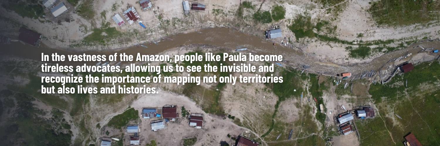
In the vastness of the Amazon, people like Paula become tireless advocates, allowing us to see the invisible and recognize the importance of mapping not only territories but also lives and histories.