Open Mapping for Disaster Preparedness: A Pilot Study in Zimbabwe
Posted by Wilson Munyaradzi • Aug. 30, 2023
The Anticipatory Response Program (ARP), recently piloted in Zimbabwe, incorporates open mapping tools and workflows into disaster response and resilience efforts to move from a reactive to a proactive approach.
Cover photo: Introducing 360 mapping techniques in the field with a GoPro Max Camera. Courtesy of Letwin Pondo
In 2022, the Open Mapping Hub - Eastern and Southern Africa (OMH-ESA) launched the Anticipatory Response Program (ARP), an approach to disaster management. This program seeks to incorporate open mapping tools and workflows into disaster response and resilience efforts, transforming the traditional reactive approach into a proactive one. The ARP was piloted in Zimbabwe, a country that is impacted by natural disasters such as floods, cyclones, and droughts.
The objectives of the ARP are: 1. To identify and understand the gaps in anticipatory planning, preparedness, and response that can be filled with open geospatial data and tools. 2. To understand the limitations in data tools and infrastructure supporting anticipatory action. 3. To stimulate opportunities for joint project collaboration between community organizations, disaster agencies, and the OMH-ESA. 4. Strengthening participation and ownership.
Engaging the Stakeholders
Through a consultative workshop, OMH-ESA united various stakeholders, including disaster response organizations, communities, and government representatives, to deliberate on leveraging geospatial data to combat natural disasters. During this workshop, Caritas Zimbabwe, a local NGO, was recognized as a crucial partner for generating data and maps for disaster preparedness.
 Small groups actively discuss the most recent trends and their implications. Photo Courtesy of: Elaine Muigai, ESA Hub
Scoping the Project
The OMH-ESA needed a location to pilot the ARP program, and in collaboration with Caritas Zimbabwe,we identified two districts as potential candidates: Chimanimani and Muzarabani. Due to its vulnerability to seasonal hazards such as floods, drought, strong winds and disease outbreaks, Muzarabani was selected as the pilot site.
 Pilot wards in Muzarabani District
Collecting the Data
Developing a data model was crucial to the project's success. This model outlined the necessary data layers to be collected in the field and via remote mapping, covering critical facilities like health and education facilities, markets, shops/businesses, places of worship, open spaces, flood-prone road sections, public water points, and sanitation facilities.
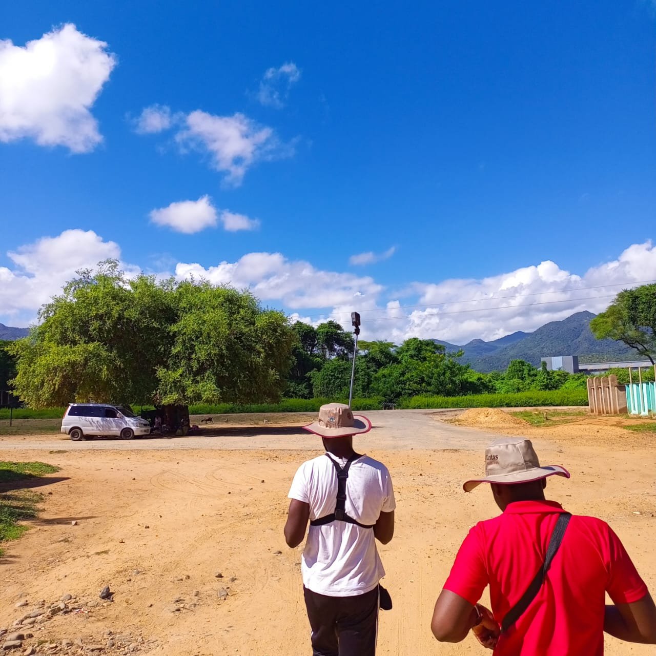
Before the data collection, a one-day training workshop was conducted to familiarize participants with the ARP program's goals and objectives, and the importance of mapping exercises in enhancing disaster response systems. The data collectors used motorbikes to access remote locations and regularly met with the team to assess progress and troubleshoot any challenges encountered.
 A group of dedicated participants in Muzarabani District, marking the culmination of rigorous training during the workshop. Photo Courtesy of: Rachel Chinyanga, Caritas Zimbabwe
Data Analysis and Application
The ARP program's next phase involved data analysis, during which the data was cleaned, modified, and uploaded to the OpenStreetMap (OSM) platform. Maps were developed based on the ARP data model and other geospatial disaster layers, which were used to identify vulnerable households and critical facilities.
A unique feature of this initiative was the incorporation of participatory GIS (Geospatial Information Systems), wherein the Caritas team provided feedback on the produced maps. This collaborative approach ensured the maps' accuracy and relevance, and also helped equip the Caritas staff with open mapping tools and data, ultimately improving their planning capabilities.
The data collection and analysis from this pilot project resulted in tangible outputs for each of the wards in Mazarabani in the form of Multi-Hazard Contingency plans that enhance contingency planning for the district. The plans are intended for ward leaders, partners, and first responders to be used as a source from which to anticipate risks, and develop consistent and coordinated responses that minimize humanitarian impacts and lead to early recovery.
The plans are also designed to raise awareness among community members about the potential hazards in each ward. Among the identified hazards, the Ward Civil Protection Committee found strong winds, drought/dry spells, heatwaves, floods, erosion, poor water service and sanitation, human-wildlife conflicts, pests, and diseases such as malaria and cholera. The plans also consider which groups are considerably affected by hazards such as women and girls, people with disabilities, infants, and the elderly– and thus present strategies designed to incorporate their specific challenges.
For example, the Kairezi Ward Multi-Hazard Contingency Plan identified floods as one of the main hazards that puts the population at risk, and presents several action items to prevent their potential impacts, including a gender-based perspective: * Construction of strong structures, storm drains, contour ridges, sand traps, and a multipurpose hall to act as an evacuation center. From the identified locations, the district also plans to construct gender based evacuation centers. * Rehabilitation of infrastructure and buildings at the identified evacuation centers. * Improve water and sanitation facilities. * Equipment of evacuation centers with water sources to provide safe drinking water and sanitation facilities to affected communities. * Establish easy-to-operate water harvesting structures that consider the multiple roles of women.
The plan was able to incorporate the potential evacuation centers for flood-prone areas with the data collected through the ARP.
Overall, the plans provide details on risks, scenarios, planning assumptions, and consequences for each of the identified hazards. They also determine roles and responsibilities during the assessment and coordination stages and summarize coordination and management systems, aligning with Zimbabwe's National Development Strategy, which emphasizes decentralization of resources and leaving no one behind for effective development. The plans lay multifaceted strategies to respond to emergencies or disasters, provide information essential to the continuity of critical functions, and identify the resources needed to ensure the safety of personnel, communicate effectively with internal and external stakeholders, and provide timely emergency support. The plans will be reviewed annually, and we are hopeful that constant updates by all stakeholders will continue to be provided to address changes in the hazard, risk profiles, and scenarios. This way, the authorities can be more prepared before disaster strikes and have data-backed response efforts.
Challenges, Lessons, and Suggestions
Despite the success of the ARP in Muzarabani, there were a few suggestions from the involved stakeholders that can be deliberated in the next Anticipatory Response program:
- The knowledge or experience obtained from the experimental districts should be used in all other districts the program could not reach at this stage.
- The program is to identify other evacuation centers besides those identified by the partner organizations. It is of uttermost importance to engage the local people affected by the disasters in question. They have every detail about everything that goes on within their area, which is very important in disaster response.
- Participants taking part in the disaster response should practice the data collection procedures using their own gadgets, thus empowering the local people.
- There is a need for more time for training local people so that they master ways in which maps can facilitate disaster response. As the program aims to widen and expand to other countries within the region, the maps must not only be used as dashboards but should be used to enhance disaster response and preparedness, ultimately saving lives throughout the region.
- It is always important to bring communication down to the community before deployments so they know who is coming into their area and for what purpose.
- It is important to know that floods in Muzarabani also cause secondary hazards mainly water borne diseases such as cholera, typhoid, malaria, and diarrhea.
Outcomes
- Caritas Zimbabwe staff and volunteers increased their knowledge and capacity on:
-
- How to use open source geospatial tools for data collection and mapping
-
- How to access and use open map data for disaster preparedness and response
-
- Enhanced map literacy skills, in particular, the ability to navigate and interpret interactive maps to be able to see the attributes associated with each mapped feature.
- Improved accessibility to Caritas staff and stakeholders since the maps and data are available online and are easy to share and retrieve. There has been a shift from the use of paper based maps to digital maps for the organization, ensuring a safe repository of data and maps compared to paper maps, which can be worn out, become out of date or be lost easily.
- The district now has more updated and detailed hazard maps for the wards, with more information compared to paper maps which provided less information. Following the training, district government employees and stakeholders feel more confident in using digital open mapping tools and there has been a shift in mindset from paper-based to embracing digital maps and data.
- Finally, the ARP program generated high-quality geospatial data and maps that can support anticipatory action initiatives such as contingency planning. The data collected in the pilot in Muzarabani has been used to identify the location of evacuation centers, road networks, and vulnerable areas and populations for the district. This information has served as an input to develop hazard maps and Multi-Hazard Contingency Plans (MHCP) for the pilot wards. Thus, the authorities can be more prepared before disaster strikes, and their response efforts can be backed up by concrete data.
Looking Forward
In conclusion, by providing granular open geospatial data and maps for the creation of multi-hazard contingency plans, the ARP program has demonstrated that it can contribute to disaster preparedness and response at the local level. By anticipating and preparing for potential issues before they occur, communities can mitigate the devastating impacts of natural disasters. Disasters are everyone’s business.
The pilot program's success sets the stage for further reviews and expansion across Zimbabwe and other regions prone to similar disasters. As we face an increasingly unpredictable future due to climate change, proactive, data-driven solutions such as the ARP will only become more crucial in fostering resilience and protecting vulnerable communities.
Here are some of the interactive maps for the five wards mapped so far: * Hoya ward community amenities interactive map * Chiwenga ward community amenities interactive map * Chadereka ward community amenities interactive map * Kaerezi ward community amenities interactive map * Dambakurima ward community amenities interactive map
Share
