Scaling Missing Maps in Africa’s Great Lakes Region Project, Kisoro District Uganda
Posted by Allan Mbabani, Kiggudde Deogratias • April 26, 2021
HOT is using open source geospatial mapping tools and local knowledge to improve field epidemiology and patient tracing in rural Uganda.
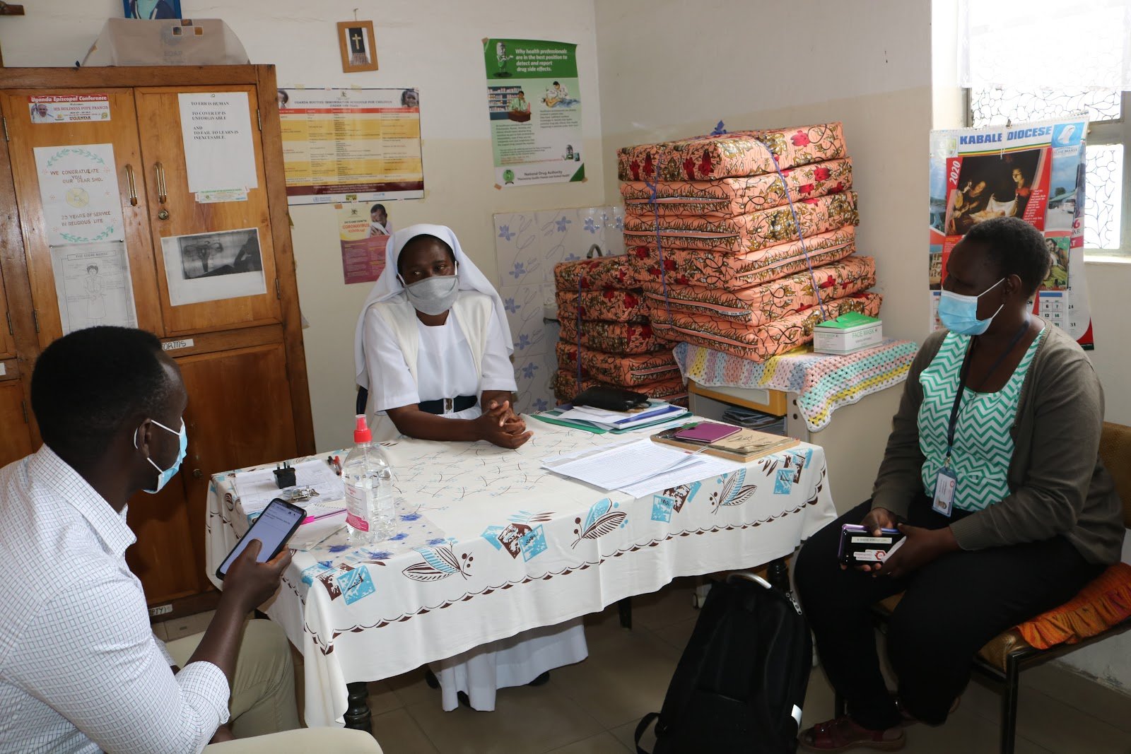
Lead image: Data collection at St Francis Hospital Mutolere
“I might know where a specific village is in my district, but it is difficult and time-consuming to locate the exact house where a confirmed contact is. The team can [more] easily respond with limited resources to emergencies with the help of location apps (OSMAnd) than before.” - Dr. Nick Muneza, Asst. District Health Officer, Environmental Health and Surveillance, Kisoro District
Patient tracing is one of the most critical public health activities. If efficiently executed, it can greatly reduce the likelihood of the spread of a highly contagious disease. At face value, patient tracing would seem to be a straightforward activity, but with ever-increasing populations and mobility of people, the task of patient tracing tracking and monitoring becomes ever more complex. This is especially so in developing countries where most of the geographical, navigational, and landmark features have not been fully digitized. Most of the patient location registration information is not granular enough to allow field epidemiologists, contact tracers, and community health workers to easily locate, navigate to, and monitor patients during a public health emergency.
 Image 1: displaying the disease surveillance protocol at the Nyarusiza Health Centre III / Image 2: displaying Nyarusiza Health Centre III catchment area
To combat this challenge, HOT, with the district health teams and community health workers, designed a community participatory mapping exercise across Kisoro and Zombo districts. This mapping exercise was geared towards locating and mapping all geographical and human-made features in the communities that are used to locate and navigate to and from patients. The geospatial information collected would allow the community health workers to easily find, locate, and trace patients quicker and more efficiently.
In Kisoro district, community health workers were asked to use GPS-enabled smartphones for the mapping exercise. Community and district health workers that did not have smartphones were provided smartphones and trained to use ODK, an open-source digital data collection application. Geographic information collected included: schools, health centers, major community businesses, village names, names of major hills, trading centers, and more.
To allow more people and stakeholders to access the information collected, the data was uploaded to the OpenStreetMap platform, an openly available wiki map of the world. On this platform, anyone around the world can now view and download this information.
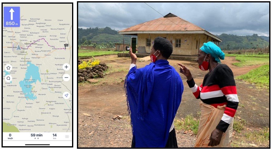
As part of the participatory mapping exercise, the HOT also scheduled multiple training with over 90 district and community health workers on the use of openly available navigational applications that included Maps.me and OSMand. These mobile navigation apps use an OpenStreetMap base layer for their maps, using data collected by the community health workers to trace patients.
One of the major hindrances to this participatory mapping exercise was that not all community health workers had access to smartphones. Even with HOT’s provision of a small number of smartphones to some of the workers, the majority still didn't have GPS-enabled smartphones for accessing the information collected.
 Community health workers getting acquainted with OSMand and Maps.me
In order to alleviate this challenge, the HOT team collaborated with the district health team to design village-level, book-sized maps. These book-sized maps were distributed to the village community health workers to help them navigate, locate, and record their movements even without using smartphones. The HOT team is also developing district-level gazetteers that will be shared with health centers across the district to assist in reducing the time spent on patient tracing.
 Paper maps shared with community health workers across Kisoro and Zombo districts
Having been part of the participatory mapping process from the start, the Kisoro district health team gained the skills and knowledge to not only design and manage a geospatial community mapping exercise, but also develop static and interactive maps that allow them to quickly visualize data trends. The district health team now plans to use this newly acquired knowledge to create standard maps that will help them plan and monitor community health campaigns and interventions, including vaccination campaigns, childbirth monitoring, risk communication campaigns, and the distribution of healthcare items like bednets. The district and community teams previously used hand-sketched maps for planning some of the health interventions. With these newfound skills and knowledge, the teams hope to use much more accurate and standard maps to guide their decision-making.
 Community health workers getting acquainted with the paper maps and providing feedback on how they would use the maps.
Now, community health workers with GPS-enabled smartphones can not only navigate more easily and quickly to major locations and landmarks, but also are able to share their exact locations with teammates and colleagues. Having the capability to share location information has allowed community and district health teams to better coordinate their movements and reduce the time spent locating colleagues in the field.

The project has also allowed the district and community health workers to start utilizing and engaging with the data collected around them. At the start of the project, some community health workers were surprised when they asked us who we were collecting the data. The HOT team replied that the data was being collected for the health workers to use and work with. This statement surprised the community health workers, who usually collected data for reporting and were rarely provided a chance to contribute to the utilization of the geospatial and location data.
 HOT’s mapping supervisor demonstrating how to use OSMand Maps.me to a community health worker in Zombo and Kisoro district
With major locational features mapped by the community health workers, most community clinics and drug shops were also mapped. The district drug inspector took a strong interest in the location of these drug shops, stating that the community health clinics and drug shops are an important piece of communication and disease surveillance infrastructure in the overall monitoring of drug use and disease prevalence in the community. The district drug inspector reported that these drug shops tend to be the first line of health care some community members get. Knowing their locations and getting in touch with them will allow him to know the trends in drug sales, which can assist the team in knowing if there is a particular outbreak in the community.
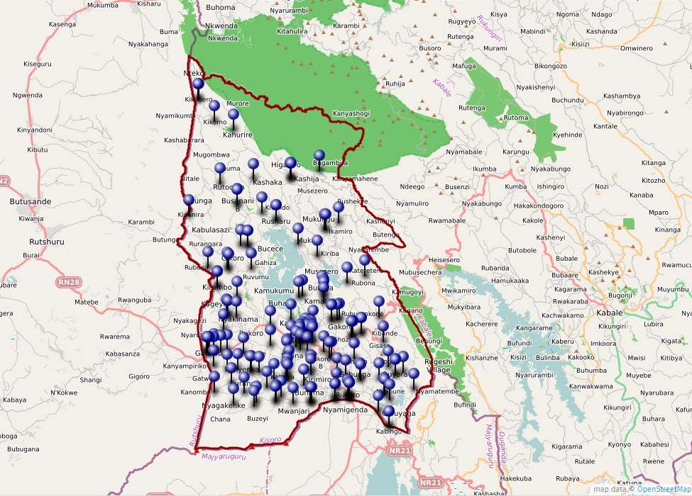 An interactive map of displaying district health centers and drug shops across Kisoro district
Share
