Supporting Covid-19 Response in Mongolia via Community Mapping (by Public Lab Mongolia)
Posted by Public Lab Mongolia, Erdenetsogt Su, Enkhtungalag C. • March 30, 2021
In the course of their Covid-19 Rapid Response Microgrant, Public Lab Mongolia has put thousands of health, service, and infrastructure sites on the map while training a team of mappers from across the country.
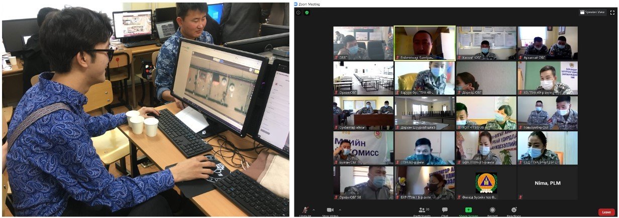
Amid the Covid-19 pandemic, a diverse group of individuals representing the 21 provinces of Mongolia came together to support the Covid-19 response in Mongolia, organized by Public Lab Mongolia (PLM), a local non-governmental organization. PLM’s long-term, core program, Mapathon, brought together individuals to map health and essential services in their own communities to contribute to Mongolia’s effort in managing the pandemic as part of the “Covid-19 Community Mappers Program.”
PLM’s Mapathon program is intended to promote a culture of open-data, raise awareness and build capacity for geodata creation and use, and support data-based decision-making. Mapathon is unique in that anyone can actively participate as a contributor to open-source data creation.
By crowd-sourcing data using open-source technology, PLM hopes to make data accessible to key stakeholders such as civil society, local government agencies, researchers, and reporters.
As local community mappers, the 21 program participants learned how to use and make data contributions to OpenStreetMap through hands-on training by PLM. The community mappers then mapped all the health and essential services in the 21 provinces and 330 soums (counties) of the country. The data mapped included a total of 1,651 health services, 595 water kiosks, 2,065 grocery stores, 970km of highway, and 27,077 other services such as public bathhouses, petrol stations, schools & kindergarten, banks & ATMs, bus, taxi, and train stations.
The Covid-19 Community Mappers Program made a tangible, community-driven contribution to supporting the country’s pandemic response. OpenStreetMap serves as one of the key sources of available geodata in the country for key national agencies managing the pandemic response. Also, the data will remain open to all, continuing to serve many other positive local developments such as delivery services, tourism, and service planning and provisioning.

The rural community mappers from the 21 provinces highlighted the positive impact they were able to make in their own communities. As one of the community mappers said, “I plan on continuing to work on my province until [it is] completely mapped, and I think of it as my personal contribution to my province.” The program also brought people together; as another community mapper said, “I think we all realized and saw [that] the possibilities of working as a team on something important, even remotely, are boundless.”
PLM believes that this program of rural community mappers has been an exemplary case on how to foster civic engagement and enable everyday citizens to become leaders in their own communities through open access resources. As another mapper stated, “This program has been not only very productive for society, but also a great opportunity for personal and professional development.” Civic engagement in open geodata creation and use can be a powerful and engaging way for data-based, community-driven advocacy to improve lives and support democratic and informed community development.
Share
