The Eastern and Southern Africa Regional Hub Announces Four Facebook Community Impact Microgrants!
Posted by Geoffrey Kateregga • April 20, 2021
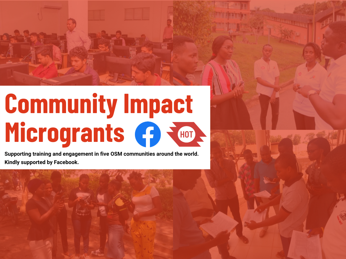
Four communities in Eastern and Southern Africa have been selected as recipients of the Facebook Community Impact Microgrant. Congratulations to The Shack Dwellers Federation of Namibia, OpenStreetMap Uganda, The Malawi OpenStreetMap community, and The Center For Life Change and Development!
The Eastern and Southern Africa Open Mapping Hub has awarded Facebook Community Impact Microgrants to four OpenStreetMap (OSM) communities in Malawi, Uganda, and Namibia. The grants will support community mapping projects responding to local challenges over 6-12 months. The grants include mapping out social amenities at Dzaleka Refugee Camp in Malawi, growing the number and capacity of OSM mappers in Namibia, spreading awareness and fighting gender-based violence through OSM Tools in Uganda, and photo mapping of newly announced city-level municipalities in Uganda as part of the country's urban planning.
The Humanitarian OpenStreetMap Team (HOT) Community Support Program supports local communities leveraging OpenStreetMap (OSM) data, tools, and mapper community to help solve local challenges. One way we do this is by providing OSM communities with microgrants that they can use to purchase equipment, support staff and contractors, and offer trainings to data users and community members. The four communities below all received the HOT’s Facebook Community Impact Microgrant.
Guardians of the Map: Growing a community of OSM Mappers within Shack Dwellers Federation of Namibia
In Namibia, 40 percent of the urban population lives in informal settlements, with limited access to individual water connections, toilets, tenure security, and electricity. The increase in informal settlements is caused by slow land delivery by local authorities, many of whom are struggling to deal with the effects of urbanization. The spatial data required for planning and upgrading informal settlements is expensive to generate, which is often collected in silos, by the various actors involved in planning.
The consequences of this piecemeal data availability results in planners planning ‘over’ people. In addition, communities are frustrated by continued exclusion from mainstream planning, and limited efforts and strategies for long-term sustainable and equitable planning of human settlements in the country. Updating the data on OSM will be spearheaded by The Shack Dwellers Federation of Namibia (SDFN) and the Namibia Housing Action Group (NHAG), in partnership with Namibia University of Science and Technology’s (NUST) departments from the Faculty of Natural Resources and Spatial Sciences. The Tobler Society YouthMappers Chapter at the University of Chicago, will evaluate and identify the gaps in the existing available OpenStreetMap data for Windhoek. The team will map all building footprints in formal and informal settlements in Windhoek, as well as streets, roads, rivers, and available basic community services such as water taps and sanitation/ablution facilities within informal settlements. The project aims to improve locally available data in OpenStreetMap to support data access for stakeholders working in urban planning and land administration.

Photomapping Uganda's New Cities Using Mapillary
In July 2020, 15 municipalities in Uganda attained city status as a result of the ever-increasing population due to rural-to-urban migration. The new cities lack up-to-date geospatial information, limiting the effective extension and monitoring of services and settlement across these new cities. Information about road conditions, garbage collection, environmental degradation, and adherence to physical plans is not readily available to the city planners.
OpenStreetMap Uganda will build upon its existing remote mapping efforts in the ongoing “mapping of the new cities initiative” by engaging the YouthMapperchapters and the general OSM community in a nationwide Mapillary campaign to generate over 100,000 new street-level images. These will be used to add more detailed road information to OpenStreetMap, such as data about street lights, road conditions, building heights, building materials and business information, that will be shared and used by the Ministry of Lands and city authorities to plan and monitor the new cities more effectively.

OSM Mapping for Refugees - A Case of Dzaleka Camp, Malawi
Established by UNHCR in 1994, Dzaleka is the largest refugee camp in Malawi, hosting over 43,000 refugees and asylum seekers. The majority of them are from the Democratic Republic of Congo (DRC), while others are from Burundi, Rwanda, Somalia, and Ethiopia. The growing camp population, which was meant to host 10,000 people, means that the camp’s resources barely cover the needs of the already vulnerable population.
The Malawi OpenStreetMap community, in collaboration with YouthMappers and the Africa Drone and Data Academy (ADDA), will create a detailed map of the camp that will serve as a source of information regarding the provision of basic services. They will map out amenities such as education centers, health care centers, buildings and shelters, and water sources. They also want to use the project to revive the OSM community in Malawi, as well as establish a new OSM community in Dzaleka refugee camp.

Using OpenStreetMap Tools to Fight Gender-Based Violence in Western Uganda
The time of Covid-19 has seen a 20 percent increase in reports of gender-based violence in Uganda, according to the Ministry of Gender, Labour, and Social Development. The Center For Life Change and Development (CLCD), a female-led community-based organization fighting violence in western Uganda, will carry out OpenStreetMap training and mapping of critical social livelihood and care facilities in the Bushenyi district. The project aims to support the district social workers, police, and local government with handling gender-based violence cases through the use of maps to better navigate and locate GBV victims and seamlessly follow up cases.

Special thanks go to our Review and Selection panel, which included HOT Voting Members Hawa Adinan from Tanzania, Matseliso Thobei Letsie (tshedy) from Lesotho, Sophie Mower, the Community Support Manager at HOT, and Jeff Underwood and Zvone Sparovec from Facebook.
HOT's Community Microgrant program supports OpenStreetMap Communities in low - and middle-income countries with the resources they need to launch and grow their activities and impact. Microgrants enable communities to implement their mapping activities, improve the availability and quality of OSM map data, aid the development of leadership and technology skills, and help communities with disaster response efforts. Through the Eastern and Southern Africa Regional Hub, the microgrant program will provide more localized support to communities in 22 countries in the region.
Share
