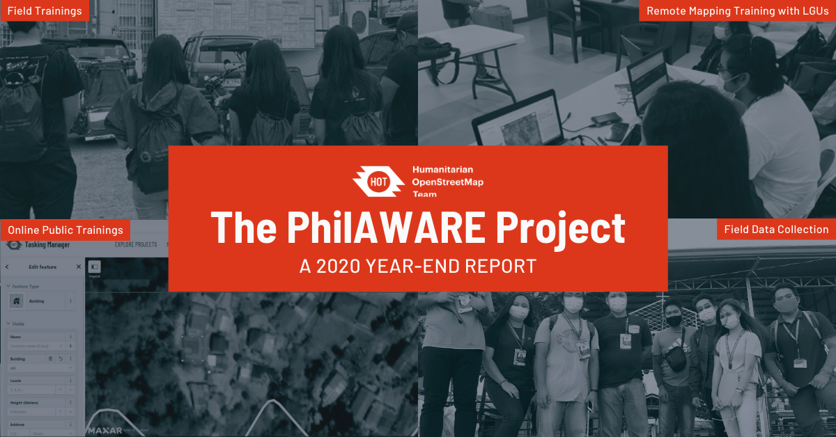
The PhilAWARE Project: A Year-End Report
Posted by Feye Andal, Jikka Defiño • Dec. 20, 2020
This year, remote mapping for Quezon City and the Province of Pampanga were completed, and a new pilot area, Marikina City, was added. Furthermore, field data collection has progressed well in Pampanga despite the pandemic.
2020 has been an impactful year for HOT Philippines as the country team’s flagship project, PhilAWARE, achieved milestones for its pilot areas amidst the pandemic. Launched in July 2019, the PhilAWARE project is a localized version of DisasterAWARE, funded by the Pacific Disaster Center (PDC) and supported by the Office of Civil Defense (OCD) for the National Disaster Risk Reduction and Management Council (NDRRMC).
HOT Philippines' Role in the PhilAWARE Project
Initially, the HOT Philippines team was tasked to map two pilot areas: the Province of Pampanga, and Quezon City in Metro Manila. This year, remote mapping for both areas were completed, and a new pilot area for remote mapping was added: Marikina City in Metro Manila. Remote mapping and validation activities for Pampanga and Quezon City were completed with the help of volunteers, organizations, partners, and other stakeholders while Marikina City is still in progress.

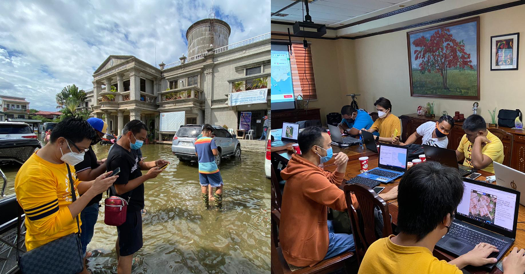
Aside from the remote mapping activities, the HOT Philippines mapping team also began collecting critical lifeline infrastructure data from the ground in the municipalities in Pampanga. Field operations were made possible through the support of the local government offices and volunteers in Pampanga despite the restrictions of COVID-19.
HOT-Philippines Mapping Team Year in Review
To view a detailed summary of the work done by HOT Philippines' mapping team for both the PhilAWARE and OSMaPaaralan projects, please visit this report on GitHub.
Statistics as of writing

Field Operations
The table below summarizes the progress of the Pampanga Team on field mapping and data processing activities as of 18 December, 2020.

POI Collection:
The image below shows the critical lifeline infrastructures (POIs) that were collected, processed, and uploaded by the Pampanga Team in OpenStreetMap as of 18 December. These data were extracted from the Overpass API and are now available for download by the public. Names marked with asterisks means POIs have only been partially added.

The table below shows the quantity of the added and updated points of interests (POIs) collected during the field mapping activities for each municipality.

Road Mapping
See animated images below for the coverage of the road mapping.

To view a detailed summary of the work done by HOT Philippines' mapping team for both the PhilAWARE and OSMaPaaralan projects, please visit this report on GitHub.
\ *This article is currently being updated to reflect efforts in Training, Partnerships, and Communications as well.
Share
