Mapping Vulnerabilities in the Heart of Cambodia
Posted by Honey Grace Fombuena • April 15, 2026
This training is part of World Vision’s strategic focus on empowering communities through data-driven decision-making and technology literacy, strengthening anticipatory action and disaster risk reduction to reduce losses and damage from natural hazards.
Despite the hot and humid weather, from August 13-16, 2024, 33 staff from different World Vision country offices across its East Asia region, 10 of which were women, enthusiastically joined training sessions on disaster preparedness. Discussions covered crucial topics like Anticipatory Action, led by World Vision East Asia, and Household Risk Mapping, guided by the HOT Asia-Pacific Hub.
It was a valuable learning experience for everyone, especially in understanding how mapping community vulnerabilities, adaptive capacities, and exposure can help calculate household risk and determine priorities for response and financial aid before a disaster strikes.
This newfound knowledge and appreciation fueled the participants for the fieldwork day. Grouped into teams, they were mobilized to collect household risk information from selected villagers. They engaged in fruitful conversations and were able to identify the occurring hazards and related vulnerabilities based on the villagers’ own lived experiences and realities.
The local community’s willingness to participate was evident, as they understood that these activities ensure that their voices are heard and that their inputs could lead to better support. Ultimately, it was a fulfilling afternoon for the participants, as it showed them exactly how their work improves the lives of the communities they serve.
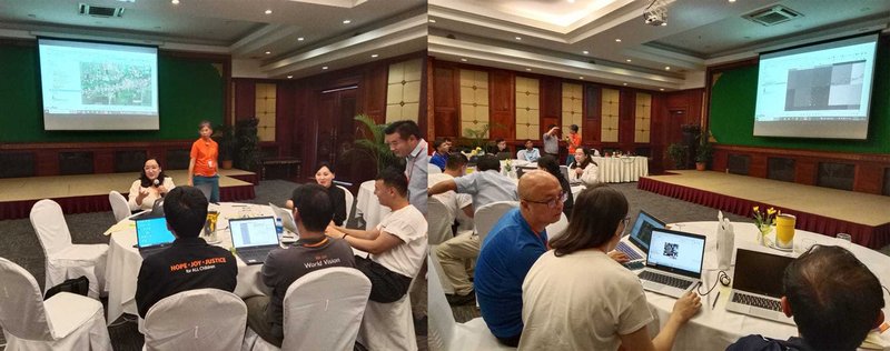
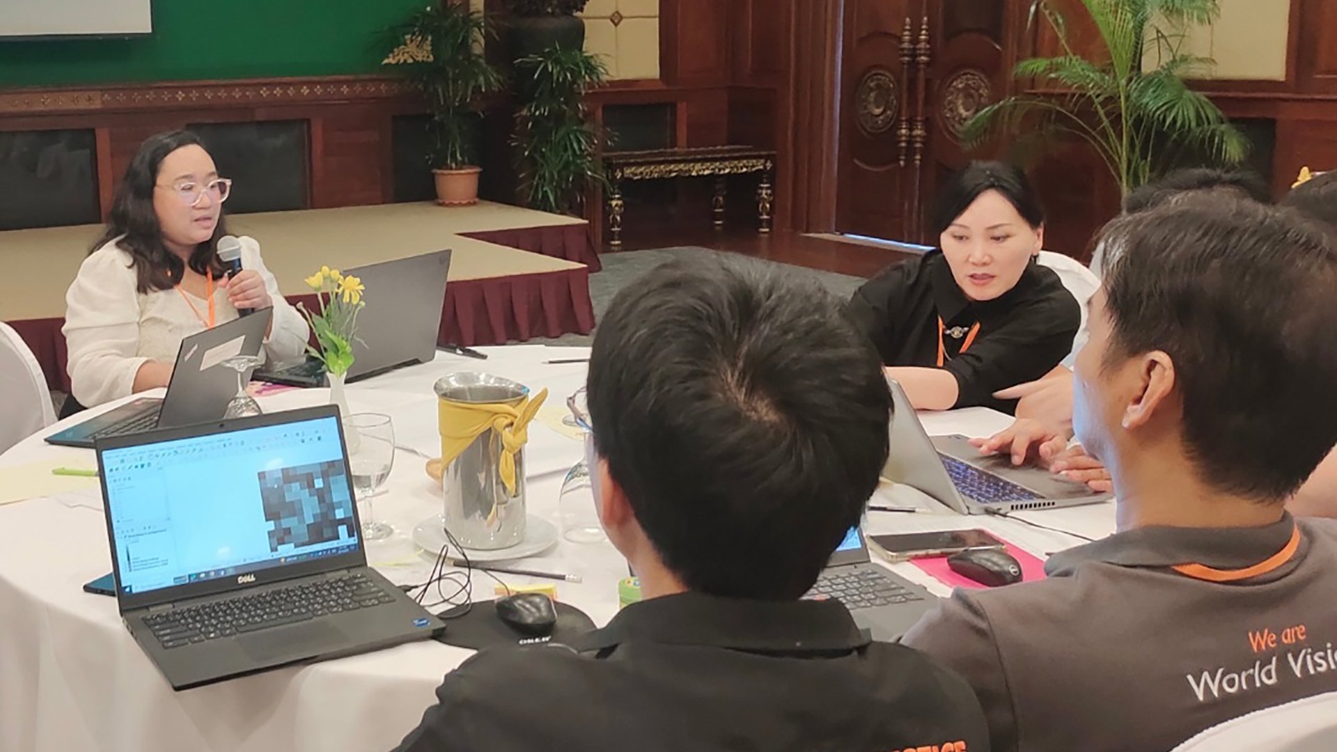
HOT Asia-Pacific Hub's GIS Analyst, Honey Fombuena, provides hands-on QGIS training to World Vision staff in Siem Reap, Cambodia, focusing on household risk mapping to enhance disaster preparedness. | Photo: Jolly Anne Gibe / World Vision East Asia
After gathering household risk information, the HOT Asia-Pacific Hub led an innovative session on transforming collected survey answers into geospatial data. Participants learned how to use this transformed data to calculate an overall risk score for each household. By combining the household risk scores and existing building footprints from OpenStreetMap, a village map was generated, visualizing the different levels of household risk within the mapped area.
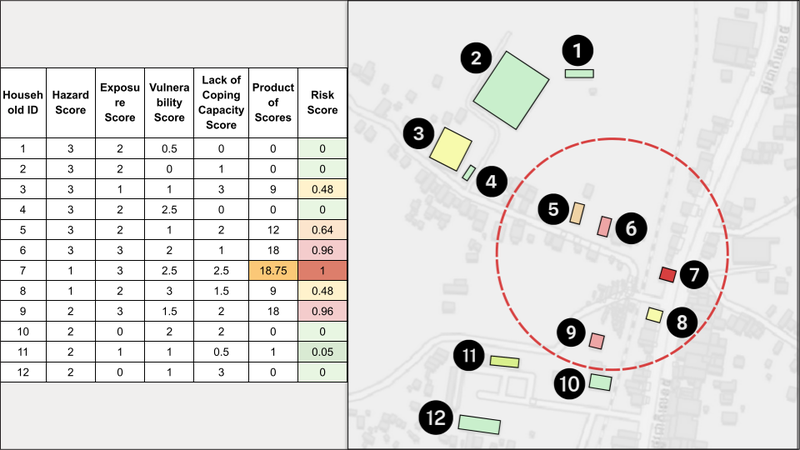
Through clear, powerful visualization, the household risk map helps disaster managers and first responders quickly identify hotspot areas for prioritized intervention. This enhances decision-making and supports impact-based forecasting and financing. | Map visualization: HOT Asia-Pacific Hub
Since it was the first time for most participants to engage with mapping concepts and Geographic Information System (GIS) tools like QGIS, some initial challenges were expected. However, these were overshadowed by their enthusiasm to learn from the hands-on activities prepared.
Throughout the training, participants began to see clearly how integrating map data into their existing workflows could improve their operation. They recognized that having accurate, visual representations of community vulnerabilities and resources would allow them to make data-driven decisions with greater speed and precision, ultimately leading to more effective and targeted aid.
Understanding the value of the map data has given the participants a deeper appreciation for open mapping technology. What began as a confusing concept is now a clear tool for more informed decision-making. The training concluded with local teams better equipped to apply these skills to their work and contribute to a more disaster-ready East Asia.
Read our next blog, where we continue the Household Risk Mapping training with World Vision East Asia in Laos.
Share
