



The Map that Brought Water Close to Lafike's Home
Posted by Pauline Omagwa • July 14, 2026
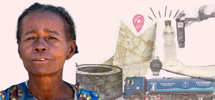
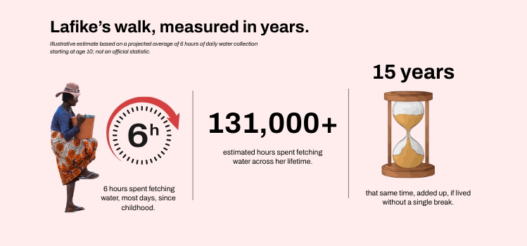
Lafike is 70 years old. She lives in Ijijy, a remote village in southern Madagascar. For most of us, getting water means walking a few steps to a kitchen tap. For Lafike, it meant leaving her home before sunrise and walking for hours, every single day, just to have enough to cook and drink.
"Every day, we had to go to the beach to fetch water. It was very difficult, especially for someone elderly like me. We had to leave the village very early in the morning and return around midday to prepare food," Lafike said.
That walk has shaped her entire life. Added up across the decades, the time she has spent fetching water comes to years.
Madagascar's Water Crisis
Across southern Madagascar, shared community wells are a lifeline, but they are both far away and unreliable in the dry season. In villages like Ijijy, some wells have been swallowed by shifting sand. Others still work, but barely, turning thick and brackish once the rains stop.
That burden falls hardest on women. They're twice as likely as men to fetch water, and in some regions, 85% of households depend on them for it, a task that costs 11 hours a week (UNICEF). And when the nearest well runs dry, families often have no choice but to draw from whatever's left, ponds, rivers, or unprotected sources, placing Madagascar among the worst 10 countries in the world for reliance on unsafe water. In the hardest-hit south, some families walk up to 30 kilometers a day for a single 20-litre container (Medair, 2024).
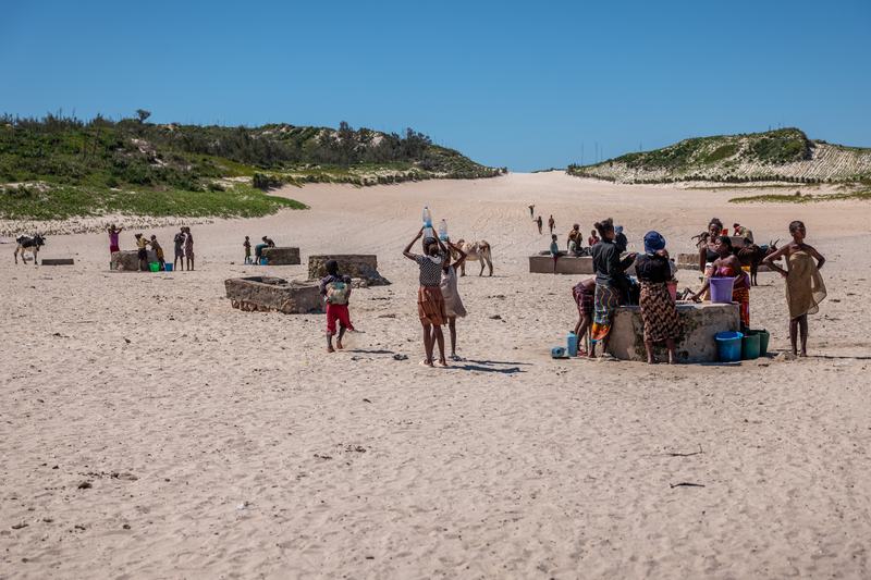
A well point in Ijijy, where families and their animals depend on the same water source for drinking.
Turning Data into Decisions
Since 2019, Tatirano, a social enterprise working in southeast Madagascar, has installed subsidized rainwater collection systems and run water kiosks in rural and urban communities.
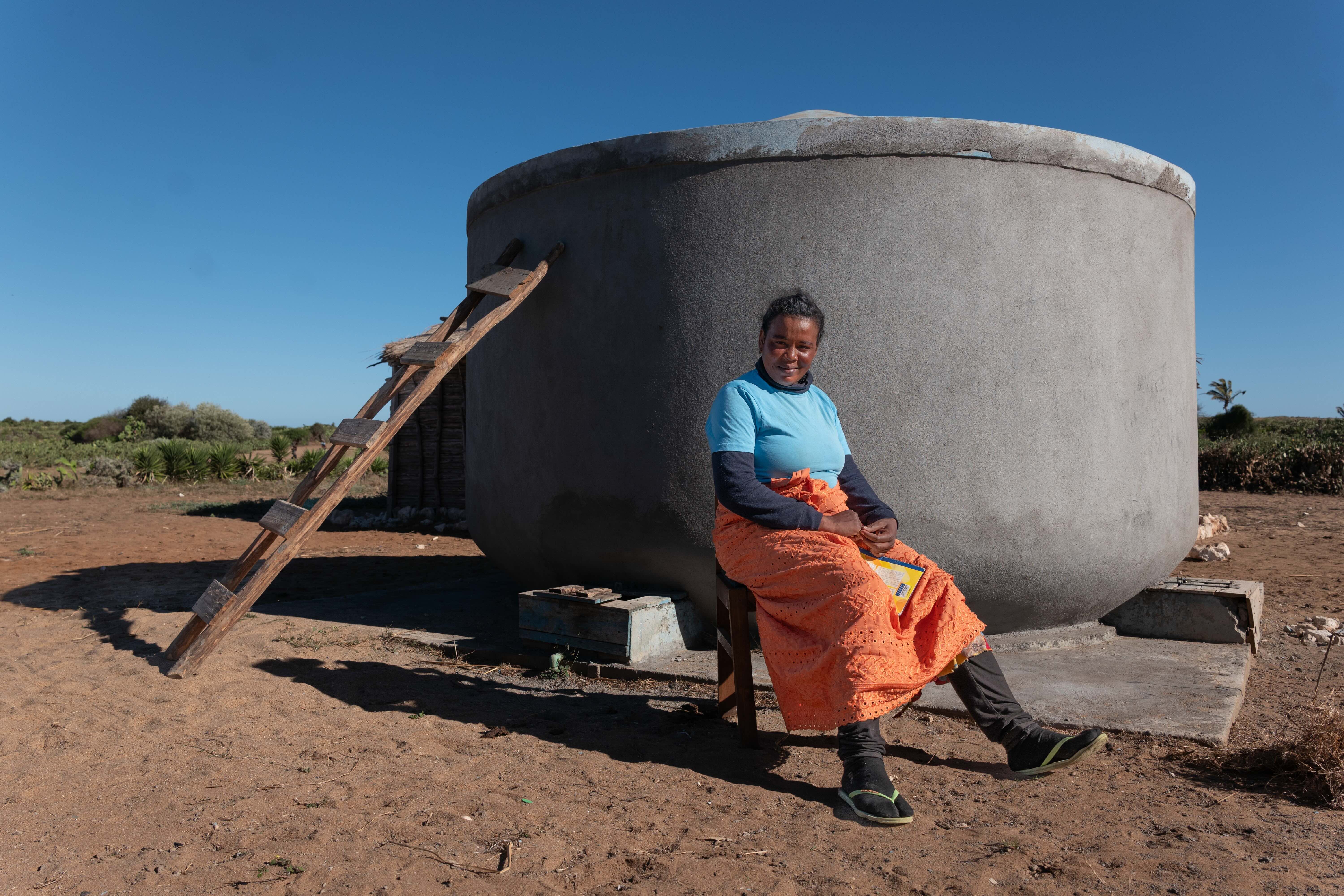
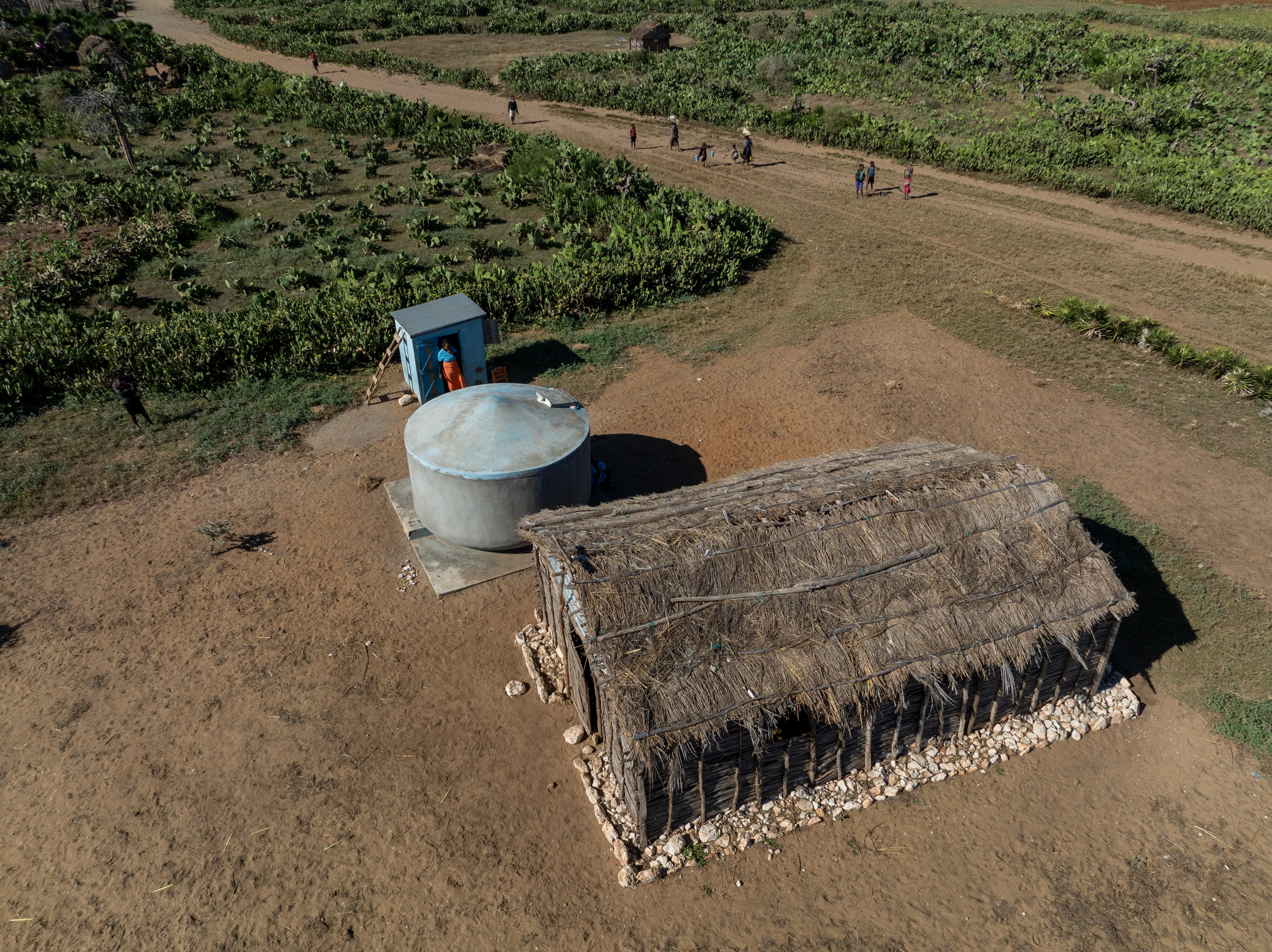
A Tatirano water kiosk, where clean water is stored and sold to the community.
In 2023, the Humanitarian OpenStreetMap Team (HOT) awarded Tatirano a grant through its Open Mapping Grants program, which backs local organizations across Eastern and Southern Africa using open geospatial data for humanitarian and development work. The grant funded a specific question: where exactly were women walking to collect water, how far, and which communities were being missed?
"A lot of organizations in the humanitarian development space create maps, and then those maps die a death in an archive somewhere. What we really want to do is make maps and data come alive so that we can improve decision-making," said Harry, from Tatirano.
Using Garmin GPS watches, Tatirano tracked water collectors across the region. Women were typically walking up to 43 kilometers in a single day. Tatirano also mapped roof types and sizes by satellite to identify which households could support a rainwater collection system and which roads could carry a 20,000-liter distribution truck.
Swipe left to see more →

A Garmin GPS watch, used to track water collection routes across southern Madagascar.
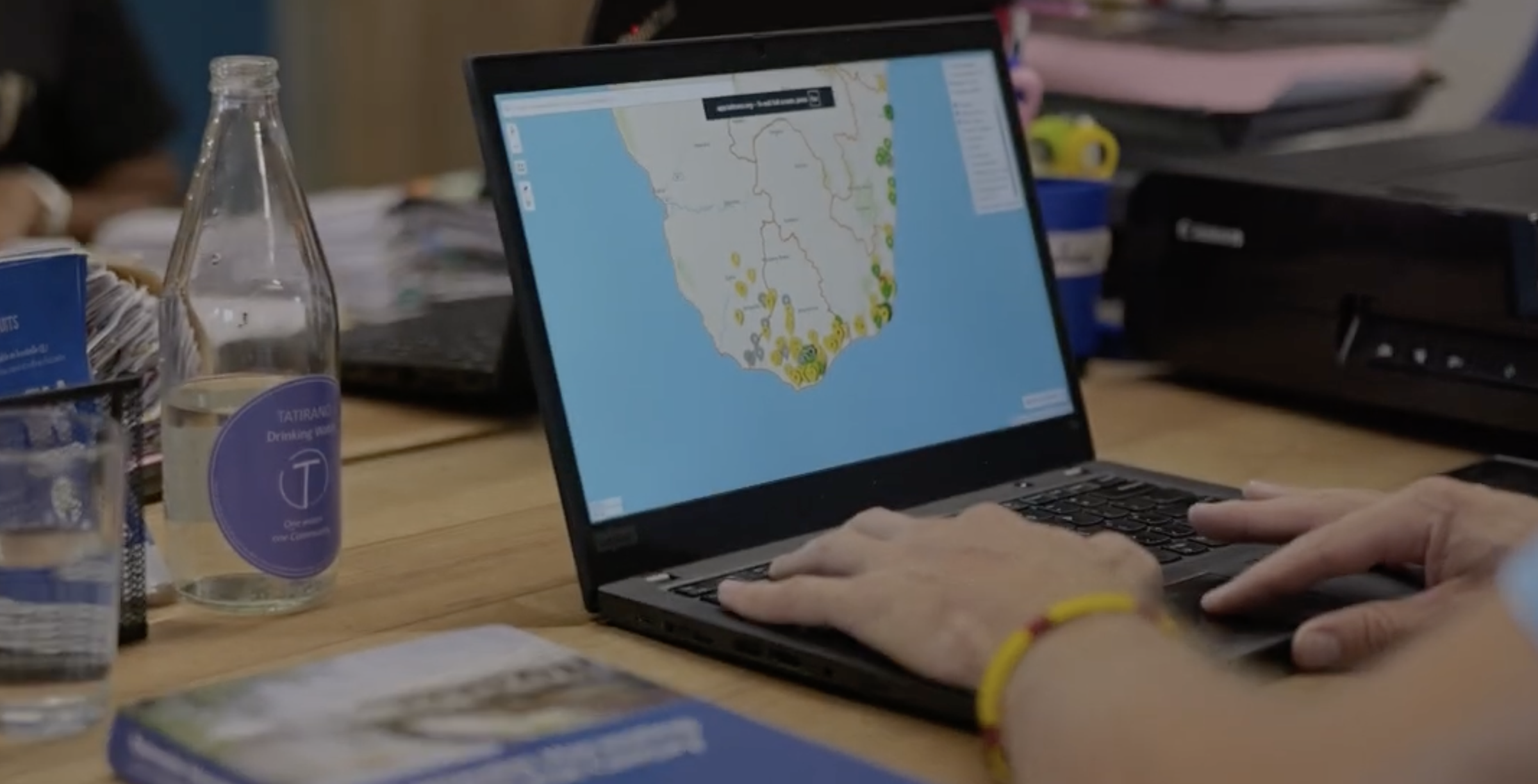
Data from the GPS watch, mapped to show the routes families walk to collect water.
"Once we've got all that data on a map, we can easily see where the communities are with the gaps in high-density population overlaid with where there are gaps in water collection, so we can actually make proper decisions that are efficient," Harry said.
With the gaps mapped, Tatirano installed water kiosks in the communities the data showed were being missed.
The organization built Statirano, a monitoring platform that tracks all 119 water systems across the region in real time, flagging which are active, which need repair, and which communities are still reporting unmet need. Harry said Tatirano still uses that data today to decide where new kiosks are needed.
All of the mapping data was made openly available on OpenStreetMap, so other organizations working in the region could see where work was already happening and direct resources to communities still being missed.
What Changed on the Ground
Today, Statirano tracks every one of Tatirano's water systems in real time, whether it's a physical installation at a school, a public kiosk, a private site, or a commercial location. For each one, the team can see where it is, its capacity, its maintenance history, photos, how much water it's dispensed, and how many people use it.
The platform also monitors water quality, checking for things like acidity, bacteria, and salinity, so problems can be caught and fixed before anyone drinks unsafe water. If a system runs dry because the rains haven't come or breaks down, Statirano flags it.
As of July 8, 2026, Statirano tracks a growing network of water systems across the region, some actively dispensing water, some awaiting repair, and others planned or under construction. Every week, communities across the region rely on Tatirano's systems, which have delivered water since September 2019.
The mapping data still guides where the next truck or kiosk goes, and which villages need it most.
"We work with water starting from the Manambovo River. From there we dig to access the source and regularly test the water... After testing the water, we pump it up using a motor pump powered by a generator. Then it flows into our jars. Once inside, the water is filtered through gravel, small stones, sand, and other materials," said Soja, a water technician at Tatirano.
Swipe left to see more →
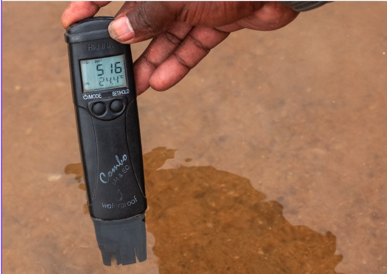
Water from the Manambovo River is regularly tested before collection.

Water is pumped from shallow wells dug in the river bed during the dry season.
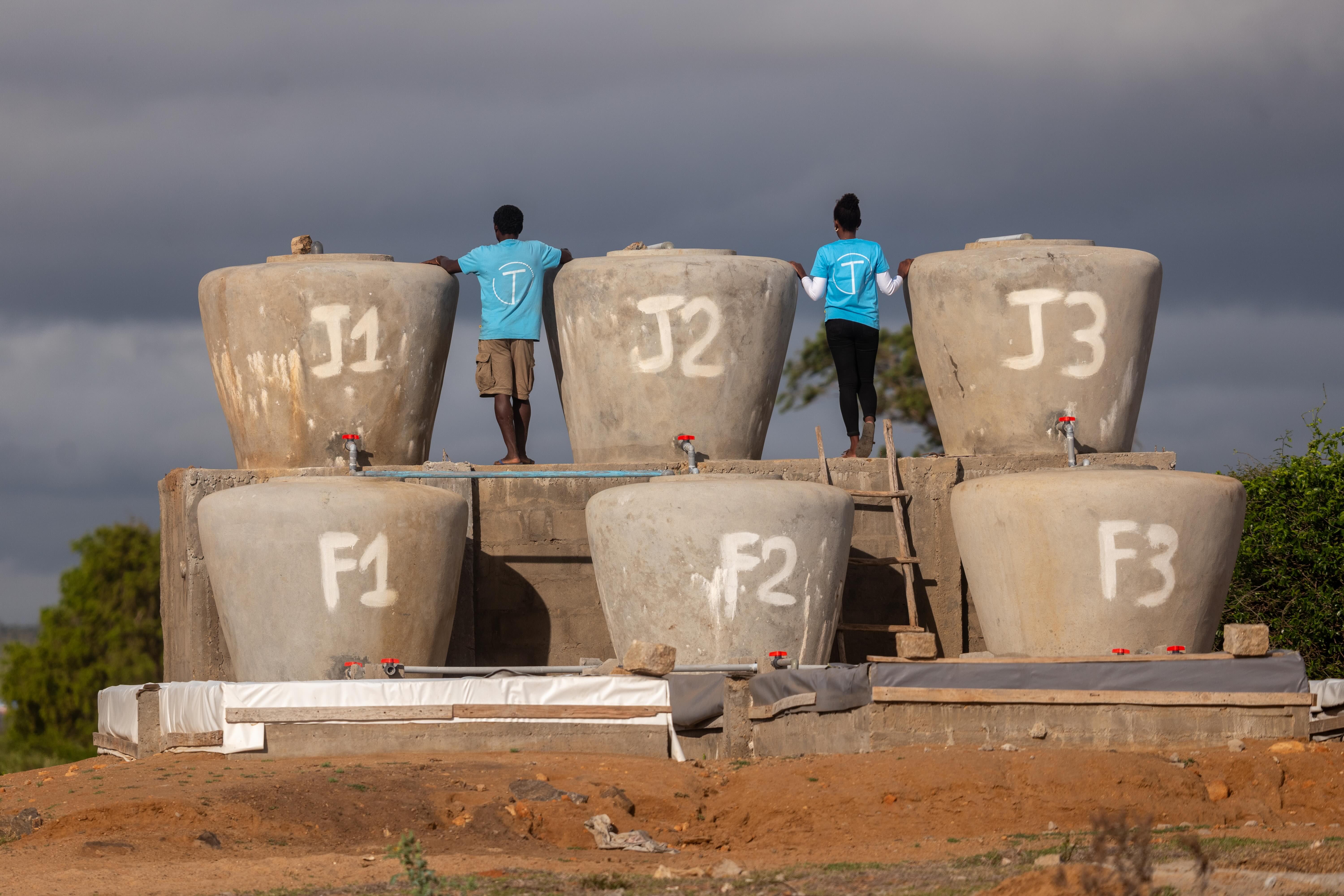
Water is then collected in jars, where it's filtered through gravel, stones, and sand.
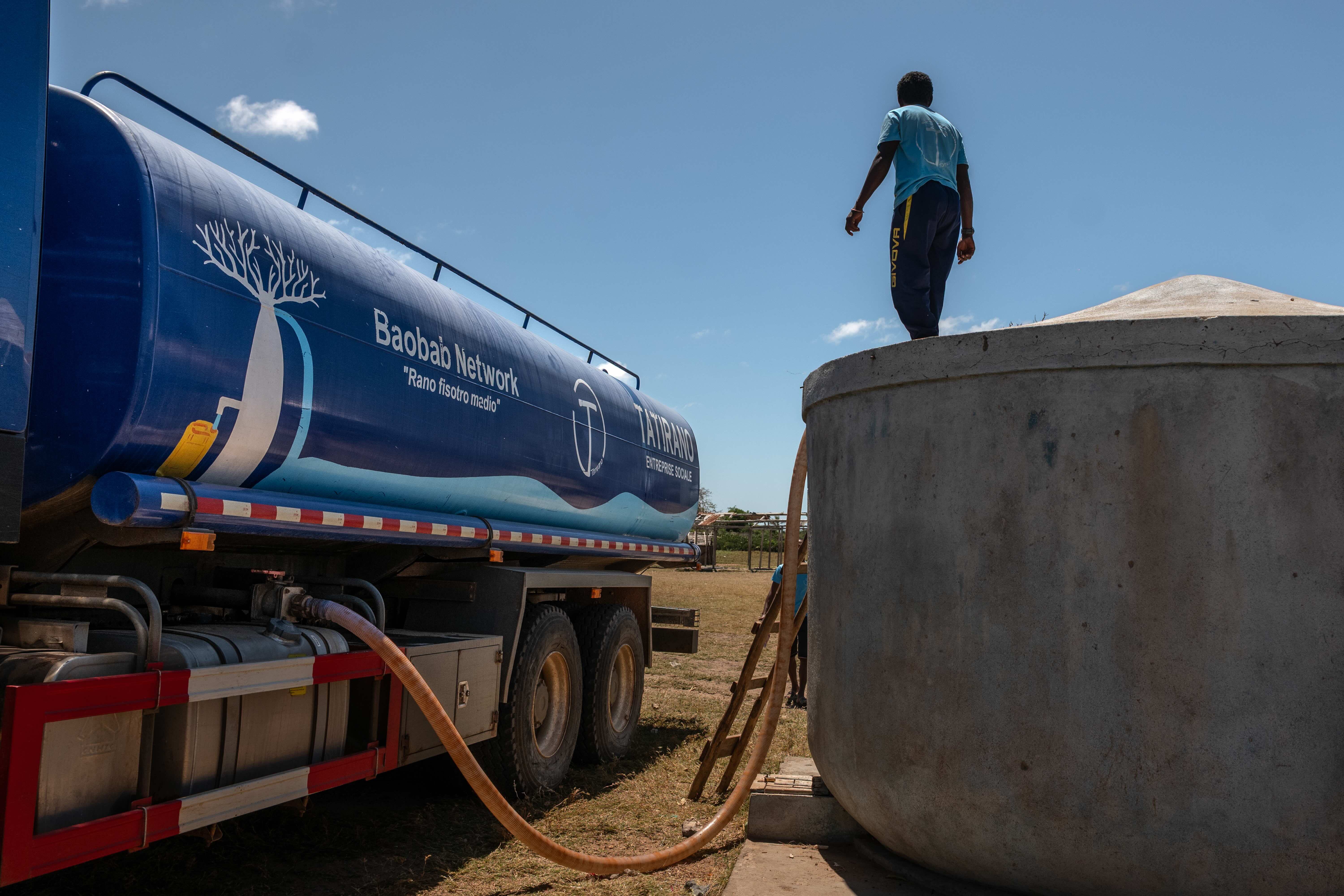
Filtered water is then transferred to trucks.
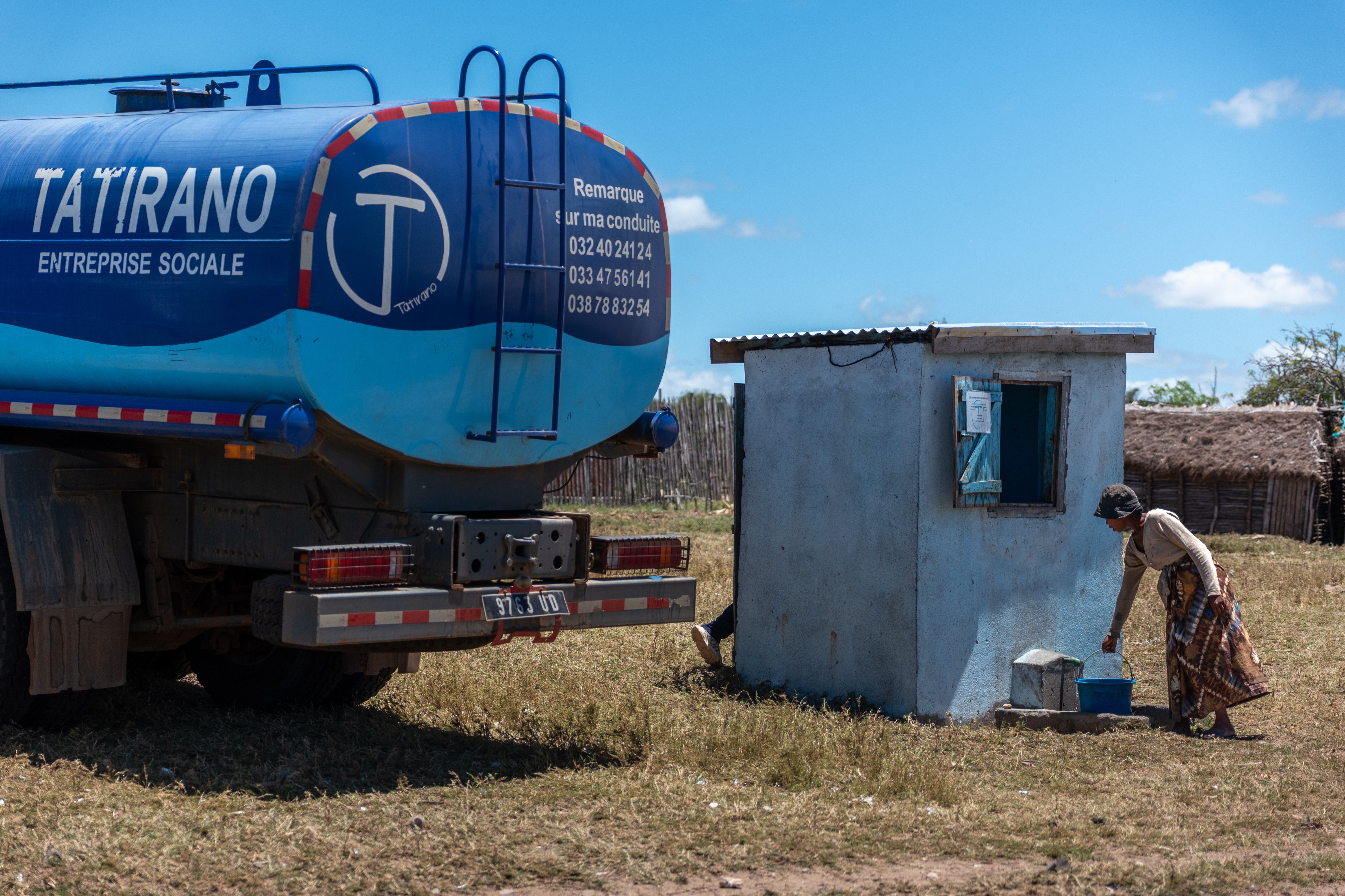
The water is transported to community kiosks, where it's stored and sold.
What Water Access Means for Lafike Now
Once a kiosk is installed in a village like Lafike's, the price of a 20-litre container drops from as much as $0.44 (about 2,000 ariary) to $0.15 (about 700 ariary).
"Communities already know where to find water. What we do is not come in to change anything, but we use data, and we work with communities to understand how we can improve the way that water is collected, distributed, and sold," Harry said.
The grant that funded this mapping ended in 2025. The data is still live on OpenStreetMap, and Tatirano is still using it alongside Statirano to make decisions and support communities.
For Lafike, the walk to the sea is no longer necessary.
"For 700 ariary [about $0.15], we can buy some. It's a joy to have it near us. It's a relief because before, we had to go really far to get water," Lafike said.
Watch the documentary following this project's work:
Interested in This Work?
This project was made possible through HOT's Open Mapping Grant V2 (OMG V2), which supported Tatirano Social Enterprise in using open mapping to improve access to clean water in southern and southeastern Madagascar.
If you're a partner interested in replicating or scaling this model elsewhere, we'd love to talk. Reach out to us at esahub-info@hotosm.org
Share


