Conflict & Displacement
Our goal is to use open maps and data to strengthen humanitarian efforts in complex emergencies, helping to deliver life-saving aid and support projects for vulnerable communities.
About the Program
Compounding social, political, and environmental risks are leading to a surge of people in need of humanitarian aid with increasingly limited resources. A record number of people are living in displacement and in areas of difficult access. Gathering information in these areas can be challenging, which is where HOT works with local and global mapping communities to fill these gaps through coordination and improved data crowdsourcing.
Understanding the geographic context of conflict affected areas, including where people are, how to access them, and the state of local infrastructure is critical to plan adequate aid to meet basic human needs. Through this program, HOT collaborates with expert partners to link crowdsourced and participatory mapping methodologies to humanitarian data users. Our context specific projects address spatial data gaps and promote the responsible use of open data and methodologies in conflict-affected areas, areas of displacement, and host communities.
HOT holds itself and its partners to highly responsible data standards guided by HOT’s data principles. All work done through this program complies with HOT’s data protection framework.
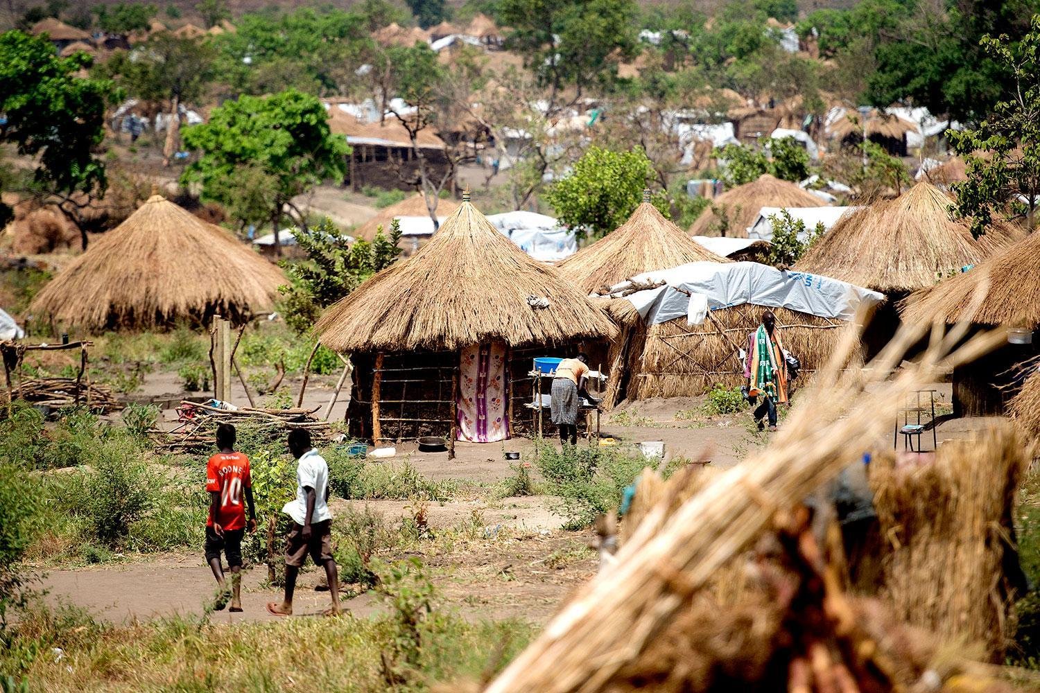
Cover Photo / Side: Somali National Army Beletweyne, Somalia - Tobin Jones / Bidibidi Refugee Settlement, Yumbe, Uganda by Yilmaz Polat
Stats
+3,263,682
Edits in OSM
5
Countries Worked In
2,604
OSM Datasets Globally
Goals
Accurate damage estimates
- Baseline infrastructure location data
- Analysis ready data
- Damage estimate datasets comparison
- Clear and usable infrastructure damage data
Displaced people are accounted
- Accurate humanitarian needs assessments
- Remote crowdsourced methods to locate new displacements
- Participatory tools for coordinated data collection in camps
Humanitarian data sharing
- Streamline humanitarian data sharing to OSM
- Data insights and access to key datasets
- HDX data grids
- IM & GIS Collaboration
Projects


Meet Our Partners


