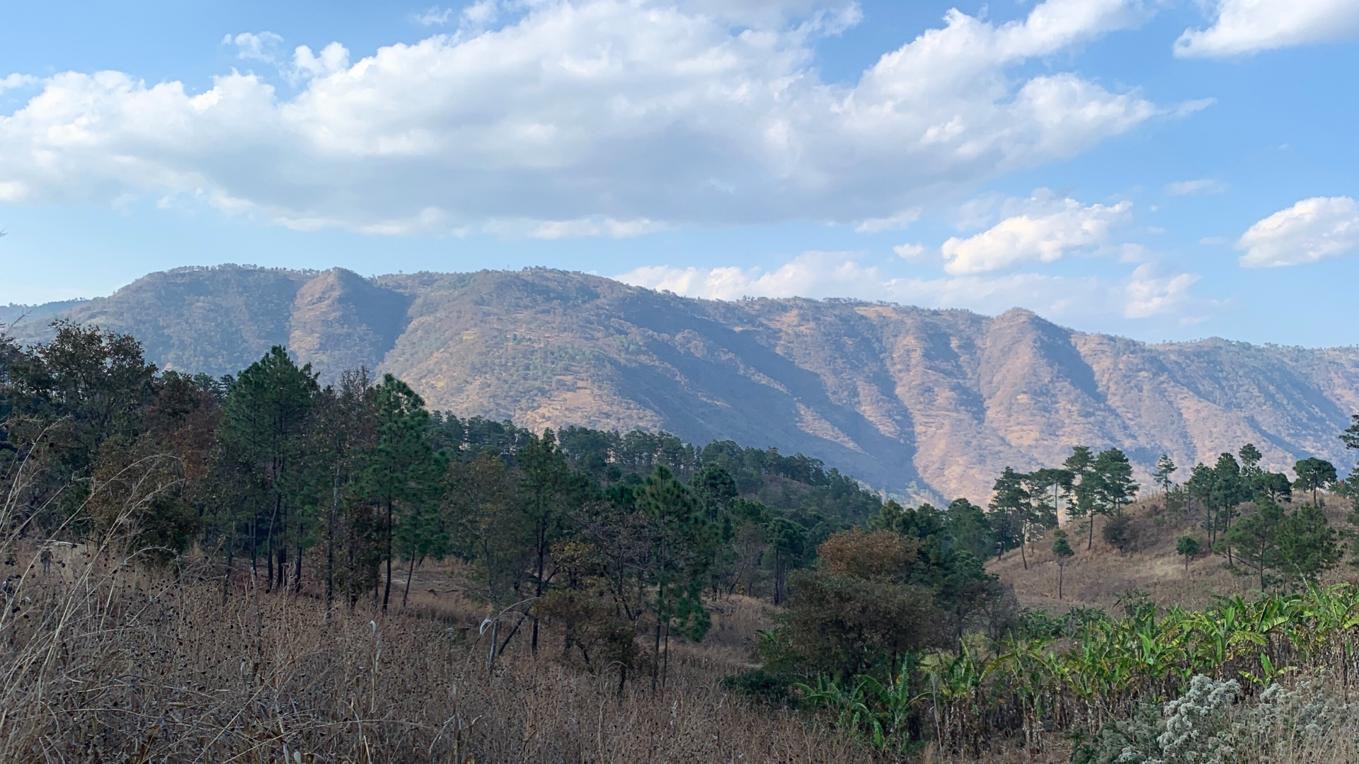
Open Cities Guatemala: San José Poaquil, Chimaltenango

Forests provide Guatemala with climate change adaptation and mitigation benefits. Environmental pressures threaten the conservation of local biodiversity and the well-being of the people who depend on these ecosystems for their livelihoods. This project aimed to give the residents of San José Poaquil, Chimaltenango, skills to produce comprehensive data on their territory.
Objective
The OpenCities Guatemala Project focused on developing a concept called “Community Forest Management Model supported by geographic data”. The central idea behind this concept is to encourage and support the formulation of projects and initiatives for forest conservation, forest restoration and sustainable forest management at a community scale, through a process of building capacities for the generation of geographic data and the creation of an information platform that contributes to planning, monitoring and decision-making on sustainable forest management projects at the community level in selected territories.
Background
Building on the success of Open Cities projects in Asia and Africa, OpenCities Guatemala is developed in line with GFDRR’s Resilient Cities Program and is executed through a unique partnership between GFDRR and the Humanitarian OpenStreetMap Team, in which HOT assumes the role of implementing partner of the project providing technical assistance and quality control to local communities, as well as support with the development of training material, through processes that aim to catalyze the creation, management and use of open data in the production of innovative solutions for territorial planning and resilience.

Stakeholders
Guatemala is a multiethnic, multicultural, and multilingual society where diverse indigenous peoples coexist. Various indigenous organizations come together in this project and work is done especially with the ancestral indigenous authorities and the Confraternity of the town of San José Poaquil.
This confraternity is an organization with pre-Hispanic origins made up of six confraternities, and it is articulated with the Sotz’il NGO Association, an indigenous organization constituted under an organizational model based on community participation, which allows it to generate alternative proposals in social, economic, environmental and cultural fields, in search of the utz k’aslemal or “good living”, a concept associated with collective well-being in harmony and balance, with an integral development.
The confraternities:
-
Cofradía del Santísimo Sacramento
-
Cofradía de San José
-
Cofradía de la Virgen María de Concepción
-
Cofradía de Jesús Nazareno
-
Cofradía del Domingo de Ramos
-
Cofradía de Esquipulas

In this first stage, the project focused on working with a group of women and men, local indigenous youths who have formed a working group that makes efforts to preserve communal forests and sacred sites in the municipality of Poaquil, through the use of technological tools that help improve their capacities for forest management and agriculture, as well as to prevent and mitigate threats that hang over their forests such as pests and forest fires.

Workplan
How do we work?
Collaboratively with the community, the decision made was to focus the project on supporting and providing assistance and technical support to a group of young local mappers -appointed by the ancestral indigenous authorities of the Indigenous Mayor’s Office and the Ancestral Brotherhood- to develop their mapping skills. generation and use of geographic data to strengthen their initiatives for sustainable management and conservation of their community forests.

The working group was made up of young indigenous people with university studies, all of them were born in the municipality of San José Poaquil, aged between 21 and 30 years. Around half of them working in the information and communication technologies area. Some were participants in the DASSO Project (Data and Drones for Sustainable Agriculture) in which they had used images and video captured by drones to monitor the state of forests and agricultural plots.

In order to develop the skills of the members of the San José Poaquil working group so that they can assume the process of filling the data gaps identified in the previous phase to adequately address the problem statement, it was formulated an ambitious Plan for Strengthening Capacities in the generation and management of geographic data for community forest management.

By carrying out a series of preparatory activities, the plan was designed to cover 3 main areas, namely:
-
Area 1: Data collection techniques and generation of geographic information
-
Area 2: Management and processing of geographic data
-
Area 3: Use and exploitation of geographic information for the purposes of the project and other purposes of local community interest

This plan constituted one of the pillars of the Open Cities Guatemala Project, since it prepared the project participants for their involvement in activities for the collection of geographic information, mapping, spatial data management and its use to address the problem posed. The plan was formulated by the Geotecnológica team -the local implementing partner- and subsequently presented, discussed and approved jointly with the local counterparts of San José Poaquil, as well as with representatives of the MDE Project.

With the implementation of the Plan for Strengthening Capacities on Open Mapping in the municipality of San José Poaquil, A community of people with skills and competencies in open mapping techniques and technologies was created, a community that can generate and manage geographic information about their territory, which allows them to improve their capacities to manage and conserve the community forest of the municipality as well as to formulate, manage and implement other local initiatives related to sustainable development, risk management or any issue of local interest that is related to the characterization of their territory.

Phase Two of the project has consisted of building community engagement, training, data collection and processing with the participation of people from the community. In this phase, the Geotechnological team addressed critical data gaps relevant to addressing the information deficit for community forest management.
Special work has been done to achieve an adequate level of commitment and involvement of local actors in San José Poaquil through the participatory development of the forest data model, in order to fill the data gaps necessary for forest and community planning.
Project Closure
The project concluded successfully by completing the exhaustive collection of information, including additional data related to the monitoring of forest fires that have occurred during the execution period. In addition, the technical skills of the San José Poaquil community have been strengthened through additional activities.
The complete information, along with a technological platform that allows the visualization of data and the crossing of information, as well as the insertion of data collected in the field in the future, has been delivered to the Sotz’il Association, who acts as coordinator of the Specific Dedicated Mechanism for Indigenous Peoples and Local Communities (MDE).
These products are now hosted on a publicly accessible server in the infrastructure of the same association, for which management capabilities have also been developed among the technical staff.
Currently, we are in conversations to guide future replications of the project in other communities in the country that could benefit from the same MDE.
Recent news from Open Cities Guatemala: San José Poaquil, Chimaltenango (View all news)
Indigenous worldview in community forestry management through open data
Explore the Open Cities Guatemala Project, enhancing Indigenous autonomy in San José Poaquil. Discover the innovative use of geographic data, participatory mapping, and tech-enabled applications in sustainable community forestry management.