Participatory Mapping for a Sustainable Amazon

The project seeks to strengthen community capacities in Bolivia, Colombia, and Guatemala to develop participatory mapping initiatives that contribute to the conservation of tropical forest ecosystems — including the Amazon and other Mesoamerican forests — and to climate change adaptation. Through the use of open-source technologies and the dialogue of knowledge between academic and community actors, maps will be created to visualize socio-environmental conflicts, local protection initiatives, and opportunities to influence public policy.
CONTEXT
Tropical forest ecosystems face significant mapping gaps that hinder environmental management, territorial planning, and the defense of Indigenous communities’ rights. Despite hosting some of the planet’s greatest biodiversity, many areas of the Amazon remain invisible in accessible and collaborative maps. In this context, the Open Mapping Network has launched initiatives to connect community and academic efforts for participatory mapping of various forest ecosystems in the region—documenting both environmental threats and traditional methods of forest protection and sustainable use. This project is being implemented in strategic territories of Bolivia (Palos Blancos and Ixiamas) and Colombia (Santa Rosa, Bota Caucana), located in the Amazon, as well as in Guatemala (San José Poaquil), in the Mesoamerican Western Highlands, a region of subtropical montane forests facing similar challenges of deforestation, extractive pressures, and exclusion of local knowledge from territorial planning. Although the ecosystems vary, they all share an urgent need to produce geographic data through a collaborative and culturally relevant approach.
METHODOLOGY
The project follows a transdisciplinary approach combining remote and field mapping, knowledge dialogue, and experience systematization. Tools such as OpenStreetMap, Tasking Manager, Drone TM, and participatory techniques will be used to identify critical conservation areas, socio-environmental conflicts (e.g., deforestation, mining, illicit crops, and climate change), as well as protection actions promoted by local communities. Training cycles will be conducted in each country to build capacities in free geospatial technologies, and a communication campaign will be developed to influence public policies and promote the social use of the data generated.
EXPECTED OUTCOMES
- Three participatory mapping projects implemented in Bolivia, Guatemala, and Colombia, with data hosted on OpenStreetMap.
- A training booklet on participatory mapping, biodiversity, and climate change adaptation, based on the learning cycles and community systematizations.
- A communication and public advocacy campaign, co-created with community and academic actors to highlight the importance of mapping in strategic forest ecosystems in Latin America.
- An academic article on the use of participatory mapping to influence public policy in Indigenous territories and tropical forests in the region.
EXPECTED IMPACT
- Strengthened organizational and technological capacities in Indigenous and rural communities for monitoring and defending their territories.
- Strategic use of open platforms and data by local governments and community organizations to design conservation and sustainable management programs.
- Collaborative agendas between academia, communities, and authorities for ecosystem protection and the preservation of local ways of life.
- Consolidation of the Open Mapping Network as a regional reference in transdisciplinary research and participatory mapping in diverse forested and socio-environmental territories across Latin America.
This work is being carried out with a Seed Grant from the Inter-American Institute for Global Change Research (IAI) under the program “Tropical Forests in the Americas: Transdisciplinary Approaches for Environmental Transformations,” SG-TF-2024.
Recent news from Participatory Mapping for a Sustainable Amazon (View all news)
On the Frontlines of the Climate Crisis: A Journey to the Bolivian Amazon
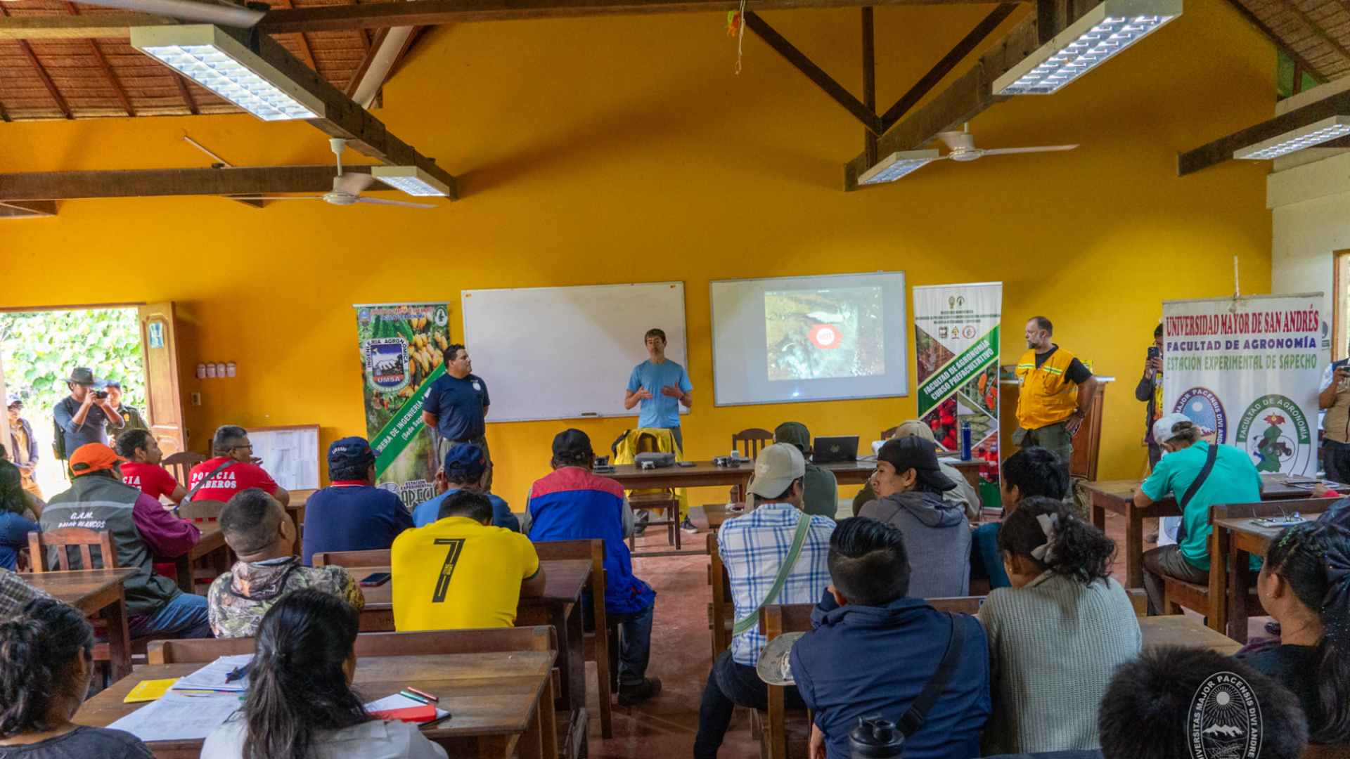
In Sapecho, Bolivia, Indigenous communities, park rangers, and firefighters come together in an open mapping workshop to prevent wildfires and manage their territory with humanitarian technology.


