![]() Campaigns sized by edits
Campaigns sized by edits
Colombia
Colombia has 7 HOT projects and 3 voting members
Read more about each project below or learn more about getting involved.
Get in touch with HOT or reach out to the local community.
Contact HOT
info@hotosm.org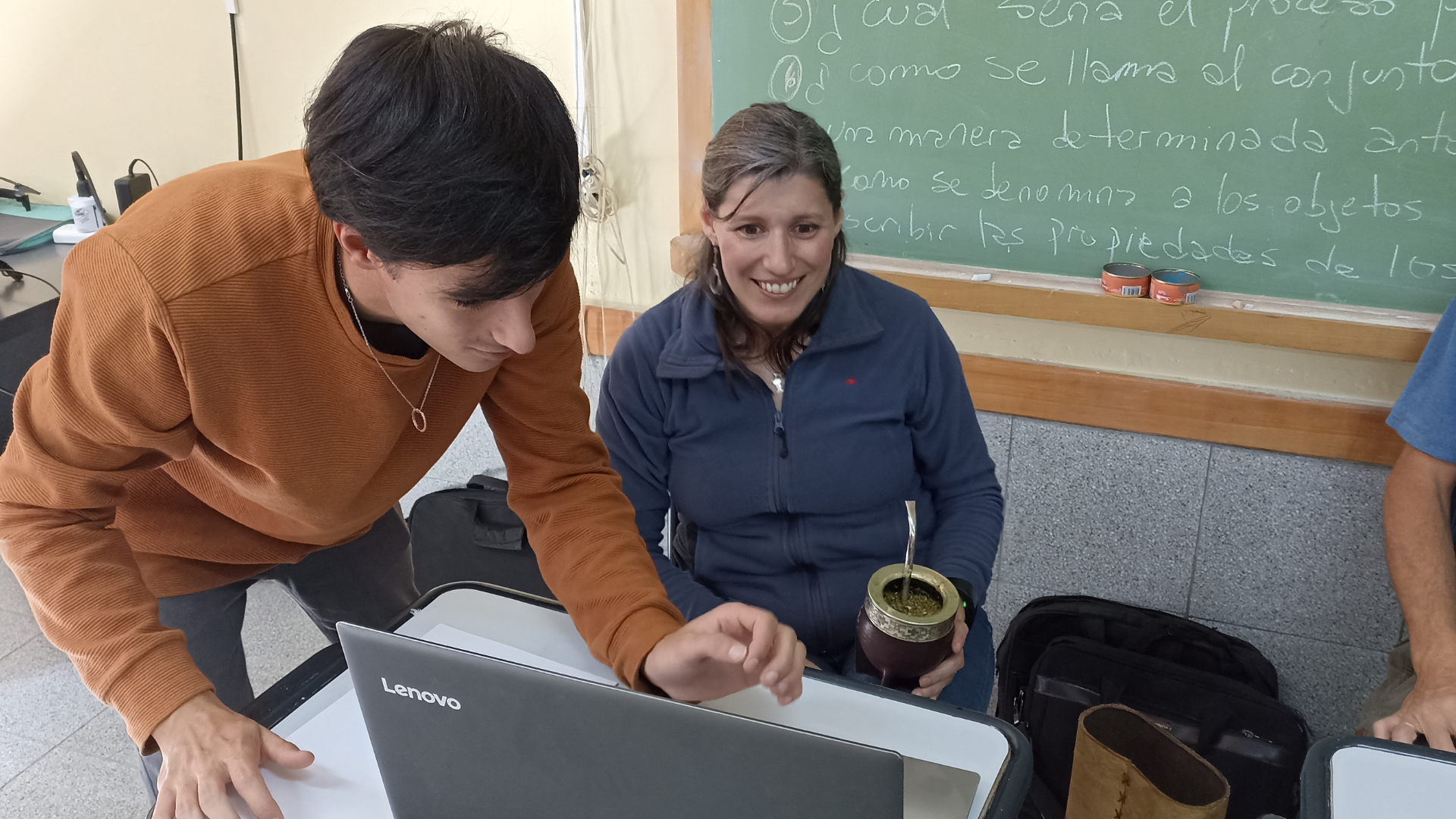

Recent news from Colombia (View all news)
Mapeos participativos para una Amazonía sostenible: tecnología y saberes para defender el territorio
"Mapeos participativos para una Amazonía sostenible" avanza en Bolivia, Colombia y Guatemala, uniendo diálogo de saberes y tecnologías libres para fortalecer la autonomía territorial de comunidades indígenas en la Amazonía y Mesoamérica.
Participatory mapping for a sustainable Amazon: technology and local knowledge to defend the territory
"Participatory Mapping for a Sustainable Amazon" is advancing in Bolivia, Colombia, and Guatemala, bringing together knowledge exchange and open technologies to strengthen the territorial autonomy of Indigenous communities in the Amazon and Mesoamerica.
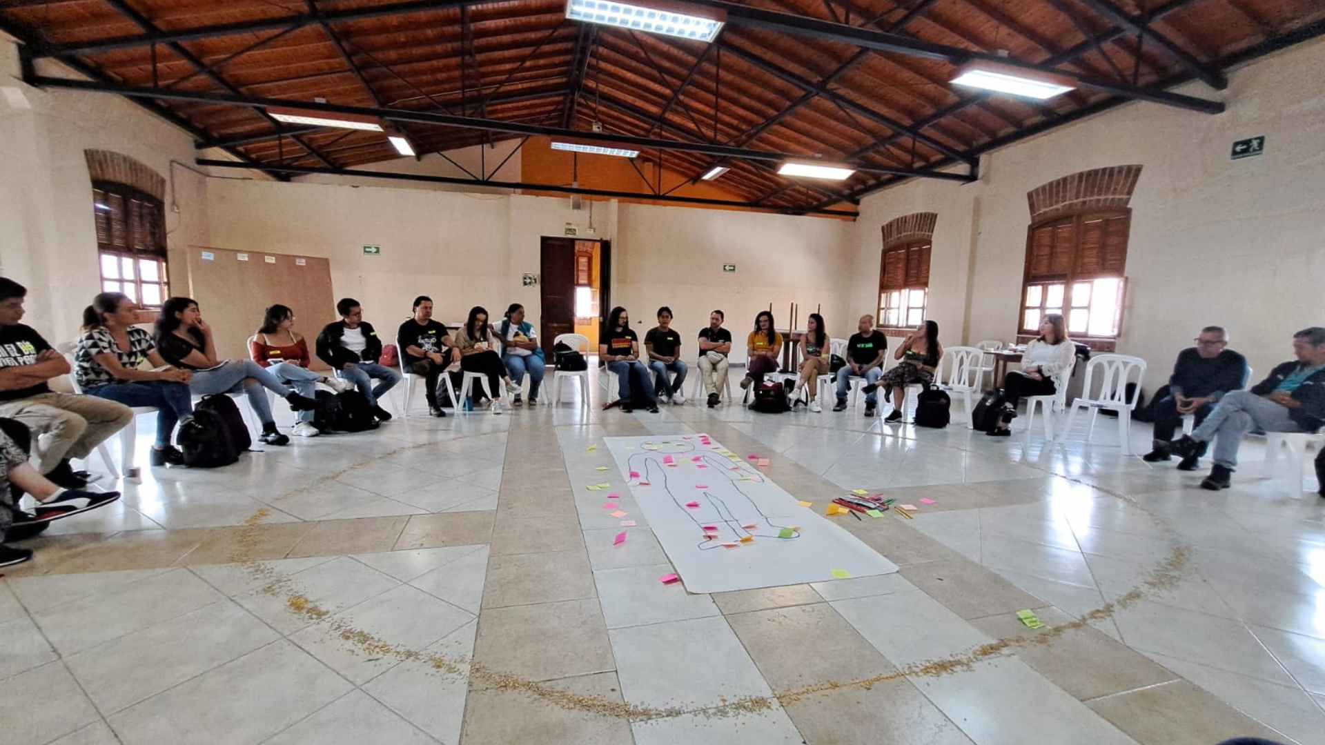
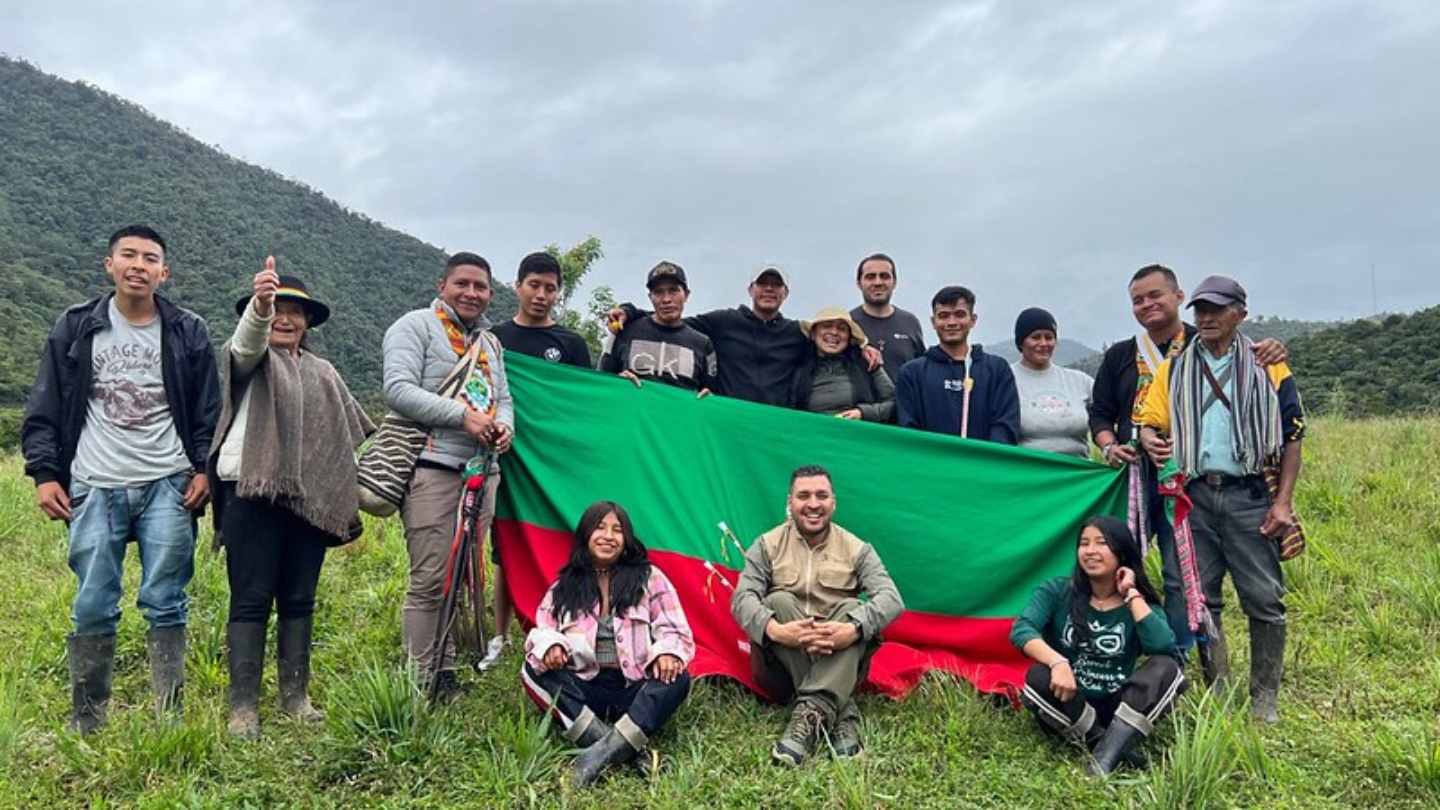
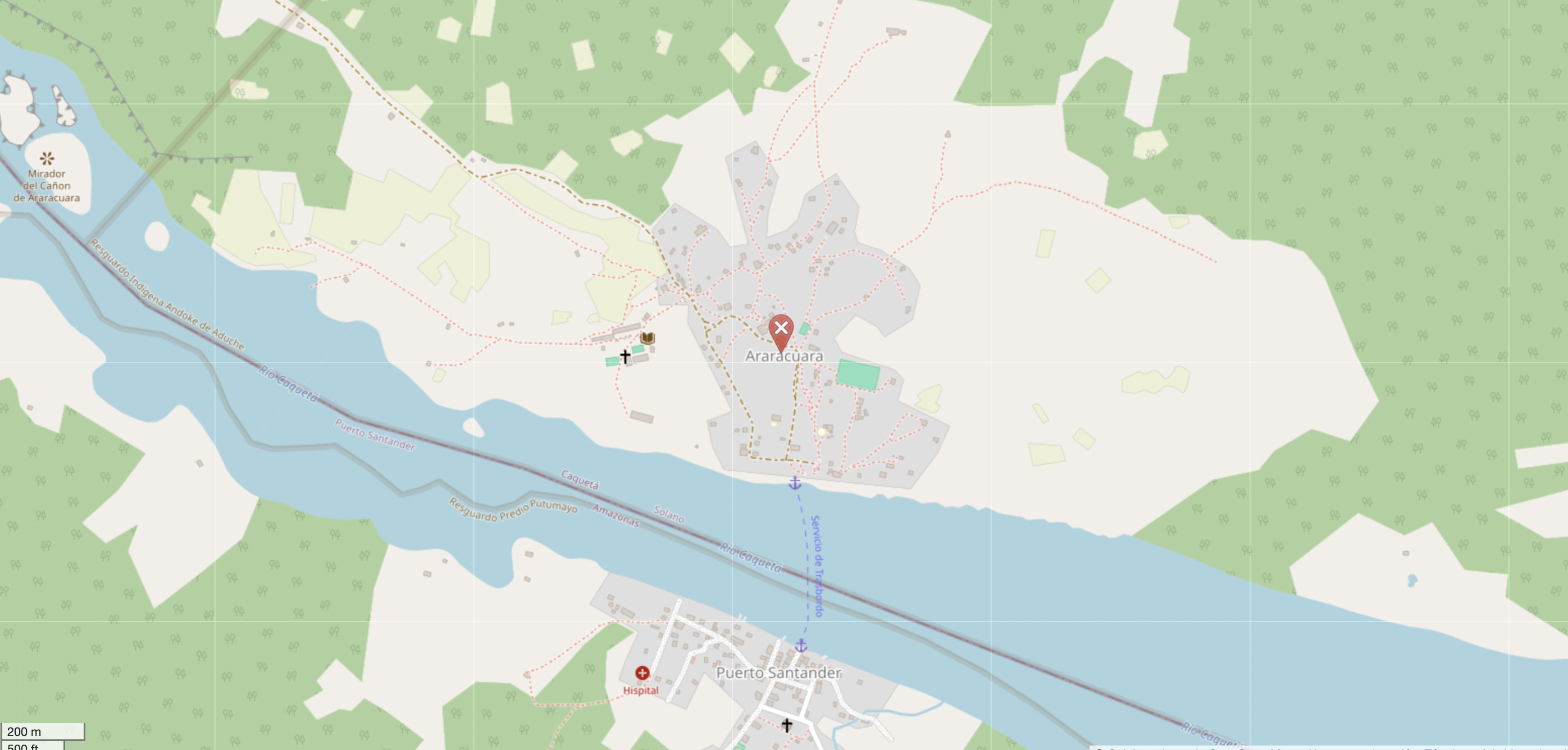
Community Mapping in the Andoke de Aduche Indigenous Reserve in the Colombian Amazon
Community mapping in Araracuara strengthens the territorial management of the Andoque people through the use of drones, OpenStreetMap, and GIS. The initiative combines ancestral knowledge and technology to document and protect their territory in the face of deforestation and climate change.
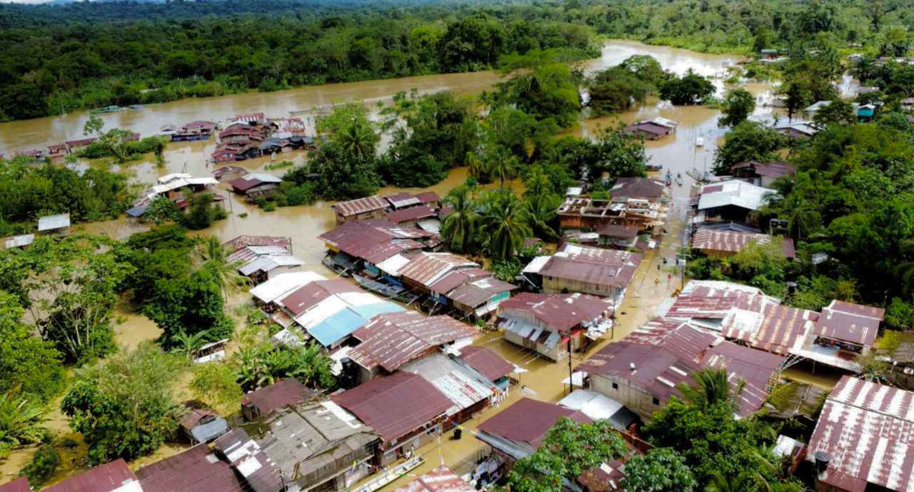
Mapatones Anuales Anticipatorios: Innovación y Colaboración para Cerrar Vacíos Cartográficos en Latinoamérica y el Caribe
Los Mapatones Nacionales Anuales Anticipatorios (MANA) son una estrategia innovadora para cerrar vacíos cartográficos en América Latina y el Caribe, fortaleciendo la prevención y gestión de riesgos. En 2024, los MANA impactaron en Ecuador, Perú, Colombia y Guatemala, demostrando el poder del mapeo abierto para construir comunidades más resilientes.
Mapeo Comunitario en el Resguardo Indígena Andoke de Aduche en la Amazonía Colombiana
Mapeo comunitario en Araracuara fortalece la gestión territorial del pueblo Andoque mediante el uso de drones, OpenStreetMap y SIG. La iniciativa combina conocimientos ancestrales y tecnología para documentar y proteger su territorio frente a la deforestación y el cambio climático.
Anticipatory Annual Mapathons: Innovation and Collaboration to Close Mapping Gaps in Latin America and the Caribbean
The Annual National Anticipatory Mapathons (MANA) are an innovative strategy to close mapping gaps in Latin America and the Caribbean, strengthening risk prevention and management. In 2024, MANA made an impact in Ecuador, Peru, Colombia, and Guatemala, showcasing the power of open mapping to build more resilient communities.