News — 25 May, 2017
LEGIT Kicks off Field Mapping with Training in Monrovia

In collaboration withDAI, HOT is currently working in Liberia to help put communities on the map. As part of the Liberia Local Empowerment for Government Inclusion and Transparency (LEGIT) project funded by USAID, we are working with stakeholders in the cities of Zwedru, Ganta, and Gbarnga, to map infrastructure and services, such as water points and health facilities. This mapping process will assist the Ministry of Internal Affairs and Governance Commission in their efforts todecentralize the government of Liberia.

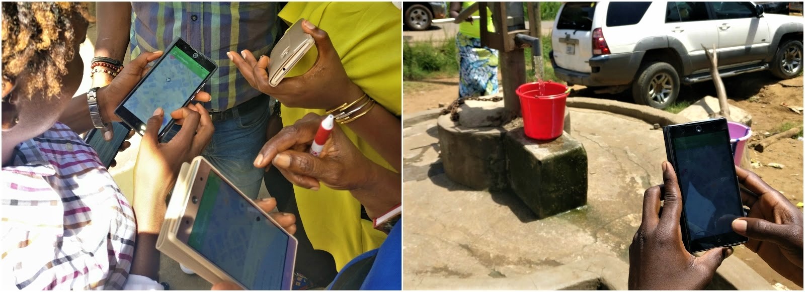
Before heading out to map these cities, representatives from local government and organizations joined us in Monrovia in April to gain practical, hands-on training that will enable them to assist the LEGIT field mapping process as well as incorporate these methods into future projects. Participants learned about geographic information systems (GIS), OSM, and the OSM editing process using HOT’s Tasking Manager, iD editor, and JOSM, as well as mapping tools such as OMK, Maps.me and ODK.
During two days of the workshop, participants had the opportunity to test their new skills in the field. Participants set out in small groups to map buildings and amenities of the surrounding area using OSM-based mobile data collection applications. Walking through the surrounding streets and neighborhoods, participants engaged with the local community to gather information about the amenities they were mapping. This exercise gave participants an opportunity to see how volunteers will collect data in Zwedru, Ganta, and Gbarnga cities.
By the end of the workshop, participants gained “a whole package of knowledge”, as one attendee described. The hands-on components—data collection and uploading data to OSM—were seen as a critical aspect of the workshop that will allow them to use these skills in the future. Many representatives felt that they gained new insight into how maps can be used for city planning, service distribution, and other applications.
Following up from the training in Monrovia, HOT is providing this hands-on training to local community members in Zwedru, Ganta, and Gbarnga. In each city, a three week mapping exercise is organized with participants from local city corporations, community-based organizations, and civil service organizations to map amenities, services, buildings and other features. By now, the team has already finalized mapping in Zwedru, and will be sharing more stories on this city in the coming days.
This update was written by Jessica Beutler, Project GIS Intern