David Luswata
Bio
David Luswata is a HOT voting member.
Posts
Mapping for El Niño 2023 Early Warning and Anticipatory Action
Join the ESA Hub, FAO, and mappers across Eastern and Southern Africa to prepare for upcoming El Niño rains.
HOT Supporting the Greater Accra Resilient and Integrated Development Project to Protect Communities from Flooding
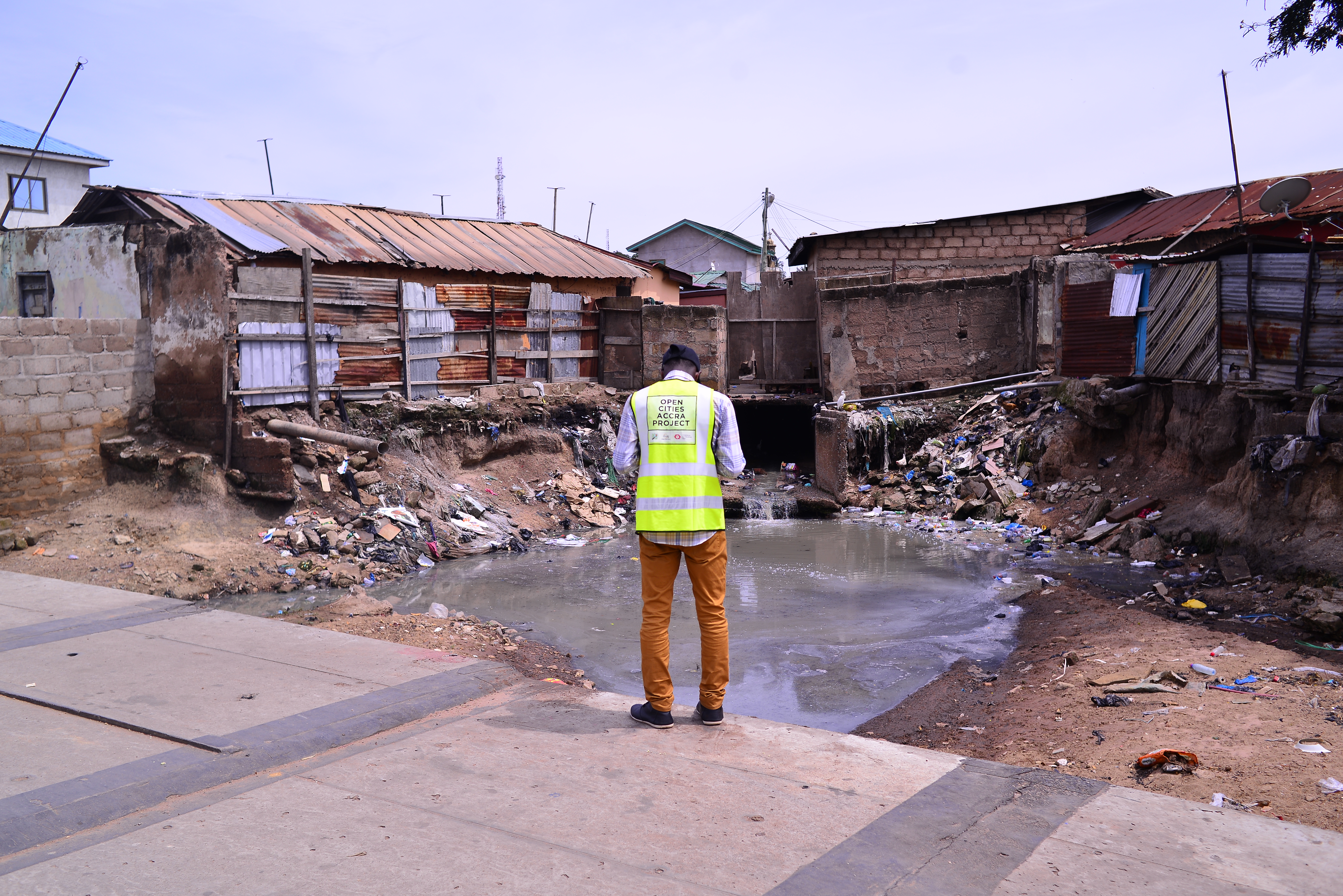
Flooding has plagued the Ghanaian capital of Accra for years, so HOT worked with Mobile Web Ghana and OpenStreetMap Ghana to develop data on local buildings, drainage, and infrastructure that communities and municipal authorities could use to make vulnerable neighborhoods more resilient.
Tackling Coastal Flooding in Monrovia Slums: Understanding through partnerships, one community at a time
In the informal settlements of Liberia’s largest city, Open Cities Africa is introducing a dynamic open data workflow to support urban planning and protect...
My Experience as a Student Mapper: Open Cities Accra
Open Cities Accra has conducted detailed mapping in Alogboshie community and its environs to improve resilience to natural disasters, especially flooding. Alogboshie, a suburb...
GIS Training for LEGIT stakeholders in Liberia
2017 was a busy year in Liberia, being crowned up with the first peaceful and democratic transition of power in 47 years, and football...
LEGIT Completes Field Mapping in Three Cities in Liberia
As part of the Local Empowerment for Government Inclusion and Transparency (or LEGIT) project, funded by USAID, HOT and DAI teamed up to map...
LEGIT Kicks off Field Mapping with Training in Monrovia
In collaboration withDAI, HOT is currently working in Liberia to help put communities on the map. As part of the Liberia Local Empowerment for...
Mapping for government inclusion and service delivery in Liberia
Liberia is the oldest Republic on the African continent and one of those that have gone through tough times across the continent including the...


