Building Community to Build Resilience - OpenCities Saint Lucia Impact
Posted by Louise Mathurin Serieux • Dec. 7, 2023
The island of Saint Lucia faces growing challenges due to climate change and, working with our local partners, we experienced first-hand how strengthening the community builds greater resilience. Get more details in this post!
The focus of the OpenCities Project Saint Lucia was mapping areas most vulnerable to floods and landslides and building resilience in communities such as unplanned settlements in high flood zones. However, when taking a closer look at the project, one would see its impact beyond “just mapping”, and specifically with regards to the strengthening of the mapping community on the island. This blogpost provides highlights of how this project impacted the open mapping landscape, for further details please go to the Impact Report.
Mapping for Resilience
The Caribbean island of Saint Lucia is generally known for its natural beauty and vibrant culture. However, in the backdrop of climate change and the island's inherent susceptibility to disasters, the livelihoods and environment is at increasing risk. Saint Lucia's vulnerability to these environmental threats has raised critical concerns regarding the resilience of its communities.

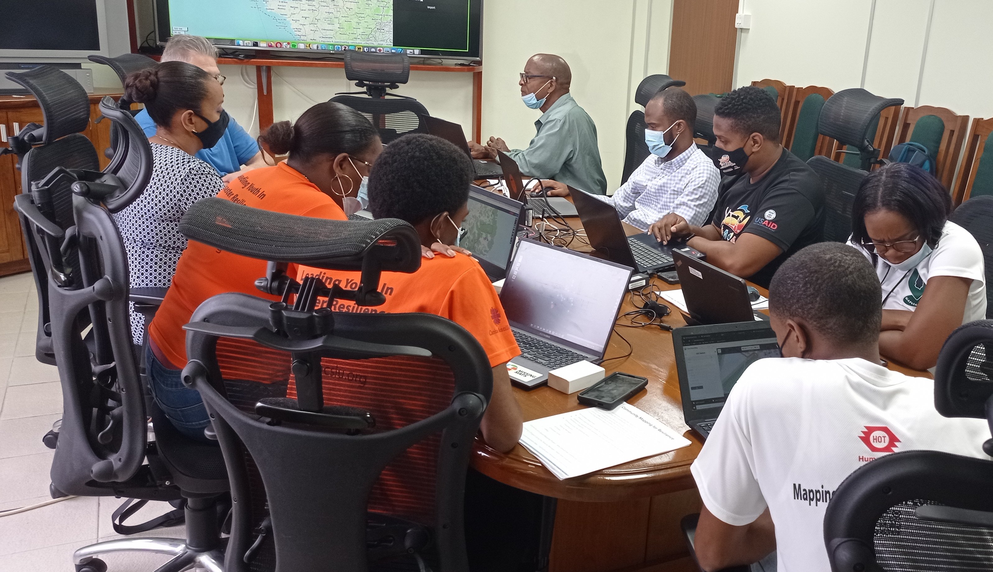
In response to these challenges, the project focused on supporting communities in mitigating the impacts of these hazards through the enhancement of the use of geospatial data. Working closely with local partners; the focus communities of Bexon, Castries and La Ressource, Vieux-Fort were mapped both remotely and through field mapping exercises. There was an intense focus on training sessions towards ensuring that the cadre of volunteers and partners did not only have the capacity to map; but to also utilize that knowledge in planning and executing as it related to disaster response.
The aim was to ensure sustainability by empowering stakeholder agencies to enhance their decision-making, through better data access and to gain the ability to create, analyze and utilize open data as part of their decision systems and culture. The project activities fell under four (4) phases:
-
1: Evaluation and planning
-
2: Data collection and analysis
-
3: Design
-
4: Development and presentation

Building Community and Stronger Response Agencies
When the project rolled out, they entered a space where individual mappers existed - but who knew little about each other and their shared interests in using open map data to build resilience on this hurricane-prone island. Through a series of OSM trainings and mapping events executed through local partnerships, the OpenCities Project helped to breathe new life into an open-data ecosystem safe for dialogue, exchange and a space for the establishment of the island’s first OSM Group.
They were then able to gain the networking opportunities that came with the HOT Community Working Group’s Peer-to-Peer events; which allowed the new group members to exchange experiences with OSM chapters and user groups from across the globe; some of which had been established many years prior. The OSM St lucia chapter has since commenced the process of formalization, as well as coordinated with other islands to fulfill the vision of an Eastern Caribbean Regional OSM community.
The sustainability of this boost is also reflected in the global partnerships facilitated during the project such as the MOUs with the local Youth Emergency Action Committees(YEAC) and the Saint Lucia Red Cross. And is also shown in the potential strengthening of response agencies through the use of the DVDAT tool - which was designed and developed in phases 3 and 4 of the project. Not only does it serve as a basis for more efficient collection and sharing of data on disasters; but is an opportunity for improved data sharing between response agencies in Saint Lucia.

Project impact
The project involved 135 new participants (44% of whom were women), engaged with 3 public institutions. In addition, 24,035 new features were added on the map, 11,159 buildings and 381 km of roads were mapped, impacting approximately 81,279 people.
More details provided in the Impact Report.
This would not had been possible without our partners: Swiss Re Foundation, Global Facility for Disaster Reduction and Recovery (GFDRR), Caritas Antilles, Saint Lucia Red Cross, Youth Emergency Action Committees of Saint Lucia (YEAC), OSM Saint Lucia.
Share
