Mapping for El Niño 2023 Early Warning and Anticipatory Action
Posted by David Luswata • Aug. 10, 2023
Join the ESA Hub, FAO, and mappers across Eastern and Southern Africa to prepare for upcoming El Niño rains.
Join the Open Mapping Hub - Eastern and Southern Africa (OMHESA) and the Food and Agriculture Organisation (FAO), a UN body working towards saving lives of people across the globe through striving towards a sustainable and food-secure world for all, in a mapping campaign to create datasets in OpenStreetMap to be used in an impact based early warning system to inform early action, for the much anticipated El Niño.
El Niño is a naturally occurring climate pattern associated with warming of the ocean surface temperatures in the central and eastern tropical Pacific Ocean. It occurs on average every two to seven years, and episodes usually last nine to 12 months.
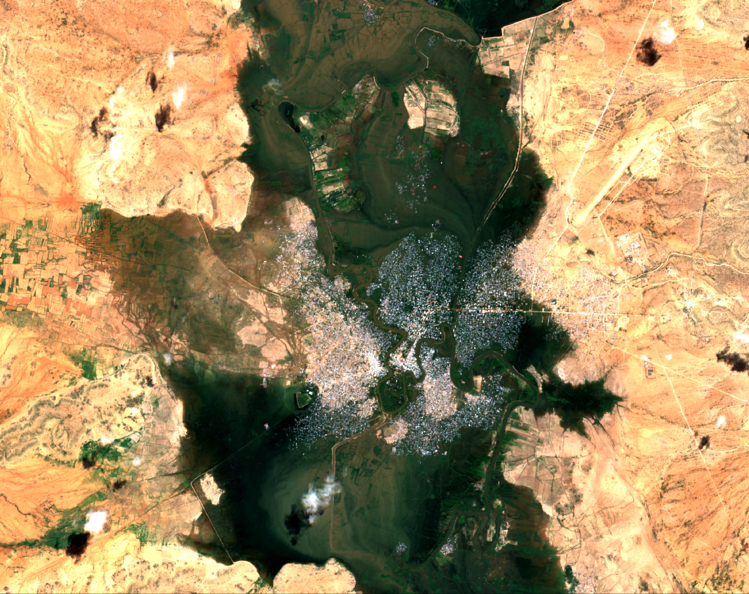
The effects of El Niño can be catastrophic for flood-prone areas, and the local people who live there. Excessive rains can cause flooding, landslides, and large-scale destruction of infrastructure, people’s homes, and livelihoods.
With this campaign, we will be mapping in Ethiopia, Kenya and Somalia to create datasets to support early warning flood systems so that the lives of people, their food sources, and property can be protected during the heavy winds and rain caused by El Niño. We will be working with FAO SWALIM and FAO RTEA.
We welcome mappers from across the region and globe to participate in this campaign and support #EarlyWarningForAll through mapping. To take part . . .
- Step 1: Register using this form. Registering helps us to easily stay in touch with everyone contributing to the campaign.
- Step 2: Go to the Tasking Manager here.
- Step 3: Select a task from this list.
- Step 4: Start mapping!
If you’re new to mapping and want to learn, or want to advance your mapping skills, we are hosting weekly virtual Mapathons - sign up here.
The campaign will run from August 15th to October 15th - mappers who take part from the start until the end of the campaign will receive a certificate, and top mappers will receive a mappy SWAG Pack!
What are we mapping and why?
Our mapping efforts will focus on two aspects; vulnerability of assets (buildings, roads, infrastructures, farms, etc.), and enhanced preparedness and emergency response to flooding events in the region. Data created will be used by the FAO teams in the development of an early warning system which will be used to send messages to communities at risk of flooding events. Mapped data will further be used by other humanitarian responders to save lives during response activities of the forthcoming flooding events in the region.
El Niño Development Forecasting
In May 2023, the World Meteorological Organization (WMO) shared an update of the likelihood of El Niño developing later this year. There is a 60% chance for a transition to El Niño during May-July 2023, and this will increase to about 70% in June-August and 80% between July and September, according to the update. The world should prepare for the development of El Niño, which is often associated with increased heat, drought or rainfall in different parts of the world, the update warns. The WMO update of July 04, 2023, confirmed that El Niño conditions have developed in the tropical Pacific for the first time in seven years, setting the stage for a likely surge in global temperatures and disruptive weather and climate patterns. The update forecasts that there is a 90% probability of the El Niño event continuing during the second half of 2023. Early warnings and anticipatory action of extreme weather events associated with this major climate phenomenon are vital to save lives and livelihoods, the update adds.
To collaborate with the Open Mapping Hub - Eastern and Southern Africa, send an email to esahub@hotosm.org. Follow us on our social media accounts for more updates: Twitter, LinkedIn, Facebook.

Share
