Supporting Istanbul’s Open Data Efforts
Posted by Can Unen • Sept. 28, 2020
BİMTAŞ A.Ş. and HOT partner Yer Çizenler are working together to put the Istanbul Planning Agency campus on OpenStreetMap.
BİMTAŞ A.Ş., a subsidiary of the Istanbul Metropolitan Municipality (IMM), has collaborated with Yer Çizenler, HOT’s local partner organization in Turkey, as part of their effort to produce and share the geographical features of the newly allocated Istanbul Planning Agency (IPA) campus under open data licenses. OpenStreetMap will be one medium, among others.
Our project team has organized a series of training activities with BİMTAŞ that involved imagery collection, remote mapping, and field data collection utilizing OSM and other open mapping tools available within the OSM ecosystem.
Drone Imagery
The project team, with the GIS team of BİMTAŞ, was in the field on September 9, accompanying BİMTAŞ’s drone and LIDAR imagery acquisition teams.

The drone imagery, shared with the mapping team, was then uploaded to OpenAerialMap, for all open-mapping communities to access.
Remote Mapathon
On September 15, the project team was at BİMTAŞ HQ for the remote mapathon with BİMTAŞ staff. Using the freshly collected drone imagery, coordinating via the Tasking Manager, 14 people contributed to the detailed digitization efforts, digitizing all visible features in the IPA campus, from buildings to individual trees.


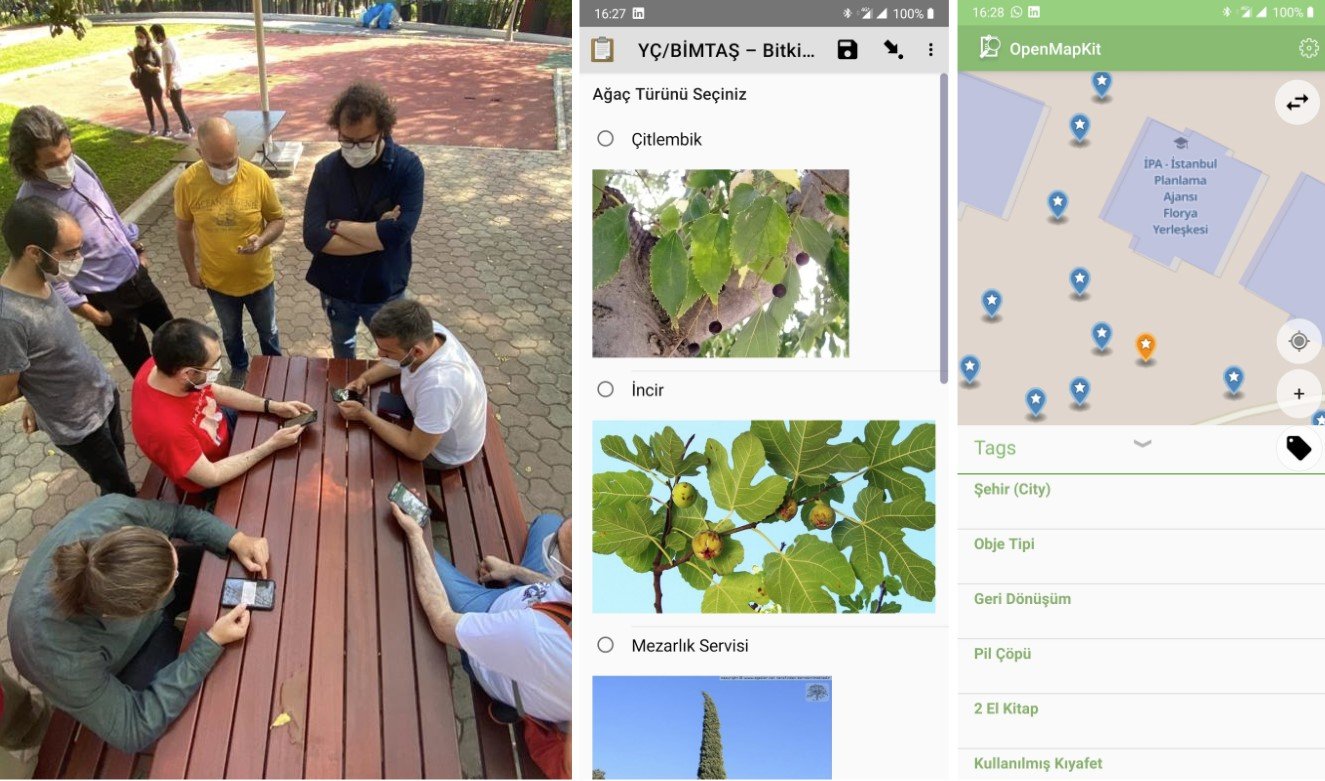
Field Mapping
On September 25, the project team was at IPA Campus for the field mapping. Based on the OSM data from the remote mapathon, the attendees were supplied with ODK and OMK forms to collect further information on campus buildings and trees, and digitize other features such as lighting fixtures, traffic and information signs, trash & recycling cans, etc.
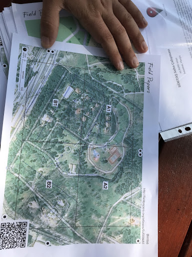
Divided into teams, the attendees have collected detailed information from the field via their mobile devices to improve the campus data on OpenStreetMap. The field teams were also provided with FieldPapers as well, demonstrating that one can still contribute to OSM with a pen and paper when there is limited hardware and connectivity.

What Now?
The field data will be acquired by the project team from the attendees for validation and then will be uploaded to OpenStreetMap, where the IPA campus data will be available in high detail.
Collaboration with our project team is expected to continue with public mapathons, workshops, and similar activities involving free and open-source mapping tools and applications.
Share
