Disaster Services — 03 December, 2019
Tropical Cyclone Typhon Kammuri Response
Tropical Cyclone Kammuri Activation Stats:
Community Mappersⓘ Total number of Mappers from Missing Maps
Total Map Editsⓘ Total number of edits from Missing Maps
Buildings Mappedⓘ Total number of buildings mapped from Missing Maps
Roads Mapped (KM)ⓘ Total length of roads mapped from Missing Maps
2019 Typhon Kamurri Response & Preparedness Mapping is an activation that comprises the following projects:
Context
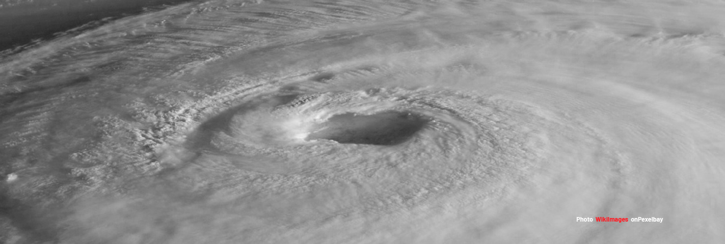
“According to … as of 10:00 local time on 29 November 2019, Tropical Storm (TS) Kammuri is approximately 1,430 km east of the southern Luzon, moving northwest.”
“According to the Philippines Atmospheric Geophysical and Astronomical Services Administration (PAGASA) as of 10:00 local time on 29 November 2019, Tropical Storm (TS) Kammuri is approximately 1,430 km east of the southern Luzon, moving northwest. PAGASA reports that Kammuri currently has maximum sustained winds of 140 kph near the centre and gustiness of up to 170 kph. Longer range models predict it could intensify to a category 4 typhoon. On entering the Philippine Area of Responsibility (PAR), which is estimated between 1 and 2 December 2019, it will be locally named ‘Tisoy’.”
Size-up Details
Event Name: Tropical Cyclone Kamurri
Type ofEvent: Slow Onset (days before impact)
Location: Western Pacific
Geographic Scope: Philippines
Estimated Humanitarian Impact: 34.9 million in Category 1 or higher
Estimated Duration: Days to Weeks
Event Scope: Minor to Moderate
Local Contacts: NA
Request(s): NA
HOT Current Capacity: NA
Need for Activation: NA
Projects
2019 Typhon Kamurri Response & Preparedness Mapping is an activation that comprises the following projects:
7384, Catanduanes Islands, Philippines
6733, Sorsogon Province, Philippines #1
6734, Sorsogon Province, Philippines #2
6735, Sorsogon Province, Philippines #3