Disaster Response
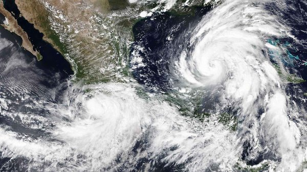
The rising impact and scale of humanitarian emergencies on vulnerable populations make the demand for data-driven disaster response even more pressing. Open geospatial data provides government agencies and first responders with critical information to take more informed and locally appropriate action when a disaster or humanitarian crisis hits.
Real-world Applications
1
After Hurricane Otis, HOT, in collaboration with the local government, used drone and satellite imagery to map 52,000 buildings and identify damaged structures; this data informed disaster response and recovery.
2
Over 9,000 volunteers mapped two million buildings, aiding rescue coordination, logistics, and emergency referrals, supporting at least ten organizations, including Türkiye Ministry of Health. after the 2023 earthquake.
3
In an urgent coordination to contain the spread of the Ebola virus in 2014, volunteers used satellite imagery to update crucial area data on buildings, population locations, and place names.
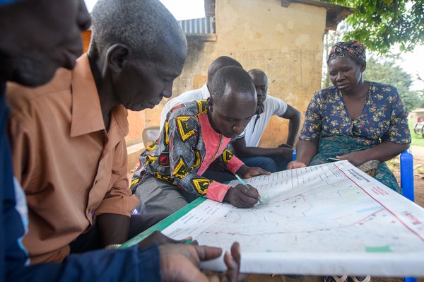
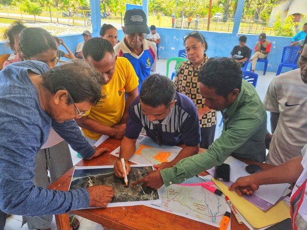
4
Tropical Storm Ana and Cyclone Gombe hit Malawi in early 2022, causing severe damage. A project led by HOT and Malawi Red Cross provided geospatial data for disaster recovery and planning, involving community participation and mapping training.